
Skye is a topographical nightmare, an island of such a tortuous and chaotic shape that it is impossible to describe in print. It consists largely of bits sticking out of bits sticking out of bits - an island composed entirely of peninsulae radiating from no obvious centre. It's roughly fifty miles long, averages about ten miles in width, and in very rough terms it's shaped a bit like a curved wing. Its shape is so complex that it is reckoned to have around 900 miles of coastline, and yet no single location on the island is more than four miles from the sea. To get from any part of the island to any other is to take a roundabout journey on narrow roads alongside deeply indented sea lochs, among scenery comprising wild moorland, mountains and scattered, open communities. You cannot help but be overwhelmed by a sense of your own insignificance in this landscape.
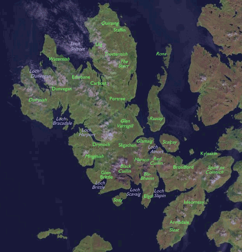
Skye's scenic gem is its principal mountain range, the Cuillin. This range consists of two groups of mountains, the Red Cuillin and the Black Cuillin. The Red Cuillin, which stand principally between Broadford and Sligachan, are great isolated hills of pink granite, inviting yet smooth and uniformly steep. The Black Cuillin lie west of the Red Cuillin and are the most savage mountains in the UK, comprising a complex curved ridge of jagged black gabbro. This is rock climbing, not walking, country. The Black Cuillin range includes twelve Munros, eleven of which would top most walkers' lists of the most difficult mountains in Britain. Sgurr Dearg (aka the Inaccessible Pinnacle) is the most challenging of all and requires specific mountaineering skills.
Further north the Trotternish peninsula is also of great scenic value, for here lie some of the weirdest rock formations in Britain. The Storr and the Quiraing, collections of strange spires, needles and other odd shapes, are principally basalt landslip features. Between the Cuillin and Trotternish lies the island's capital, Portree, a place which is tiny and quiet yet which has, by necessity, all the infrastructure of a provincial city.
Until recently journeys to Skye had to be
made by ferry. There were three vehicle ferries, the principal ones
from
Kyle of Lochalsh to Kyleakin and from Mallaig to Armadale, plus the
tiny
private one from Glenelg across the narrowest part of Kyle Rhea (where
Skye lies only about 300m from the mainland). Now, however, the Kyle of
Lochalsh ferry has been superseded by the sweeping arch of the new Skye
bridge. The bridge has ended the island's isolation but it has come at
a price - literally - for the bridge toll is one of the most expensive
in Europe and a considerable number of the island's inhabitants
continue
to campaign against it. Those who want a more traditional and romantic
approach to the Isle of Mists may still use the two remaining ferries.
The Glenelg route - although approaches to both sides of it are along
remote,
winding single-track roads - is perhaps the one which best prepares you
for Skye. You feel like a pioneer in this savage but beautiful
landscape.
 |
Sligachan - Kyleakin road, July 1979 |
 |
1980 motoring holiday |
 |
Glen Sligachan, August 1982 |
 |
Portree Bay and Harbour, August 1982 |
 |
Carbost, Talisker and Portnalong, August 1982 |
 |
Sound of Raasay cruise, August 1982 |
Back to Scottish Highlands index page
This page last updated 15th January 2005
![]()