 |
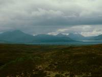
On the Skye side a narrow, winding,
single
track road winds across empty moorland towards Broadford. Broadford Bay
and the Red Cuillin are seen here from Glen Arroch. |
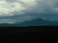 |
Beinn na Caillich (the "Peak of the
Old Woman")
from the same spot. |
 |
After a brief stop at Broadford
we've turned
left onto another lonely road, the one from Broadford to Elgol that
runs
hard by the southern slopes of the Red Cuillin. |
 |
Bla-Bheinn, or Blaven (3045ft,
translation
obscure) is one of Scotland's most dramatic sights. It sits at the base
of the Strathaird peninsula between the inlets of Loch Slapin and Loch
Scavaig and, although it sits beside the Red Cuillin, it has far more
in
common with the Black Cuillin and is a tricky climb. It's part of the
Highland
estate that was recently owned by rock musician Ian Anderson, of Jethro
Tull. |
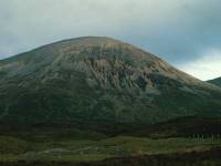 |
From the same point, Beinn Dearg
Mhor (the
Big Red Mountain, 2325ft). |
|
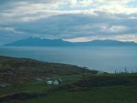
We've arrived at Elgol, a lonely,
scattered
community on the eastern shores of Loch Scavaig, from where we look
across
to the Island of Rhum. |
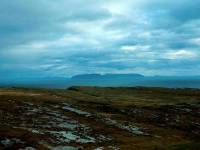
|
From the same spot, we look across
the rocky
foreground, Loch Scavaig and the Sound of Soay towards the craggy
island
of Eigg. |

|
The island of Soay, virtually
uninhabited. |
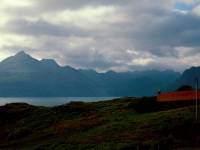
|
And this is the reward you get for
living
in such an out of the way place. The inhabitants of Elgol live with
this
dramatic view of the Black Cuillin, seen across Loch Scavaig. |
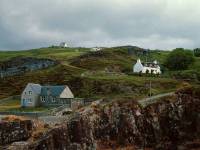
|
We found a bed-and-breakfast place
in Elgol
but there was nowhere to eat, so we had to drive the 17 miles back to
Broadford
for an evening meal then the 17 miles out to Elgol again. The village
of
Elgol itself, seen the following morning. |

|
The reason for our excursion to
Elgol was
to get a boat trip across Loch Scavaig to the environs of the Black
Cuillin.
We were waiting for the boat to depart but Skye's traditional weather
intervened
and we dashed back to the car to sit out the storm. |

|
Twenty minutes later, we saw this
glorious
view of Rhum across the sound of Soay. |

|
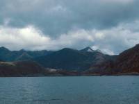
And now a small group of intrepid
explorers,
Graham and myself among them, are on board the tiny passenger boat that
plies Loch Scavaig. We are approaching the Black Cuillin, Scotland's
most
dramatic mountain range. Sgurr na Stri ("peak of conflict") looms to
the
right. |
|
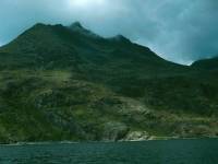
Drawing nearer to the Cuillin range. |
|
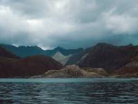
That's Gars-bheinn, or Garven,
(2935 ft,
translation obscure). It's the first summit in the traverse of the
Black
Cuillin Ridge, an expedition for experienced rock climbers and way
beyond
the capabilities of ordinary walkers like me. A traverse of the ridge
involves
10,000ft of ascent and a great deal of exposure to vertical drops. Some
climbers aspire to complete the traverse in a day. |
|
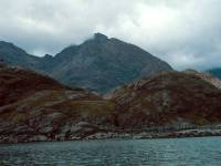
The Black Cuillin loom closer. |
|
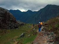
Sgurr nan Eag, (3031ft), the first
Munro
of the Cuillin ridge. "Sgurr" is "peak", while "eag" means "notch,
tooth,
or serration". |
|
We've reached the meagre landing
stage and
we're now trekking the few hundred metres inland to Loch Coruisk |

|
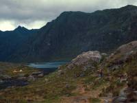
It's not seen here but the Coruisk
River,
which flows through this little ravine, is the shortest river in
Britain
at about 350 metres. |
|
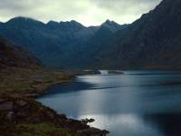
Loch Coruisk, set within the heart
of the
Black Cuillin, and one of the wildest places in Britain. This is a
sight
few people see. Note the tents pitched to the left of the loch. What
lucky
people to have this to themselves. |
|
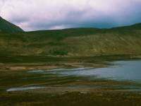
Loch Coruisk. Magnificent! |
|
Having returned from the boat trip
we've
given two schoolteachers a lift to Broadford and have now parked up on
a lonely back road near Loch Ainort to have a late (about 3.30pm) lunch. |

|
From our lunch stop we can loom up
into the
Coire nan Bruadaran to see Blaven looming across the col. |

|
The neighbouring peak of Marsco
("seagull
rock", 2414ft). |

|
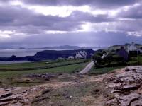
This is Trotternish, the
northernmost part
of the Isle of Skye. We're travelling along the east coast road north
of
Portree and the Storr, en route for Staffin. |
|
The wild Trotternish coast near
Valtos. |

|
Rubha Reidh seen from Trotternish,
just south
of Staffin. |

|
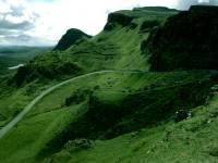
Just north of Staffin is the
weirdest rock
formation in Britain - the Quiraing, formed like the Storr of a basalt
landslip. |
|
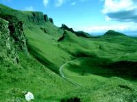
The high road across Trotternish to
Staffin
winds up through the rock formations south of Quiraing. |
|
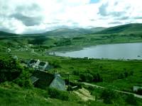
The Quiraing from the high road |
|
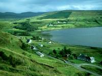
The village of Uig, on the west
side of Trotternish.
Uig is the end of the longest bus route in Britain (Glasgow - Fort
William
- Kyle - Portree - Uig) and is the point from where ferries depart to
the
Outer Hebrides. |

|
The ferry terminal. |
|
Another view of Uig, from the high
road to
Staffin. |
|
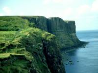
Kilt Rock, on the east Trotternish
coast
near Elishader. The cliff is formed of basalt columns. |

|
The Meallt Falls, south of Kilt
Rock. |

|
The coast of Trotternish near
Valtos, looking
more like an oil painting than a photograph. |
![]()