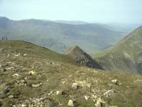
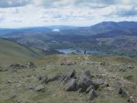
The Fairfield Group
Sketch map will appear here
The Fairfield group forms the southern half of Wainwright's Eastern
Fells. Fairfield itself, not far short of Munro height at 2863 ft,
stands
at the northern apex of a classic horseshoe ridge, both limbs of which
descend southwards towards the town of Ambleside at the head of Lake
Windermere.
The Fairfield Horseshoe is a classic walk - out along the east ridge
via
Low Pike, High Pike, Dove Crag and Hart Crag to fairfield, then back
along
the west ridge via Great Rigg, Heron Pike and Nab Scar.
Typically of Lakeland, the western slopes fall smoothly to the
valleys
but the eastern slopes throw out a complex of lateral ridges. The
greatest
of these extends northeastwards from Fairfield towards the head of
Ullswater
and includes St Sunday Crag, Birks and Arnison Crag. Hart Crag's
eastern
ridge forms Hartsop Above How, while Dove Grag's eastern ridge rises to
Little Hart Crag and then again to High Hartsop Dodd. Finally there is
the Red Screes ridge, a third north-south ridge laying east of Hart
Crag
and connected to it via the Scandale col. All these eastern ridges
overlook
the valley of Goldrill Beck, flowing north to Brothers Water and
Ullwater
alongside the Kirkstone Pass road. The group is bounded to the west by
Grasmere, Rydal Water and the river Rothay, all of which are well seen
from Heron Pike and its neighbours; and to the north by the pass of
Grizedale,
beyond which is Helvellyn.
Gallery Index
Back to Lake District index page
This page last updated 9th November 2003

 .
.

