 |
I began the day by catching the bus from Keswick to
Ambleside. This
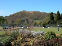
is a view of Ambleside's bowling green and park with Loughrigg in the
background. |

|
The bowling green and pavilion |

|
Another shot of the bowling green, with Ambleside church in
the background. |
|
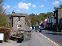
This tiny house on top of a bridge used to be the National
Trust information
centre |
|
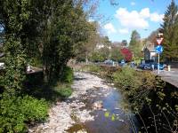
Stock Ghyll, flowing beside the main road out of Ambleside to
the north. |

|
I turned right for the stiff climb up Smithy Brow. |

|
Smith Brow climbs rapidly to the northern heights of
Ambleside, heading
for Kirkstone Pass. |

|
Leaving the town to the north, and looking over to Wansfell
on the
right. |
|
Still a few houses on the outer fringes of Ambleside. |
|
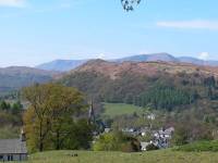
Looking down on Ambleside from the Kirkstone Pass road. |
|
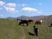
Cattle grazing beside the Kirkstone Pass road. |

|
Turning left into a lane brings you to the south ridge of Red
Screes,
and already the scenery is wild. |
|
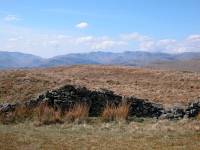
Looking eastwards to the fells surrounding Grasmere. |
|
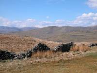
One of the limbs of the Fairfield horseshoe |

|
A little higher up the ridge this lovely view of Rydal Water
opened
up. |
|
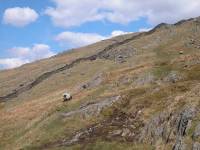
The path bypasses the rocky outcrops of Snarker Pike and then
ascends
the steep flanks of the slope behind. |
|
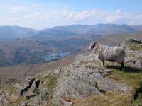
On the ridge proper once again, looking down at Rydal Water
with Silver
How beyond. |

|
Nearing the summit ridge of Red Screes already. |
|
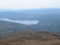
Looking back at Ambleside and the head of Windermere. |
|
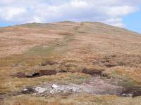
Approaching the top of Red Screes |

|
That looks like the top... |

|
...but it's not. A false summit, and the ridge continues to
ascend
beyond. |
|
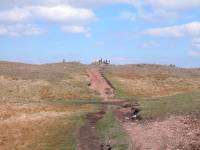
This looks more like it. |
|
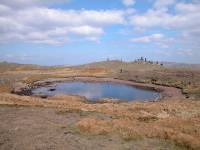
A most unusual feature - a sizeable tarn near a summit. |

|
I've reached the top of Red Screes. This is the view
northwards down
to Middle Dodd, with a tiny piece of Brothers Water in view. |

|
Looking northwest towards Helvellyn |

|
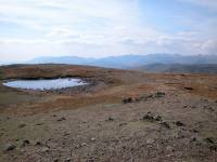
The view to the west; the Scafell group, Great Gable, Pillar
and High
Stile. |
|
The Coniston fells and the Scafell group, to the southwest. |

|
The summit wind shelter on Red Screes. |

|
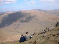
The view eastwards towards the Kentmere horseshoe. |
|
Looking northeast across Kirkstone Pass to Caudale Moor (aka
Stony
Cove Pike) with High Street behind. |

|
The trig pillar that marks the actual summit of Red
Screes. |

|
Looking down the northern ridge of Red Screes to Middle Dodd. |

|
Middle Dodd is next on my itinerary, and this is a shot taken
from
the walk along the ridge. |

|
Middle Dodd, 2106 ft. It hardly counts as a separate fell,
there being
barely six feet of reascent from the col between this top and Red
Screes. |

|
The view northwards from the cairn to Brothers Water. |

|
Southwards from Middle Dodd, and the retrospective view of
Red Screes. |

|
From Middle Dodd I took a pathless track around the northwest
shoulder
of Red Screes, to meet the path from Red Screes to the Scandale col.
The
craggy top just right of centre is Little Hart Crag, my third fell on
my
list. |

|
This walk is far less of a doddle than the ascent of Middle
Dodd. It's
more than a mile and there's over 400 ft of reascent. |

|
Plus, there's a fair number of small, rocky outcrops along
the ridge. |
|
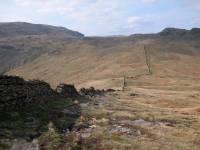
This is the Scandale col, at 1650 ft. From here I followed
the wall. |
|
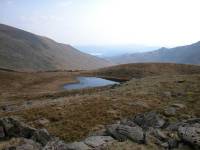
The wall leads to Black Brow, a high level ridge between
Little Hart
Crag and Dove Crag to the west. A small tarn lays to the south. |

|
From here it's just a short walk to the summit outcrop of
Little Hart
Crag, and fortunately the climb is less daunting than it looks. |
|
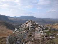
The summit of Little Hart Crag, 2091 ft. St Sunday Crag is
the summit
in the centre of shot, two and a half miles to the northwest. Helvellyn
peeps through the col to the left. |
|
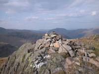
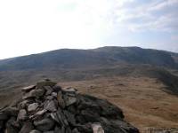
Place Fell appears to the north, with Great Mell Fell way
beyond to
the left. |
|
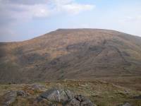
To the west we're looking at Hart Crag and Dove Crag. |
|
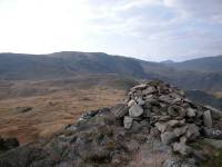
and there's Red Screes again to the southeast. |
|
Hart Crag is the main summit in view, left of centre; behind
is Fairfield
in the centre of shot, and Helvellyn peeps through to the right. |

|
The north ridge of Little Hart Crag, looking down to High
Hartsop Dodd
and Brothers Water. |

|
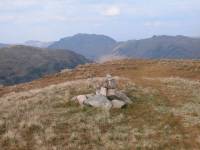
High Hartsop Dodd is the last of my four summits of the day,
and the
intervening ridge from Little Hart Crag is an easy walk. |
|
Here's the top of High Hartsop Dodd, 1702 ft. Like Middle
Dodd across
the valley, it barely counts as a separate fell as there's very little
reascent from Little Hart Crag. |

|
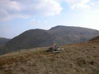
There's quite a decent view from the little cairn. That's
Hart Crag
and Fairfield to the northwest. |
|
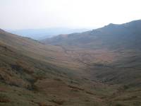
And over there is Red Screes once again. |

|
This is a real stroke of luck - the first time I've ever seen
a badger
in the wild. They are not usually seen in broad daylight - or on
fellsides
for that matter. |
|
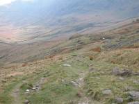
I've taken a second route across a pathless fellside, this
time crossing
the shoulder of Little Hart Crag to get to the Scandale col direct.
This
is the lonely view southwards down Scandale. I have ninety minutes to
get
back to Ambleside for the last bus back to Keswick. |
|
Fortunately the path is predominantly grassy and I'm able to
make good
time. |

|
The descent down into the bowl of Scandale. |

|
The first enclosure wall is reached. |

|
From now on I'm on a good vehicle track, but I'm not really
sure how
far it is to Ambleside. Just over an hour left.. |

|
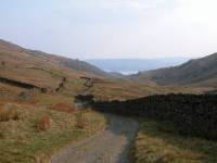
A quick look back from where I've come, with Dove Crag and
Little Hart
Crag looking fearsome. |
|
Further down the valley. Less than forty five minutes left
and no sign
of Ambleside yet. |
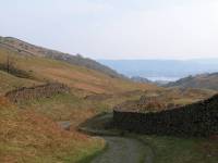
|
Windermere is beginning to appear and the scenery is
softening. |

|
Am I anywhere near Ambleside yet? |

|
The first landmark - High Sweden Bridge, and the route to the
Fairfield
Horseshoe. |

|
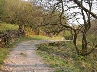
Shouldn't be long now, maybe two miles at the most. |
|
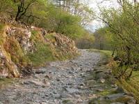
Lower Scandale really is lovely... |

|
...and scenery such as this shouldn't be rushed... |
|
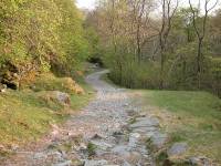
...but I have only twenty five minutes in hand now... |
|
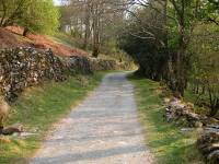
...and have to step out. |
|
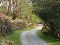
Still no sign of Ambleside but the track is far smoother now
and I
can't be far away. |
|
Any minute now I'll see the first house in Sweden Bridge Lane. |

|
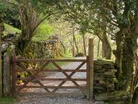
Just round this bend perhaps? (Eighteen minutes). |
|
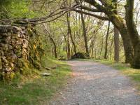
Ah, a gate. |
|
How much further to Ambleside? I'm worried now. |

|
There it is! Fourteen minutes, I'll make it now. |

|
Time to enjoy the view westwards over towards Rydal Water. |

|
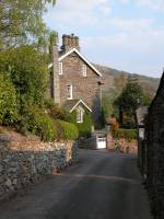
This is Sweden Bridge Lane, Ambleside. |
|
A little photographic record of its charms... |

|
...and one final shot before turning right down Smithy Brow
to the
town centre. I made the bus without any problem. It had been a fine day. |
![]()