 |
Our route to the Dove Crag rises alongside Hatsop Beck, in
the valley
of Dovedale. The path runs through a very pleasant area of woodland in
its lower stages. |

|
A little higher, and we can see the route curving around to
the left.
Dove Crag itself is seen ahead. |
|
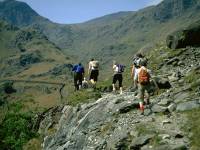
The Mountain Goat group making its way along the path. |

|
Higher up in the valley now, we've left the woods and the
intake walls
and are in open country. |
|
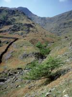
Dove Crag seen above Dovedale |
|
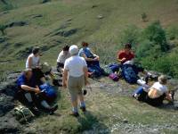
The group stopping for elevenses on a convenient patch of
turf. |
|
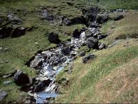
Dovedale Beck, from our elevenses spot |

|
Looking back down Dovedale as we reach the col between Dove
Crag and
Hart Crag. |

|
We've come over the summit of Hart Crag, and are now looking
across
the col to Fairfield. |
|
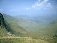
Deep Dale seen from Link Hause, the col between Hart Crag and
Fairfield. |
|
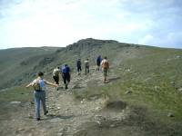
The Mountain Goat group approaching the top of Fairfield,
2863 ft above
sea level. |

|
The Helvellyn group, seen from the approach to Fairfield |

|
Looking back at Link Hause and Hart Crag. |
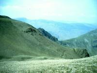
|
Grizedale Hause from Fairfield. |
|
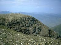
The summit of Fairfield seen across one of the gullies at the
head
of Deep Dale. |

|
Rydal and Windermere, seen from the col between Fairfield and
Great
Rigg as we continue around the horseshoe. |

|
Having traversed Great Rigg we're now on Heron Pike and
looking down
to Grasmere. |
|
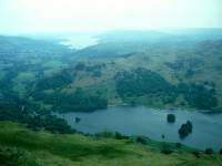
Looking down on Rydal Water from Heron Pike, with Windermere
seen in
the distance. |
|
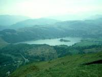
Grasmere from Heron Pike. From here we ascended the final top
of Nab
Scar before descending to the road and walking the last couple of miles
back to Ambleside. |
![]()