| Drymen to Rowardennan | Back to West Highland Way index | Adrleish to Tyndrum |
| Drymen to Rowardennan | Back to West Highland Way index | Adrleish to Tyndrum |
Even this section is only relatively tricky, and it is tricky only in parts. The terrain chops and changes a little, varying between vehicle tracks and forest rides, through simple woodland paths, to bouldery clambers over rock outcrops. It's these rocky clambers, which occur in forest sections and also feature the additional tripping hazard of exposed tree roots, that give the walk its reputation. Although they occur almost wholly within the second half of the walk north of Inversnaid, one of these sections is pretty extensive and all of them, although not technically difficult and no worse than you would find on pretty nearly any mountain ascent path, are tedious.
So you're in for a bit of work. Fear not. If you're used to hillwalking you'll find no terrain here that you're not familiar with. And although the forest cover is both thicker and more extensive than on the previous section from Drymen to Rowardennan, there are as many delightful places to discover and glorious views to be had.
Logistically, the walk relies on two (or
possibly
three) ferry crossings. You can reach Rowardennan by the 10.30 ferry
crossing
from Inverbeg on the west side of Loch Lomond. At Inversnaid there is a
passenger ferry over to Inveruglas on the west shore; unfortunately I
have
no details of its sailing times but it could be used to break the walk
into two parts or as a bad weather escape. At the end of the walk a
regular
passenger ferry plies from Ardleish (just a locality, nothing there) to
Ardlui for the Citylink coach or rail station. For backpackers, camping
should be possible at either end or at several spots en route.
|
|
|
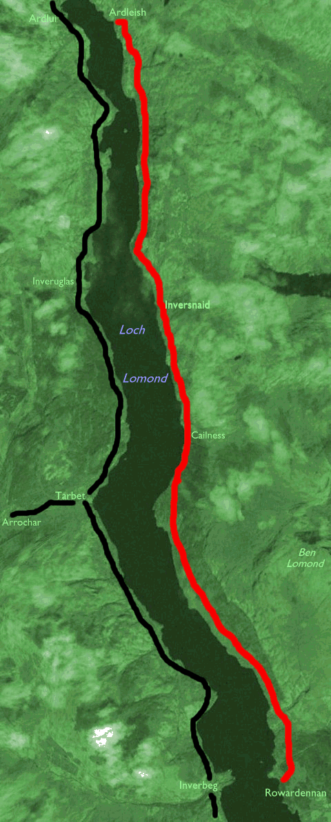
| Length: | 11.6 miles / 18.6 km |
| Total ascent: | 2095 ft / 638 m |
| Total descent: | 2067 ft / 630 m |
| Estimated time: | 4 hrs 24 mins |
Ferry from Inverbeg to Rowardennan leaves Inverbeg pier at 10.30, daily Easter to late September.
Logistically this walk is very simple. Walk north, keep the loch to your left, and keep going for ten and a half miles.
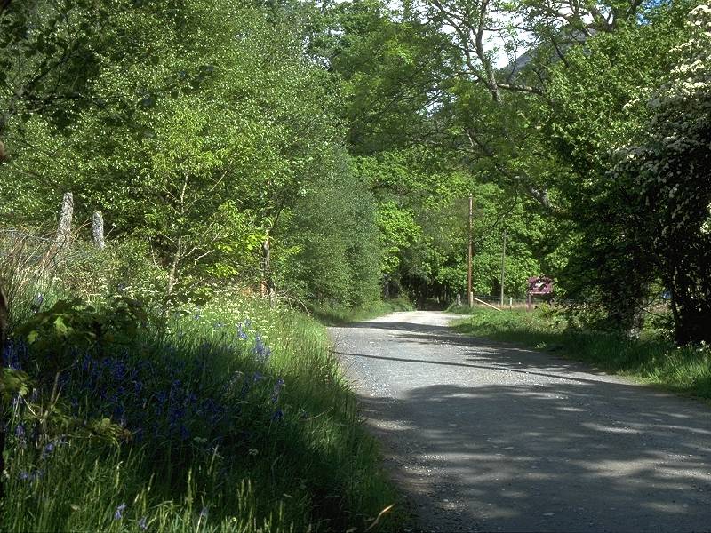
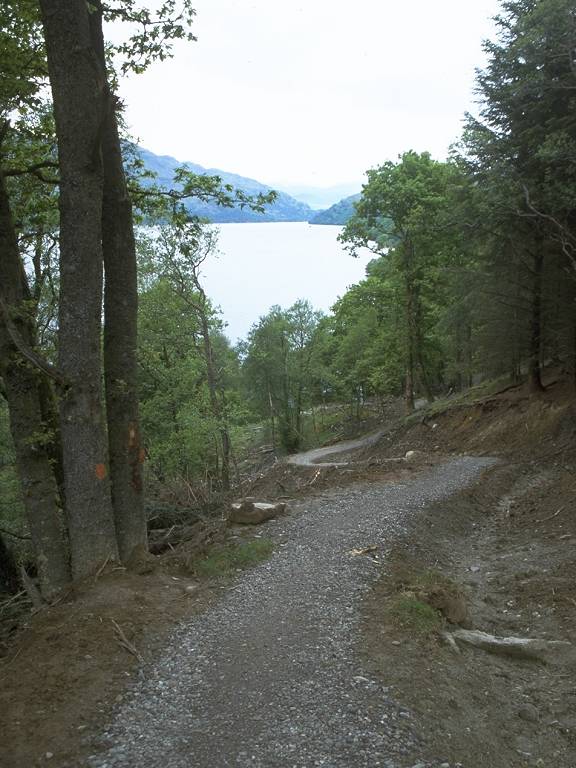
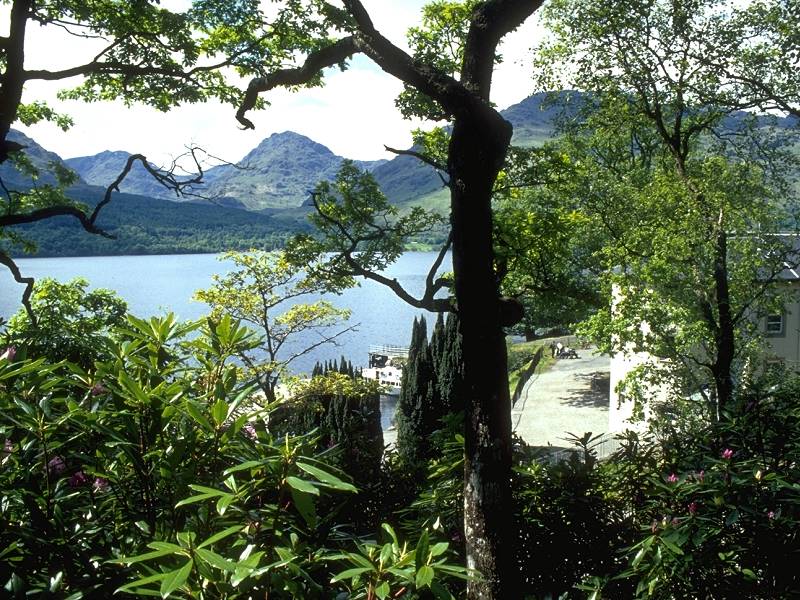
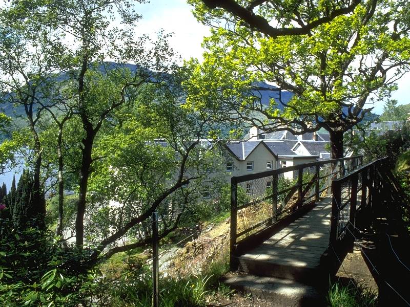
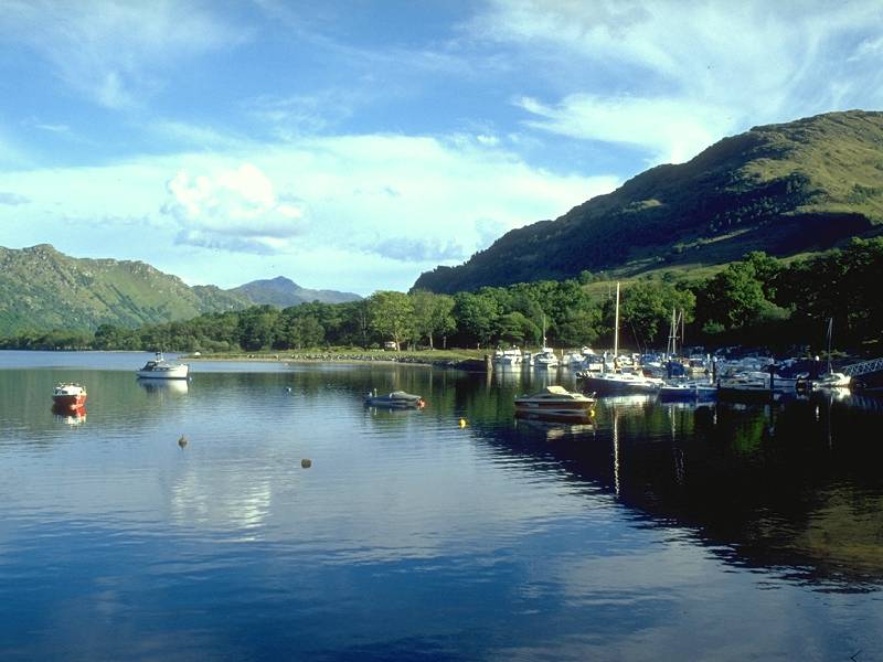
Starting at the Rowardennan ferry pier, take the short length of tarmac road northwards past the youth hostel. The road soon becomes a driveway, passing a few isolated but very desirable houses. After about three quarters of a mile the West Highland Way enters forest, hugging the lochside on a good vehicle track.
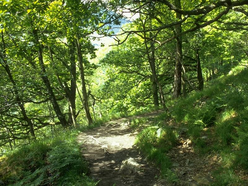
The forest ride between Rowardennan and Ptarmigan Lodge; Inverbeg from Yet of Ptarmigan
After about a thousand yards of forest ride the Way reaches a feature called the Yet of Ptarmigan, and begins to veer away from the side of the loch and to gain altitude.

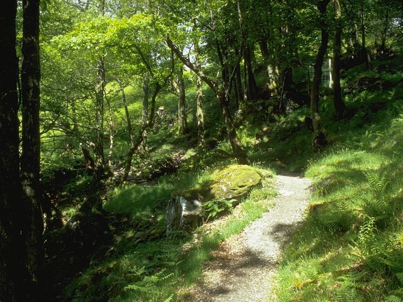
Just past Ptarmigan Lodge the path bifurcates; you can choose to stay on the forest ride, which cuts straight through the trees a couple of hundred feet above the lochside, or you can take the simple woodland path which stays lower down and nearer to the waters' edge. My first observation is that the path junction is very easy to miss (in fact, when I did this walk in May 2000, I failed to find it at all). The second observation is that the woodland path offers no scenic advantage while being that much more difficult to negotiate. It winds through very mature stands of trees that offer no views and has a rather "shut-in" feel. I found a side trail from the forest ride down to the woodland path but regretted taking it and was relieved when it merged with the proper track again some three miles further on.

Woodland path north of Ptarmigan Lodge
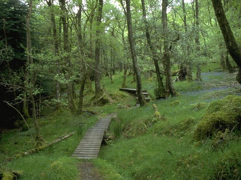
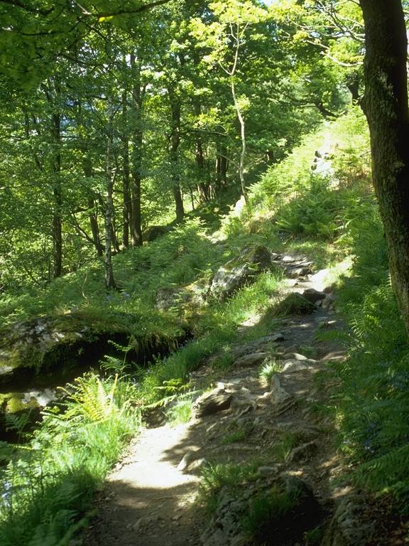
Woodland path; the made path south of Cailness
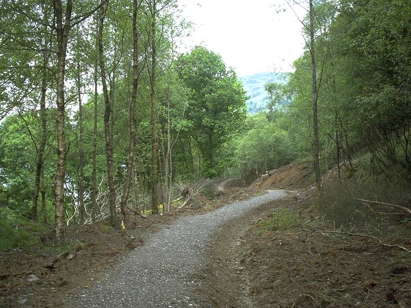
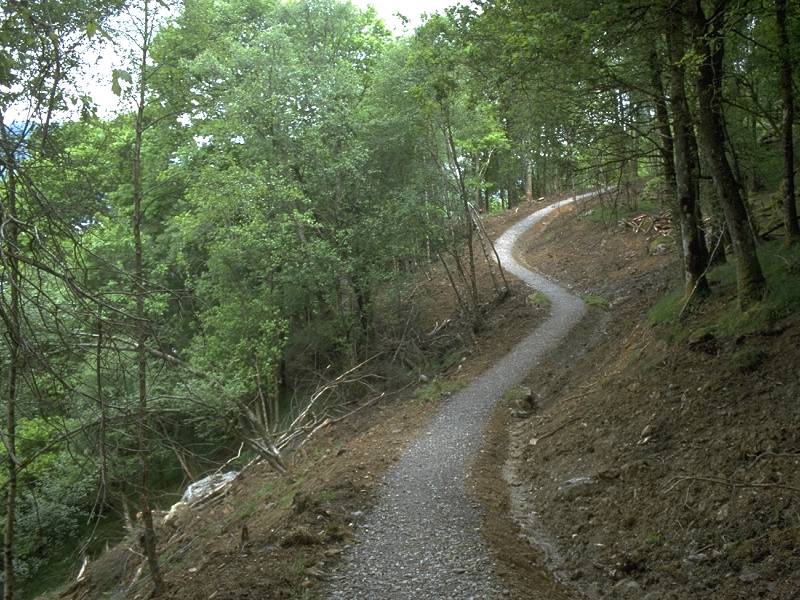
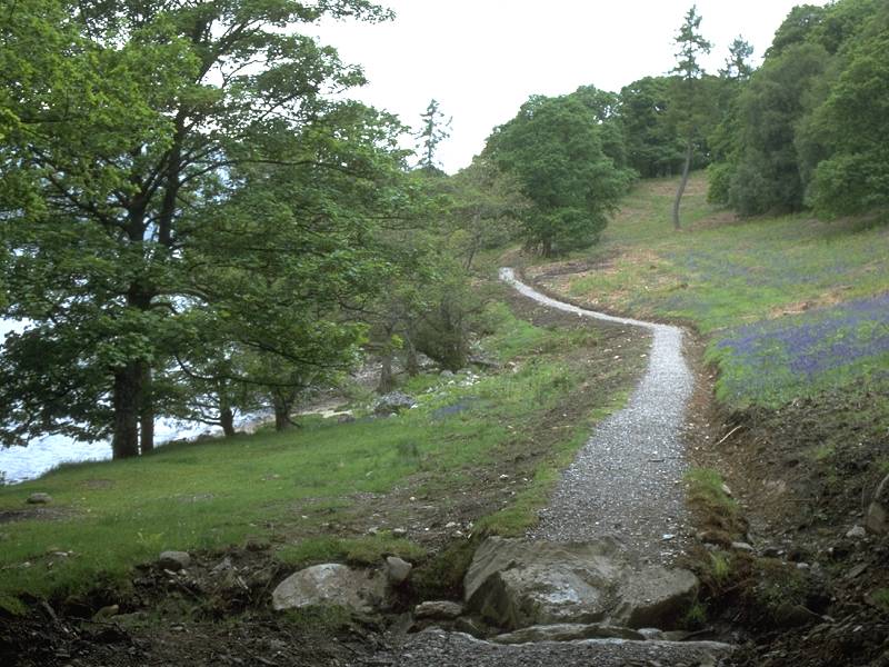
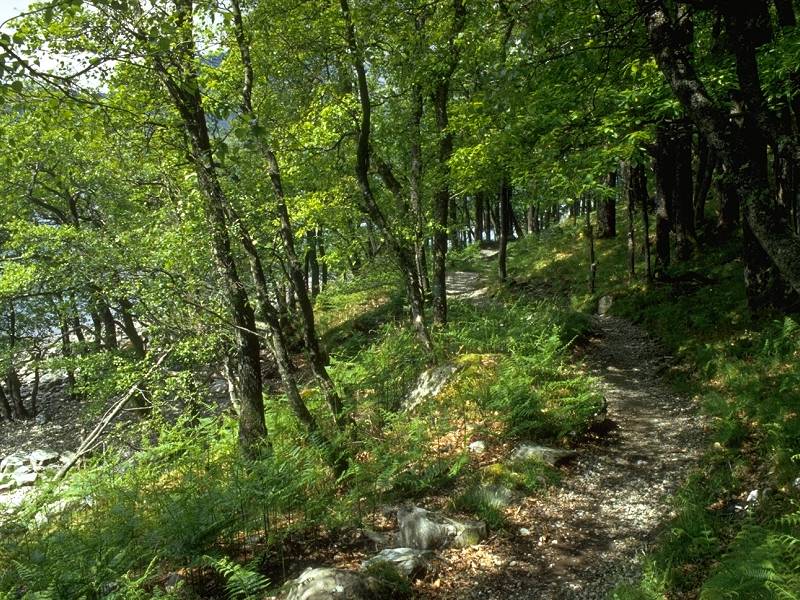
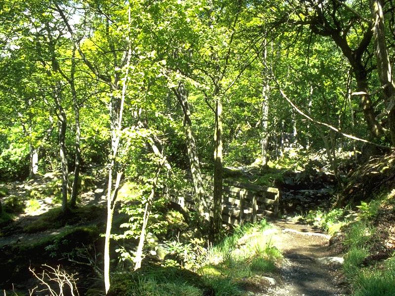
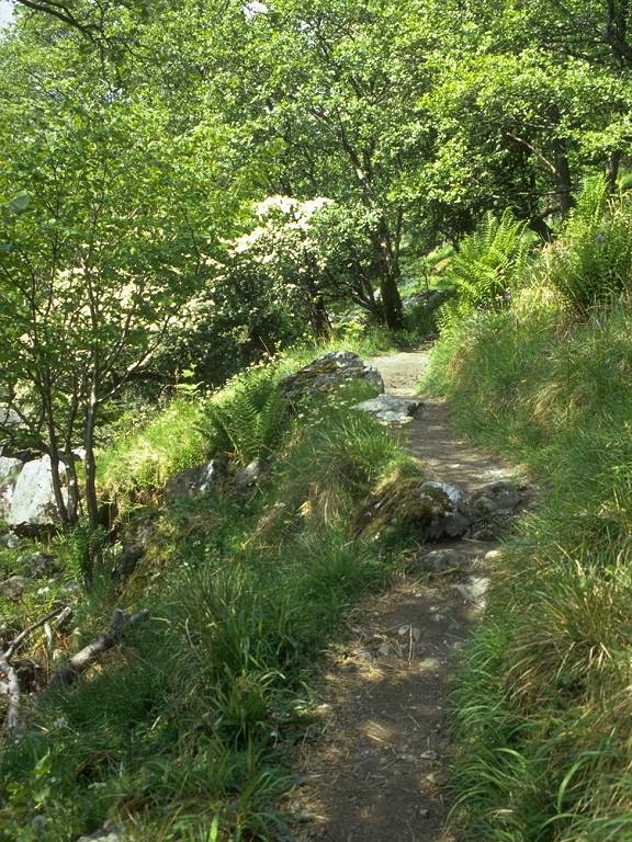
It's not long before the forest ride ends at a turning circle. From here on there follows two miles or so of "made" path, surfaced with shingle and following an obviously artificial course. In May 2000 it looked as though it had only recently been completed.
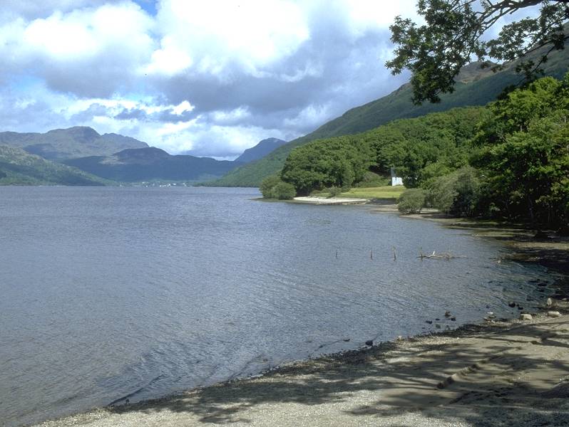
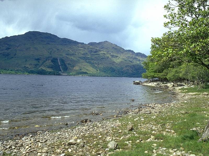
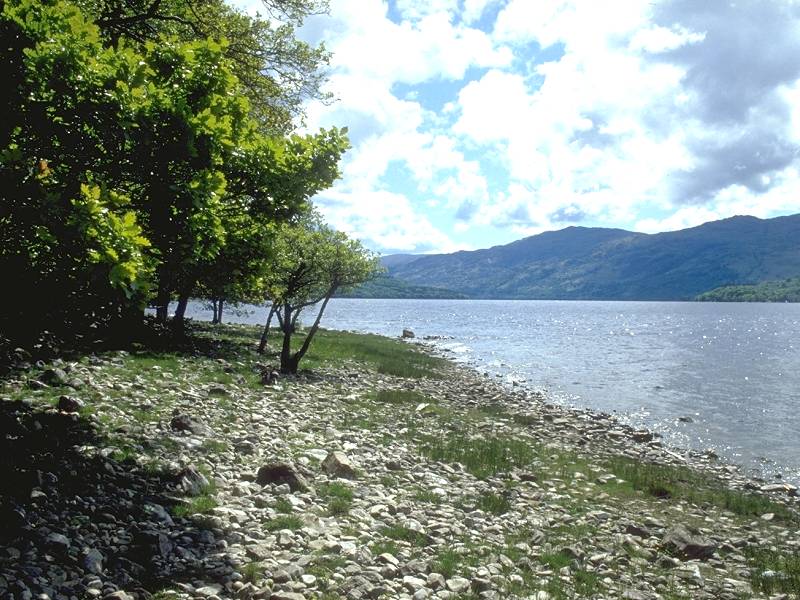
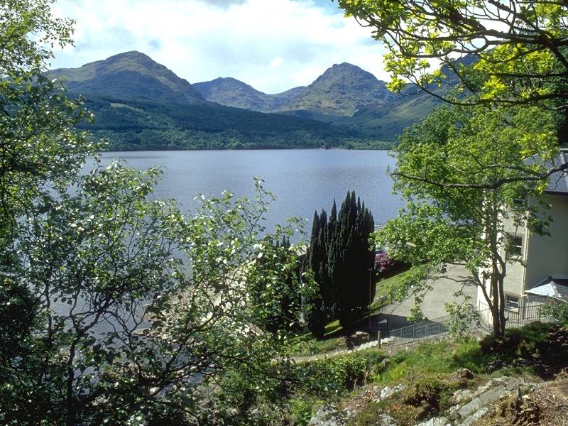
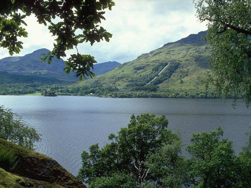
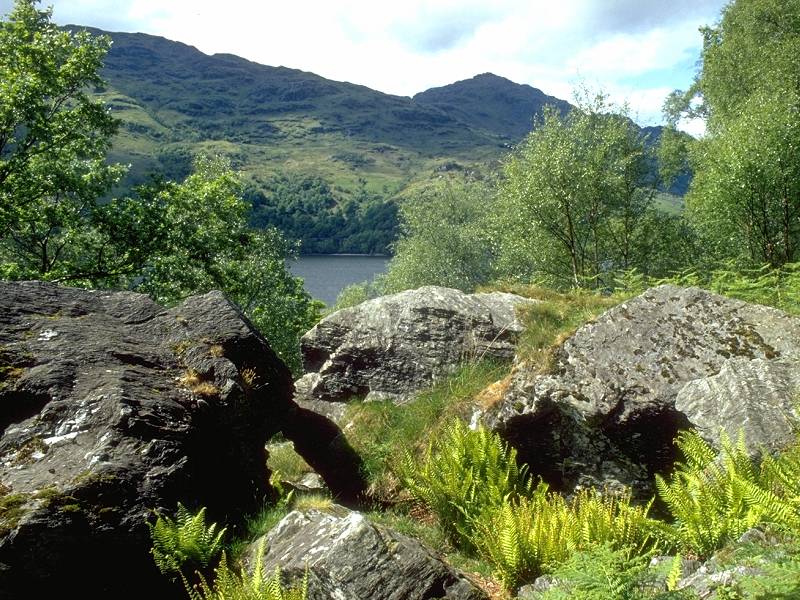
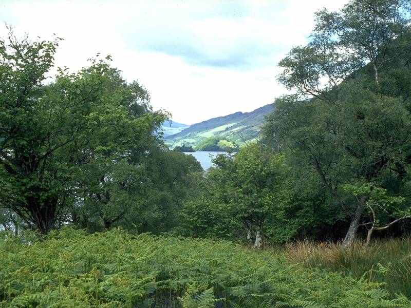
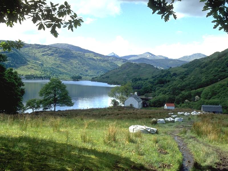
You're north of the Ben Lomond massif now, and across the loch you will just have passed the village of Tarbet from where a gap in the hills leads to Arrochar at the head of Loch Long. The "Arrochar Alps" - the mountains of Beinn Narnain, Ben Arthur and Beinn Ime - tower over the Arrochar and Tarbet to the north.

The West Highland Way at Cailness
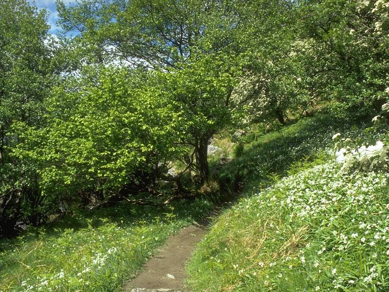
Some 7.5 km, or just over 4 miles, north of Rowardennan, the path crosses the Cailness burn by a footbridge and finally leaves the environs of the Queen Elizabeth Forest Park (first encountered just beyond Drymen). The isolated lodge of Cailness stands to the right, reached only by a hill track coming over from the Trossachs by way of lonely Gleann Gaoithe (valley of the wind). The shingle path continues for a short distance through a section of open ground before entering a stretch of natural woodland and becoming a simple path.
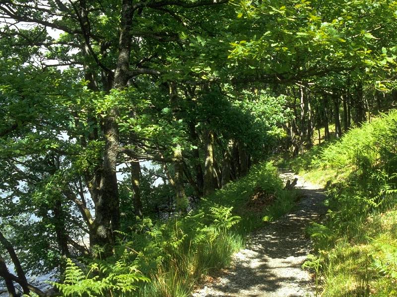

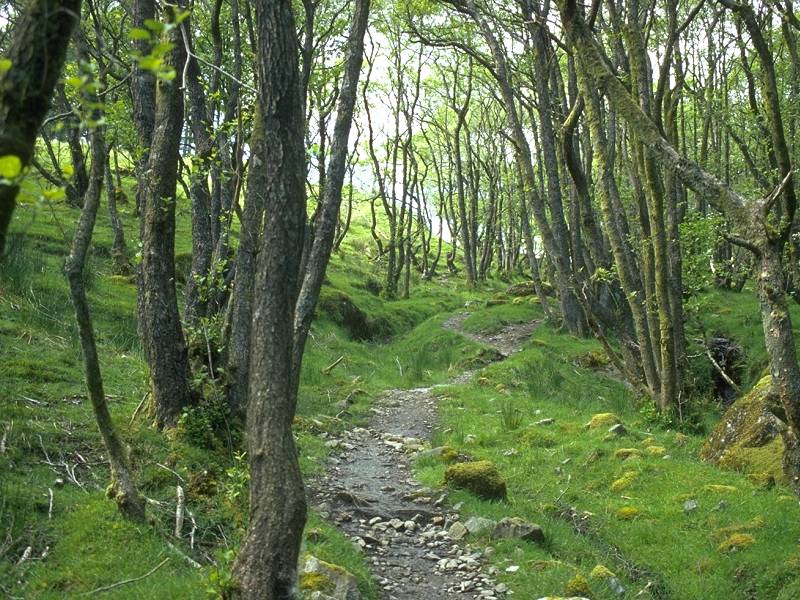
The West Highland Way in the woods between Cailness and Inversnaid
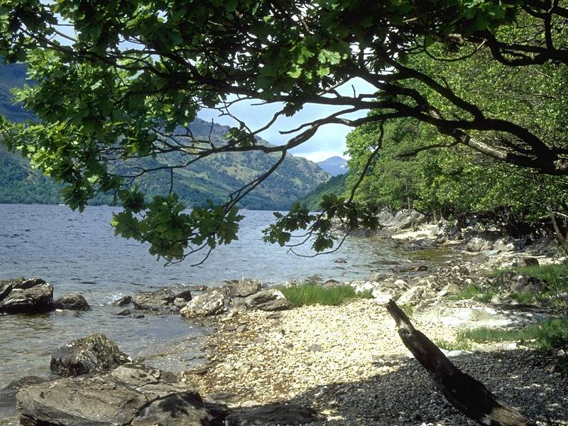
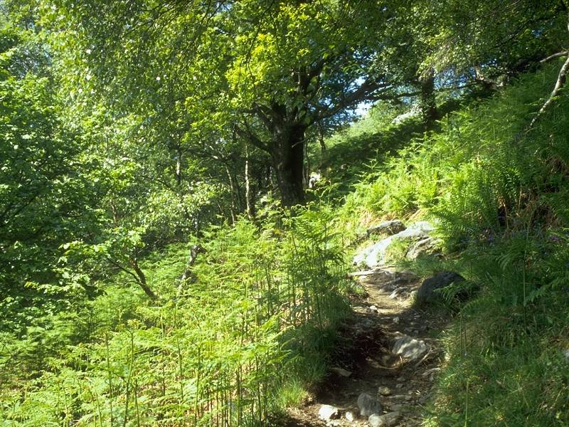
The woodland stretch of the west Highland way north of Cailness is very pleasant. This is natural woodland, not forest plantation, and the path meanders near the edge of the loch much as it did during the woodland sections yesterday. During my traverse of this section I couldn't help noticing how the sun, which had deserted me through the less interesting scenery past Ptarmigan and Cailness, had now reappeared to liven up this lovely stretch of woodland. Vistas across the loch are on offer again, while the burns coming down the slopes of Cruachan to your right form several pretty waterfalls.
Woodland path; Inveruglas; Tarbet
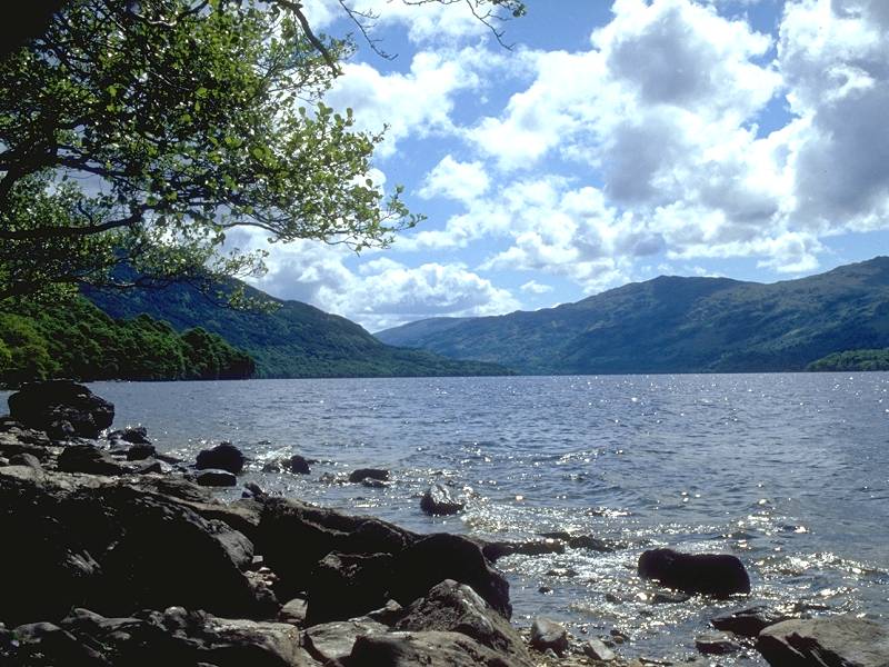
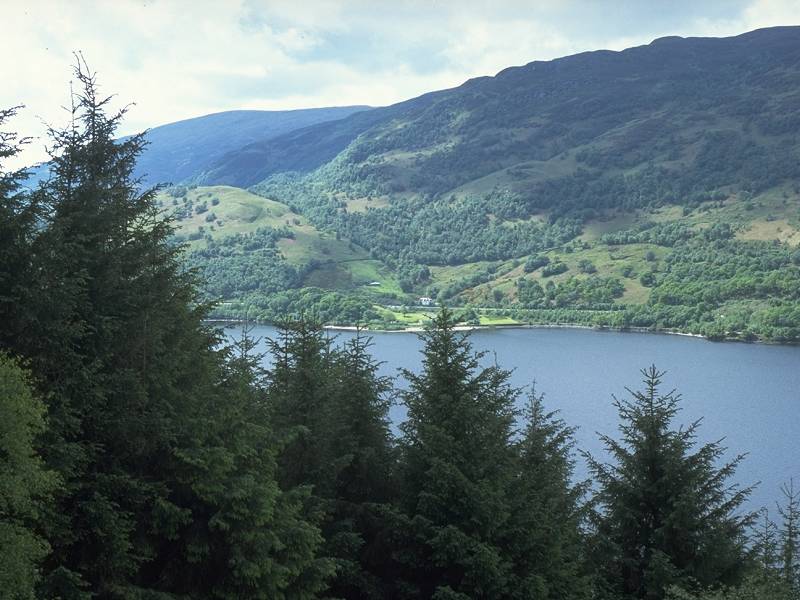
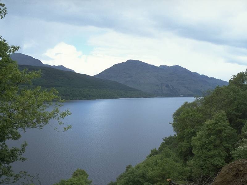
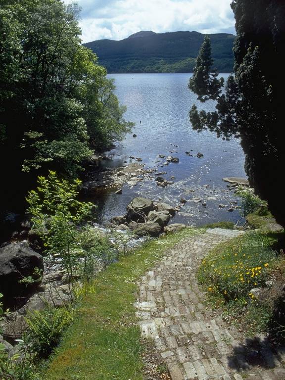
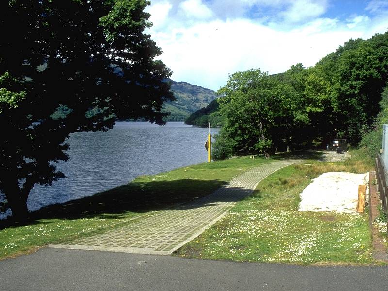
Loch Lomond
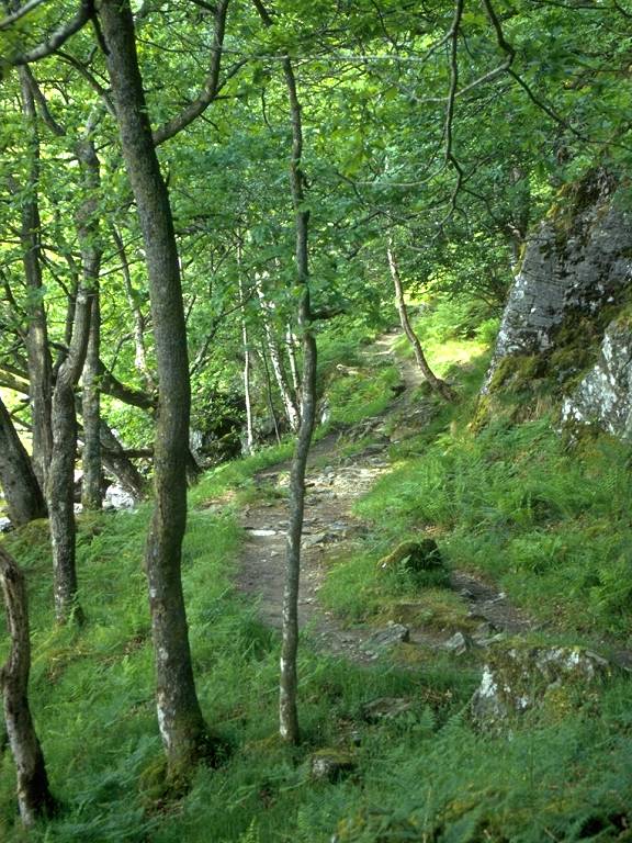
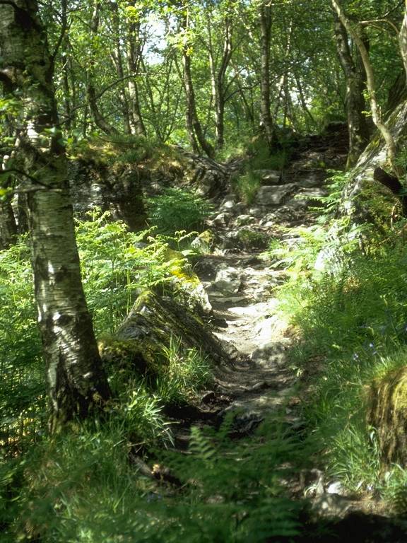
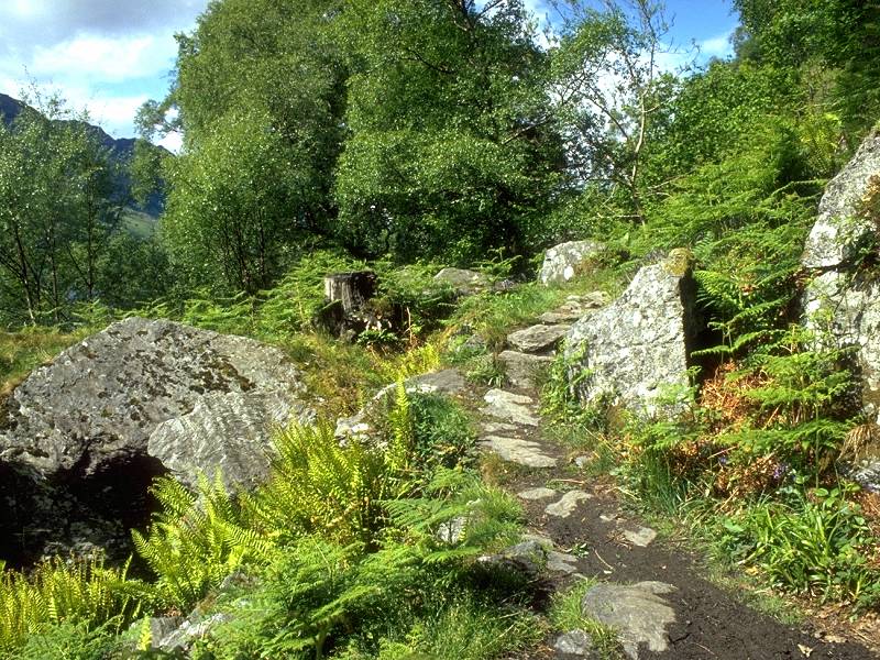
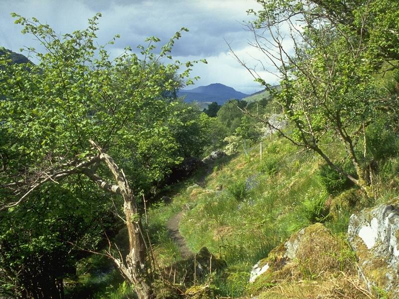
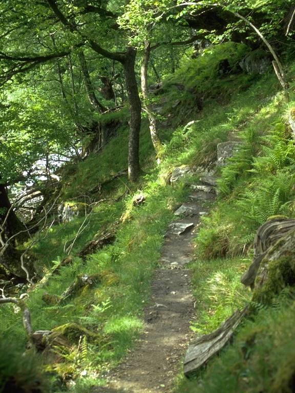
The terrain is occasionally rough, with the path hopping up and down over rock outcrops, and with plenty of exposed tree roots waiting to trip you up. But the scenery makes it worthwhile. The path continues in this mode all the way to Inversnaid. the day's halfway point.
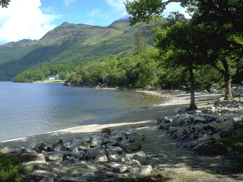
Arriving at Inversnaid; Ben Vane and Ben Vorlich

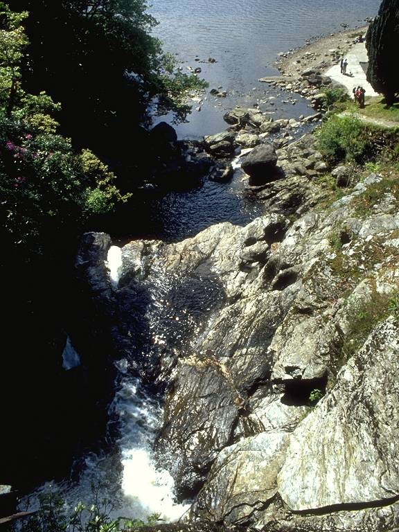
It's almost laughably incongruous, after struggling through remote forests and along rocky lakeshore paths, to come suddenly upon a massive country hotel set in manicured grounds. The Inversnaid Hotel sits snugly at the foot of Glen Arklet, at the end of the Trossachs road. Loch Arklet is a reservoir and is dammed, with the result that the issuing stream comes down at a pretty good lick and thunders down into Lomond by a spectacular fall, bridged just to the south of the hotel.
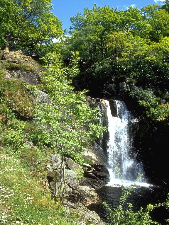
The Inversnaid falls and the path to the viewpoint
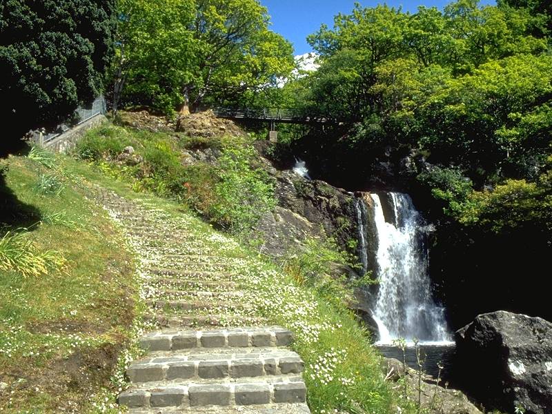
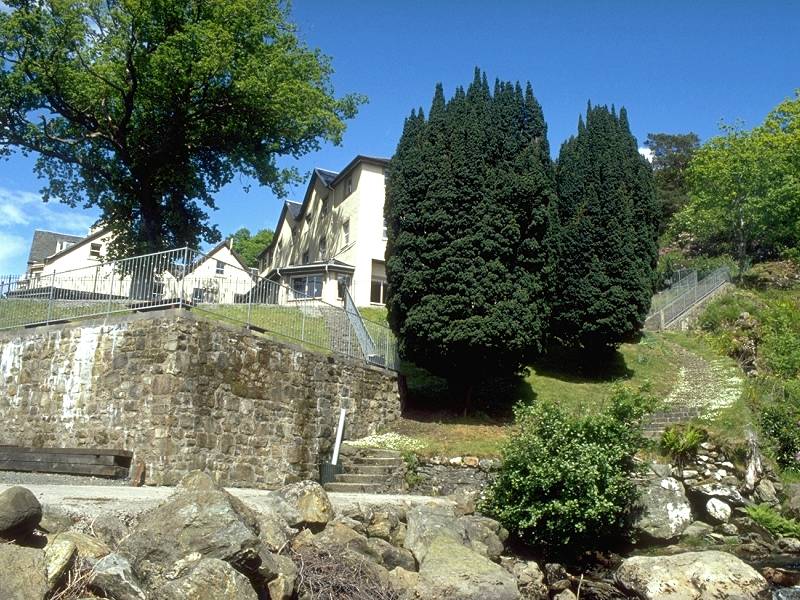
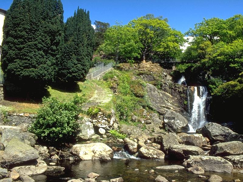
Inversnaid falls and hotel
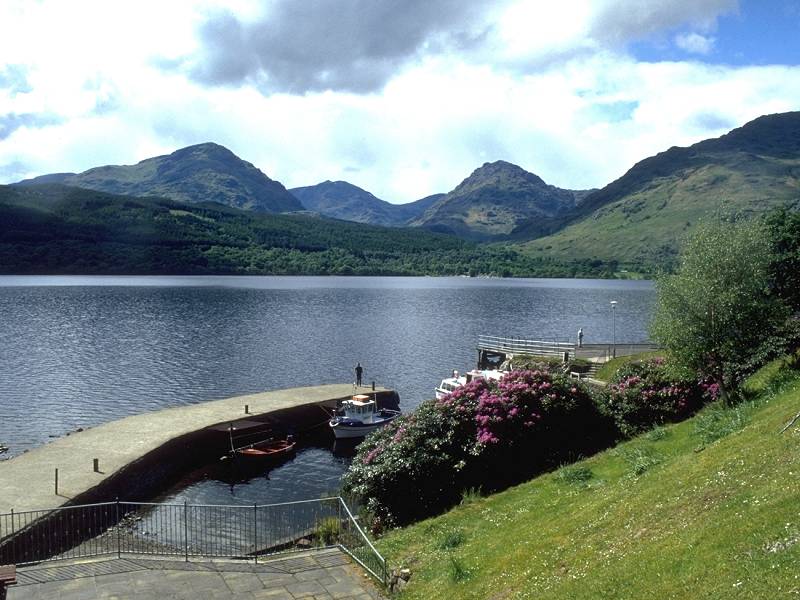
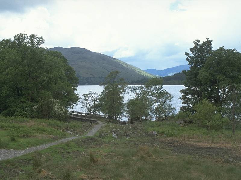
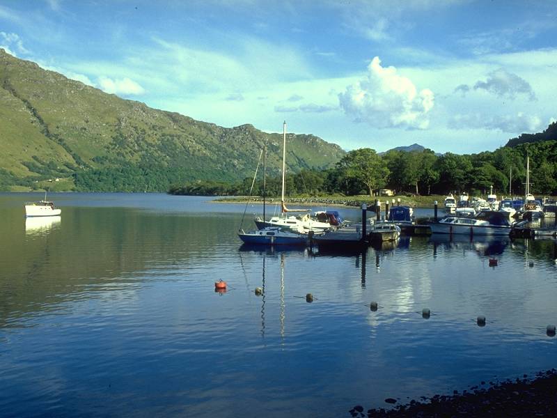
A passenger ferry crosses the loch to Inveruglas on the west bank, providing an opportunity to break the journey here. The hotel provides meals and beds, of course. There is no public transport back along the B829 to Callander.
![]() Citylink
bus times from Inveruglas: Glasgow-Ft
William (.pdf documents. Inveruglas is between Tarbet and Ardlui).
Citylink
bus times from Inveruglas: Glasgow-Ft
William (.pdf documents. Inveruglas is between Tarbet and Ardlui).
WHW north of Inversnaid
Inversnaid's formal gardens do not last long and, having skirted the front of the hotel and passed the ferry landing stage, a short cinder drive leads back into the woods and the start of the roughest section of the West Highland Way.
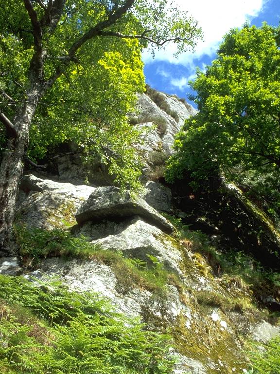
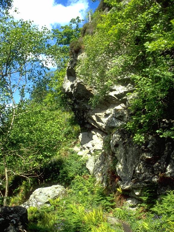
The two kilometers of path north of Inversnaid feature the main scenic highlight of the day's walk, the exhilarating (though slightly tricky) clamber around the massive jumble of rocks that surrounds the so-called Rob Roy's Cave.
Rob Roy McGregor was an eighteenth-century Scottish folk-hero (or cattle rustler, depending on which version of history you believe). I don't propose to go into any detail of his life and times here, there's plenty of stuff available by proper historians if you want to seek it out. Part of the legend, however, holds that in his outlaw days he sought refuge in a natural cave in these parts. About a kilometre north of Inversnaid is a massive boulder field, a chaos of rocks whose average size is about the same as a family car. The Way clambers up, over and around this boulder field, and access to its central reaches is possible only from the northern end.
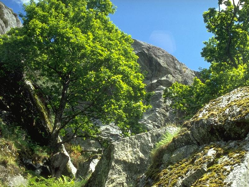
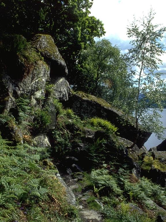
Climbing the south side of the boulder field
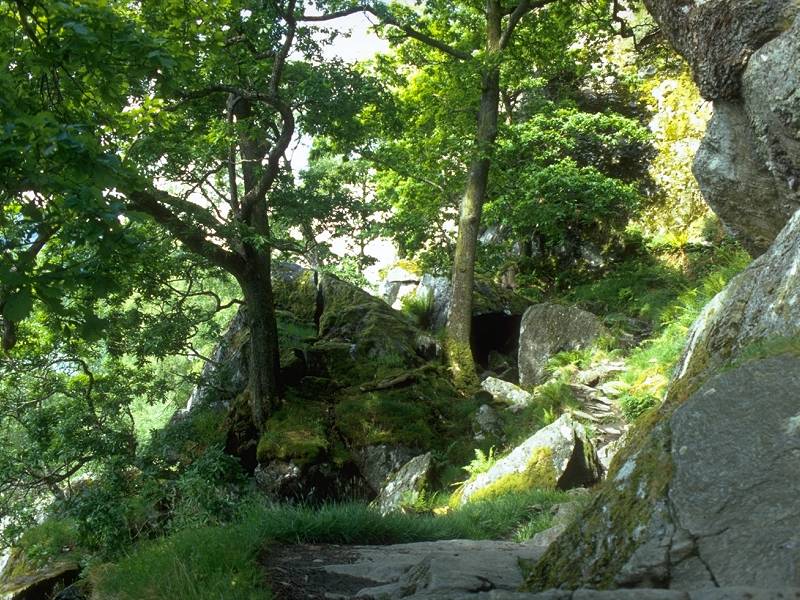
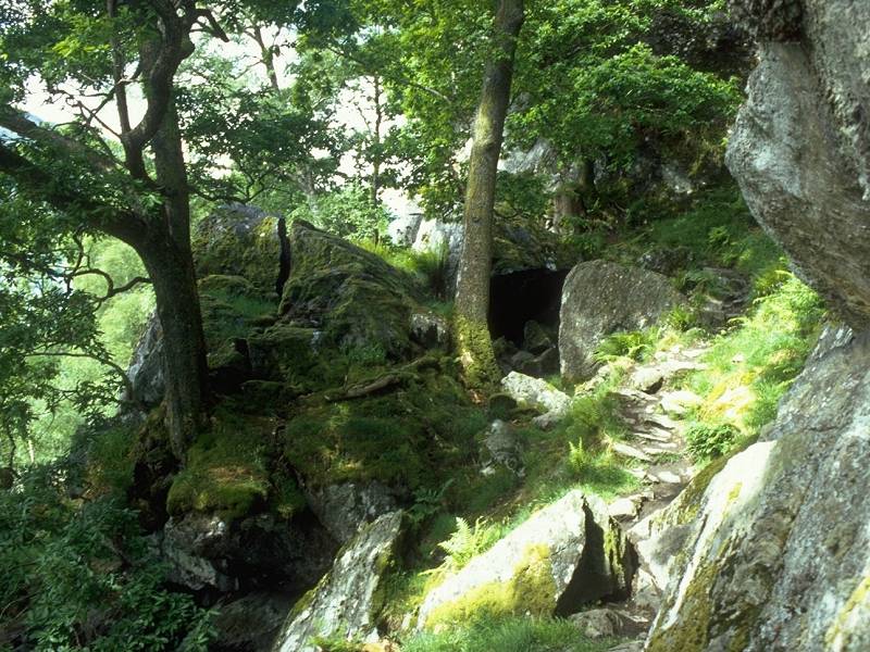
The West Highland Way negotiating the boulder field above the cave
I have to admit that, though the scenery here is exhilarating, the route to the cave is challenging and is quite a tricky scramble. You may decide, as I did, that actually accessing the cave simply isn't worth the very real risk of a broken ankle or two. Despite spending some twenty minutes here - most of which was spent making absolutely sure that I could find my way back among the rocks without mishap - I caught sight only of a massive thousand-point sign in white paint saying "CAVE", which is obviously designed to pinpoint the locality for boat trippers out in the loch.
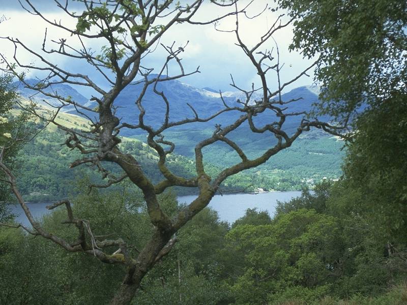
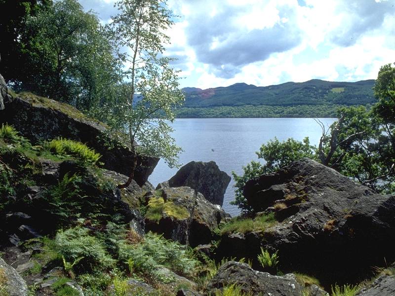
Inveruglas seen across Loch Lomond
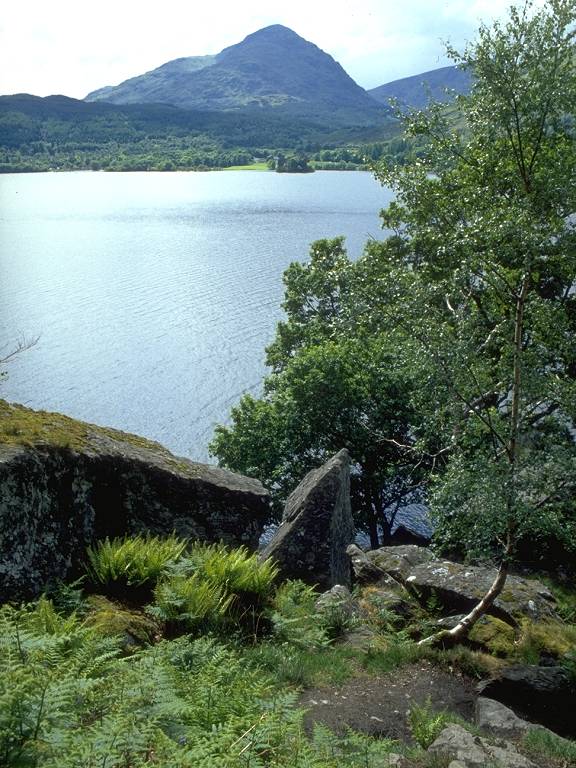
Beinn Narnain seen across Loch Lomond; Rob Roy's Cave is in there somewhere
The boulder field surrounding Rob Roy's Cave
Leaving Rob Roy's Cave to the north
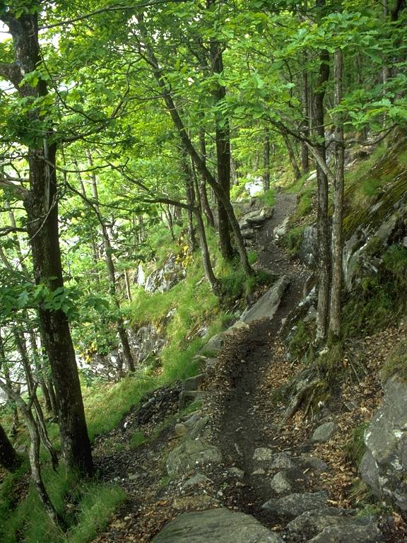
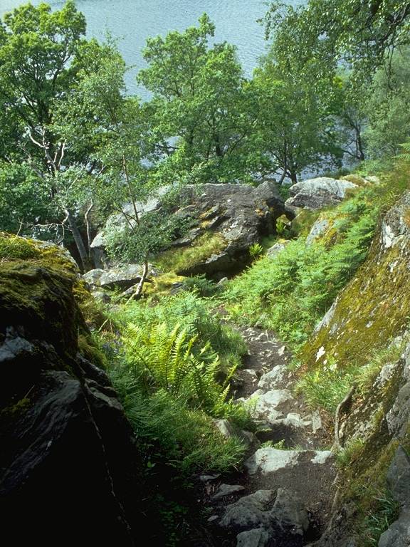
It's something of a wrench to leave this scenic wonderland behind, but it's necessary to press on. The next two miles are rough.
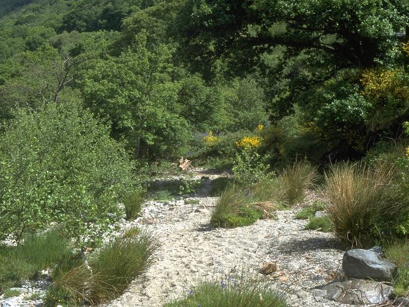
Loch Lomond's north end; one of the rare easy bits of path near Pollochro
Loch Lomond begins to narrow north of Rob Roy's Cave and along the next stretch it is typically only some 800 meters across. The boulder field of the Cave may be behind in practice but it is still present in spirit, for the path continually reaches rocky outcrops. The Way climbs and falls steeply, picks its way over boulders, rubble and tree roots, and drops to the lochside to ford streams. On the day I did this walk in May 2000 I found once again that the sun was deserting me at the difficult bits. The photos here depict the more benign and picturesque stretches. The scrambles and clambers were performed under cloud cover.
I don't recall seeing anything at Pollochro, not even a ruined cottage. The path continues through the woods, crossing numerous streams either by fords or by footbridges. One such stream, which is just opposite the tiny wooded islet of Island I Vow, marks the boundary between Stirlingshire and Argyllshire.
The terrain relents for a short time but the difficulties return. At one point the path is carried over a remarkable wooden viaduct crossing the face of a massive granite waterslide. Heaven only knows how walkers coped before this was constructed - presumably it was necessary either to roll up one's trouser legs and wade into the loch, or climb up the steep slope and clamber over the top of the rock, fording the stream in the process. Either route would have been precarious in the extreme.
Easy terrain at last - the WHW reaches Creag a Mhadaidh
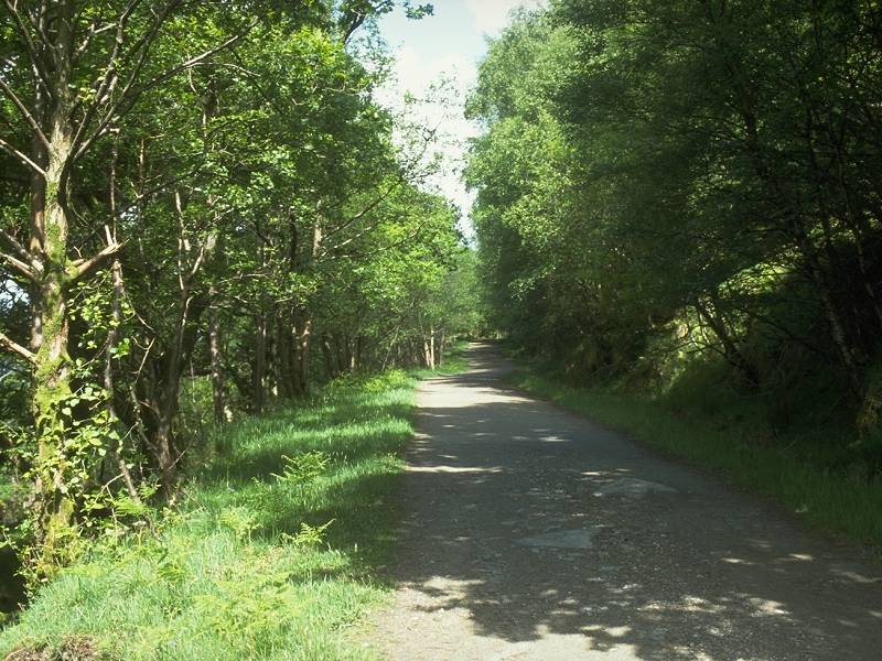
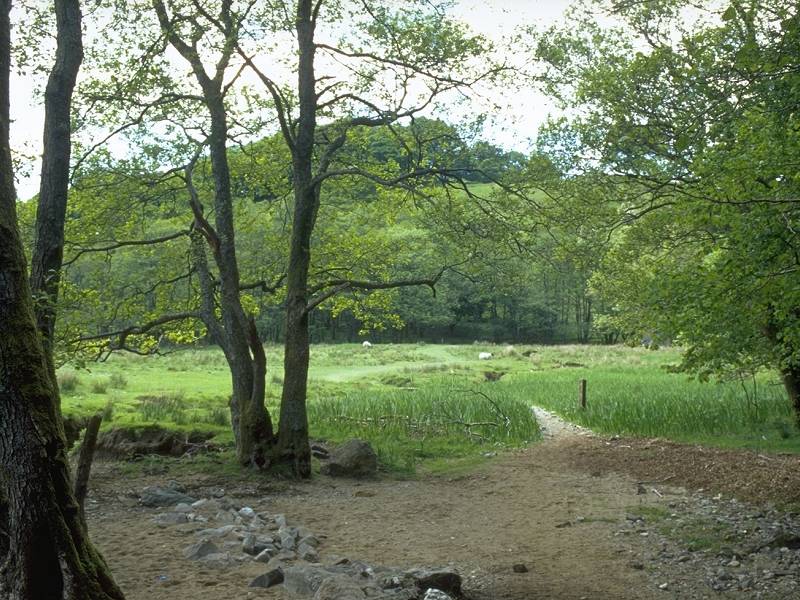
Eight hundred meters north of the Argyllshire boundary, although it seems like much more, the difficulties cease at last. You come out into a brief clearing just short of the little hillock of Creag a Mhadaidh (which is pronounced something like "vatty"). The hillock crowds the lochside; the path bypasses it to the east and so you find yourself cut off from the loch. It's a simple, blissfully easy trek through an area of open, deciduous woodland.

As you descend from the col north of Creag a Mhadaidh, a task much easier than typing the name four times in as many minutes, the loch reappears in the view ahead - and suddenly there's a cottage, and the hum of a generator, and livestock milling about. This is Doune, an isolated but inhabited cottage. There is no vehicle access to Doune, which can be reached only by footpath and is presumably supplied by boat from Ardlui across the loch.
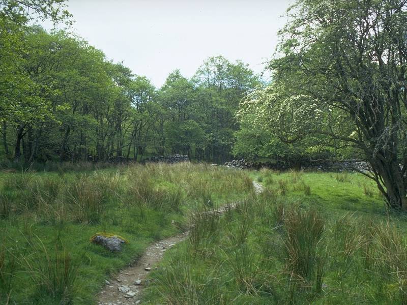
Walk through the meagre farmyard and continue along the path, which now traverses flat pastures near the water's edge. A little wooded bay sweeps away to your left just up ahead. Although the map shows the ferry route terminating at the crook of this bay it is incorrect - you need to follow the path northwards for a further 250 meters, past the back of a plantation and into a fenced pasture on the far side.
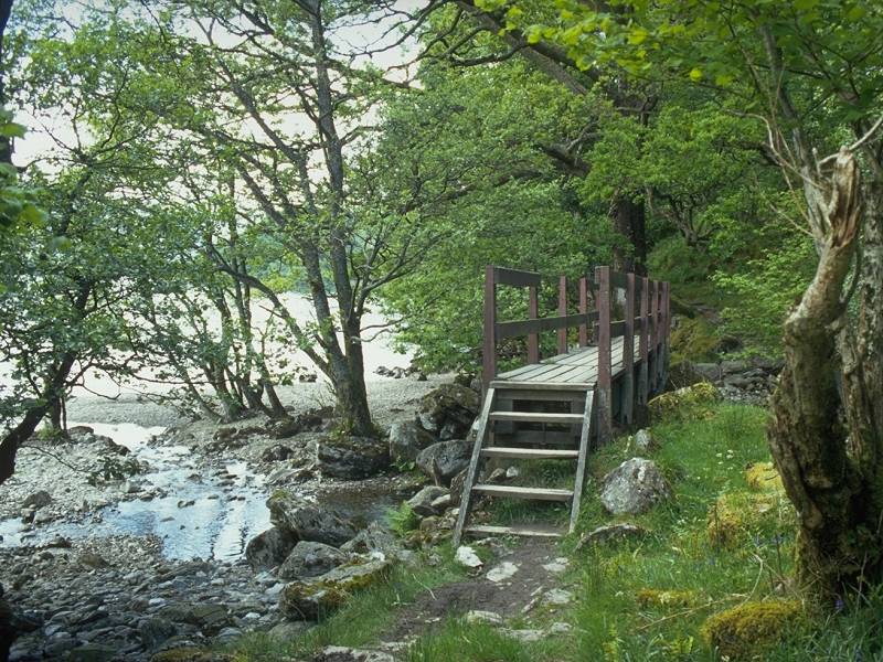
Welcome to Ardleish (actually a ruined cottage another two hundred yards to the north, and screened by trees from here). Leave the West Highland Way here and turn left, walking down the field towards the lochside. About 80 meters back from the waters edge is a mast, To summon the ferry untie the rope and hoist the red ball to the top. Remember to lower it again once the ferry approaches.
Loch Lomond from Ardlui
The loch has widened again just here and the ferry crossing to Ardlui is a distance of about 1200 meters. Ardlui is not unlike Inverbeg, but apart from the hotel and caravan park there is also a boatyard, and a shop, and a railway station which gives you a useful alternative to the Citylink coach. Ardlui is the main crossing point on the West Highland railway, where northbound and southbound trains pull in and wait on either side of the platform for the points to be switched and the crews to change over.
![]() Train
times from Ardlui (.pdf document)
Train
times from Ardlui (.pdf document)
![]() Citylink
bus times from Ardlui: Glasgow-Ft
William (.pdf document).
Citylink
bus times from Ardlui: Glasgow-Ft
William (.pdf document).
The hardest part of the West Highland Way
is behind you. In fact there is little more rough terrain at all - the
vast majority of the route from Doune to John O'Groats is on estate
track,
forest ride or motor road.
| Drymen to Rowardennan | Back to West Highland Way index | Adrleish to Tyndrum |
This page last updated 12th June 2006
![]()