
| Milngavie to Drymen | Back to West Highland Way index | Rowardennan to Ardleish |
| Milngavie to Drymen | Back to West Highland Way index | Rowardennan to Ardleish |
|
|
|
| Length: | 14.3 miles / 23.1 km |
| Total ascent: | 2446 ft / 746 m |
| Total descent: | 2610 ft / 796 m |
| Estimated time: | 5 hrs 23 mins |

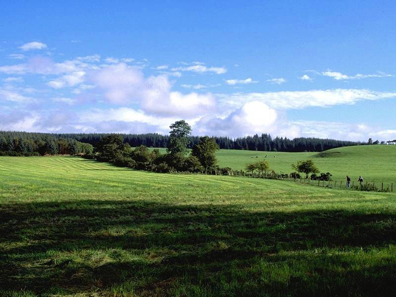
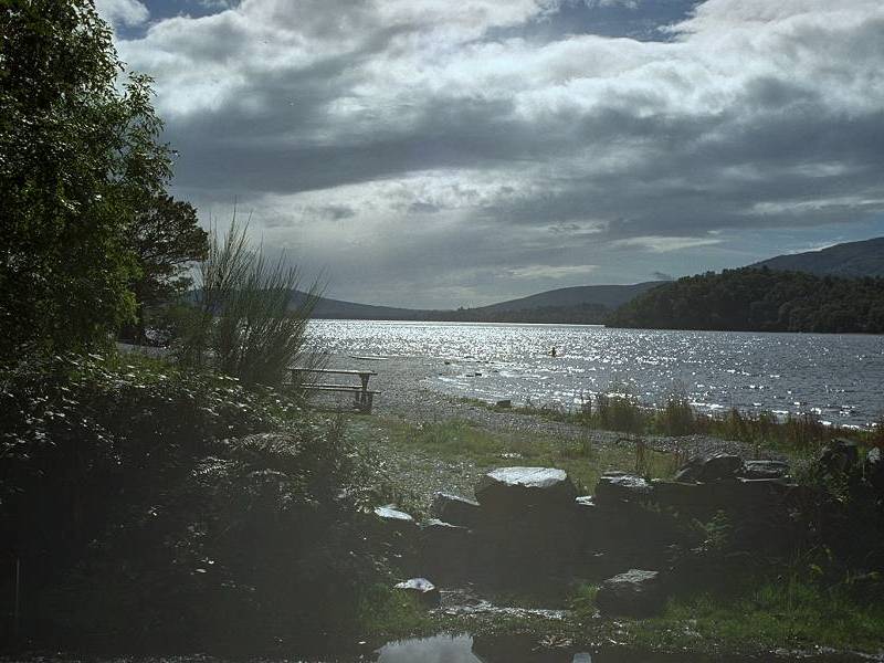
The segregated path east of Drymen; looking northeast towards the forest section


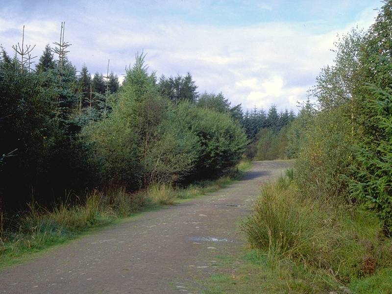
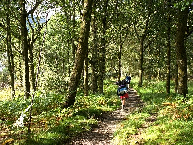
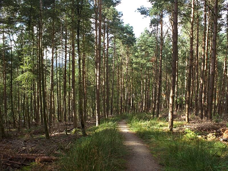
The path enters the forest and turns half left, the route of the WHW now adopting forest rides for the next 2½ miles. The first mile or so, through part of the forest known as High Wood, is relatively light and airy. Beyond a motor road, however, is the more mature section that is Garadhban Forest proper.
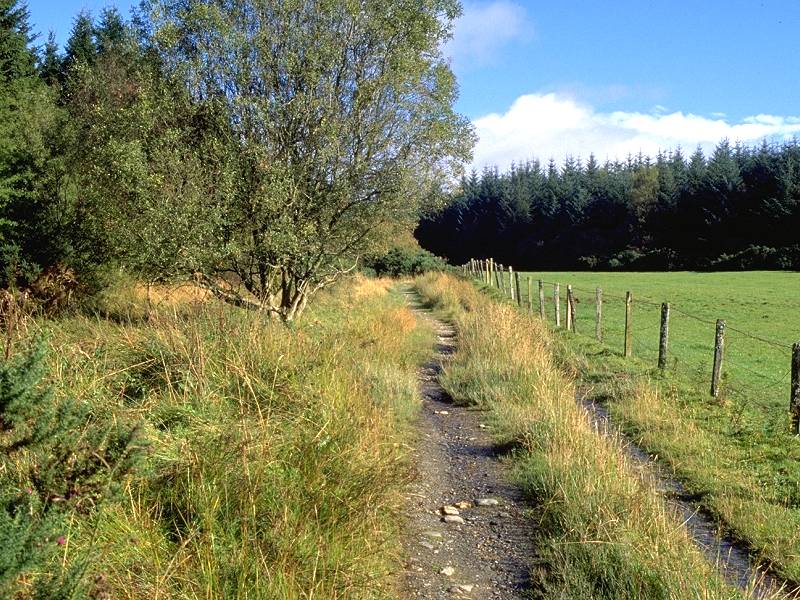


The path enters High Wood; High Wood; Drymen from the motor road crossing
Towards the end of the forest stretch is a path junction. For one month of the year, from roughly mid April to mid May (subject to variation) the official route is closed because of the lambing season and one is obliged to follow a diversion via Milton of Buchanan. For the rest of the year the route lies over Conic Hill. Turn right at the path junction, passing a few minutes later a discreet sign to a forest clearing where overnight camping is permitted. I have to say that this spot is unlovely, cramped, gloomy, rough and wet; a superior pitch might be had a few hundred yards further ahead at the edge of the forest.


You are now in the vicinity of the Highland Boundary Fault. To your left are the plains of central Scotland; to your right are the Highlands, the loneliest and loveliest mountains in Britain, an empty world of brooding moors, dark forests, shimmering lochs and melancholic weather. (Sorry, I seem to have caught poetry. Afraid it's pretty endemic in these parts).

Beyond Burn of Mar the path climbs fairly quickly along the northern flank of Conic Hill.


Moorland section from Conic Hill; Loch Lomond comes into view; approaching the summit


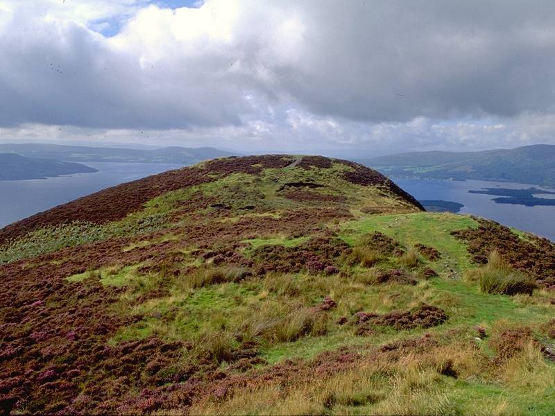
The path north of Conic Hill; The Lanarkshire plains; the southwest top of Conic Hill from the middle top
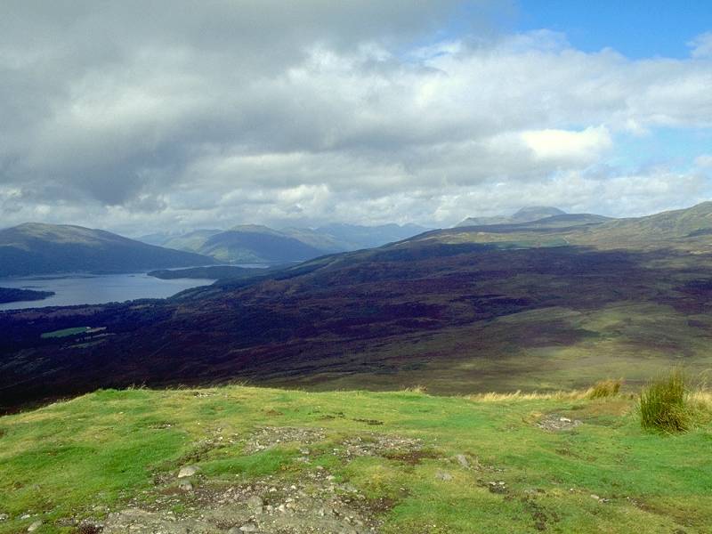
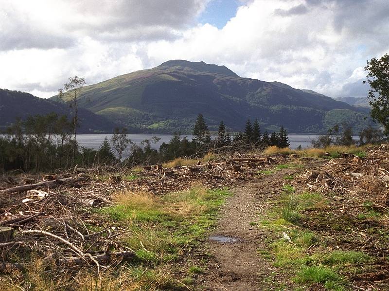
The view across the central plains of Scotland is also very rewarding. The Kilsyth hills and Campsie Fells, notably Drumgoyne, are seen from the rear, and to the right of these is the Clyde estuary. To the north, Ben Lomond stands out around ten miles away, while the high mountains around Glen Falloch are seen further north. You'll be there in two days' time.
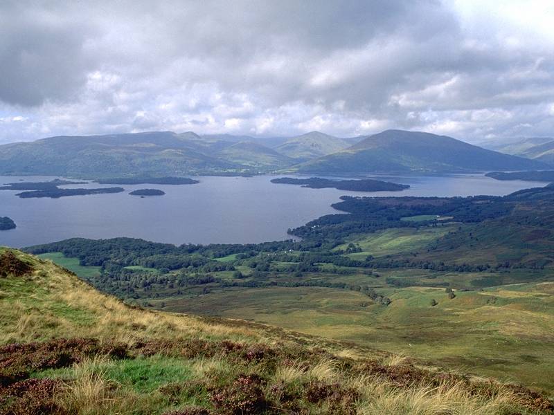

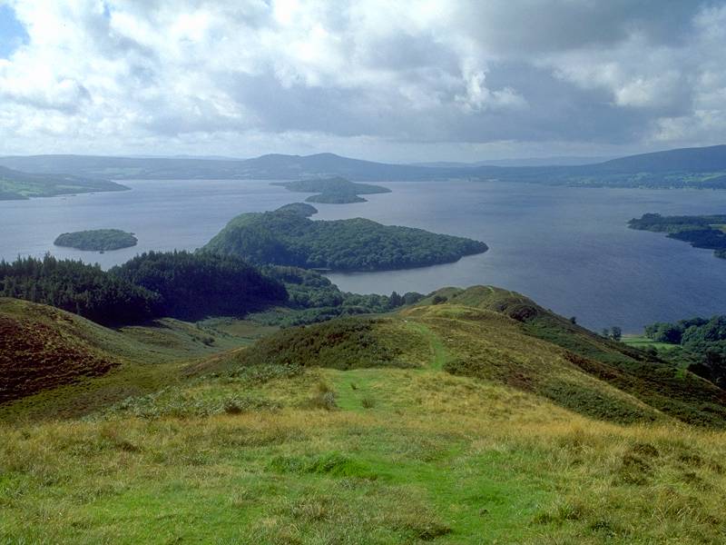
Loch Lomond from the southwest top; the middle and northeast tops
The Way skirts the central and southwest tops to the north and then doglegs between the latter top and an outlier, Tom nan Oisgean, via a craggy little col named Bealach Aird.


Ben Lomond from the path skirting the tops; The path rounds the SW top; Loch Lomond and the isles


The path down to Bealach Aird; Loch Lomond from the bealach


Bealach Aird; Conic Hill from the bealach


View north from Bealach Aird; across the loch; the path descending from the bealach
The path now doglegs around the bealach and descends through forest to the south of Tom nan Oisgean. The true path is not easy to find as several side trails appear, only to peter out. The views of forest, lake and sky are breathtaking. The path drops through what appears to be a small belt of natural woodland before entering the Balmaha Plantation


The descent to Balmaha Plantation


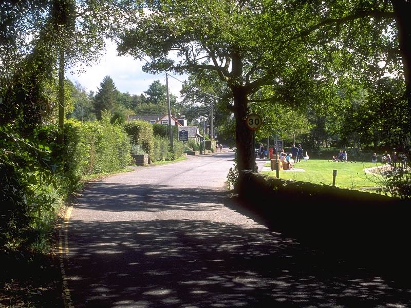
The path drops fairly steeply from the bealach, rounding the southern aspect of Tom nan Oisgean, to reach the forest road network. Keep to the roads as far as the Balmaha visitor centre, which appears to the left across a vast car park. The Way adopts a path trough the last few yards of the forest, skirting the car park to the north, to come out onto the main road at the lakeside. You have arrived at Balmaha village. The diversion via Milton of Buchanan merges with the official route here.


The forest roads through Balmaha Plantation

The path skirting the grounds of the visitor centre


Arrival at the lakeside; Balmaha village; the road to Rowardennan


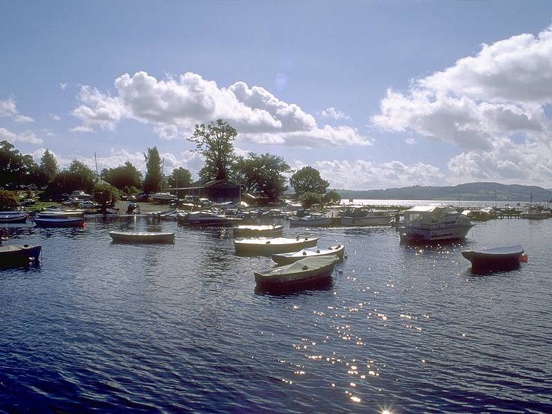
Views of the jetties and marina at Balmaha
From Balmaha the Way strikes north for a short distance along the Rowardennan road before turning left along the short motor road alongside the headland of Craigie Fort. The route ascends the wooded hillock at the centre of the headland. There are any number of side paths on the hilltop and it matters little which one you take - it will almost certainly yield a superb viewpoint and a quiet spot where you can sit and have lunch.


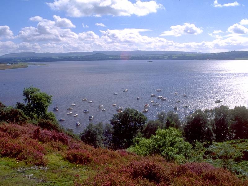
The Craigie Fort road; the marina from Craigie Fort; Inchailloch island


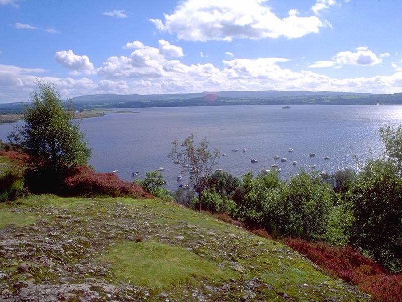
Views across Loch Lomond from Craigie Fort


The West Highland Way alongside Arrochy Bay

The first woodland section by Creag Mhor


Arrochybeag bay
Beyond Millarochy the path turns left to meander through the woods bestriding the sizeable hillock of Cnoc Buidhe. At the time of writing most of this area had just been felled and was not a pretty sight. Hopefully, in a few year's time, it will regenerate and look just as lovely as the rest of the walk. The route reaches the road again at Cashell Farm.


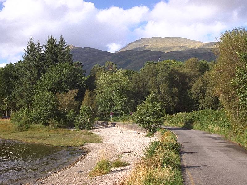
A receding storm seen from the Sallochy road; a view across the loch to Luss; Beinn Bhreac and Ben Lomond


The Rowardennan Forest section is about two miles in length. The path twists and turns somewhat, occasionally tacking away from the lake to climb the odd outcrop, otherwise hugging the loch shore itself to give some truly beautiful views. It's worth lingering over this section. Eventually you emerge at Sallochy Bay, where Glasgow University has a field centre and boat house.


Loch Lomond; Rowardennan forest; approaching Sallochy Bay


The Way at Sallochy Bay; Sallochy Bay


Ross Wood; the path through Ross Wood; Ben Lomond
The path drops almost to the lochside once more, where there are excellent views across to Beinn Bhreac (the speckled mountain) north of Glen Luss on the west side of the loch. (There is another Bheinn Bhreac, not seen, a few miles northeast of here). The path approaches Mill of Ross.


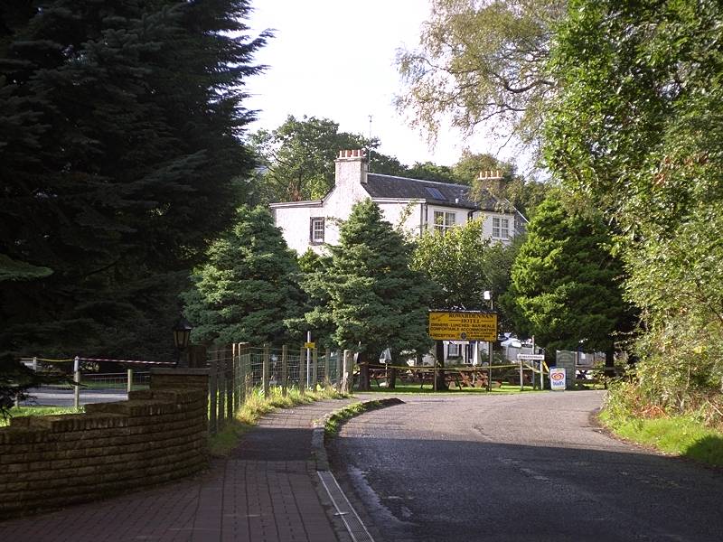
The last wood before Rowardennan; Rowardennan chalet park; The Rowardennan Hotel
The day's journey ends here. You have a choice of staying at the hotel itself, or at the youth hostel a few hundred yards further north. Otherwise, if you've timed your arrival well, you can catch one of the day's three ferry crossings over to Inverbeg, where you can have a drink and a meal while waiting for the Citylink coach back to your night's lodgings.


Ben Lomond from the hotel; the ferry pier; Ben Lomond from the youth hostel road


Ben Lomond from the ferry pier; looking north to the Glen Falloch hills


Loch Lomond at the pier side; the Rowardennan Hotel from the ferry pier
| Passenger Ferry, Rowardennan to Inverbeg
Daily, Easter to end Sept: departs Rowardennan 1000, 1400, 1730 (journey time 10 mins) Group crossings at other times by arrangement with Rowardennan Hotel |
![]() Citylink
bus times: Glasgow-Ft
William, Glasgow-Oban,
Glasgow-Campbelltown
(.pdf documents. Inverbeg is between Luss and Tarbet).
Citylink
bus times: Glasgow-Ft
William, Glasgow-Oban,
Glasgow-Campbelltown
(.pdf documents. Inverbeg is between Luss and Tarbet).
| Milngavie to Drymen | Back to West Highland Way index | Rowardennan to Ardleish |
This page last updated 12th June 2006
![]()