

| Standege to Blackstone Edge | Back to Pennine Way index | Hebden Bridge to Ponden |


| Standege to Blackstone Edge | Back to Pennine Way index | Hebden Bridge to Ponden |
The principal reason is that around half the distance makes use of water supply tracks. The Way here passes three reservoirs, built in the nineteenth century by the corporation of Oldham and now in the ownership of North West Water. The company's gravel track is pretty level and completely straightforward, and allows brisk, untroubled walking. The views down towards Greater Manchester to the left are an added bonus.
Beyond the reservoirs is another wild moorland stretch but the path is good, and is accompanied by an artificial watercourse (the Warland Drain) for some of its length. The Way crosses the shoulder of Coldwell Hill, now looking down on the Yorkshire town of Todmorden, and making a beeline for the stone tower of Stoodley Pike. This obelisk, some 120ft high, was built to commemorate the end of the Napoleonic wars in 1815.
From Stoodley Pike the Pennine Way proper snakes down through a stretch of high farmland and then follows a track through Callis Wood to reach the Calder Valley some three miles west of the town of Hebden Bridge. My route introduces a variant - the only major diversion from the original route, in fact - by following local paths into Hebden Bridge itself. Not only is the town charming, it's also a good transport hub and its railway station is 45 minutes' travel from both Leeds and Manchester.
|
|
|
| Length: | 7.98 miles / 12.8 km |
| Total ascent: | 424 ft / 129 m |
| Total descent: | 1341 ft / 409 m |
| Estimated time: | 2 hrs 31 mins |
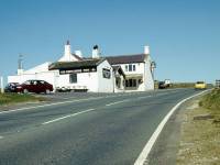
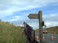
Today's walk begins at the White House, high on the A58 Rochdale to Halifax road and only six hundred yards west of the watershed. The route runs east along the road for a short distance before turning left and passing through an iron gate, to gain the reservoir track running along the western edge of Blackstone Edge Reservoir.
On the other side of the reservoir is the
B6138 road down to Mytholmroyd and Hebden Bridge - bus service 900 that
runs up this road between Hebden Bridge and Ripponden is an excellent
way
of reaching the start point, otherwise use the 528 Rochdale to Halifax
service via Littleborough.
The reservoir road; the White House from the east; the Pennine Way to the north
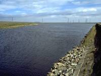
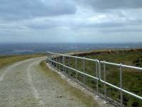
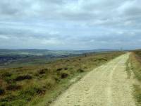
The section alongside Blackstone Edge Reservoir is very short - about 400 meters - after which the Pennine Way loops around a knoll of moorland known as Cow Head before running almost due north. Littleborough and its outlier of Calderbrook lie below to the left; the Chelburn reservoirs are prominent just over a mile away. Oldham and Rochdale, with Manchester beyond, are visible in the distance.
Chelburn Reservoir; Pennine Way north of Cow Head
Distant views of Greater Manchester; the Pennine Way at Low Ridge; Light Hazzles Edge
The reservoir track gives fast and straightforward walking. The Way passes a locality known as Low Ridge then curves to the left again, to round the rock outcrop of Light Hazzles Edge about a mile north of Blackstone Edge reservoir.
Views to Manchester; the Pennine Way at Light Hazzles Edge; rock scenery at the Edge
Beyond Light Hazzles Edge the Way is crossed by a National Grid power line, immediately after which the southwestern corner of Light Hazzles reservoir is reached.
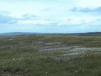
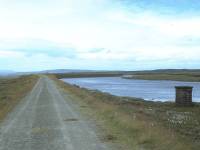
Hazzles Moor; Light Hazzles reservoir
Light Hazzles reservoir; the Pennine Way at Light Hazzles; Light Hazzles Reservoir
The track runs for about a kilometre along the western shore of Light Hazzles reservoir, with extensive views southwest into Greater Manchester and northwest towards Todmorden. Great Hill, across which the Yorkshire - Greater Manchester boundary runs, is due east. The reservoir curves away to the right, carrying a side trail with it; the main track, and the route of the Pennine Way, forks left to reach the southwest tip of Warland reservoir.
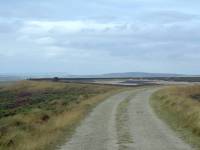
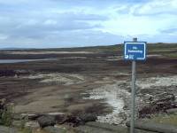
The pennine Way at Warland Reservoir; North West Water being surreal
The Pennine Way hugging the retaining wall of Warland reservoir
Warland Reservoir is rather larger than its two companions and the Pennine Way hugs its western edge for over a mile. When I first walked this section in 1988 there was thick mist and I couldn't see much. I walked it a second time in 1996, on the same day the IRA wiped out the centre of Manchester, only to find that there was very little water left in any of the reservoirs. In 1999 Warland Reservoir was still extremely low. A North West Water sign at the edge of the lake forbids swimming; it stands at the head of hundreds of acres of black mud. A water board official somewhere is taking the piss, I think.
The Way hugs the side of the reservoir immediately alongside its retaining wall, constructed of gritstone blocks. At the first bend in the track the Way crosses the main watershed, and the county boundary between West Yorkshire and Greater Manchester (formerly Lancashire). You leave Rochdale borough here and enter Calderdale borough. The river in the valley down to your left is the Calder, and is flowing north; a few yards back was the Roch, flowing south.
The Pennine Way at Warland Reservoir; the northern end of the reservoir track
About 3 miles north of the start point, and just beyond the northern tip of Warland Reservoir, the reservoir road ends in a confusion of turning circles, sluice gates, culverts and water channels. The obelisk of Stoodley Pike, a further 2½ miles ahead, comes into view; there is nothing in between except moorland.
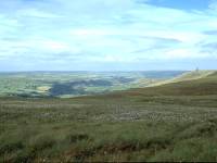
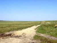
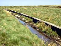
The upper Calder valley; the Pennine Way at Langfield Common; the Warland Drain
The Pennine Way now becomes a simple moorland path. The surface is good these days but was quite sloppy only a few years ago. The route runs north for 300 meters then swings suddenly east, running alongside an artificial water channel known as Warland Drain. The purpose of the Drain is to catch run-off water from the moor above and channel it sideways into the reservoir. Thus, rainwater falling here, on the Yorkshire side of the watershed, is diverted onto the Lancashire side and ends up in Manchester.
Drain and path curve gradually to the left until suddenly, at grid reference 965220, the Drain takes a sudden turn southeastwards and the Way turns north to cross Langfield Common.
The Pennine Way on Langfield Common, accompanying the Warland Drain
Expanses of cotton grass on Langfield Common; The Way on Langfield Common; view northwest towards Todmorden
Direction marker where the Way leaves the Warland Drain; the path across the common
The path has been somewhat improved here during the last few years; it was somewhat sketchy but parts of it are now flagged. This does prevent you sinking into patches of bog two feet deep, but it rather spoils the "wilderness" effect of the moor.
Flagged path at Langfield Common; Withins Clough reservoir to the northeast; the shoulder of Coldwell Hill
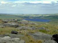
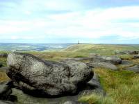
Withens Clough reservoir; Stoodley Pike seen from Coldwell Hill
It's a fair bet that not one in fifty Pennine Wayfarers leaves the track to ascend the summit of Coldwell Hill, only about 200 yards off-route. It's a worthwhile little expedition, requiring the minimum of effort. From here there is an excellent view down towards the northern end of Todmorden to the west, and into the bowl of Withens Clough reservoir, a mile away to the east. Stoodley Pike becomes even more prominent, a mile and a half away to the northeast.
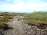
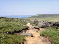
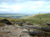
Three views of the Pennine Way approaching Withens Gate and Stoodley Pike
Bald Scout is the name of the slope descending northeastwards off Coldwell Hill. The path becomes better defined and firmer here and there is no need for flagstones to provide a firm surface. They are encountered here and there, however, to prevent erosion of the slope. The path now descends quite steeply for a short time to reach the col of Withens Gate.
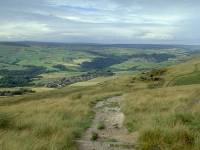
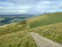
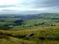
Mankinholes; the Pennine Way at Withins Gate; the upper Calder Valley
Withins Gate (alternative spelling, Withens Gate) is not a gate at all, but a path crossroads. Here, the Pennine Way crosses the equally busy Calderdale Way. Pennine Wayfarers bound for Mankinholes Youth Hostel should turn left here and descend the stone steps towards Todmorden. You will, of course, have to climb back up here tomorrow morning only to descend to the Calder valley again almost immediately. Personally I don't recommend Mankinholes for precisely this reason.
The path crossroads at Withins Gate; the Way approaching Stoodley Pike
From Withins Gate the Way ascends a steep little pitch to gain the ridge of Higher Moor.
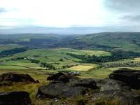
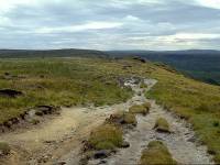
View left to Todmorden; retrospect of the Pennine Way southwards
Across Higher Moor the Pennine Way runs pretty much dead level for almost a mile. The ridge is featureless save for the approaching obelisk of Stoodley Pike and there is no sense of perspective. You have little sense of how big Stoodley Pike is because you can't judge its distance; equally, you have no concept of how far away it is because you can't judge its size. It will take you fifteen minutes to reach it, no matter how close it looks. Enjoy the views down into the upper Calder Valley to the left.
The Pennine Way on Higher Moor; Stoodley Pike; Looking back to Withins Gate
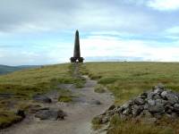
You finally arrive at the stone obelisk of Stoodley Pike.
It's a classic folly, the sort of thing rich landowners used to have built to satisfy their egos. This particular one was constructed in 1814 to celebrate the victory over Napoleon. It stands an impressive 120 ft high, on a shoulder of moorland overlooking both Todmorden and Hebden Bridge that is itself over 1200 ft above sea level. The Pike has a viewing platform about a fifth of the way up; it can be reached by means of an internal staircase that is entirely unlit. There is a section in the middle which is in total darkness; fortunately this unlit section comprises only four steps.
The Pike has collapsed and been rebuilt twice during its 190-year existence.
Three views from the platform:
Eastwards
towards Hebden Bridge; Southwards
across Higher Moor; Northwestwards
towards Todmorden
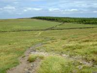
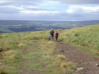
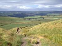
The Pennine Way descending to Higham; Higham; descending to the quarry
From Stoodley Pike the Pennine Way runs initially eastwards, towards the Sunderland Plantation and passing a spring. Just after crossing a drystone wall the Way turns left onto another track, at a locality named Higham on the map, and descends quite steeply to the left of a disused quarry. About 500 meters from the turning the Way reaches another path junction at a wall corner.
The Pennine Way below Higham quarry; the path junction; a retrospective view of Stoodley Pike
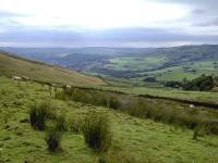
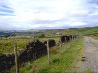
This is the point at which the Pennine Way follows a short path northwest before swinging right, around the knoll of End Edge Moor, before falling through Callis Wood to reach the Calder Valley two miles west of Hebden Bridge at Charlestown.
My preferred route, however, diverges from the Pennine Way at this point to visit Hebden Bridge itself. A glance at the map shows that there is a maze of public rights of way hereabouts and there is almost limitless scope for picking your own route. My approach to Hebden Bridge involves ignoring the left turn onto the Pennine Way and adopting the vehicle track of Kilnshaw Lane for the next 1½ miles.
Kilnshaw Farm; Looking back to Stoodley Pike; approaching Erringden
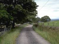
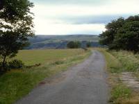
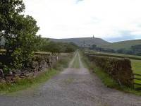
Erringden Grange; Kilnshaw lane at Erringden; The end of the motor road from Calderside
The walk along Kilnshaw Lane is straightforward, passing a couple of farms. From here you begin to get an idea of the Calder Valley's complex topography. For one thing, having descended from the heights of the Pennine Moors, you realize that you are actually still quite a way above the valley and are in fact traversing a middle-altitude shelf of pastureland. On the edge of the moors to the north of the Calder valley you will see the many scattered, open settlements such as Heptonstall (the birthplace of the Methodist church) that characterise the area. It also becomes apparent that the Calder valley has many offshoots and sub-offshoots - so many, in fact, that you can never really be sure exactly what you are looking at. The Colden and Hebden Vale valleys both diverge from the Calder at Hebden Bridge; Hebden Vale further subdivides just over a mile to the north.
The road to Calderside; field paths to Hebden Bridge; approaching Fairfield Wood
After passing Erringden Grange the track comes out at the head of a surfaced motor road coming up from Calderside. Ignore the path leading straight on - it leads towards Hebden Bridge but the route is far from straightforward. Turn left onto the road and follow it for three hundred yards, to another junction of farm tracks. Turn right here, and follow a field-side path down a steepening slope past Hebden Bridge's TV relay mast and down to the edge of Fairfield Wood.
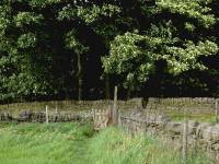
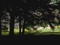
The path entering Fairfield Wood; emerging from the wood above Hebden Bridge
The route is still surprisingly tricky here as the path through the wood is not obvious. Keep straight on, beside a wall. Soon after the route emerges from the trees at the north end of the wood, an obvious path slants down to the right. At a gate it forms a junction with a second path, slanting down to the left, which you follow.
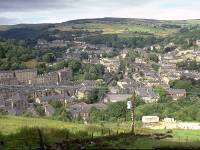
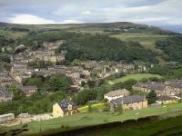
Hebden Bridge seen from the edge of Fairfield Wood
The initial path from the wood slanting down to the right; the footpath down to the river
The path network described above descends from the pastures below Fairfield Wood and runs behind a row of houses, then turns between them to deposit you onto an ordinary suburban road. Turn out of this road into a main road and follow it west for a few yards. Turn hard right to gain a footpath down a flight of steps; this turns left again to run down a longer flight of steps and comes alongside the canal.
The canal at Hebden Bridge; entering the park; Hebden Bridge park
Walk along the canal to the east for a short distance until you find the footbridge over the canal. You can now gain access to Hebden Bridge's rather splendid municipal park and treat yourself to a cold drink or an ice cream. For the railway station continue through the park and take the path to the east, then turn right over the bridge; for the town centre and the bus halts walk north through the park to gain the main road.
Hebden Bridge
Hebden Bridge is a splendid little town, crowded into the steep and tortuous ravines of the Calder Valley and solidly constructed in stone. Like many towns in industrial Yorkshire it was a wool town and the riverside mills are still the dominant architectural feature. Road, railway, river and canal are crowded into a narrow ribbon of industrial activity, yet the town is almost entirely free of the visual squalour this environment usually generates. Hebden Bridge is not just handsome, it is actually rather lovely. It has something of a nonconformist streak in its makeup, being not only the birthplace of the Methodist church but also the headquarters of the Liberal party's local government organization. Its steep, cobbled streets, the richly coloured stone of its buildings, its marina and waterside vistas, all contribute to its visual appeal. It's also very handy - midway between Leeds and Manchester on the rail network and 45 minutes' travel from each, it's within a few hours' travel of the majority of Britain's population.
| Standege to Blackstone Edge | Back to Pennine Way index | Hebden Bridge to Ponden |
This page last updated 17th February 2006
