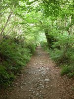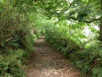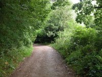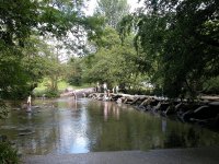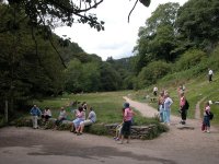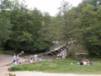


The Walk
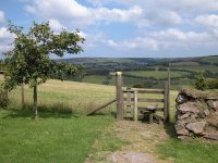
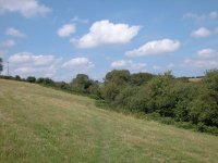
Today we leave the pastoral country
of north Devon to enter Exmoor National Park, and also cross the county
boundary into Somerset. The change is actually quite subtle.
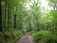
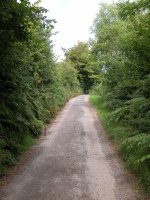
The theme of the last few days -
farming country, woodland, lanes, footpaths and tiny villages - is
still evident, but now the villages and farms become a little
fewer and further between, while upland heath, rough pastures and stone
walls start to join the mix.
Exmoor is thus very different to Dartmoor, which was a
essentially a vast area of heath and moor on which it was possible to
roam pretty much at will. Here you are constrained to rights of way but
that is no disadvantage because Exmoor's scenery is much more varied.
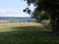
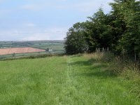
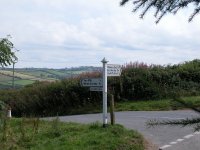
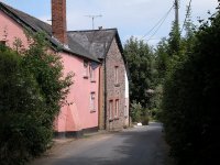
The morning of today's walk has the rolling North Devon
countryside on the menu once again as we amble through Yeo Mill
and West Anstey, then we meet our first taste of wild heath as we cross
the National Park boundary at Badlake Moor Cross. We cross into
Somerset just south of Hawkridge and negotiate another stretch of hilly
farm country to reach Tarr Steps. The delightful River Barle section
follows as we hug the bank of the river through woods and pastures for
the four miles to Withypool. Finally we cross another section of upland
pasture to reach Exford, a horse riding centre and arguably the
"capital" of Exmoor itself.
|
Walk Statistics:
|
| Length: |
13.5 miles / 21.7
km |
| Total ascent: |
2316 ft / 706 m |
| Total descent: |
2259 ft / 689 m |
| Estimated time: |
5 hrs 4 mins |
Map: OS 1:25000
Outdoor Leisure 9 (Exmoor)
Click on
any thumbnail image in this gallery to display the corresponding full
size
image. The images are access protected through a cgi script to prevent
hotlinking. If you encounter problems while trying to view the full
size
images, please read the access advice
page.
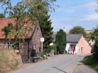
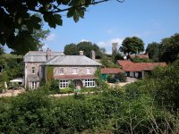
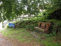
Jubilee Inn
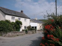
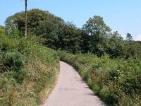
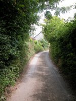
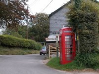
Yeo Mill
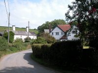
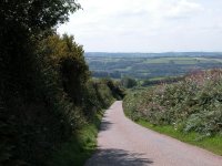
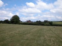
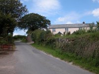
West Anstey
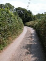
Exmoor
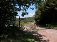
Badlake Moor Cross
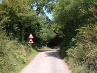
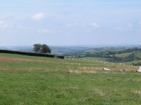
At Badlake Moor Cross you reach the boundary of
Exmoor National Park. Ahead of you is a rough track following the edge
of Woodland Common, a patch of unimproved heath typical of Exmoor
itself. The track diverges almost immediately but it doesn't matter
which track you follow, they join up again before you reach the next
road crossing.
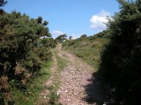
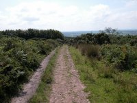
Woodland Common
The vegetation on the heath is typical - a mix of
heather, gorse and bracken. Follow the track, almost due north, to the
next road crossing. The road is known as Ridge Road and, as the name
implies, it pretty much follows a ridge top. Continue along the track
directly ahead, across the road.


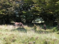
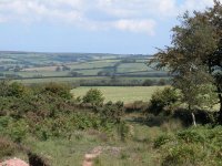
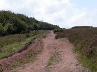
Ridge Road and Anstey Money Common
Anstey Money Common lays on the north side of Ridge
Road. To your left is another patch of wild heathland although to the
right, through the hedge, you can see a well tended grassy pasture. The
difference is stark and it is an excellent illustration of how mankind
has formed the landscape.
Anstey Money Common
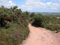
The walking here is excellent - heathland always
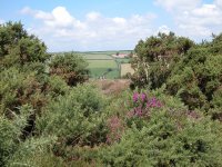
provides first class walking country in my experience. Once you top the
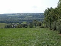
slight rise at an elevation of around 350 metres a glorious view opens
out ahead. You're looking at Hawkridge and the hills fringing the
valley of the river Tarr.

First view of Hawkridge
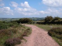
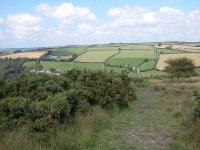
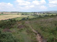
The route of the Two Moors Way over Anstey Money
Common
The route has been following the enclosure boundary
of the common but, some 750 metres north of Ridge Road, look out for a
bifurcation with a path heading off half left. It's easy to miss at
first. The path is much narrower and rougher than the track you've just
left but it provides some interesting walking as it threads its way
across the heath, winding gradulayy down the slope. It curves around to
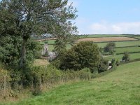
the right - more so, in fact, than the map might suggest. As you
proceed you are rewarded by the views of Hawkridge and its surrounding
fields, not much over half a mile away.
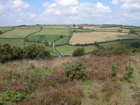

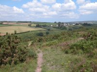
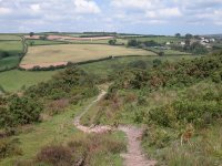
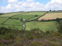
The descent towards Hawkridge
The descent is gradual, and takes more time than you
might think. Proceed carefully because the terrain is uneven. As you
descend the vegetation becomes thicker and, eventually, Hawkridge
disappears behind a screen of shrubs and trees.
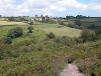
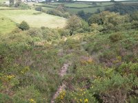
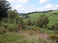


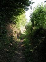
Approaching the edge of the common
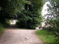
Finally, the path drops down one last steep slope to
arrive at a back lane within a ribbon of woodland. Turn left onto the
road and follow it through the wood for the short distance downhill to
the bridge over Dane's Brook.
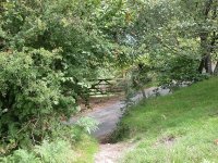
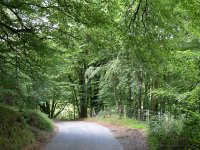

The road to Dane's Brook

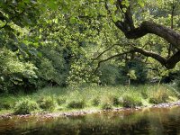

Dane's Brook
Dane's Brook marks the county boundary between Devon
and Somerset, so say goodbye to Devon; we've walked through it for some
90 miles. Although Somerset is a smaller county than Devon the route of
the End-to-End onwards from here traverses its full length and also
makes a couple of large doglegs; we have 160 miles of walking ahead of
us before we reach Gloucestershire on the first day of the Cotswold
Way. But all that is too much to contemplate at the moment. The banks
of Dane's Brook make a very inviting lunch stop.
Hawkridge
Parsonage Farm
Tarr Steps
Barle Valley
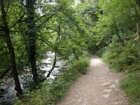

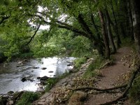


The Barle Valley walk, Knaplock Wood
Now comes what is arguably the highlight of the day's
walk. For the next four miles the Two Moors Way follows the east bank
of the Barle along a series of wide meanders, through a mix of woodland
and pasture. This is a very lovely stretch. It goes without saying that
it is at its best in sunny weather, and unfortunately the sun deserted
me on the afternoon I did the walk in August 2004. It will pay a return
visit some day.
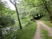
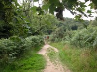
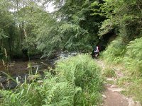
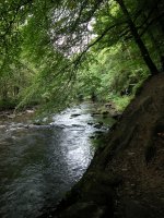
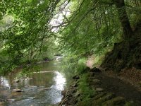
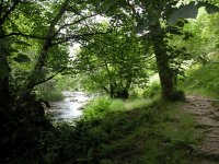
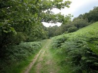
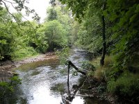
The Barle Valley walk
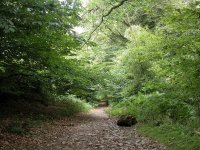
The first part of the walk runs hard by the riverbank
in Knaplock Wood. The route varies between stretches of good track and
rough path, the latter often dodging uphill to avoid sandstone outcrops
and tree routes. A left and then a right curve bring you out into an
area of open pasture, through which both river and path curve to the
left (west) again. There follows a fairly sharp right turn opposite
Westwater Copse, and a footbridge near here marks the strolling limit
for those just visiting Tarr Steps. Beyond the footbridge the
pedestrian traffic thins out significantly.

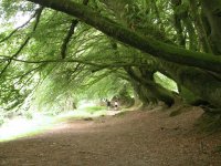
The River Barle walk, Bradley Wood
Our walk continues, through the localities of Worth
Wood and Bradley Wood, hugging the curves and meanders in mixed
woodland and grassland. Then, just north of Bradley Wood, the river
describes a massive double bend; it curves a hundred and eighty degrees
to the left through a distance of roughly half a mile, so that you end
up walking south. Then, it curves back to the right for a full 220
degrees over the succeeding half mile, so that you ultimately find
yoursef facing northeast. During much of this second curve the path
runs along the edge of a pasture, the river being fairly well hidden
behind a screen of trees.
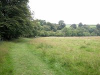
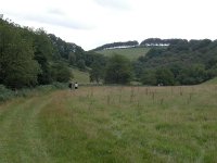
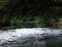
The Barle Valley walk at Oakbeer Wood
At the northern end of this open section there's a
possibility of going astray. The path leaves the riverbank and climbs a
little way up the slope to your right, alongside the edge of Oakbeer
Wood. This excursion away from the river is not shown on the map!
At a fairly obvious point the path turns left across a stile into
the wood and runs down to the riverbank again. You're within dense
woodland as the river makes another tight curve to the left.
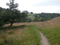
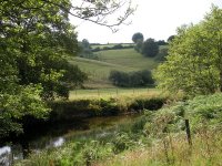
The Barle Valley walk opposite Batsom Farm
Once you're through Oakbeer Wood you're into the last
mile of the Barle Valley walk, in my opinion the finest part. The
scenery hereabouts is soft and varied, with plenty of interest on each
bank. You walk along a series of beautiful river meadows, dotted with
trees, and fringed by woodland to the right. This theme continues for
most of the way to Withypool.
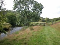

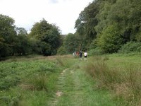 The Barle Valley walk below Bradley Hams
Withypool
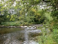
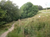
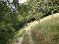
Stepping stones, and Uppington Wood
Once you draw opposite South Hill on the other bank
things change quite suddenly. A row of stepping stones gives access to
a local footpath running out to the far end of Withypool, and of course
this makes them the key part of an excellent circular walk of just
around an hour out from the village. Just past the stepping stones the
path runs into Uppington Wood.

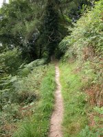

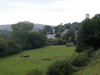
Uppington Wood and views of Withypool
The riverbanks are steep here and the path climbs a
good way up the slope into the wood. It's a bit of an effort but the
scenery is grand, especially the views that open out towards Withypool
itself, now just a couple of hundred metres away. The path eventually
disgorges into the narrow, steep lane that runs down into Withypool
from Comer's Cross.
Withypool itself is lovely and worth a visit of half an hour to an hour
if you have the time. That same minibus route that served Tarr Steps also calls here. Other
bus services come and go year by year; there was a bus out from
Minehead and and Dunster several times a day in 2003, but in 2004 it no
longer ran. Check current timetables at the local TIC (tourist
information centre) before you set out.
The last leg of today's walk is the two and a half miles into Exford.

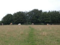
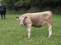
Scenes on the permissive path leaving Withypool
You can leave Withypool along the road back up to
Comer's Cross, but fortunately there is a more elegant alternative. A
permissive path leaves this road, just two hundred metres west of the
point we joined it at the northern end of Uppington Wood. You will need
an up to date Ordnance Survey map to find the couse of the path, which
runs along a series of field boundaries to the north and east of the
village. Initially it's unpleasantly steep, particularly so if you've
just enjoyed a Withypool cream tea. The path runs initually up through
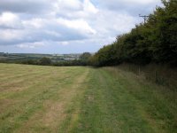
a ribbon of woodland and then along the west side of a hedgerow though
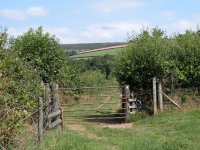
three successive pastures. One field boundary is seen in the first
photo above. At the third field boundary strike out diagonally to the
right (the course of the path is becoming visible in the grass) and
then continue to follow the path along more field boundaries to the
east, north and east again.


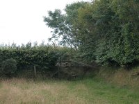
Fieldside paths northeast of Withypool
Eventually the permissive path comes out onto the
lonely upland road from Comer's Cross to Exford. Cross the road. Almost
directly opposite is a gate that gives access to the last series of
bridleways down into Exford, now less than two miles away.
Room Hill and Road Hill
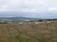
Room Hill
Once through the gate you find yourself
in
a rough, unkempt pasture. The map suggests that you diverge gradually
from
the road. There are odd bits of path but it's easy to go astray; as you
progress you should see a coombe opening up in front of you. Keep this
to your right and you should be OK. The path sorts itself out and you
should
arrive at the path crossroads in the picture below.
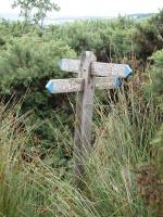
Path crossing, Room Hill
Keep straight on for 200 metres to reach a
"T" junction with a farm track. Turn right here and follow it, around
the
shoulder of Road Hill.

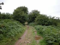
The
Room Hill coombe; Road
Hill track
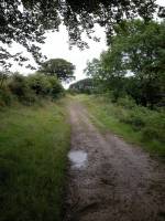
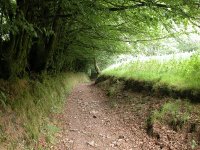
Road Hill track
The track changes character quite
dramatically
in the space of around half a mile. At first it is enclosed between
twin
ribbons of hedgerow, but abruptly you leave the rough pasture behind
and
find yourself walking along the edge of an enclosed grassy field.
Follow
the field edge around a slight curve to the left, at which point it
starts
to run downhill to a clump of woodland.
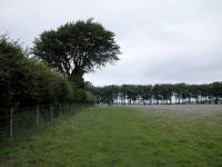

Descending Road Hill
When you reach the wood take a left turn
and
follow the path past Court Copse. Exford comes into view down to your
right.
Initially the path runs over the shoulder of the hill, but soon it
begins
to descend rapidly into a coombe and re-enters tree cover.

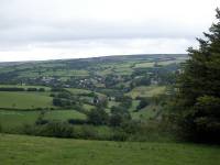

Path
junction; first
view of Exford; above
Court Copse
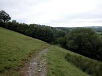
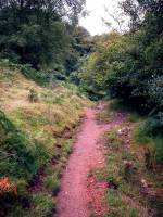
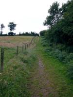
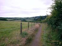
Descending to Exford
At the foot of the coombe the path turns
right
to run between a hedge to the right and a wire fence to the left. After
about 250 metres it swings to the left and goes downhill to run
alongside
the river Exe as far as Court Farm.
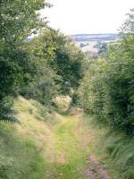
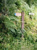
The approach to the River Exe
Exford
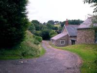
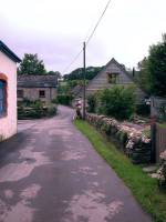
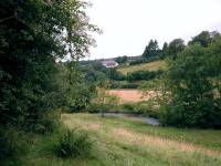
Court Farm and the road alongside the river
At Court Farm there's a choice of routes - you can either cross the
bridge and walk along the riverbank into the village, or use the farm
driveway
to reach the public road at Monks Cross. The road gives access to the
youth
hostel. 350 metres further on from Monks Cross you reach the road
bridge
over the Exe and enter Exford.
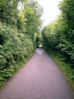
Road from Monks Cross to Exford
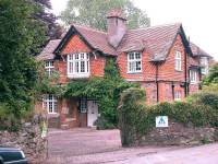

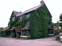
The Youth
Hostel, and scenes in Exford
Now
available on
CD - the high resolution (2560 x 1920 pixel) originals of the 2004
images
on this gallery. 147 images, 249MB of data.
(includes some images not
selected
for the website).
£5.00
inclusive
of postage / packing.
Note:
Payment
by credit card is handled by Pay Pal. If you are not already a member,
their validation of your account can take up to 4 weeks.
|
This page last updated 11th November 2005


