 The route from Witheridge to Yeo Copse
Bradford Moor
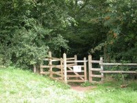
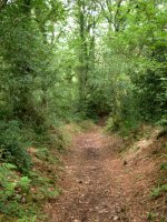
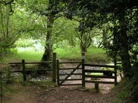
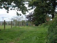
Yeo Copse
Go through Yeo Copse and, at the far gate, keep
immediately to the right of the stream. This is a lovely, peaceful
spot, just right for a morning refreshment break.
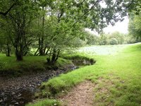
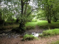
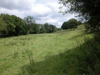
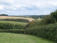
The scene northeast of Yeo Copse
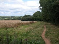
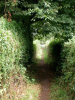
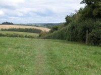
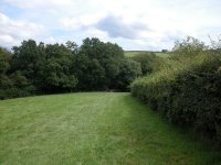
Follow the contours of the valley now, keeping
generally fifty metres south west of the stream on a series of field
paths hugging hedgerows and patches of woodland to your right. This
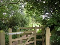
section continues for about a mile, as far as Bradford Mill. There's
one side stream to cross (second image below), after which the path
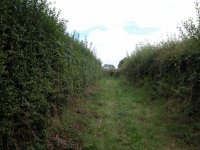
runs hard by the edge of Bradford Moor Plantation. Just short of
Bradford Mill itself the path becomes enclosed between the wood and
another hedge.
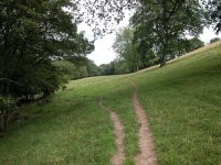

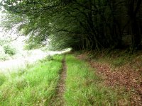
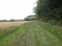
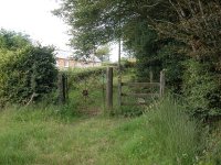
The route between Yeo Copse and Bradford Mill
At the far side of Bradford Moor Plantation the route
comes out into a minor road.
Bradford Mill
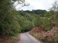
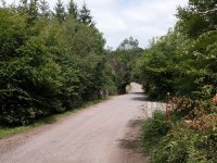
Bradford Mill
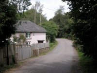
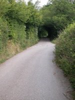
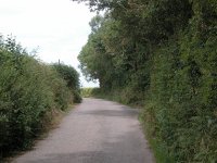
This is the start of a three mile section of road
walking. Fear not. Traffic is very light; on the day I did this walk in
August 2004 I was passed by only six vehicles on the whole three mile
stretch, and three of those were within the last couple of hundred
metres.
Bradford Mill
Turn left and walk down to the mill cottage. Just round the bend ignore
the right fork to Leat Farm and continue on the main road towards
Bradford Barton.
Bradford Barton
Bradford Barton is a very secluded locality, and the road hereabouts is
enclosed by high hedges. As you walk uphill, however, the hedges fall
away and you begin to get glorious views over the splendid North Devon
countryside. Continue uphill to the road junction at Crowdhole Cross,
one mile north of Bradford Moor.

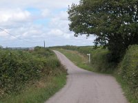
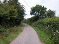
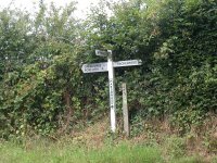
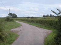
Scenes along the road to Crowdhole Cross
The road pertty much follows the top of a ridge now,
towards the next road junction at Creacombe Parsonage.

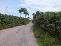
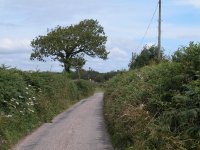
The road from Crowdhole Cross to Creacombe
Parsonage
Creacombe
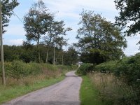
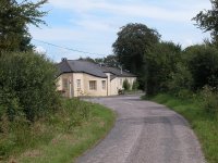
Creacombe Parsonage
The road reaches a junction at Creacombe Parsonage
Farm, a pleasant pastel-washed cottage (second picture above). The
cross is actually a T-junction; go right, for the road signposted to
Rackenford and Tiverton. The road continues to the north east, uphill
again, to reach the next junction at Creacombemoor Cross

Creacombe Moor Cross
One more mile of road walking, still gently uphill,
brings you to a road junction at Toll House Farm at a spot height of
251 metres.
Toll House
Half the day's walk is already over! At Toll House
Farm cross the road and go slightly left to enter a broad green lane
running through a wide copse of trees (no photos of this,
unfortunately, the light levels were very low). The lane continues for
a good mile, with occasional side gates giving access to the pastures
on either side. I took advantage of one of these to park on the
adjacent grass for my lunch stop. Eventually, the lane emerges onto a
lonely back lane at Knowstone Outer Moor.
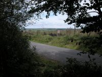
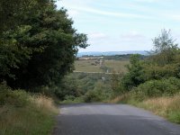
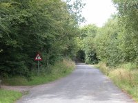
Knowstone Outer Moor and the road to Knowstone
Turn left onto the road and follow it downhill
towards the locality of Brownsford.
Knowstone Moor
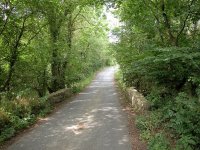
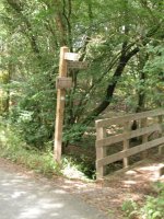
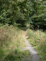
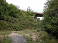
Knowstone Moor Road and the path alongside the
Sturcombe river
Although the map doesn't show it, the road is fringed
by hedges and ribbons of woodland and is most pleasant. Head downhill
towards the valley of the Sturcombe river. Once you cross the little
stone bridge (first image above) turn right for a footpath through the
wood along the bank of the stream. This is a recent diversion and may
not be shown on your map; it's designed to spare you the crossing of
the busy A361 North Devon highway. The new path follows the stream and
shares the underbridge beneath the road (third image above). The road
does not carry a bus route.
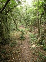
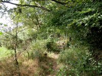

Knowstone Moor
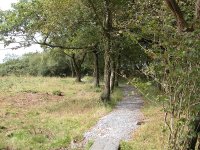
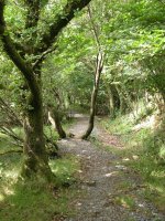
Turn left beyond the bridge. The following section of
path is new, and it more or less runs along the eastern boundary of
Knowstone Inner Moor some 400 metres east of the track that was the
former route of the TMW. You run steadily uphill through semi-open
woodland, with heathland to your left. The area is a SSSI (Site of
Special Scientific Interest), essentially a nature reserve. Eventually
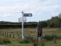
you come out onto a lonely moorland road (third picture below).

Knowstone Moor and the road
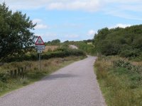
Turn left and follow the road to a junction, at which
you rejoin the old TMW route. Turn right onto a road signposted
"Knowstone". You're close to a hilltop here, and the road rises
slightly at first then drops smartly
downhill again to the north west. The country ahead is getting steadily
hillier; you're approaching the fringes of Exmoor.
Junction and road to Knowstone
Knowstone
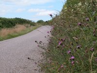
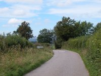
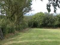
The route to Knowstone
It's the best part of a mile to Knowstone from the
road junction. Once again the traffic is very light and the surrounding
scenery is very pleasant. You can choose to take the road all
the way but there is an alternative for the last four hundred metres;
although it looks bitty on the map it's well marked and fun to explore.
A footpath goes off the road to the right at a left hand bend (second
image above) and runs smartly downhill alongside a hedgerow, doglegging
left and right through gates to sweep down to the village between a
hedge and a wooden fence (second picture below).
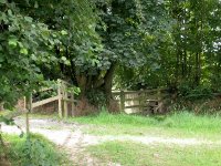
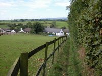
The approach to Knowstone
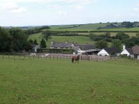
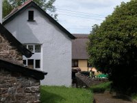
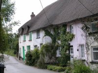
Knowstone
Knowstone is tiny, secluded and chocolate-box pretty,
a cluster of white and yellow-washed cottages with thatched roofs. The
Mason's Arms is the centrepiece of the village and no doubt does a
decent passing trade from those walking the Two Moors Way. It has a
good reputation for food. Apparently it doesn't have rooms but there
are a couple of B&B's nearby.
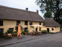

Masons Arms
You're ten miles out of Witheridge now, with just two
more miles to go. Leave the village along the road to the east, and at
the junction take the lane to the left (first picture below). This lane
doesn't go anywhere except to serve the tiny localities of Owlaborough
and Highfield and an adjacent farm or two, and it becomes exceptionally
narrow and twisty.
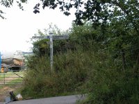
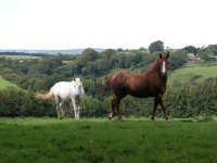
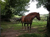
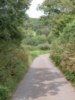
Scenes along the lane from Knowstone to
Owlaborough
Owlaborough
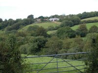
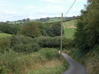
The lane to Owlaborough
The lane runs downhill to a stream, which is crossed
by a ford at a sharp left-hand bend. Thereafter it runs smartly uphill
again and curves round to the right. You pass a couple of cottages
either side of the road; that's Owlaborough. and a hundred metres
further along is its "suburb" of Highfield.
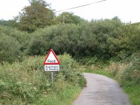
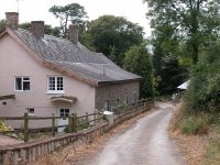
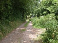
Owlaborough
Not far beyond Highfield the tarmac gives out and
you're on a farm track. After another 200 metres the farm track peters
out in turn at a field corner. Go slightly left now and follow a green
track uphill through a ribbon of woodland to approach Owlaborough Moor.
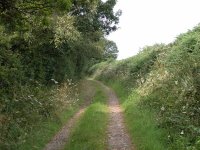
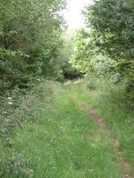
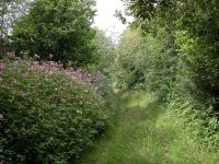
Woodland path to Owlaborough Moor
Owlaborough Moor
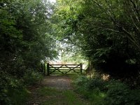
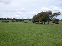
The Two Moors Way arrives at Owlaborough Moor
The name suggests heathland so it's actually a bit of
a surprise to go through the gate at the north end of the copse to
emerge on to a neat, grassy pasture. There's very little trace of a
path on the ground; simply cross the field on the diagonal heading
north east. You cross a north-south field boundary not shown on the OS
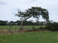
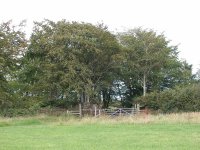
map (first picture below) then head across the next pasture on the same
bearing for a gate by a bent tree (second image below).
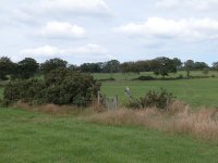
Owlaborough Moor
Beyond the tree cross a final pasture, still on the
same general heading, to reach a gate into a wood (third image above).
The wood is called New Moor Plantation and the gate gives access to a
short vehicle track straight through the middle, to emerge at the B3237
road at the far side.

New Moor Plantation
This is the end of the day's walk. The road carries a
bus service (no. 307 Taunton to Barnstaple via Exebridge, Dulverton and
South Molton, generally once every two hours). The bus won't be able to
stop for you here but if you walk a quarter of a mile to the east you
will reach the Jubilee Inn at a road junction. The inn is a recognised
stop on the route although it doesn't actually figure on the timetable.
Due to the bends in the road sight lines are poor, so stand on the
Jubilee Inn (north) side of the road to flag down the bus in either
direction. There's a B&B at nearby
Highaton Farm.
Now
available on
CD - the high resolution (2560 x 1920 pixel) originals of the images
on this gallery. 97 images, 165MB of data.
(includes some images not
selected
for the website).
£4.00
inclusive
of postage / packing.
Note:
Payment
by credit card is handled by Pay Pal. If you are not already a member,
their validation of your account can take up to 4 weeks.
|


![]()