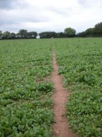


The Walk
We continue our walk across mid-Devon today, and once again we'll be
walking through a world of farms, pastures, fields, cattle, woods,
streams,
back lanes and tiny villages. The Two Moors Way is well waymarked
through most of this section and there are just a tiny handful of
localities where the route is ambiguous. The distance of twelve and a
half miles is quite enough for one day, particularly as the terrain is
quite hilly - there is nearly 1400 ft of ascent in total. The only real
opportunity to break the walk is at Morchard Bishop, which has an
infrequent bus service. Morchard Road is on the Exeter - Barnstaple
railway line, while Witheridge is on the Taunton to Barnstaple bus
route.
Maps: OS 1:25000 Explorers 113
(Okehampton) and 127 (South Molton and Chulmleigh)
Click
on
any thumbnail image in this gallery to display the corresponding full
size
image. The images are access protected through a cgi script to prevent
hotlinking. If you encounter problems while trying to view the full
size
images, please read the access advice
page.
Morchard Road
Having reached Morchard Road by train or bus, go southwest along the
main Exeter road and over the main crossroads. Your initial task is to
discover the correct driveway to Shobrooke Bridge, and I found on my
visit in 2004 that this can be a matter of trial and error. The correct
driveway runs diagonally off to the left (east) some 250 metres beyond
the crossroads, opposite a white house and leads to a cottage or two.
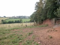
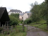
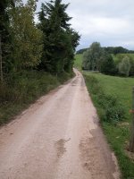
Shobrooke Bridge itself, which takes the farm track across the railway,
is just past the cottages (first picture above).
Follow the track towards Shobrooke Farm and then, keeping an eye on the
map, follow the Two Moors Way along a series of fieldside paths to the
north and east. The waymarking is generally good, though the small wood
to the north of Shobrooke Farm is a source of confusion. It's depicted
on the map as being shaped like a wedge of pie, the apex pointing south
towards the farm. Its actual shape is a little more complex and, on
sunless days, you can get disoriented. Trust the waymarks, and follow
the paths beyond the wood northwards to Slade farm.
Slade
Morchard Bishop
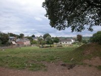
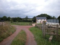
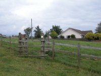 The route reaching Morchard Bishop
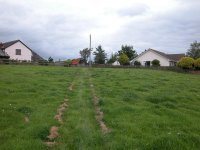
Morchard Bishop is a charming little
place, its outskirts an open cluster of whitewashed cottages approached
by a series of small pastures featuring a good many gates and stiles.
This "suburb" of the village is known as The Parks, a very apt name.

The Parks
 Arriving in Morchard Bishop
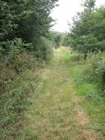
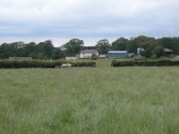
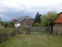
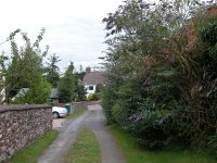
Having made your way across the various
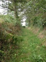
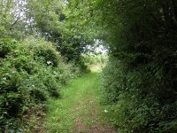
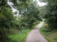
pastures and paddocks you find yourself in a little lane (second photo
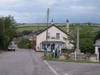
above) that brings you out into the centre of the village. Just down to
your left is the village shop, a most useful amenity. Adjacent to the
shop is a small green featuring a war memorial and some seats, an
excellent place to stop for a refreshment break. There's a bus service
to Exeter once every two hours, plus occasional buses via Chulmleigh to
Barnstaple, for those who wish to break the journey here.
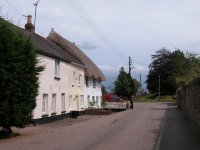
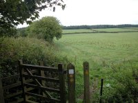 Morchard Bishop village shop, Church
Street, and the path to Morchard Wood
Leave the village to the east, along
Church Street. Opposite the church and just beyond the school take a
footpath off to the left. This skirts the school grounds and runs
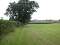
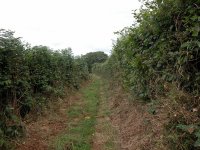
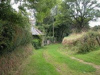
alongside a hedge (first picture below). At the next field corner go
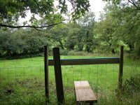
half right towards a stile some 300 metres ahead. Once across this
stile go half right once again, following alongside the fence (second
picture below). Morchard Wood lays to your left and, at the far end of
the field, the path doglegs to the left to run into the wood.


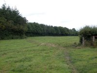 The path network between Morchard
Bishop and Morchard Wood
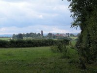
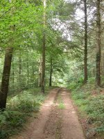
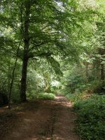
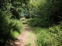 Looking back at Morchard
Bishop; scenes in Morchard Wood
I was struck by the vigour and variety
of plant life within Morchard Wood, which itself is an interesting mix
of tree species. I even spotted shamrock growing in there and I'm
willing to bet that the wood is
alive with bluebells each May. The path through the wood slopes
downhill. At the far end you come out onto a road.
Black Dog

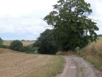
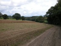 Beech Hill and the field paths to
Lower Brownstone
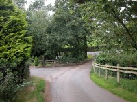
Go to the left along the road for a
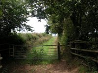
short distance until you come to the private drive to Beech Hill (first
picture above), and turn hard right for the footpath to Lower
Brownstone. The path heads downhill into a gully, crosses a stream by a
plank bridge and runs alongside the northwest edge of a wood. Towards
the end of the wood the path cuts across the corner of the pasture to
reach a second footbridge. Beyond here you run uphill, with a hedge to
your right, to reach Lower Brownstone farm.
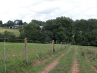

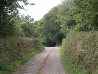
Paths
and footbridges on the approach to Lower Brownstone
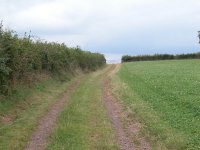
Take the farm driveway north from Lower
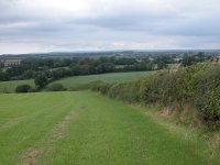
Brownstone out onto the road and cross it to enter a farm lane (first
picture below). This lane leads out to a broad, flat pasture with a row
of trees along its eastern edge. Walk alongside these to the next field
corner, then northwards again to a further field corner. From here the
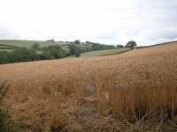
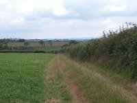
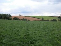
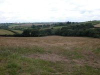
path goes half right, diagonally across a rough pasture (third photo
below), and downhill to a stream within a copse of trees.

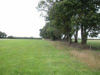
Field
paths, Lower Brownstone to Wood Farm
You're now in the grounds of Wood Farm
and here another path revision is about to take place. The new path
will head west-northwest along a series of field boundaries following a
rising spur of land, to come out onto the road just beyond the marked
spot height of 185 metres. The present path tracks to the north via
Wood Farm and initially runs up a pretty steep slope from the copse.
Old and new paths converge at the hilltop, where there is a barn. Once
you reach the road go straight across for a footpath heading for
Cobscome Farm.

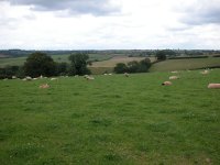 Cattle at Wood Farm; the
environs of Cobscombe Farm.
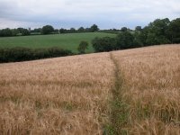
The next section is a bit tricky to
follow - you're in a grassy pasture without much sign of an actual path
(second picture above). Tend to the right as you go down a steepening
slope; there's a field boundary to cross before you come to a bridge
over a stream. Thereafter things are easier. Go uphill again towards
Cobscombe farm and follow the waymarks right alongside the farm
buildings and out onto the road beyond. Follow the road now,
southeastwards to Black Dog.
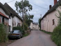 Black Dog
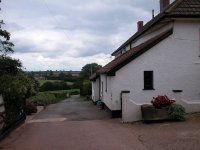
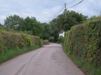
Black Dog is an oddly named village, yet
is pleasant enough, a peaceful place of white rendered cottages. The
Black Dog Inn is said to be a well-known watering hole on the TMW so by
all means check it out. Black Dog stands on a ridge roughly halfway
between Dartmoor and Exmoor and enjoys pretty decent views of both. I'm
told that a number of artists reside in and around the village; one of
them is a friend of a friend and there is a link to her website below.
 Kirsty Bonning
,
Landscape painter, Black Dog Studios
The TMW route doesn't reach the main part of the village but, some 300
metres before
the crossroads, turms hard left onto a vehicle track heading north
for Pyne Farm. Eagle-eyed map readres will spot a local footpath that
promises to cut off this sharp corner but, unfortunately, it seems to
be something of a fantasy. By the time you've found and negotiated it,
you are better off walking the extra hundred metres on a much more
straightforward route.
 The track to Pyne Farm
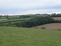
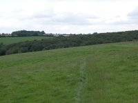
The lane proves to be short, and not far
after leaving Black Dog you come out onto open pasture again. The route
runs downhill to cross a stream before a short uphill run to Pyne Farm
itself; then this scenario repeats itself as you go downhill across a
second open pasture, cross a second stream, and then make your way
uphill towards Wonham.

 Open pastures near Pyne Farm
Wonham
Pass Wonham farm and then turn right at the next field corner. There's
a fairly steep slope down to your left, though the path itself hugs the
contours pretty well as it follows field boundaries to the northeast.
Then, about half a kilometre beyond Wonham, the path goes smartly
downhill to come into Washford Wood.
Witheridge
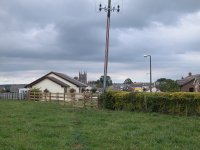 Entering Witheridge
The way into the village is a little
more complicated than the map would suggest; you need to make your way
along a residential road or two before reaching the enclosed lane that
takes you slap into the village square.

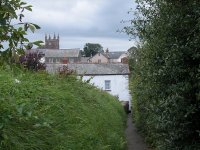
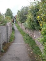 The lane
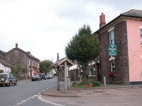
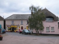
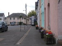
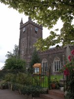
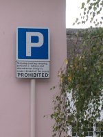 Witheridge village square and church,
and a welcome
Witheridge is rather lovely - you can
drink in the charm of the place and even forgive the sign that says,
"Sleeping, cooking, camping, personal ablutions and disturbances
likely to cause a breach of the peace PROHIBITED". Presumably you can
sneeze if you really must! But there are plenty of amenities here; a
couple of shops, a couple of pubs, a public lavatory, and of course the
bus stop for the Tiverton - Barnstaple service.
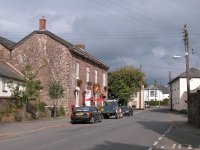

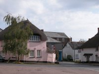 Witheridge
Now
available on
CD - the high resolution (2560 x 1920 pixel) originals of the images
on this gallery . 94 images, 155MB of data.
(includes some images not
selected
for the website).
£4.00
inclusive
of postage / packing.
Note:
Payment
by credit card is handled by Pay Pal. If you are not already a member,
their validation of your account can take up to 4 weeks.
|
This page last updated 23rd April 2007


