


The Walk
This is the second part of the thirty mile stretch between Inchbae and
Ardgay. We're back in civilisation - there are roads, houses and
pastures instead of mountains and moors, but there are no facilities
(apart from a single phone box and one solitary B&B) until you
reach Ardgay itself. Depending on how you chose to tackle this section
you will either be backpacking (and may therefore be approaching from
Gleann Mor) or you will be arriving at Glencalvie by bike, postbus or
private car. There are two roads along Strathcarron, one each on the
south and north side of the river; I've shown the route along the south
road but you can take either, there is little difference. The entire
walk is on tarmac and you may prefer to wear shoes or trainers instead
of hiking boots.
Maps: OS 1:25000 Explorer 437 (Ben Wyvis & Strathpeffer), 441 (Lairg, Golspie & Bonar Bridge)
Click
on
any thumbnail image in this gallery to display the corresponding full
size
image. The images are access protected through a cgi script to prevent
hotlinking. If you encounter problems while trying to view the full
size
images, please read the access advice
page.
Glencalvie Lodge

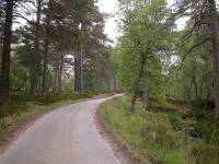
The public road is joined at
Glencalvie Lodge
The
public road begins at a turning circle just beyond the side road down
to Glencalvie lodge. Walk along the road to the north. The road runs
through open woodland, scenery pretty much identical to that of the
last three miles of yesterday's walk. There are occasional glimpses of
river scenery to the right. After roughly a mile you reach the environs
of Amat Lodge.


The road from Glencalvie to Craigs
Amat Lodge
Road and river scenes close to Amat
Lodge
Amat Lodge, like Glencalvie Lodge, lays
off the road to the right and
is not seen. Just by the driveway entrance the scenery becomes a little
lusher and more ordered, and there is a short stretch of stone wall.
Stay on the main road; the junction with the main Strathcarron road at
the Craigs is only a few hundred meters ahead.


The road in the vicinity of Amat
Lodge
The Craigs
The road emerges suddenly at a T-juction. You've reached the Craigs
(which is actually a small cottage across the road and to the right). A
red phone box stands adjacent and can be extremely useful. A mile to
the left is Croik, a tine village whose church featured in one of the
acts of defiance against the Highland clearances. Turn right, however,
and start along the road.
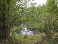
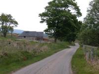
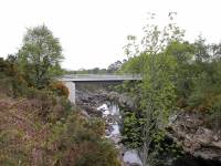
The
river at Craigs; the
Strathcarron road joined; road
bridge
About
1200 meters beyond the Craigs junction a choice presents itself. A road
diverges to the right over a bridge and becomes the south Strath Carron
road. You can choose to take this road or to stay on the present road,
which heads along the north side of the glen. There is slightly more
habitation on the north side and if you're headed for Strath Carron's
only B&B this is the way you should go. Otherwise, the choice is up
to you. I took the south side road and that's the route I shall
describe.
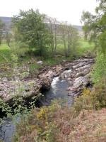
River Carron from the bridge
Dalabheairn

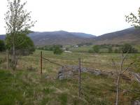
The scene at Dalabheairn
Initially
there isn't much to see. The scenery is no longer wild but it is still
empty. You pass the lone cottage of Dalabheairn after about half a
mile; after that it's a further mile to the next cottage, which is
Croik Schoolhouse.


Croik schoolhouse and the
footbridge
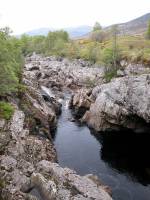
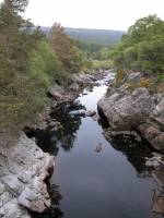
The river at Croik Schoolhouse
There's some tree cover by Croik
Schoolhouse, and just here the river and the north side road run very
close to the south side road. A footbridge over the river is visible
through the trees and it allows views of the river running through a
rocky channel, bringing back memories of the Blackwater now two days
behind. The north side of the bridge is closed off, so continue along
the south side road.
Gruinards
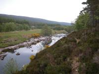
River scenery
The road, which was heading generally
northeast, now turns more eastwards and a substantial forest plantation
now cloaks the slopes on the north side of the glen. The river scenery
is still quite impressive at first but after some 900 meters the river
meanders away. After a further kilometre the substantial lodge of
Gruinards can be glimpsed through the trees to the left, though it is
more easily seen from the north side of the river.

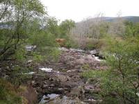
The Strathcarron road, Gruinards
Continue along the road, which now has
substantial trees plantings to either side. Some way beyond the lodge
the river runs round a tight s-bend to near the south side road again,
and we're in the locality of Mid Gruinards. As the scenery opens out
once more you will see the locality of Hilton on the opposite side of
the river, characterised by a row of lone cottages each standing some
300 meters north of the road, and each reached by its own driveway. If
you got the postbus out to Glencalvie you will already be familiar with
many of them.


Mid Gruinards and a view across to
Hilton
Mid Gruinards gives way to Easter
Gruinards and the valley begins to widen out a little. You pass the
small cluster of buildings that is Gruinards itself, after which you
come to Wester Dounie.
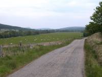
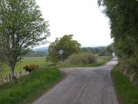
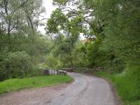
Gruinards to Wester Dounie
Dounie
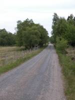
The road at Dounie
Dounie
consists of Wester Dounie and Dounie itself. These twin localities are
no different from Gruinards save that the cottages become a little more
numerous and both the valley and the river itself become broader.
Beyond Dounie the road, which was almost straight for nearly a mile,
suddenly reaches a series of bends short of upper Gledfield.
Gledfield

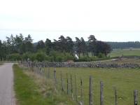
The road at Gledfield
The
road swings to the right at Gledfield, well away from the river, and
you run alongside a substantial stone wall. Between the wall and the
river is Gledfield House, another Scottish baronial mansion, currently
owned by the head of the Swarovski lead crystal company.


Passing Gledfield lodge
Lower Gledfield
At the far end of the wall enclosing the grounds of Gledfield House the
road bends half right. Here we're running out of Strath Carron into the
flat country fringing the Kyle of Sutherland opposite Bonar Bridge, and
the end of this section lays barely a mile ahead. At Lower Gledfield we
reach a road junction; the road to the left joins the north Strath
Carron road and also runs around to head along the south side of the
Kyle of Sutherland; this is the way to go should you be heading for the
youth hostel at Culrain. Otherwise stay on the main road and walk
through Lower Gledfield. This village is effectively an outlier of
Adrgay, and not far beyond the village the road turns right to head
alongside the railway into Ardgay itself.


Lower Gledfield
Ardgay
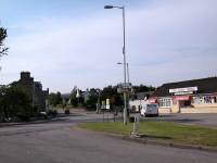


Ardgay
Ardgay seems like a metropolis - it's the
largest settlement we've seen since Fort Augustus, eight days ago.
There's a general stores, a cafe (the Lady Ross), a post office, and of
course the railway station. Those seeking accommodation are directed to
Bonar Bridge, a mile further on across the Kyle.
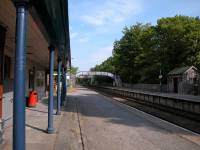
Ardgay Station
|
Now
available on
CD - the high resolution (2560 x 1920 pixel) originals of the images
on this gallery. 50 images, 72MB of data. (includes some images not
selected
for the website).
£3.25
inclusive
of postage / packing.
Note:
Payment
by credit card is handled by Pay Pal. If you are not already a member,
their validation of your account can take up to 4 weeks.
|
This page last updated 11th July 2004


![]()