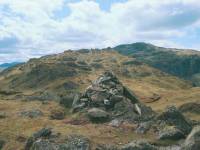
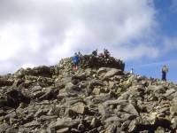
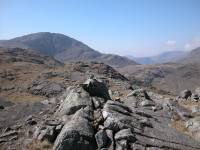
The Scafell / Bowfell massif
Sketch map will appear here
On a map or an aerial photograph the Lake District looks very much
like
a wheel, with the lakes as "spokes" appearing to radiate from a common
centre. The fells are formed largely of ridges between these spokes and
it might be imagined that the highest fells can be found at this
imaginary
centre. Nature is, however, not perfect. The geographical centre of the
Lakes is a relatively low and uninteresting sprawl of moorland while
the
highest fells can be found in the southwestern sector of the district.
This southwestern area of the lakes is centred on the Scafell /
Bowfell
massif, and within it are England's highest summits. The area perhaps
owes
its superior height to the nature of the rock - these fells are formed
of volcanics, and tend to be rough and craggy in contrast to the
smoothly
rounded slate-formed hills to the north. England's highest mountain is
the 3,210ft Scafell Pike; truly a mountain rather than just a hill, it
features a rough, bouldery summit, flanks rent with rocky gullies and
crags,
and (uniquely in Lakeland) two adjacent "tops" each exceeding 3000ft in
their own right. If the county of Cumbria were in Scotland, Scafell
Pike
would come in as Munro number 175, superior in height to such well
regarded
mountains as Ben Lomond, Sgurr nan Gillean, Luinne Bheinn and Blaven.
Scafell Pike has an extensive system of outliers, most of which are
regarded as separate fells. Not least of these is Scafell itself, lying
a mile to the southwest across the col of Mickledore and England's
second
highest summit. On the Wasdale side lies Lingmell. To the northeast is
the great butt-end of Great End, below which lies the popular walkers'
path running past Sprinkling Tarn; a pretty name for a dramatically
sited
but otherwise rather gloomy body of water. The Scafell massif continues
northeast, sending a ridge down into upper Borrowdale comprising the
fells
of Allen Crags, Glaramara, Seathwaite Fell and Bessyboot.
The Scafell group's neighbours to the east form an equally imposing
group of fells, centred on the 2960ft Bowfell. It is a very fine
mountain,
sending watercourses down into Borrowdale, Langdale and Dunnerdale; its
western outlier, Esk Pike, dominates the head of Eskdale. Other
prominent
members of the group include Crinkle Crags, Cold Pike and Pike
O'Blisco,
while there are lesser heights extending down between the valleys such
as Rosset Pike and Lingmoor. Bowfell itself, England's 6th highest
summit,
stands proud at the head of Langdale and is a magnet for walkers.
Wainwright omits much of the country to the southwest of the Scafell
/ Bowfell massif, yet these mountain systems continue as a sprawling
ridge
of high moorland almost to the coast. Scafell itself drops gracefully
to
valley height by the intervening top of Slight Side, but the Bowfell
group
- interrupted briefly by the airy heights of Hardknott Pass, reputedly
the steepest motor road in Europe - spreads out again between Eskdale
and
Dunnerdale and is dotted by remote heights such as Green Crag, Hesk
Fell,
Whitfell, Buckbarrow and Black Combe.
Eskdale and Dunnerdale are the only valleys in Lakeland not to
possess
lakes, which perhaps explains the relative lack of tourist traffic and
associated facilities in this corner of the National Park. Wastwater,
which
delineates the Scafell / Bowfell group to the west, is however one of
its
finest features and is celebrated as England's deepest body of water.
The
group as a whole is bounded in the west by Wasdale and Styhead Pass,
and
in the east by Langstrath, Stake Pass, Langdale, Little Langdale,
Wrynose
Pass and Dunnerdale.
Gallery Index
Back to Lake District index page
This page last updated 23rd May 2004


