|
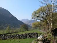
I started off, as did many others that morning, by taking the
9.20
bus from Keswick to Seatoller. It's necessary to walk from here along
the
road to Seathwaite farm. |
|
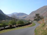
The road has glorious views all the way to Great End. |

|
There were so many cars parked at Seathwaite that the verges
were full
up to a quarter of a mile from the farm. This is the yard of Stan
Edmondson's
farm at Seathwaite. |

|
Beyond the farm is a wide track that runs close to the stream. |
|
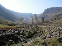
Glaramara, which is one of the objectives of today's walk,
dominates
the view southwards along the valley. Seathwaite Fell lays to the right. |
|
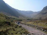
Further along the valley. It's still relatively level here
but soon
the path will start to climb. |

|
Approaching Stockley Bridge. |
|
Stockley Bridge, a well known beauty spot. On a warm summer
afternoon
there are always crowds of people here, picnicking and swimming. |

|
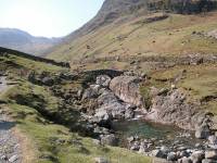
Grains Gill, seen from the parapet of the bridge. |
|
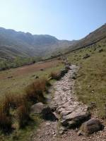
Across the bridge is a major path junction. The path to the
right climbs
past Taylor Gill Force and along Sty Head Gill, heading for Sty Head
Tarn.
My route, however, goes to the left alongside Grains Gill. |

|
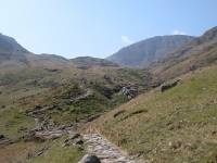
Looking back down the valley towards Seathwaite. |
|
The path is climbing significantly now. The brooding north
face of
Great End looms at the head of the valley. |
|
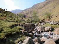
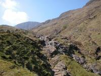
The Grains Gill path has a good many picturesque little spots
like
this. |
|
A cascade beside the path. |

|
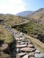
The gradient gets a bit more serious now. |
|
Ray McHaffie and his crew rebuilt this path for the National
Trust
in the 1980's. They made a really good job of it. |

|
Looking back down the valley. |
|
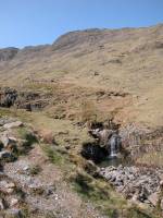
Another picturesque little fall by the path. |

|
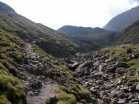
It's getting rockier now and a bit of clambering is involved.
Hands
out of pockets! |
|
The path climbs high above the stream bed at a steep section. |

|
Nearing the head of the stream now. It takes roughly an hour
and a
quarter to ascend the path from Stockley Bridge. |

|
Now we can see across to Glaramara, one of the day's main
objectives. |

|
The impressive ravine at the head of Grains Gill. From here
on it's
known as Ruddy Gill. |
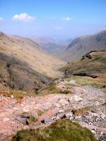
|
The Grains Gill valley from the head of the gill. Many
walkers stop
here for a breather. |
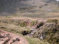
|
The path follows Ruddy Gill around to the left. |

|
A last view of the ravine. |
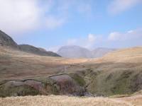
|
As the path climbs alongside Ruddy Gill to the east, Great
Gable appears
over the col. Sprinkling Tarn lies just over the lip of the col, a
couple
of hundred metres away. |
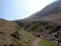
|
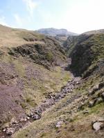
Ruddy Gill, with Great End rising to the right. |
|
The path crosses the bed of Ruddy Gill and rises towards Esk
Hause
beyond. |
|
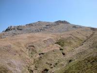
That's Allen Crags, the day's first summit, now only ten
minutes away. |
|
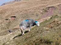
The alternative look for the modern sheep. |
|
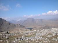
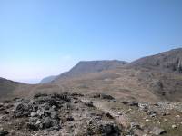
The path forks, the right hand track heading to Esk Hause and
Scafell
Pike, the left hand track heading for Angle Tarn and Langdale. Here we
can see back to the Gables and Sprinkling Tarn. |
|
The summit of the path. That's Bowfell in the centre of shot,
Esk Pike
rising to the right. Now we turn left for Allen Crags. |

|
A few minutes later and I've arrived at Allen Crags, 2572 ft.
Surprisingly,
this fell is far less famous than it deserves to be and many walkers
regard
it as a minor top that needs to be crossed on the way to Glaramara.
Here
I'm looking south from the summit cairn to Bowfell and Esk Pike. |

|
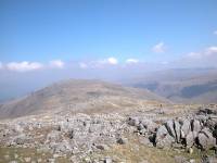
The Gables, seen to the west from the summit of Allen Crags. |
|
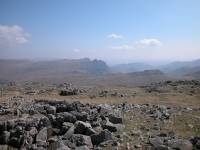
Looking north along the ridge. Between Allen Crags and
Glaramara are
a number of tops, some of which count as Hewitts or Nuttalls. Much of
the
intervening country is very rocky, a consequence of the volcanic
origins
of the area. |
|
Looking to the east, where the Langdale Pikes appear above
Rossett
Pike. |

|
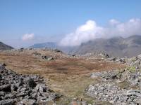
That's not Glaramara ahead, just the minor top of High House. |
|
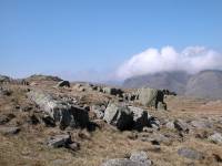
Great Gable from the descent to the first col, with cumulus
clouds
lapping over the ridge from the west. |
|
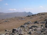
The rocky terrain of the col. |
|
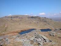
The Langdale Pikes seen beyond one of the many tarns on the
ridge. |
|
Walkers unfamiliar with the terrain might be forgiven for
thinking
that this is High House Tarn. It's not. Barely visible on the maps, it
doesn't even have a name. |

|
The Gables seen through a rocky gap as I ascend High House. |

|
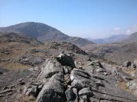
Looking back at the tarn, with Bowfell peeping round the
corner. |
|
The summit of High House, otherwise known simply as Allen
Crags (North
Top). Strictly, this top is nameless, but the Hewitts named it for High
House Tarn which it overlooks. We're looking south here, to the
prominent
cliffs of Great End. Sprinkling Tarn is visible. |

|
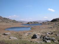
High House Tarn, with yet more minor tops beyond. |
|
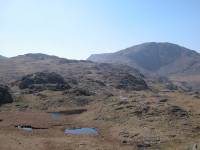
High House Tarn at the col. |

|
Looking across the tarn to the southeast, with Bowfell and
Esk Pike
beyond. |
|
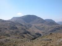
Looking back at High House Top and Great End. Ill Crag is
coming into
view to the left of Great End. |
|
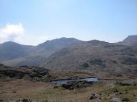
Great End in all its glory, flanked by Ill Crag (left) and
Lingmell
(right). |
|
A southern panorama - Bowfell, Esk Pike and Ill Crag
overtopping High
House. |
|
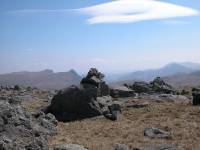
Another nameless top, at 2365 ft. It qualifies as a Hewitt,
and that
list simply names it as Glaramara South Top, but the Nuttalls name it
for
Red Beck. The summit of Red Beck Top, seen here, lays off the path to
the
west and it's a fair bet that few walkers ever seek it out. The
Langdale
Pikes and the Coniston fells are seen in the distance. |
|
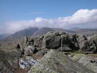
One of the many rock formations between Red Beck Top and
Looking Steads. |
|
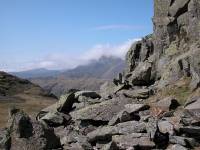
There's only a very brief col north of Red Beck Top before
the climb
of Looking Steads begins. It's very rocky and the ascent is a mild
scramble
that
some walkers would find daunting. |
|
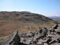
Looking back at Red Beck Top and the col. |

|
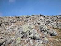
A fine view of Great End. |
|
Nearing the bouldery summit of Looking Steads. |

|
The Langdale Pike, and a view right across the Lune valley to
the Yorkshire
Dales. |

|
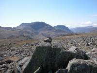
The summit of Looking Steads, 2543 ft and another Nuttall. |
|
Ill Crag, Great End and Lingmell from the summit cairn. |

|
Further round we see Great Gable, Kirk Fell and Pillar. |

|
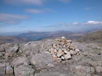
It's now only an 800 metre walk to Glaramara itself. |
|
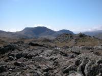
Here at last. Glaramara, 2560 ft high. |
|
But it's a confusing summit. There are two cairns - there's
the second
one. And about 150 metres to the north there's a second summit, with
two
more cairns. |
|
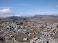
The view towards High Stile (left) and Grasmoor (right). |

|
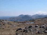
The Langdale Pikes and Coniston fells from Glaramara. |
|
From the other summit we're looking southeast towards Pike o'
Blisco
and the Coniston fells. |

|
This is the northern summit. Wainwright declares it to be the
"official"
though to me the first (southern) top looks slightly higher. No doubt,
though, that this is where you get the best view of Derwentwater and
Kewsick. |

|
Looking back at the south summit with Great End and Lingmell
behind. |

|
"Candyfloss" clouds spilling over the tops of Bowfell and Esk
Pike. |

|
And now to find the way down to Borrowdale. This is where I
was to
encounter one of Glaramara's most annoying features... |
|
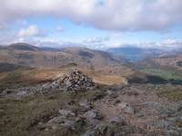
....the tendency of all paths leaving the summits to peter
out. Cairns
everywhere, and none of them seem to do much good. |

|
Ah, that looks like a path. |
|
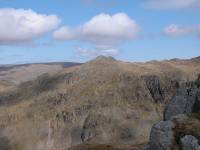
After floundering around trackless terrain at the head of
Comb Gill
I've found my way onto the Thorneythwaite Fell ridge. That's Rosthwaite
Cam, on the opposite side of Combe Gill |

|
And that's Dovenest Crag, a little further south. |
|
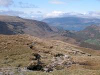
The path along Thorneythwaite Fell descends steeply in parts.
I wouldn't
like to come up this way. |

|
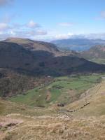
Upper Borrowdale, spread out below. And quite a long way down. |
|
There's Seatoller. Hopefully I'll be in good time for the bus. |

|
I stopped here for a tea break and was overtaken by a party
of walkers
from Tyneside, who stopped in turn just below me. |

|
Losing height fast now, with Castle Crag seen dead ahead. |

|
After a number of minor scrambly bits necessitating six point
contact
(sliding down on your bum), I'm coming down to Comb Gill. |

|
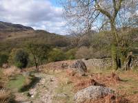
The path reaches the first intake wall and meets tree cover. |
|
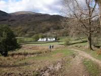
Open woodland alongside Comb Gill, as the path drops to
valley level
at last and approaches Mountain View cottages. |
|
There's Mountain View just ahead |
|
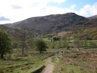
This view of Base Brown and the Seathwaite valley brings a
lovely end
to an exceptionally fine walk |
![]()