


| Ponden to Thornton-in-Craven | Back to Pennine Way index | Malham to Dale Head |
|
|
|
| Length: | 10.9 miles / 17.6 km |
| Total ascent: | 725 ft / 221 m |
| Total descent: | 1226 ft / 374 m |
| Estimated time: | 3 hrs 31 mins |


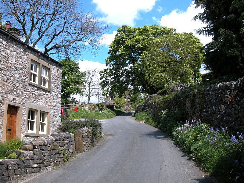
Thornton-in-Craven
![]() Pennine
service 215,
Skipton - Thornton - Burnley
Pennine
service 215,
Skipton - Thornton - Burnley
![]() Pennine
service 211/212,
Skipton - Thornton - Earby
Pennine
service 211/212,
Skipton - Thornton - Earby
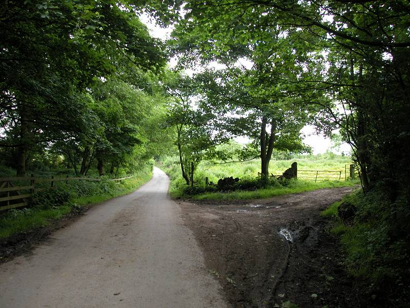
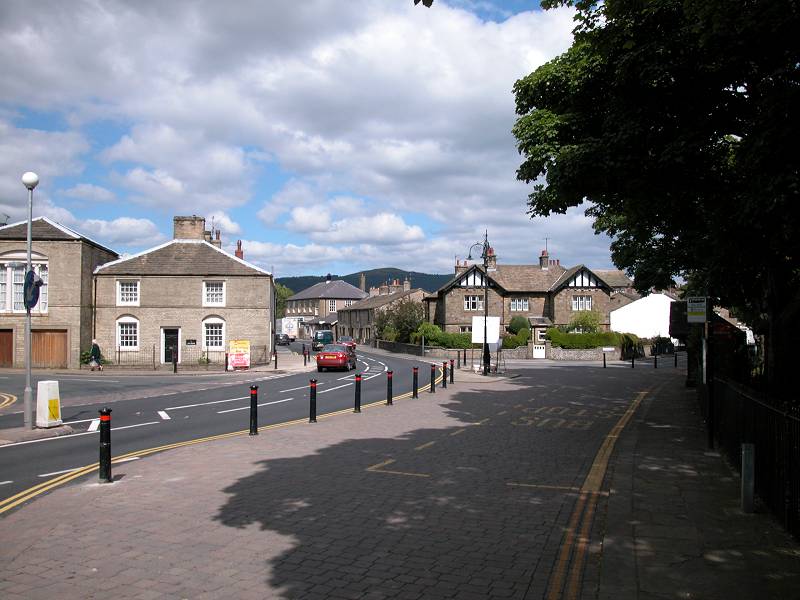
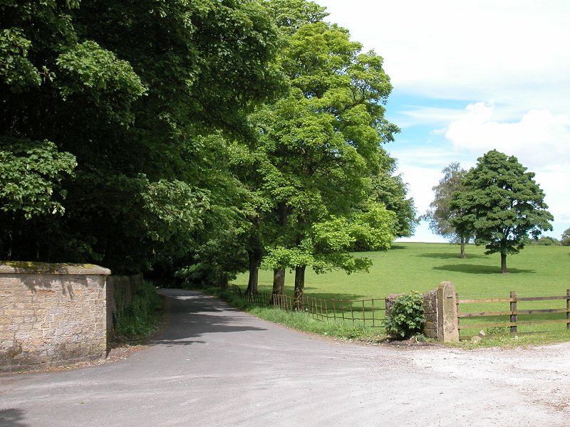
The Pennine Way leaves Thornton-in-Craven by Cam Lane, a residential road leaving the village to the northeast, a little to the east of the post office and the point where the route entered the village.
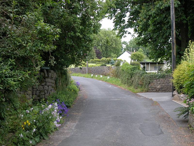


Cam Lane
Cam Lane continued for a good deal longer than the map would suggest. It continues to pass houses and cottages for a good half mile, and once out of the village the tarmac surface continues.


Cam Lane leaving Thornton


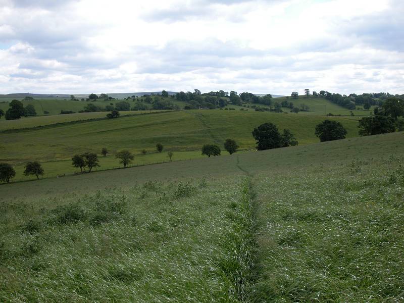
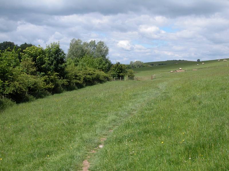
The Pennine Way at Langber
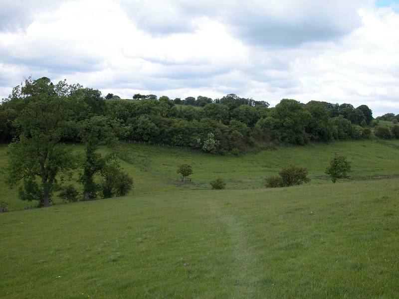
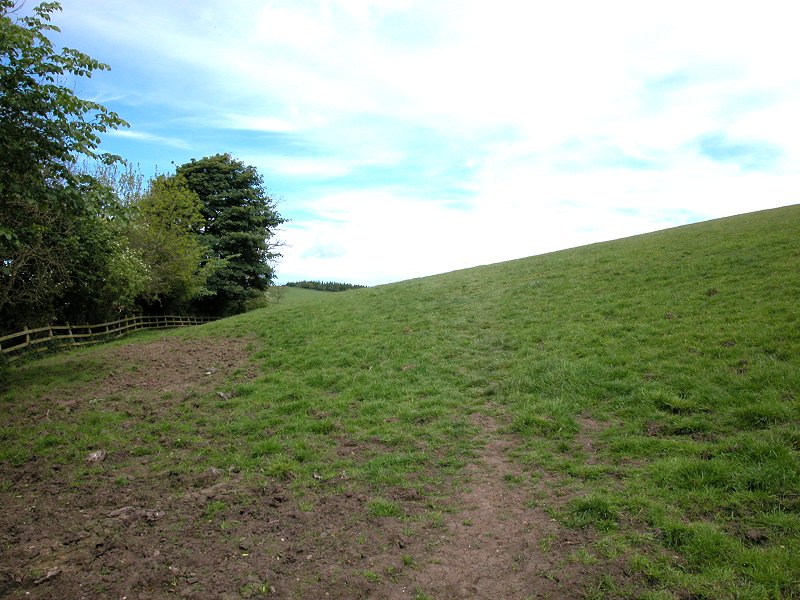
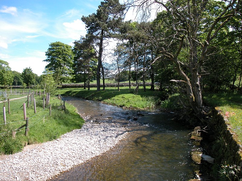
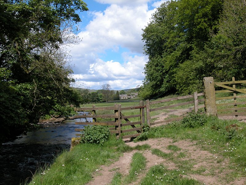
There is no path as such, just a ribbon of worn and scuffed grass. The route runs over the top of a small hill (first image below) and down to a line of bushes, where the Way crosses the small stream of Langber Beck. Once across the beck the route crosses the small hillock of Langber Hill, running diagonally across the pasture on a second sketchy path (second image below). At a slight dip you cross a stile into another pasture; follow the sketchy path across its northeastern corner (third image below) to what appears to be a copse of trees. In fact these trees mark the bank of the Leeds - Liverpool Canal and the Pennine Way now adopts its towpath for a short distance.


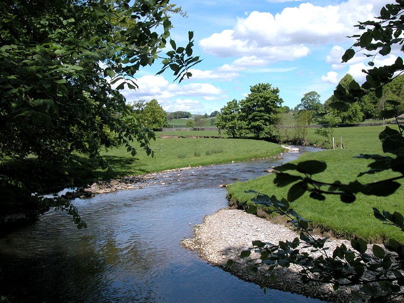
The Leeds - Liverpool Canal south of East Marton
The PW reaches the Leeds - Liverpool canal not far south of the village of East Marton, where both the canal and the PW are crossed by the busy A59 road. Thanks to this road and to the village, this stretch of the canal is busy and is a popular mooring point.


Soon after joining the towpath you reach bridge 160, a standard stone arch carrying a local road over the canal. Immediately after this bridge is a fairly tight curve to the left, and as you round it an odd sight comes into view - a bridge on top of a bridge. This curious double-arched structure carries the busy A59 road over the canal. It would appear that after the original bridge was built the height of the road was raised to eliminate a dip, and as a consequence a second bridge was built on top of the first. It looks odd, but it works.


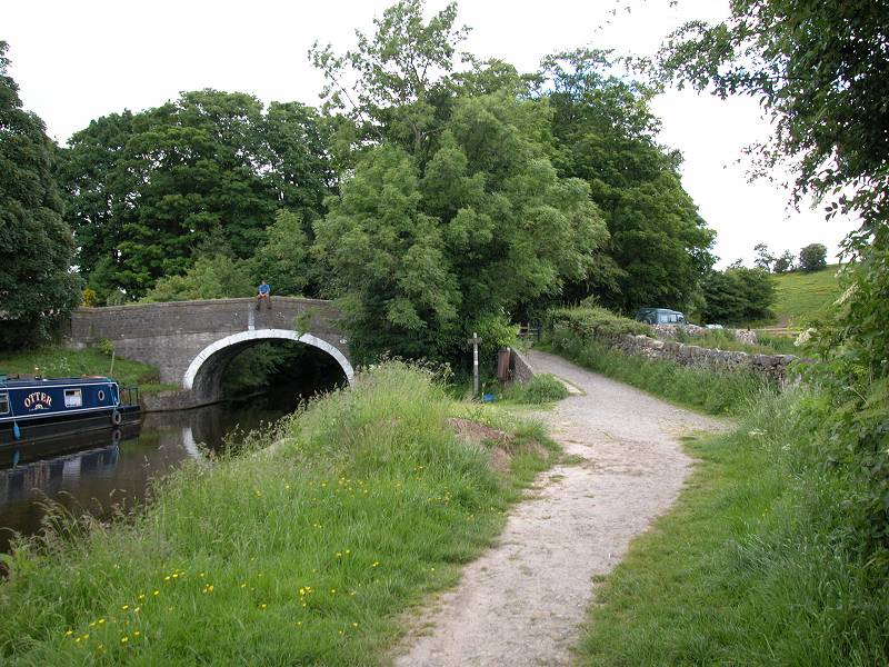
The major mooring area is just after bridge 161 (so watch you don't trip over any mooring ropes, and also be on the lookout for anglers). You quickly reach bridge 162, and it's here that you leave the canal towpath.


The next mile of the Pennine Way is notoriously difficult to navigate, and you need to keep your wits about you. The basic secret is to keep your eye on the field boundaries, not always easy as temporary wire fences can come and go. Go up the slip from the bridge to the track and start going east, but turn almost immediately left onto a farm road (first image above) that heads north, roughly parallel with the canal. There are trees to the left, pastures to the right. The first point of ambiguity is a Pennine Way sign that points, unhelpfully, slightly left of the farm road and might suggest that you should leave the road and start heading across the pasture. Don't. The PW leaves the farm road at the next field boundary. It is supposed to cross this pasture on the diagonal and head for the southeast corner of the little wood to the north, but I came a complete cropper here in 1988, and on my subsequent visit in 2003 I found the route illegally blocked with electric fences.
Assuming you find your way to the corner of the wood, pass to its right (second image above) and then stick close to the trees to find a half-hidden stile. Cross this to follow a path just inside a stone wall marking the boundary of the wood. On exiting from the wood (third image above) cross a narrow pasture on the same bearing to come out onto a farm track. Yes, it's the same farm track you left a few minutes ago. It would be tempting to recommend that you stay on this track initially to avoid the route finding intricacies.

Turn east (right) onto the farm track and follow it for the short distance to a left-hand turn. Go around this turn but then take a footpath heading diagonally to the right - it leaves the track at the point pictured in the first image above. Once again there is no path as such, just a ribbon of worn grass that may be easy or hard to follow depending on the time of year. I remember getting thoroughly lost here in 1988. The trick would appear to be to head for the northeast corner of this pasture (second image above) and thereafter follow the course of Crickle Brook, staying immediately to its right.


The Pennine Way at Newton Grange farm
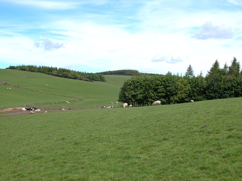
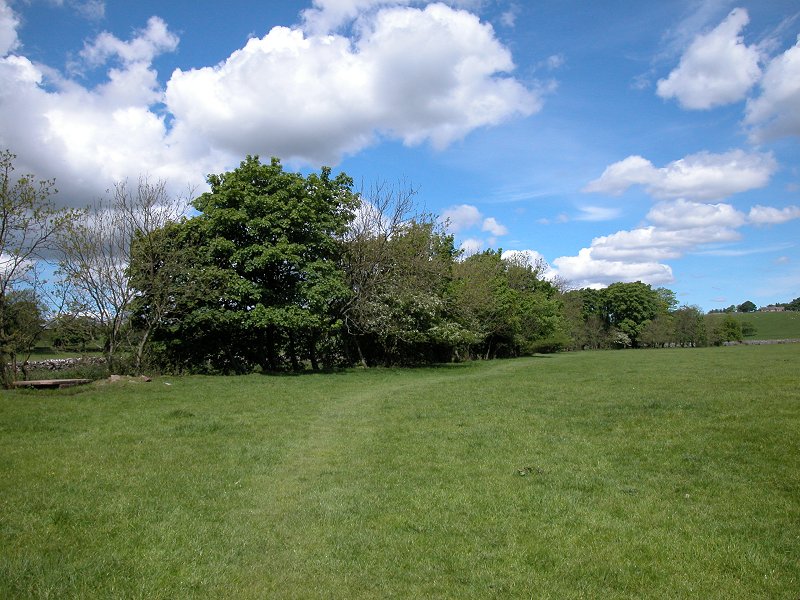
If the path is muddy, the skies are grey and temporary fences confuse your navigating skills, this can be a thoroughly frustrating part of the Pennine Way. But if the sun is shining and the route is sufficiently clear to follow, then it is undoubtedly a rewarding and relaxing stretch. Just keep following the worn ribbon of grass - the images above will tell you roughly what to expect. This is grazing country and you will be watched by clusters of sheep and cattle. Sheep will tend to run off. Cattle might do the same but can tend to be curious and might slowly approach you. A sudden wave of the arms or a shout or two will usually dissuade them. The only thing to beware of is getting between a cow and her calf or calves.


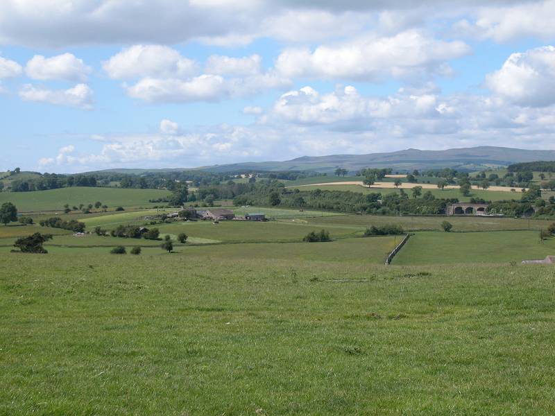
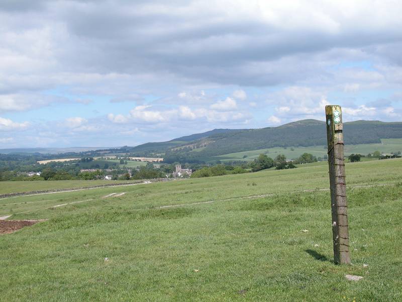
Newton Grange farm; Crickle Brook; Scaleber Hill


approaching Scaleber Hill; looking back at Newton Grange; curious watcher
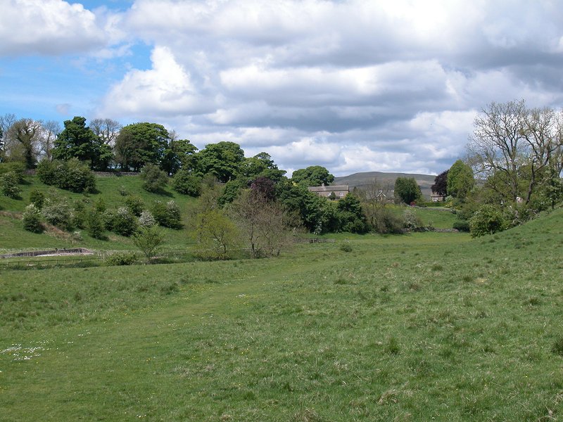
The scenery improves now, and you ascend to a prominent wooden pole that marks the crossing point of two footpaths, the Pennine Way and a local path going east-west. From here Gargrave begins to come into view a mile or so to the north, and if the day is clear you may get a glimpse of Pen-y-Ghent.


Scenes on Scaleber Hill

Descend north eastwards to Gargrave, keeping Scaleber farm just to your left. As you approach the far corner of the pasture you reach a bend in the farm road, which you now follow towards the town. The farm road is a delightful interlude, running first alongside then into a small wood.


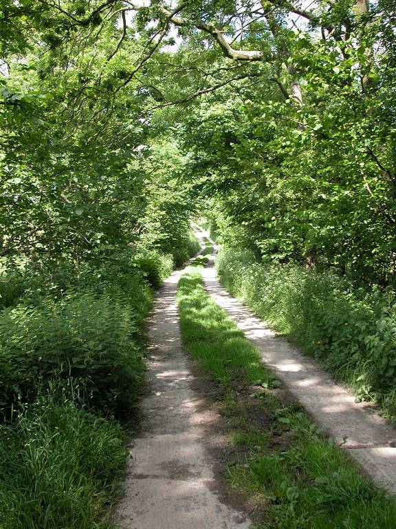
Farm road into Gargrave


The farm road crosses the Skipton - Settle railway line (with Gargrave station in view a few hundred yards to the right). Just beyond the bridge the official route of the PW is shown turning off right to cross a pasture, but this appears not to be used much. It's easier to stick to the farm lane until it emerges into Gargrave's first residential road. Turn right along this road and follow it to the lane leading to the church, then turn left and cross the bridge over the Aire into the centre of the village.

Entering Gargrave


residential roads and the Aire bridge


Riverside scenes in Gargrave
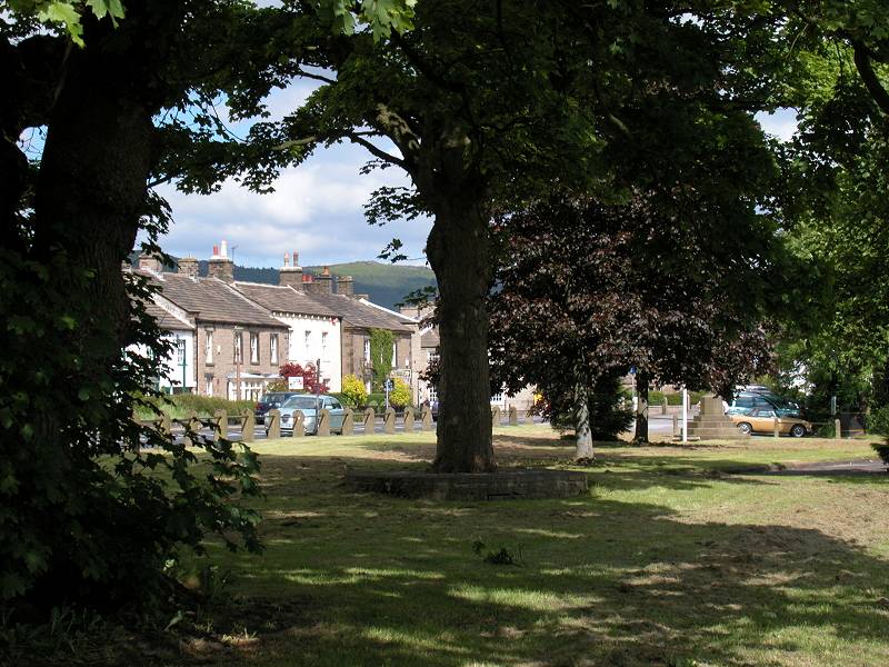
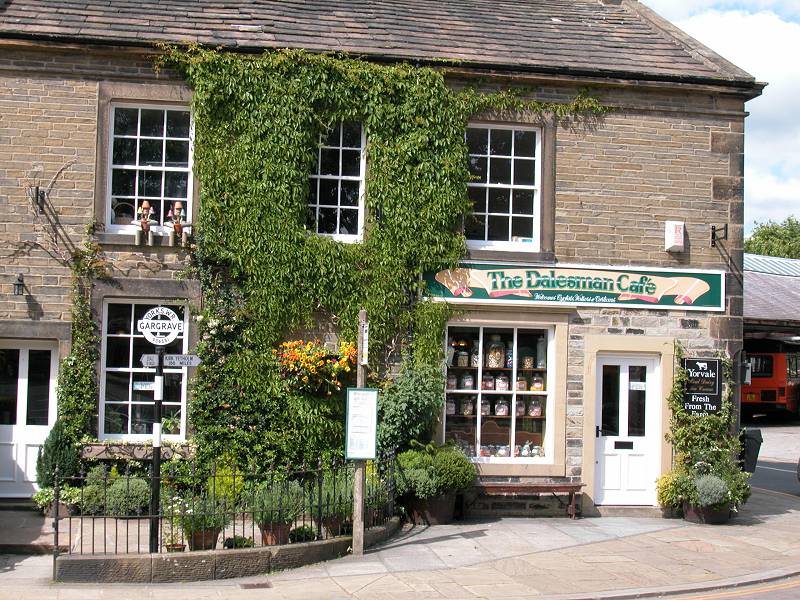
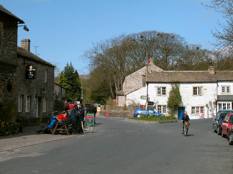
Gargrave is a pleasant enough village and is a useful provision point for Pennine Wayfarers. The Dalesman cafe, right on the corner of the village square, is one of the PW's more famous refreshment halts, and it features a milepost outside. There are several places that offer bed and breakfast, and there are bus and rail services into Skipton.
![]() Pennine
service 580,
Skipton - Gargrave - Giggleswick (Mon - Sat only)
Pennine
service 580,
Skipton - Gargrave - Giggleswick (Mon - Sat only)
![]() Pennine
service 210,
Skipton - Gargrave - Malham
Pennine
service 210,
Skipton - Gargrave - Malham


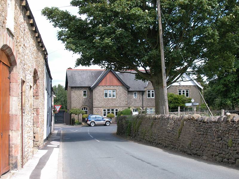
Gargrave village


More scenes in Gargrave
Leave Gargrave by the lane to the north, right by the Dalesman cafe.
Soon aftewards we encounter the Leeds-Liverpool canal again, for the
last time. As it leaves the village
our route twice goes straight on at junctions at which the main road
curves round to the right, to end up following a narrow lane with
a screen of trees to the right.


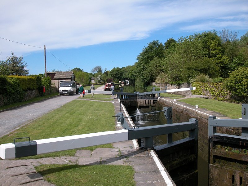
Leaving Gargrave village centre and crossing the canal

Keep straight on at these two junctions


The PW following a lane north of Gargrave
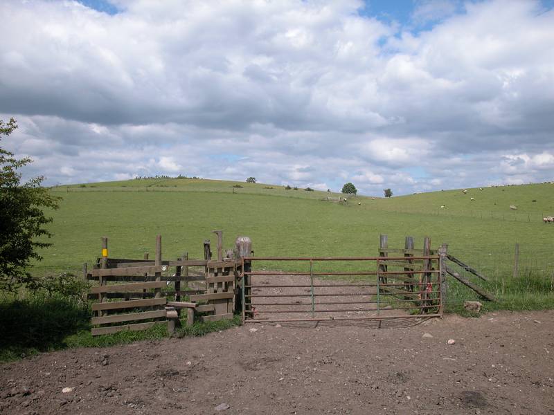
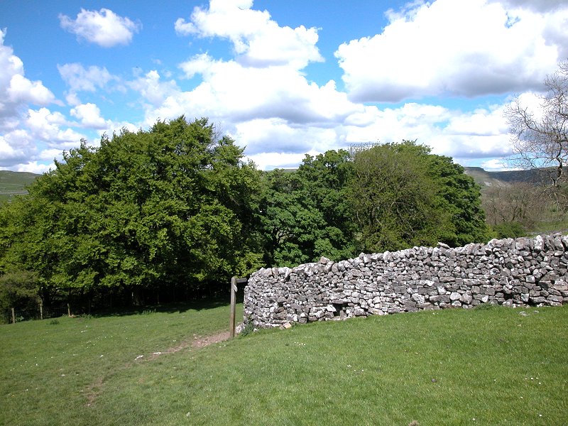
About a mile out of Gargrave, just as you reach the end of the wood standing to your right, look out for a footpath off to the right. The Pennine Way follows this path over a stile and then begins to climb the slopes of Harrows Hill.


Harrows Hill
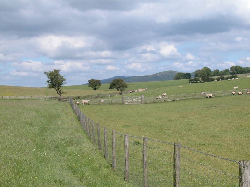
Stay more or less on the highest ground beyond the wood, crossing
into
another pasture, which you cross on the diagonal to reach a stile half
way along its northwestern enclosure. Should you veer too far to your
right to a prominent gate you will doubtless see the sign, "Pennine
Way, next stile". There should be a prominent wall
about 250 yards to your right, running southeast to northwest, with a
wood
the other side; head across the next pasture making for the far end of
the wood (you cross another transverse fence by a stile about halfway),
and converge with the
wall. Now walk alongside the wall until you reach a prominent gate in a
wall corner about 400m
further on. Go through the gate. You've now entered the Yorkshire Dales
National
Park.


The route across Harrows Hill, and a view of Pendle Hill to the west


Entering the Yorkshire Dales National Park


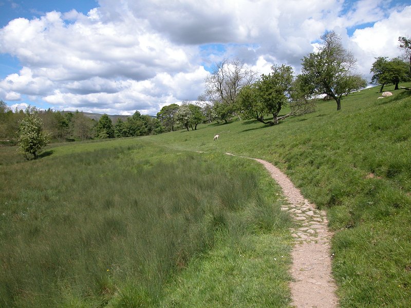
Eshton Moor
The path across Eshton Moor runs for a good mile, descending
alongside
a stone wall for part of the way. You will notice that you are
gradually
converging with the Malham road, and you reach this at the foot of
quite
a steep slope. The Way is now sandwiched in between the road and a
stone
wall around a left-hand bend, whereupon you meet the river Aire once
more.

Descending Eshton Moor


Arriving at the Malham road

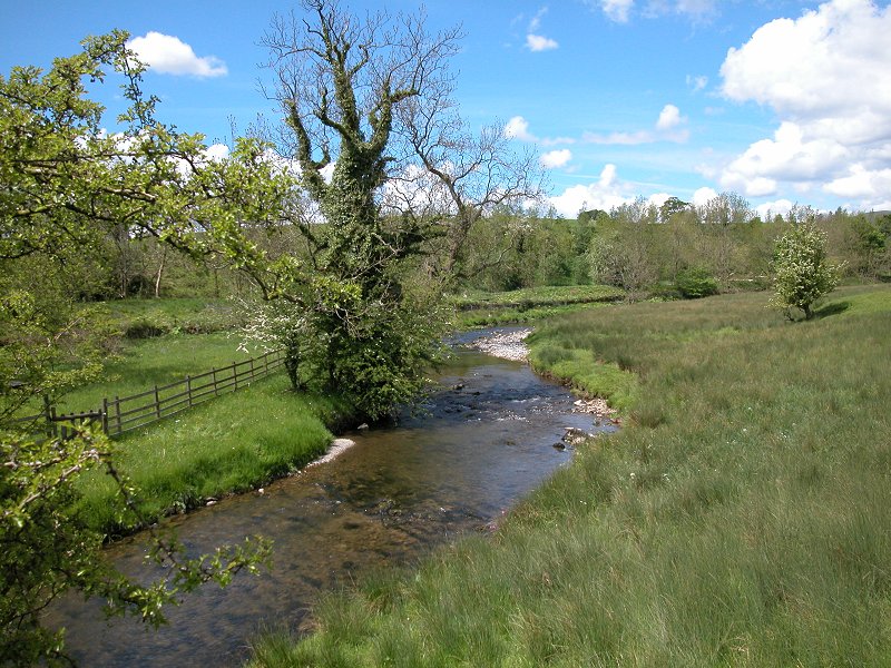
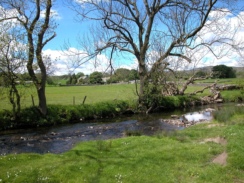
The River Aire


The route throughthe river meadows south of Newfield Bridge


Pennine Way, Newfield Bridge
Turn right along
the road and cross the river by Newfield Bridge, then turn left again
to
follow a series of paths, close to the east bank of the river, towards
the village of Airton.


The Pennine Way between Newfield Bridge and Airton


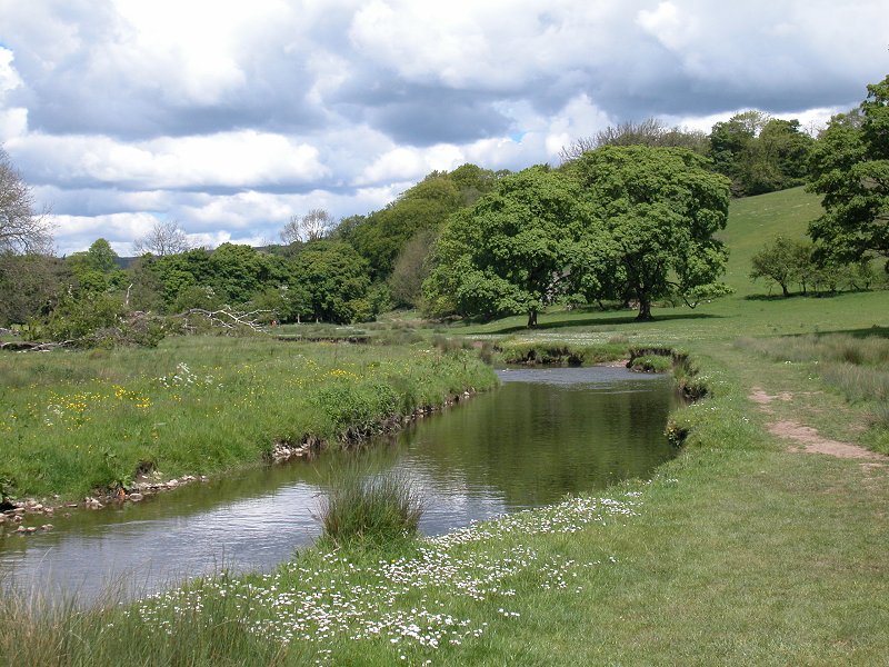
River meadows south of Airton


Approaching Airton


Follow the
Way immediately north of a farmyard and around the brow of the hill
now. The going is surprisingly rough around here, but you are rewarded with
your first views of Malham and the cove, and of Goredale Scar to the
east..The route follows a fairly complex path around walls and patches
of woodland, so follow the map carefully.


|
£6.00
inclusive
of postage / packing. |
| Ponden to Thornton-in-Craven | Back to Pennine Way index | Malham to Dale Head |
This page last updated 10th November 2005


