|
From Auchendryne Square one heads
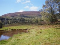
south of west along the high road as far as the duckpond, seen here,.
|

|
Another view of the pond, with
Morrone in the background
|

|
Braemar, seen from the ascent path
|

|
The path, ascending through
Morrone's heather-covered slopes. I was taking my time because of the
heat but I still caught up and passed another walker who was climbing
the hill even more slowly.
|

|
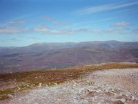
A view began to open out to the
north west across the high Cairngorms.
|

|
As I approached the top of Morrone
the route became less steep and much more stony.
|

|
Just five minutes from the top,
with the summit radio mast clearly in view.
|

|
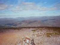
The summit cairn of Morrone. At
2818 ft it's not exactly a pimple, yet I'd reached the top in just an
hour and a half from Braemar.
|

|
Loch Callater, seen to the
southeast. The Lochnagar group forms the skyline to the left.
|

|
The view to the east. The Dee
valleys lays to the left, Lochnagar to the right.
|

|
The view to the northeast. The hill
in the distance is Morven.
|

|
Further round to the northeast.
Part of the Dee valley in the vicinity of Invercauld is visible. The
high mountain to the left is Ben Avon.
|

|
Beinn a' Bhuiridh and Ben
Avon, seen to the north.
|

|
The high Cairngorms to the
northwest. Ben Macdui is just about in the centre of shot.
|

|
The view to the southwest. Part of
Glen Ey is in view, and the principal range of hills is the Carn Bhac
group to the west of this glen. Further afield are the Beinn a' Ghlo
massif to the left and the Glen Tilt hills to the right.
|

|
Further to the southwest we see the
remote group of hills comprising An Socach, the Beinn Iutharns and Glas
Tulaichean.
|

|
The Glenshee hills to the south.
|

|
To make a decent expedition of this
walk I chose to take the vehicle track to the south rather than retrace
my steps. This is a retrospective view back to Morrone from the bend in
the track.
|

|
After the bend, the track runs down
the valley of the Coldrach burn to reach the minor road to the west of
Glen Clunie, just opposite Auchallater. From the higher reaches of the
track, seen here, the Lochnagar massif still dominates the view.
|

|
A mile further on; a big zigzag in
the path gives a view along Glen Clunie towards the Glenshee ski centre.
|

|
The lower reaches of the track. The
side valley opposite is Glen Callater.
|

|
A final look up towards the head of
Glen Clunie. Once I reached the road I had a couple of miles to walk
into Braemar. I made it back around 1pm, nicely in time for lunch.
|
![]()