|
I
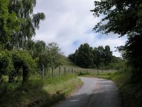
arrived in Blair Atholl at a far more sensible time and set out, along
the same route as the previous day, through Bridge of Tilt to
Fenderbridge.
|
|
From
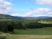
Fenderbridge I walked up the approach road to Tirinie, and it was
pretty steep. I felt every ounce of all the fluid I was carrying. This
is the view northwards along Glen Tilt.
|

|
About half a mile beyond Fenderbridge the Glen Tilt track goes off to the left, headed initially for the farm of Kincraigie.
|
|
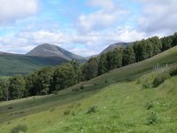
Beyond
the farm the route becomes a simple footpath, crossing pastures en
route for a patch of forest. Seen ahead are Beinn a' Chait and Beinn
Mheadhonach, outliers of Beinn Dearg.
|
|
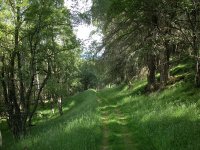
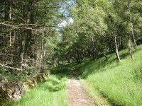
The path enters the forest section...
|
|
...which is a thoroughly pleasant interlude...
|

|
...along which the path keeps to a fairly even contour.
|
|
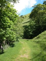
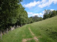
There are many open areas and before long the forest on the right-hand side of the path falls away...
|
|
...revealing the slopes of Meall Dial to the right.
|
|
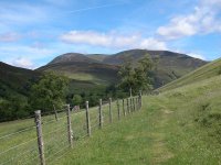
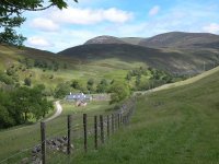
Four kilometres north of Fenderbridge the path comes out into the open.
|
|
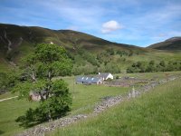
Here you can see down to the Tilt, not far away on the left, and the farm of Auchgobhal.
|
|
Closer to Auchgobhal.
|
|
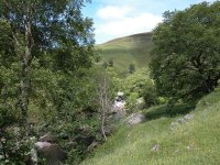
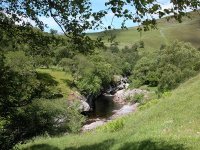
Beyond Auchgobhal the path runs downhill to merge with the main Glen Tilt estate track, which runs close by the river.
|
|
Here the track accompanies the river around an s-bend...
|

|
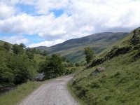
...to emerge into a higher and slightly wilder stretch of Glen Tilt.
|
|
This
is a very pretty stretch. The slopes of the Beinn a' Ghlo massif rise to the right.
|

|
The river's rocky bed adds much to the scenic charm of this area.
|
|
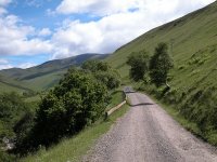
The estate track runs quite high above the river just here...
|

|
…to reach Marble Lodge, which sounds grand but is actually just a simple cottage.
|

|
The estate path just northeast of Marble Lodge.
|

|
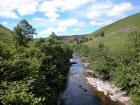
This is Gaw's Bridge, 500 metres beyond Marble Lodge, where the track switches to the north side of the glen.
|
|
The view downstream from the bridge...
|
|
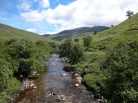
...and the view upstream.
|

|
The river east of the bridge.
|

|
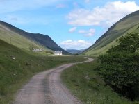
The glen gets a bit plainer out here. This is the locality of Slochd Dail Mhoraisd.
|
|
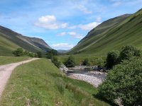
Beyond Mhoraisd the glen enters a straight section and the cottage of Clachghlas is seen ahead.
|
|
Glen
Tilt at Clachghlas. Way down there is Forest Lodge and several miles
beyond that Glen Tilt comes to an end at the watershed, but the path
continues alongside Bynack Burn and the Geldie Burn to reach the Dee
six miles short of Braemar. The through walk from Blair Atholl to
Braemar is a fine full-day expedition. But that's for another time;
here at Clachghlas I was due to turn off left for the hill track behind
the cottage.
|
|
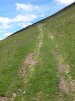
The hill track is steep. Landrovers must really labour up here.
|

|
Slightly further up the track improves but is still very steep.
|
|
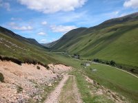
Looking back to Clachghlas and along the glen towards Forest Lodge.
|
|
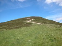
The
track runs around the shoulder of the hill. The map shows it running
back down into the glen beyond but I reckoned that it must link up with
the new track along the southwest spur of Carn a' Chlamain, not marked
on the map but well seen from the summit of Carn Liath the day before.
I was right; here's the new track rising away along the ridgeline.
|
|
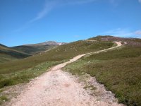
This
new track gives excellent walking and rises at a reasonably easy
gradient but I was really feeling the effort. The sunshine was welcome,
but it was much too hot for comfort.
|
|
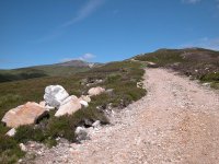
I
needed to stop for frequent rest breaks and found myself drinking
copious amounts of liquid. I was glad now that I'd brought so much with
me.
|

|
It
seemed to get hotter. It was early afternoon now. I took it slowly and
steadily, a couple of hundred yards at a time. I wasn't convinced at
this stage that I could actually make it to the top.
|

|
A look back along the ridge and the view is very impressive - the Ben Lawers group and Schiehallion are already well seen.
|

|
The track continues upwards. It's quite rough in places.
|

|
Despite the slight gradient I'm finding the climb a real effort.
|

|
Only about 800 metres to go now until the dogleg. A view up Glen Tilt.
|

|
The track gets rougher as it approaches the pink screes of Glac a' Bhuic Eairb.
|

|
A retrospective view along the ridge.
|

|
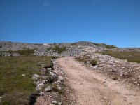
The track approaches an old stone wall high on the ridge.
|
|
The wall is reached, a psychological milestone.
|

|
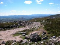
The scene high on the ridge, looking northeast along upper Glen Tilt.
|
|
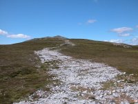
Turning for a last look at the ridge track...
|
|
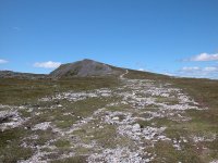
...I turn left for the rougher track up to the summit dome, three quarters of a mile away.
|
|
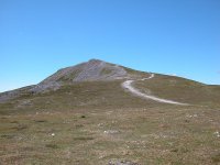
The earlier doubts were cast aside now and I knew I'd make the summit.
|
|
The
summit is a magnificent sight, defended by a steep scree slope on the
south side. To avoid the worst of the gradient I climbed past the peak
and approached it from the rear.
|

|
The
summit of Carn a' Chlamain. My 24th Munro. It was gone 2.30pm. I was
about to have a well-deserved lunch break but first I just had to get a
few shots with the camera.
|

|
The summit cairn, and a view towards Ben Lawers and its neighbours
|

|
Ben Lawers and its outliers again, with Schiehalion to the right. Visibility like this is a rare treat in the Highlands.
|
|
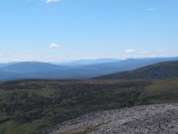
Looking
due west. Those must be the Glen Lyon munros in the centre. To the
right is that same far-off group of peaks seen from Carn Liath
yesterday - either the Glencoe hills or the Mamores, seen along the
lengths of Loch Tummel and Loch Rannoch.
|
|
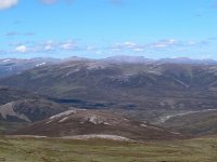
Looking
north now, we have an uninterrupted view of the high tops of the
Cairngorms. That's undoubtedly Ben Macdui in the centre, recognisable
by its eastern top of Stob Coire Sputan Dearg. The Braeriach massif
stands to the left, with cairn Gorm and presumably Beinn a Mheadhoin to
the right. The hill in the middle distance is presumably An Sgarsoch.
|
|
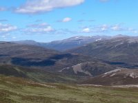
Tracking
a bit to the left from the shot above we see Braeriach and Cairn Toul
to the right. The trench of Loch Einich is obvious towards the left
with Sgor Gaoith rising just west of it.
|
|
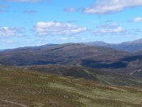
A
scene of magnificent emptiness! Carn an Fhidleir stands in the middle
distance with Sgor Gaoith to its right and Mullach Clach a' Bhlair to
its left.
|

|
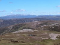
We're
looking northeastwards here. Macdui is to the far left, with Cairngorm,
Beinn Mheadhoin and Derry Cairngorm in the centre. The huge
plateau-like hill to the right is Beinn a' Bhuiridh. Somewhat nearer,
the remote headwaters of the Tarf rise between Carn a' Chlamain and An
Sgarsoch.
|
|
The
remote northeastern tops of Chlamain hide the Tarf valley in this shot.
Beyond, patches of cleared heather mark the slopes of An
Sgarsoch's eastern outliers. Way beyond on the skyline are the twin
plateaux of Beinn a' Bhuiridh and Ben Avon.
|

|
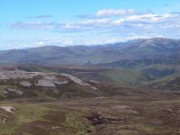
Further
to the right the lonely hills of the Mounth are coming into view; I
don't know this area at al well but we're probably looking at Carn Bhac
and its neighbours. A couple of summits in the Lochnagar group are just
visible beyond.
|
|
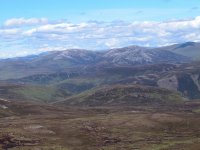
The central Mounth: hills such as Carn am Righ and Beinn Iutharn Mhor are on the right, with more of the Lochnagar group beyond.
|
|
The Mounth hills in the centre of shot.
|

|
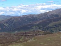
Looking
almost due east here with the Mounth hills still dominating the view. I
don't really know them well enough to put a name to any of them with
certainty. Glen Tilt lays in the dip just beyond the foreground; the
slopes of the Beinn a' Ghlo massif rise to the right.
|
|
South of east across Glen Tilt, the northeastern ridges of Beinn a' Ghlo fill the scene.
|
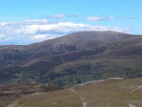
|
Looking south east the huge bulk of Beinn a' Ghlo dominates the view.
|

|
The Beinn a' Ghlo massif. Carn nan Gabhar is to the left, Airgoid Bheinn to the right.
|
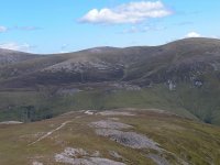
|
Airgoid Bheinn is in the centre of shot and Braigh Coire Chruinn Bhaglain is coming into view to the right.
|

|
That's
Braigh Coire Chruinn Bhaglain, which would have been my second
objective yesterday had I arrived at Blair Atholl at a sensible time.
|

|
The extensive slopes of Braigh Coire Chruinn Bhaglain rise to the left while yesterday's peak, Carn Liath, appears on the right.
|

|
Carn
Liath. Interesting to see East and West Lomond, the twin hills of Fife,
on the skyline to its left. The most distant hills visible to the right
are the Ochils.
|
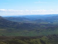
|
Looking southwest across the lesser hills of Perthshire. That's Loch Moraig a few miles away.
|
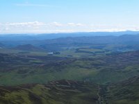
|
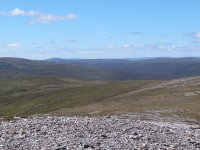
We're looking down towards the lower reaches of the unseen Glen Tilt here.
|
|
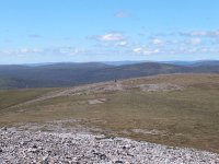
Still
more view to come and now I'm tracking across the northwest arc. The
lonely Drumochter hills are out there and the most obvious top is
possibly A' Bhuidheanach Beag. But I could easily be wrong so don't
quote me on that.
|
|
There's nothing out there! Mile after mile of empty, remote moorland.
|

|
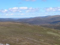
Somewhere out there is Glen Bruar and the remoter reaches of the Forest of Atholl. Few parts of Scotland are less frequented.
|
|
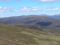
There's
a hint of something big and remote out there on the far skyline to the
left but heaven knows what it could be. The Cairngorms are starting to
appear again to the far right.
|
|
A
last view from the summit before starting back down. Beinn Dearg is in
the middle distance, a remote hill but with a path all the way to the
top, and a possible future expedition from Blair Atholl.
|
|
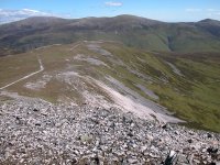
It's
a shame to leave such a magnificent scene but I've a ten mile walk
ahead of me and I need to get back before the trains stop running. Here
I'm starting back down the loose scree towards the track.
|
|
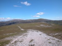
It's much less effort going down...
|
|
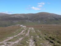
...but I'm really quite surprised by the high temperatures. The clear blue skies are very welcome but the sun is relentless.
|
|
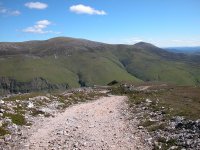
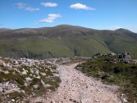
I'm starting back along the main ridge again. Its's amazing that neither the OS nor the Harvey's map show this path.
|
|
It's quite rough in parts but in the main it allows swift walking and one can set a good steady stride.
|
|
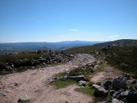
It's two miles back along this ridge, sun-drenched all the way.
|

|
I've had to put my white sun hat on, not something I need to do all that often in the Highlands.
|

|
I'm almost amused at how taxing I found the ascent.
|
|
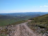
The light is so good here that I just can't help stopping for photo after photo.
|

|
Amazingly, the sky gets ever clearer and the temperature rises. My stocks of fluid are starting to get depleted.
|
|
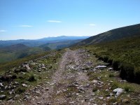
Still another mile to go along the ridge
|
|
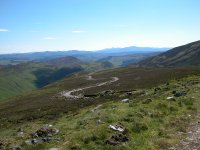
Walking is mainly easy...
|
|
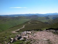
...though there are occasional rougher and steeper sections that impede progress.
|
|
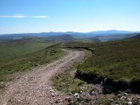
Just about on 4pm now. I should hit the shoulder of the hill in another ten minutes.
|
|
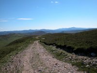
The descent track is starting to drag and I'm wishing the junction would appear.
|

|
This looks familiar - just past that bend I think.
|

|
Yes, here we are. I shall be looking down at Clachglas again in a few minutes.
|
|
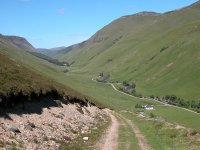
There it is. I've made it down here from the summit in about fifty minutes.
|
|
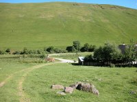
A brief stop for a drink...
|
|
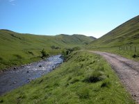
...before I hit the main track and start back down the glen. 4.30 in the afternoon, seven miles to walk.
|

|
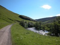
The
scenery is outstanding but there's no doubt that I've passed a
psychological milestone and the day's adventure is behind me. It's now
just a question of getting home and I'm well aware that it will be a
slog. Maybe I'll be lucky again and someone will offer me a lift?
|
|
So
far, however, there's nobody about. I've not seen a living soul since I
was passed by some bloke on a quad bike just east of Marble Lodge this
morning.
|
|
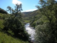
I
had to stop at the Sloch Dail Mhoraisd for a rest and an extensive
swill of ice cold steam water. I drank quite a bit of it too.
Refreshed, I crossed the bridge and approached Marble Lodge once again.
|

|
I
found myself counting down the half miles. There was little else to do
apart from keep putting one foot in front of the other. I was longing
for some shade now.
|
|
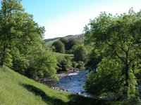
The scenery continued to captivate me.
|
|
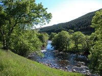
The
Tilt somewhere near Auchgobhal. At this point I eschewed the option of
returning along my outward path but kept to the main vehicle track
along the glen.
|

|
Beyond Gilbert's Bridge the road entered some welcome tree cover and at last I had some respite from the sun.
|

|
A
mile firther down the track crossed to the west side of the Tilt at
Cumhann-Leum bridge and continued through more forest before coming out
into this open section. I guessed I was about a mile short of Old
Bridge of Tilt now. I'd walked five and a half miles from Clachglas and
it was around 6.15.
|

|
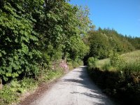
The early evening light was beautiful.
|
|
Not far to go to Old Bridge of Tilt now, surely?
|

|
Another
bit of forest section. Before long, however, I started to glimpse
houses though the trees to my left. The track came out to a motor road
at a gatehouse and I turned left into the village then down the road to
Blair itself.
|
|
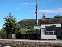
It
was about 7.10 when I arrived at Blair Atholl, tired but happy. The
village shop was still open and I celebrated with an ice cream and half
a litre of fresh orange jiuce before waiting for the 7.50 train back to
Pitlochry. What a magnificent day out!
|
![]()