|
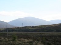
From Dalwhinnie it's first
necessary to walk north along the old A9, now an unclassified by-road,
on the west bank of the river Truim. Meall Chuaich, seen here, is only
five miles away.
|
|
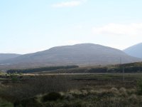
That's
Creag Ruadh, a Graham that stands to the west of Meall Chuaich. |
|
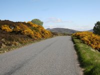
The
old road. There was very little traffic.
|
|
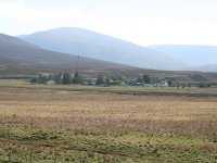
The
tiny locality of Cuaich, through which I'll need to pass to gain the
track to Meall Chuaich.
|

|
The
track crosses both the river and the railway before reaching Cuaich.
|
|
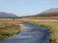
Looking
up Glen Truim from the river bridge. The snow-covered tops in the
distance are the Ben Alder group.
|

|
The
new A9, reached from a slip road up from Cuaich. We're looking
southwest towards Ben Alder. A waterworks track from here goes
eastwards towards Loch Cuaich and is our access to Meall Chuaich.
|
|
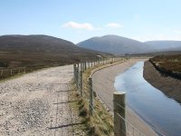
The
map doesn't show the track all that clearly; there are merely
suggestions of it running in parallel with an aqueduct. In actuality
it's a wide, well-maintained gravel road. almost an unsurfced version
of the M4. Except for the traffic, which is nonexistent.
|

|
The
waterworks road rund for some 3.5km. Meall Chuaich is a haed and to the
right; the dip in the middle holds Loch Cuaich.
|
|
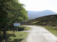
The
tiny Cuaich power station stands here, among a cluster of trees.
|
|
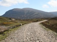
Beyon
the power station the scenery becomes a little more drab, but the
mountain is coming ever closer. I've now covered about two thirds of
the distance from Dalwhinniw station to the summit.
|

|
Looking
south to the eastern Drumochter plateau; that's Carn na Caim, another
Munro.
|
|
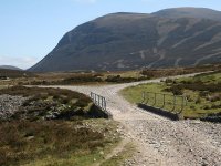
A
bridge, beyond which is quite a complex network of vehicle tracks. Loch
Cuaich lays just to the left.
|
|
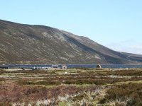
There's
the loch, with its associated waterworks buildings. The hill standing
above it is Creag Ruadh.
|
|
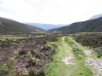
An
estate track continues into Coire Chuaich. The mountain's ascent path
can be seen over to the left. |
|
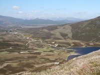
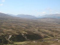
The
scene from a few hundred feet up the ascent path. The waterworks road
stretching back to Cuaich is very obvious and Loch Cuaich lays to the
right. The Ben Alder group dominates the skyline.
|
|
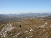
Looking
further south from the same viewpoint. down the line of Loch Ericht and
(further left) into the Drumochter pass.
|
|
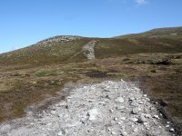
The
path is not shown on the map but it is very obvious and also relatively
easy.
|
|
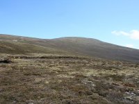
The
summit dome of Meall Chuaich, off to the right.
|
|
Although I'd not seen anyone until
I'd reached the environs of the loch, I was now able to spot several
groups of walkers on the skyline ahead and several more coming up
behind me.
|
|
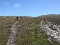
The gradient eased as the path
reached the western shoulder of the hill, with just the climb of the
summit dome to come.
|
|
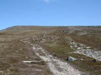
It looks as though there's not far
to go now. But I'm used to Scottish hills and that's probably a false
summit.
|

|
Yes, that's the real summit up to
the right. Still two or three hundred feet to climb.
|
|
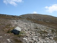
I reached a stony section that
slowed me down somewhat.
|
|
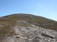
It's always a bit further than you
think. The summit is perhaps ten or fifteen minutes away yet.
|
|
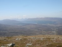
The view is glorious. You can see
Loch Ericht in the distance, with the entire Ben Alder group of Munros
on the skyline.
|

|
The path finally peters out but
it's just a matter of crossing that area of boulders just ahead.
|

|
And here's the summit. Meall
Chuaich, 3120 ft or 951 m above sea level, and my 34th Munro.
|
|
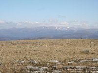
The first image of the summit
panorama, looking ENE towards the high tops of the Cairngorms. I'm
unable to name any particular summit from this angle.
|

|
The view slightly south of east.
It's not easy to identify what we're looking at but on the right of
shot is the shoulder of Bogha-Cloiche and just beyond that are the
crags known as Creag Liath; Loch an t-Seilich and Gaick Lodge lay in
the dip between them, unseen. The hills in the distance above the crags
are Beinn Iutharn Mor, the Cairnwell group and Glas Maol. Carn a
Fhidhleir is in the centre of shot. The vaguer lump on the skyline to
the right is Lochnagar.
|
|
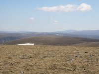
This view, more or less ESE, is
more difficult to pin down. We're looking across the great emptiness of
Gaick Forest and the drainage area of the Tarf. The
hills on the skyline to the right appear to be Beinn Dearg, Carn
a'Chlamain and the Beinn a'Ghlo massif.
|
|
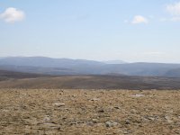
The southeast aspect; Beinn a'Ghlo
stands to the left, and I believe the peak on the skyline just right of
centre is Ben Vrackie.
|

|
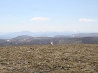
We're looking south-southeast here,
but without a proper panorama it's difficult to identify anything. The
skyline to the right is presumably Ben Chonzie and its neighbours but I
can't even guess at the shapely range of hills on the left - perhaps
the Farragon Hill group? |
|
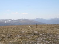
The view to the south. On the left
of shot is the Corbett of An Dum, with Schiehallion rising directly
behind. To the right are the Glen Lyon and Ben Lawers groups.
|

|
To the south-southwest we're
looking at Ben Lawers and its neighbours to the left, while on the
skyline to the right are the Mamlorn hills. It's possible that Ben More
and Stobinian are in there too. I can't identify the little bump about
ten miles wway just right of centre.
|
|
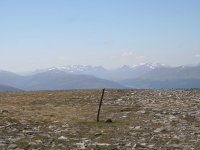
The view to the southwest, over the
Drumochter Munros. The hill to the left in the middle distance is Carn
na Caim while further away, just to the right of centre, is A'
Mharchnaich. Sgairneach Mhor lays to its left. Ben Alder is coming into
view on the far right.
|
|
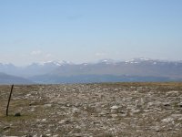
This shot is centred slightly west
of southwest and shows the Ben Alder group to its full advantage. A
stretch of Loch Ericht can be seen just to the right of centre, so the
prominent dip in the skyline in the centre od shot is the pass between
Loch Pattack and Loch Ossian. Ben Alder itself lays to the left of this
notch, and the Geal Charn - Aonach Beag ridge lays to the right. Nearer
to, on the left, is another of the four Geal Charns; the one
overlooking Drumochter from the northwest.
|
|
The west-southwest view. To the
left are Geal Charn and Aonach Beag. In the centre of shot is Beinn
a' Chlacair. Dalwhinnie lays in the same direction, of out sight down
in the valley.To the right is the third Geal Charn (the one by Loch
Pattack), with the Grey Corries and Ben Nevis way over to the right in
the far distance.
|
|
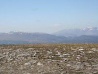
The view due west. The Loch Pattack
Geal Charn and the distant Ben Nevis are to the left. In the centre of
shot is the dip in which Loch Laggan is situated. Creag Meagaidh is
coming into view to the right.
|
|
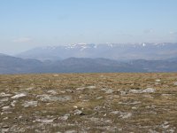
The greater Creag Meagaidh range is
seen in this shot to the north of west. Meagaidh itself lays to the
lett, with Stob Poite Coire Ardair to the right. More or less in the
centre of shot the well-known "window", the bealach between the two
Munros at the head of Coire Ardair, is distinctly seen.
|

|
The lesser Monadhliath hills are
seen here in the northwestern view.
|
|
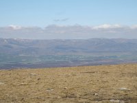
We're looking almost north here;
Newtonmore, in the upper Spey valley, is prominently in view.
|

|
Kingussie is seen in this shot to
the north-northeast.
|
|
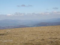
Looking due northeast towards
distant Aviemore.
|
|
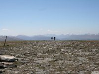
I had my lunch sitting with my back
to the summit shelter. Quite a few walkers came and went.
|
|
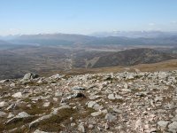
I started back down.
|

|
After the boulder field, the path
came into view again.
|

|
The descent was swift and before
long I was almost back at valley level.
|
|
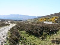
Back at the aqueduct track. The
tiny Cuaich power station is seen ot far ahead.
|
|
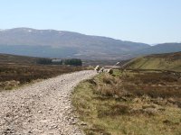
A closer view of the power station.
|

|
Looking back at Meall Chuaich. Did
I really just climb that?
|

|
Cuaich power station.
|
|
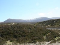
Carn na Caim.
|
|
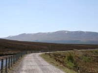
I made steady
progress along the waterworks track
|
|
I had a nasty shock
as I approach Cuaich; the A9 road was deserted and all the traffic had
been diverted onto the old road, which of course was my route back to
Dalwhinnie station. I didn't know at the time that there was an
alternative route to Dalwhinne, along the rest of the reservoir track.
Dodging heavy lorries and a pair of abnormal loads on the old road ws a
bit of a nightmare and took a good hour. Nevertheless I was still back
at Dalwhinne station nearly two hours before the next train.
|
|
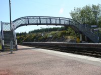
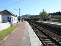
I couldn't find any
facilities in Dalwhinnie; no cafe, no shop, not even a public
convenience. At least the wait at the station was quiet and pleasant,
even if I did have to withdraw to the waiting room for the second hour
to escape the increasing wind. I was back at Blair Atholl in good time
for an evening meal.
|
![]()