 |
The ascent begins at the head of
Loch Long
and ascends through a section of forest, then heads directly up the bed
of an old tramway apparently constructed for a waterworks project in
the
nineteenth century. At the 300 metre contour the tramway meets a level
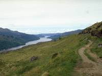
vehicle track which is followed to the left. This is the view from that
track, overlooking Loch Long. |
 |
The track curves right to enter
Coire a Balachain,
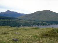
between Narnain and Ben Arthur. The view to the rear is already
extensive.
Arrochar appears far below on the opposite shore of Loch Long. Ben
Reoch
stands behind the Tarbet glen to the right, while Ben Lomond's
characteristic
topknott rises to the left behind loch Lomond (unseen). |
 |
Ben Arthur, otherwise known as the
Cobbler,
stands on the opposite side of the corrie. Although it is not high
enough
to be a Munro it is one of the most celebrated peaks in Scotland. Its
summit
crags are a hard scramble and cannot be scaled by the ordinary walker. |
 |
The main Coire a Bhalachain path is
heading
for Ben Arthur and it's a sloppy and rather indistinct route that heads
past the Narnain boulders up to the col between Narnain and Arthur.
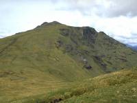
Beinn
Ime, seen here, rises northwest of the col and looks as though it could
be ascended without difficulty. The route curves around towards the
Bealach
a Mhaim between Ime and Narnain over wet ground, but well before the
actual
col a path is found ascending the rear flank of Beinn Narnain just
south
of east. |
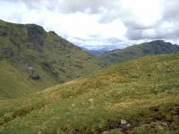 |
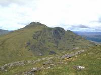
Still looking back at Beinn Ime as
I ascend
Narnain. Ben Vane (properly, Beinn Mheadhoin) can be seen to the right.
This shot is looking almost due north. |
|
No mountain ascent is ever
completely straightforward.
The path ascends fairly easily to a shelf but then peters out. To the
left
is a sloping boulder field that must be tackled to attain the summit
dome.
The view back to Beinn Ime. |

|
The boulder field isn't actually
too awkward
and soon gives way to turf again. The best views are still to the
north,
with the bulk of the central Highlands now in view to the right of
Beinn
Ime. Sadly, I couldn't put a name to any one of those peaks. |
|
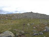
Suddenly the gradient levels out
and the
summit cairn is seen not far ahead. |

|
The summit of Beinn Narnain, 626
meters or
3038ft above sea level. The Ordnance Survey trig pillar is seen a
hundred
yards to the east, with Ben Lomond's summit dome poking up to the left. |
|
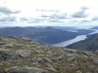
The view from the summit down the
length
of Loch Long. |
|
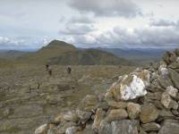
Summit panorama 1. The view to the
north
northwest, with Beinn Ime to the left and the central Highlands to the
right. |

|
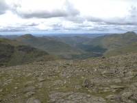
Summit panorama 2. Looking
northwest. |
|
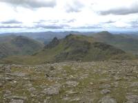
Summit panorama 3. Looking west. |
|
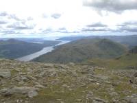
Summit panorama 4. Looking
southwest to Ben
Arthur. |
|
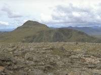
Summit panorama 5. Just west of
south, with
Loch Long dominating the view. |
|
Continuing the panorama from the
north northwest.
Beinn Ime again. |

|
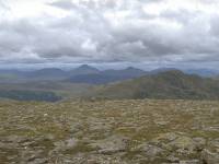
Summit panorama 7. To the right of
Beinn
Ime, looking across Gleann Uaine (the green valley) towards the north
Argyllshire
mountains |
|
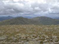
Summit panorama 8. Just about due
north here.
Ben Vane is to the right. The prominent peaks in centre shot are most
likely
the Ben Lui group south of Tyndrum. |
|
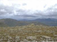
Summit Panorama 9, looking north
northeast
to Ben Vane (left) and the Argyllshire Ben Vorlich (right) |
|
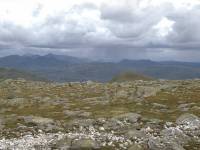
Summit panorama 10. Northeast into
Glen Falloch,
at the north end of Loch Lomond. A shower can be seen in the glen. The
Falloch Munros (including An Caisteal and Cruach Ardrain) form a
compact
group to the right, while the twin summits at the back are very
probably
Ben More and Stobinian. |
|
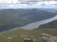
Summit panorama 11, looking east
northeast.
The Glen Falloch hills are to the left, with the rather lonely north
Trossachs
hills to the right. |
|
Summit panorama 12. Just east of
south, looking
down at Loch Long. |

|
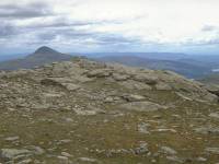
Summit panorama 13, to the
southeast. Loch
Long is to the right. The southern end of Loch Lomond peeps over the
top
of Ben Rioch and Beinn Bhreac. |
|
Summit panorama 14. East southeast
aspect,
looking across Narnain's east top towards Ben Lomond. |

|
I was now debating a descent route.
Go back
the way I came or have a look at the direct (southeast) face of the
hill?
Loch Long seen from the col between Narnain's main summit and east top. |

|
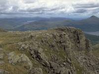
I've arrived at the rather fearsome
looking
crags at the southwestern edge of Narnain's summit dome. The biggest
one
is called the Spearhead. The path goes straight down into that gully in
front, and I could see its continuation across the lower ridge about
half
a mile away. Still dubious. |
|
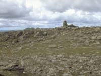
The Spearhead. I was just making
sure of
my position here. The gully was nasty enough to make me think twice. |
|
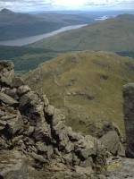
A look back at the summit trig
point. I could
always go back that way... |
|
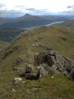
...but this is the obvious descent
route,
no matter how fearsome it looks. I decided to try my luck and go as far
as I thought prudent. Six-point contact was necessary (for those
unfamiliar
with hillwalking, that basically means sliding down on your bum). |
|
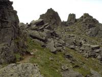
The gully is what the guidebooks
call "interesting"
or "challenging". It's a bit of a scramble and there is no dignified
way
up or down. The descent heads straight down between the crags. |
|
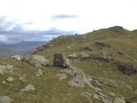
The gully from below, looking
straight up
at the Spearhead. It's steeper than it looks in the photo. |
|
A short respite as the path heads
out across
this shoulder. To get here was tricky - the path appears to head over
to
the southwest and it appears that it's going to drop straight into the
Coire a Bhalachain. Just before the lip of the slope it twists back
again
to duck under an overhanging rock and you have to climb through the gap
at an angle of forty five degrees. |
|
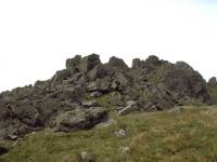
Looking back at the Spearhead again
from
the same point. |
|
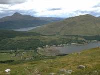
Arrochar comes fully into view for
the first
time at about 1800ft. The path has dropped down several steep sections
and each of them has its tricky moments; rock outcrops, waterslides,
miniature
crags. Each obstacle is a mild scramble and requires care. the net
effect
is tiring. I'm glad I wasn't coming up this way. |
|
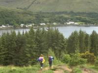
Difficult to the last, the path
drops across
another awkward rocky bit to reach the old waterworks track - then
descends
the concrete blocks of the old tramway bed. Awkward to climb, they are
murder coming down and every step jars the knee and ankle joints. |
|
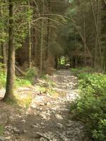
The final couple of hundred feet
through
the forest. Even this far down, every step is a potential accident and
it would be all to easy to sprain an ankle. |

|
Made it at last! Back in Arrochar
for a nice
pot of tea. That's A Chrois in view, a Corbett just northeast of
Narnain. |
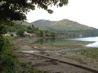
|
A last view of Arrochar. I had a
climb of
Ben Lomond in mind for the Sunday but I found myself developing a nasty
sore throat on the way down from Narnain. By Sunday morning it had
developed
into a cold, I felt like sh*t, and decided to abort the trip and come
home
a day early. A great pity, but at least I could claim a tenth Munro. |
![]()