Leaving Heathfield Park.
Bramley Bank
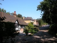
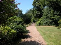
Lane to Bramley Bank
At the far end of this short lane the
path disappears into an area of woodland known as Bramley Bank, a local
nature reserve. A short distance into the wood brings you to an open
area to your left, with views across farm country to New Addington.

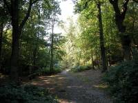
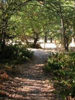
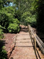
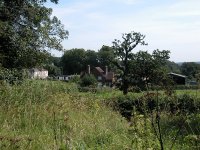 Bramley Bank nature reserve
Stay on the path through the wood until
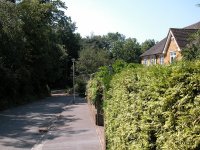
you come to the end of a residential road, go slightly left along this
road, then turn right again into Littleheath.
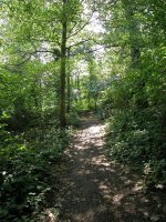
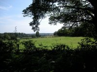
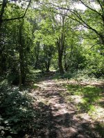 Bramley Bank
Littleheath Wood

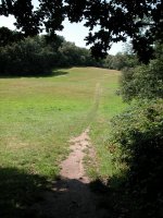
Littleheath
Your new path runs slightly downhill for
a few paces and then comes out onto a stretch of grassland. Walk nearly
all the way across it, and then turn left into the trees by a bench
seat. You're now on a path through a little ribbon of woodland poking
into the locality of Selsdon. You'll notice houses to either side
through the trees.

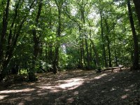

Littleheath

Littleheath Wood
Eventually you come out onto a little
green. There is potential for confusion here - the correct route of the
LOOP goes to the right immediately before the green, along a path just
within the trees, though it is poorly maintained and rank with
vegetation. After about a hundred meters you come out onto the busy
Selsdon Park Road.
Selsdon

The Green
Cross the road into Ashen Vale, a
residential road. After a short distance the road turns right, but the
LOOP continues straight on, along an old bridleway that has been
preserved among the new housing developments on either side. Proceed
along this path, running between hedges and fences. The bridleway
continues across two roads and eventually disgorges you into Selsdon
Wood.
 The Selsdon bridleway

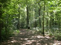

The bridleway and Selsdon Wood
The path runs right through Selsdon Wood
to the south east, a distance of around 800 meters. It emerges adjacent
to housing and open fields, at which point you turn right to follow the
track. Trees soon enclose the track on both sides once again. This
track marks the boundary between Croydon and Surrey, one of the few
points where the LOOP actually runs along the Greater London boundary.
Here, it's coincident with the Tandridge Border Path (Tandridge being
the district council area to your left), and also the Vanguard Way.

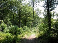


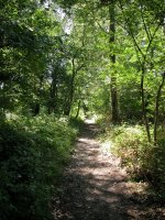
Selsdon Wood
Moorcroft
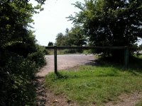
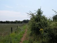

The approach to Elm Farm
The LOOP, Tandridge Boundary Walk and
Vanguard Way emerge from the woods and follow a short track to a road.
Strictly speaking we're outside Croydon and within Tandridge district
now, but it seems silly to create another page just for the short
incursion into Surrey. Cross the road and follow a track southwards to
the locality of Moorcroft.
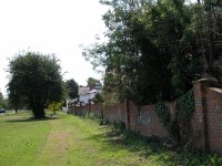

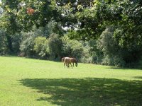
Moorcroft and the track by Elm Farm
Walk over the small green and find the
track immediately beside Elm Farm. This is a delightful stretch,
running between hedges, fields and pastures. It drops down to a dry
valley then rises quite steeply through a patch of woodland, then runs
past more fields to cross a stile into Kings Wood.
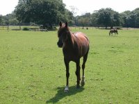


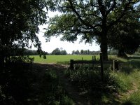
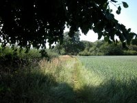

The route from Elm Farm to Kings Wood
Once across the stile you're back in
London again. Turn left and follow the track, past Kingswood Lodge and
around the edge of Kings Wood. Once again this is an especially
pleasant stretch. After about 400 meters the track becomes a
residential road. Follow this to the centre of Hamsey Green.
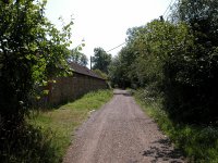
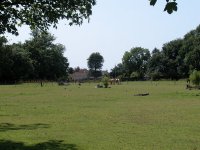

The LOOP near Kingswood Lodge
Hamsey
Green
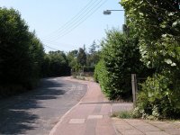


Entering Hamsey Green
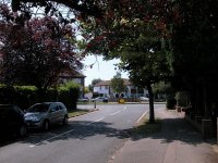
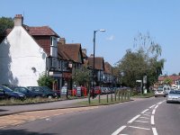
Hamsey Green
Hamsey Green turns out to be a busy
little place. An outpost of Selsdon, it has a good number of shops
(including two cafes) and a bus service into Croydon should you wish to
break the walk here. At the crossroads there's a pleasant little green
ahead of you beside which is the Good Companions pub, and on the east
side is Hamsey Green pond, with a small surround of grass and shrubs.
Unfortunately neither the green nor the pond environs have any seating.
The Croydon - Surrey
boundary runs straight through the middle of Hamsey Green and you
follow it again now as you cross the road beside the pub into Tithe Pit
Shaw Lane. The right side of the road is in Croydon and the left side,
complete with its school, is in Surrey. At the end of the road a
sizeable area of rough pasture is spread before you.
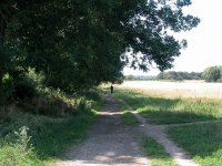


Dipsley's Shaw
The pasture is known as Dipsley's Shaw.
Follow the track running onwards from the end of the road, along the
north side of a hedge initially. Once again you're back in Surrey, the
boundary having run along the back of the houses behind you to your
right. It subsequently follows the next field boundary westwards and
you converge with it once again, crossing back into Croydon as the
track turns half right to run northwest.
Kenley
The Whyteleaf
valley now appears down to your left, at the foot of a slope of grass
and scrub known as Skylark Meadow. The LOOP is going to run around
three sides of this meadow but first it passes an Ordnance Survey trig
pillar, the only one on the LOOP, marking a surveyed height of 160
meters above sea level.
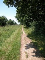


The LOOP above Kenley, and the trig pillar
Look out for a prominent hedge to the
left, at which you turn to run downhill along the edge of the pasture
towards Kenley. The path drops quite steeply, but after only 200 meters
or so you turn left again, to run down the slope at a much shallower
gradient. The lower slopes of Skylark Meadow have fenced-off areas in
which sheep graze. There are a number of paths and ultimately it
doesn't matter which route you choose for it will eventually converge
with a substantial track knows as Riddlesdown Road.
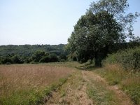
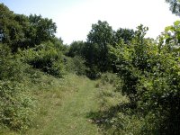
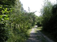
Skylark Meadow and Riddlesdown Road
Riddlesdown Road was a majot
thoroughfare from London to Lewes and Brighton back in the days of
horse travel, but now it has reverted to a bridleway and can be enjoyed
in peace. It heads east of south, dropping gradually to cros a railway
line and come alongside the back gardens of Kenley.
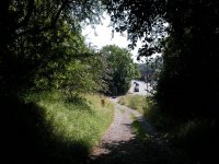
Riddlesdown Road reaches the main
road at Kenley
The track merges with the main road soon
after. You don't see much of Kenley - cross the main road to take a
lane that crosses a second railway line by a footbridge, continue past
a school and then cross another main road into New Barn Lane. At the
end of this short residential road an alarmingly steep flight of steps
takes you back out of the valley up to the downs.
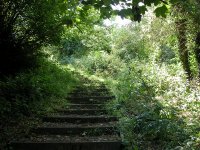

New Barn Lane and Kenley Common
After the brief suburban bustle of
Kenley all is sudden peace and quiet up here on the downs. Our route
runs steadily onwards through semi-open woodland. About 500 meters
beyond the last houses of New Barn Lane it's necessary to form left
onto what appears to be a lesser track. After a short section of
woodland you emerge at one corner of a fenced-off open field. Using the
gates, cross this field on the diagonal to enter another short section
of tree cover. Beyond the trees you merge with another track and turn
half right to follow it. It becomes Golf Road, a pleasant drive with a
scattering of properties either side.


Kenley Common and Golf Road
Old
Coulsdon
Golf Road ends at a busy road just south
of another part of Kenley. Go to the right to follow the road north fpr
about 200 meters, but before the first houses find a footpath off to
the left. This is the locality of Betts Mead. The path opens out onto a
grassy meadow with houses just visible to the left. Keep near the
left-hand edge of the field and pass through a gap into another field.
Stay near the left hand edge once more. At the far side of the field
there's a little flight of steps down into a lane, not far from the
Wattenden Arms pub.
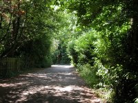
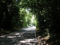
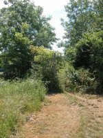
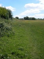 The LOOP at Betts Mead
This
is a confusing spot. You reach the lane at a bend, a track goes off to
the south west and a field-side footpath leaves to the south. It's easy
to take the track by mistake but in fact the footpath (which goes off
half left as you reach the lane) is the correct route. Follow the path
close to the edge of the field, making more or less for a white dome a
couple of hundred metres ahead. This is a bit of an unkempt and untidy
area, once part of Kenley Airfield's outbuildings. You converge with a
drive (third image below).


 Scenes just west of Kenley airfield
The
drive enters a
copse of trees and here the official line of the path goes half right
for a narrow, winding route through the undergrowth that is difficult
to find. More likely you will follow the drive to a junction of lanes,
at which point go to the right. Both this track and the official route
through the undergrowth converge, and LOOP waymarks point you downhill
along Waterhouse Lane. At the far end of the lane cross the road (first
image below) and walk uphill along Rydons Lane.
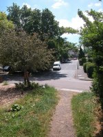

Rydons Lane
Rydons Lane is a good
deal more rural than the map would suggest. It's narrow, windy, and for
the most part consists of open ground to the right and a number of
secluded and occasionally opulent houses to the left. I was impressed
by some of the gardens and water features. At the top of Rydons Lane
you cross a road into Coulsdon Common and follow a wide track through
the trees.
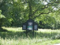


Coulsdon Common
After about 300
metres you reach a main road. There's a bus route to Croydon should you
wish to break the journey here. Cross into Fox Lane, pass the Fox pub
on your left, and follow the lane through a slight right-left dogleg
adjacent to a car park. Now you find yourself walking along a straight
track alongside a ribbon of trees with a huge open pasture to your left.
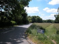
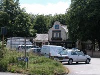 Fox Lane
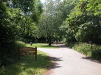

 The Fox Lane car park and the track alongside the pasture
This track runs
for half a kilometre and is pleasant enough in itself, but it turns out
to be just the precursor to some of the finest downland scenery on the
LOOP. It approaches and converges with Happy Valley, a beautiful
interlude of sloping grassy meadows, crisscrossed by hedgerows, dotted
with trees and fringed by woodlands.


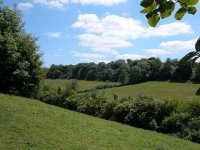
Happy Valley
There's a great
many footpaths over the downs of Happy Valley, and to be honest you
could choose to walk anywhere you like as it is open country. The
approved route, however, is obvious from the map and slants downhill
to a junction of hedges then uphill again on a prominent chalky
track, to run adjacent to the edge of the wood for a few hundred
metres.


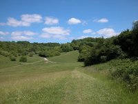


The downland scenery of Happy Valley
The path
enters Devilsden Wood eventually, and there follows a pleasant
walk through woodland scenery on a broad track heading gradually
uphill. Eventually the track breaks out from the tree cover to disgorge
you onto the grassy ridge of Farthing Downs.


 Devilsden Wood


 Farthing Downs
You emerge onto
Farthing Downs at a car park. There's a toilet block here, and there's
usually a van selling teas and light snacks, a welcome facility as it's
the first refreshment outlet on the route since Hamsley Green. Farthing
Downs is a long, narrow hill ridge sandwiched between the built-up bits
of Coulsdon on either side. Views are extensive and semi-rural. A motor
road runs along the ridge but no doubt you'll wish to a void it and
take a line off to one side; the west is preferred for the superior
views.


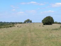

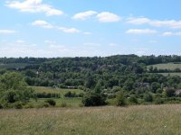
Farthing Downs
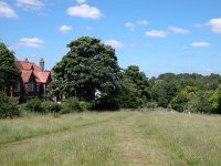
You come to a
group of beech trees at a path crossroads, a spot known as the Folly.
One of the trees is the sole survivor of an original group of seven
planted in 1783. A fingerpost gives you the destibnation of each track,
and there is a pretty good view over Greater London from here. Continue
northwards and downhill along the narrowing wedge of downland to reach
the first residential road in Coulsdon.


The Folly

Arrival at Coulsdon
Once you reach
the first residential road follow it out to the main road, and walk
along this a short distance until you see Reddown Road on the left. A
littlw way along here is a footpath giving you access to Coulsdon South
railway station.

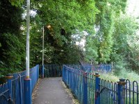
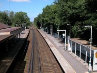
Coulsdon South station
Coulsdon South
has trains to Croydon and central London, and is a good point at which
to end a walking section. To continue the walk cross the footbridge to
the London-bound platform and walk out to the forecourt. An adjacent
taxi firm has a hot drink vending machine in their foyer that the
public can apparently use, otherwise the town itself (about five to ten
minutes walk to the northeast) has shops and a couple of cafes.

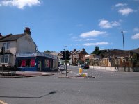
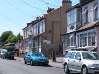
The LOOP in Coulsdon
There's a fairly
big road junction immediately beyond the station, and in 2005 when I
walked this section some major civil engineering works were in progress
in connection with a second railway line bypassing the station. Get
yourself past all this to the edge of the town proper and go left at
the fork (first image above) into Lion Green Road. At the top end
of this road there is a complex junction. Negotiate the lights and the
traffic to take the road going half left uphill, Woodman Road (second
image above). A short distance along, find a footpath to the right
(third image above) that takes you over yet another railway line to
deposit you on Woodmansterne Road.

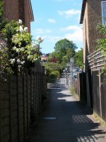
 Railway crossing and Woodmansterne Road
Turn left onto
the road for about 100 metres and then go half right. This is still
Woodmansterne Road and it climbs steadily uphill. In about 500 metres
it reaches the borough boundary and here you pass out of Croydon and
into Sutton.


Woodmansterne Road







![]()