 |
It's
June 1989 and my walking companion Graham and I are undertaking a walk
in an unfamiliar area, the fells around Kentmere in the far east of the
Lake District. We're planning to do as much of the Kentmere Horseshoe
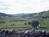
as we feel able. This is a scene at the village of Kentmere.
|
 |
We're
going to tackle the walk clockwise, starting with Yoke. The approach
takes us along this track, the Garburn Pass, a pedestrian route between
Kentmere and Troutbeck.
|
 |
It's
three miles from Kentmere to Yoke. At the top of the pass (1475 ft) the
route turns right along the ridge to ascend Yoke. Here, we're nearing
the summit.
|

|
The
summit of Yoke, elevation 2309 ft. Yoke is just the first of several
tops along the ridge and we were soon on our way to Ill Bell, the
second.
|
|
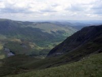
From the col between Yoke and Ill Bell we're looking down into the Kentmere valley.
|
|
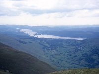
Ambleside and Windermere seen from the same point, to the south west.
|
|
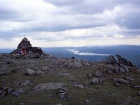
A
reascent of 300 ft from the col brings us to Ill Bell, higher than Yoke
at 2476 ft. Ill Bell is a shapely little pyramid of a fell and all
approaches are quite steep. From Ill Bell we contiued further north
along the ridge, heading for Froswick.
|
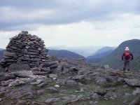 |
Froswick
is a kilometre north of Ill Bell and is slightly lower, at 2359 ft.
Like Ill Bell it is a shapely peak and the approaches along the ridge
are steep. I can't be sure whether this is a picture of Froswick or a
second shot of Ill Bell.
|
 |
This
picture is definately from Froswick and shows the view back along the
way we've just come. The profiles of Ill Bell and Yoke are well seen
and from here the significant switchback nature of the ridge is
obvious.
|
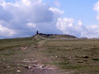 |
A
further mile to the north along the same ridge brings us towards the
tall, columnar cairn of Thornthwaite Crag. It's a significant top, at
the junction of four ridges, 2569 ft high.
|
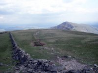 |
Looking back at Froswick from Thornthwaite Crag.
|

|
Looking west, over towards the Scafells and Gable.
|
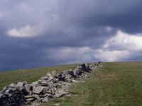 |
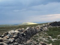
From
Thornthwaite Crag the Kentmere Horseshoe curves around to the right to
head for Mardale Ill Bell, but a diversion of a mile to the north will
bring is to High Street, the highest fell of the Far Eastern group.
It's just a matter of following the wall.
|
|
Near
the top of High Street, 2718 ft. The fell gets its name from an old
Roman road that ran along the ridge. The fell is also known as
Racecourse Hill, horse races having apparently been held on the broad
grassy summit.
|
|
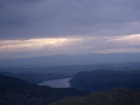
Way over to the northeast is Haweswater, with the profile of the Cross Fell group in the Pennines beyond.
|
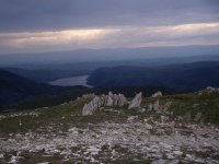 |
We're heading back to the southeast now for Mardale Ill Bell, not quite a mile away. Here's another shot of Haweswater.
|
|
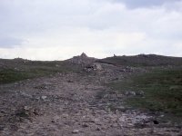
Here we're approaching the summit of Mardale Ill Bell, 2496 ft high and our sixth fell of the day.
|
|
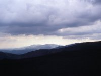
Looking
over to the west we see that there's some adverse weather approaching.
We could go on to "bag" the last two tops of the Horseshoe, Harter Fell
and Kentmere Pike, but we think we've done the day justice. At the col
between Mardela Ill Bell and Harter Fell we will find the track of Nan
Bield Pass, which will take us back to Kentmere village and the car.
|
|
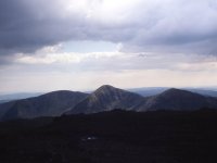
A
final glance to the west, where Yoke, Froswick and Ill Bell are seen in
profile and their neat pyramid-shaped tops can be appreciated.
|
![]()