 |
Rosthwaite
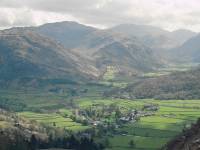
Grange Fell, elevation approx. 1363ft, occupies about 5 square km of land eastwards of the village of Grange, at the head of Derwentwater, It's bounded by the Derwent in the west, by Ashness Gill in the east, and by the Rosthwaite - Watendlath footpath to the south. It's this footpath, starting from Rosthwaite, that offers the best way up. This is upper Borrowdale from the path. |
 |
Rosthwaite
- Watendlath path
Rosthwaite and Upper Borrowdale - and already there's a view
encompassing
Great End, Scafell Pike and Scafell (on the skyline), with Rosthwaite
Fell
and Seathwaite Fell nearer to. |
 |
Rosthwaite
- Watendlath path (2)
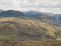
Looking east of south we see Great Crag across the col, with the great sprawl of Ullscarf beyond, and a glimpse of the topknott of Pike O'Blisco about four miles away. |
 |
King's
How
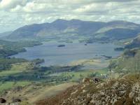
King's How is not the principal summit of Grange Fell but has the best view. You reach it by a roundabout route that involves leaving the Watendlath path just short of the summit and turning left to tackle a mix of gates, stiles, woodland paths and open pastures. Grange Fell is blessed by plenty of "furniture" such as drystone walls, miniature outcrops and stands of trees. It's a joy to explore. Grange Fell's principal top, Brund Fell, lies off to the right about halfway along and can be climbed by a steep but straightforward slog. We're looking slightly west of north, along Derwentwater towards Keswick with the unmistakable profile of Skiddaw beyond. |
 |
King's
How (2)
The village of Grange (in shadow, unfortunately) from the fell that bears its name. |
 |
King's
How (3)
Looking south from King's How we see Great End, Scafell Pike and Great Gable. |
 |
King's
How (4)
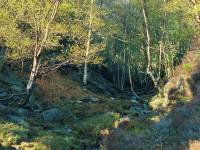
The way down to Grange follows a complex route between crags to the rear of the summit... |
 |
King's
How (5)
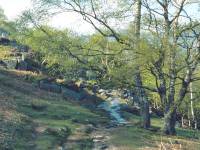
...before turning northwest to descend through a rich sweep of natural birchwood. |
 |
King's
How (6)
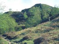
The top of King's How seen from the descent path |
 |
Grange
Crag Wood
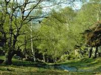
This path through the wood is a sheer delight, especially in the afternoon when these west-facing slopes are bathed in full sunlight. "Witness how Nature arranges her plantings," says Wainwright, "and compare with Whinlatter and Thirlmere and Ennerdale" (all of which are Forestry Commission plantations).. |
 |
Grange
Crag Wood (2)
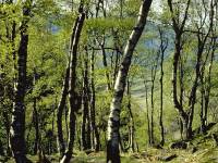
The path through the wood continues to descend... |
 |
Grange
Crag Wood (3)
...through the wood towards Grange... |
 |
Grange
Crag Wood (4)
...among scenes of superb natural beauty. |
 |
Grange
Crags
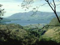
A view opens up, from the path above Grange Crags, across Derwentwater to Skiddaw. |
 |
Grange
Crags (2)
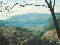
A view framed by a tree branch is an irresistible subject for the camera. |
 |
King's
How (7)
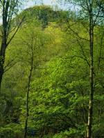
A last view of King's How, looking massive and daunting from just below. It's at this stage of a walk that you invariably shake your head in disbelief as you ask yourself, "did I really just climb that thing?" |