Uttoxeter to Ellastone Back to Staffordshire Link index Thorpe to Hartington

The Walk

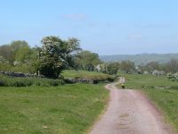
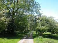
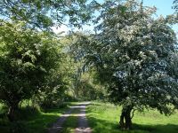
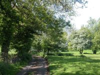
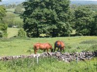
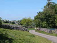
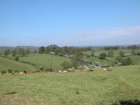
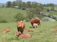
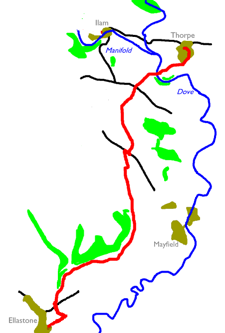
This final part of the Staffordshire Link follows the route of the Limestone Way from Ellastone to Thorpe, just short of Dovedale. It's a lonely trek, keeping pretty much to the high ground a mile or two west of the Dove. It passes through no villages or other settlements and encounters only three roads before getting close to Thorpe, although it does involve about a mile of road walking including some 300 metres along the main A52 between Ashbourne and Buxton. Save for this section of road the walk is almost exclusively through pastures and you will encounter plenty of grazing cattle. Not quite a mile before reaching Thorpe you cross the Dove into Derbyshire, and simultaneously enter the Peak District National Park.

Walk Statistics:
Length: 6.77 miles / 10.9 km
Total ascent: 1009 ft / 307 m
Total descent: 689 ft / 210 m
Estimated time: 2 hrs 28 mins

Maps: OS 1:25000 Explorer 259 (Derby), Outdoor Leisure 24 (White Peak)

Click on any thumbnail image in this gallery to display the corresponding full size image. The images are access protected through a cgi script to prevent hotlinking. If you encounter problems while trying to view the full size images, please read the access advice page.

Ellastone


Lower Ellastone;  llamas

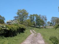
The first three quarters of a mile of the route follows a series of farm tracks and driveways to the east of Ellastone. Assuming that you've hopped off the Ashbourne - Uttoxeter bus in the village, walk south to the junction and then to the left through Lower Ellastone to find the driveway off to the left pictured in the first image above. This passes a series of farm buildings beside which a group of young llamas were grazing when I walked this section in July 2005.

    D&G service 409  Uttoxeter - Rocester - Ellastone - Mayfield - Ashbourne


The route east of Ellastone

Follow the track past a clump of trees to your left and continue as far as the point where another track merges from the left. You now have to turn hard left and follow this new track. It runs westwards at first but then curves around to the right. The route ceases to be a track as such and crosses a pasture. There are some barns to your left and an enclosure to your right. Find the stile to a succeeding pasture (second image below) and cross this, heading for another stile about 100 metres ahead (third image below) that brings you out onto the B5032 Ellastone to Mayfield road.


Crossing pastures east of Ellastone


The Mayfield road

Ousley

Go to the right along the road for about 100 metres, then find a footpath off to the left. From here you have a good three miles of footpaths to walk before you hit the next main road. Initially the route runs to the east of Northwood Farm, keeping well to the right of the field boundary a little way up a slope. The route is reasonably obvious.


The route adjacent to Northwood Farm

The route curves to the right now, running roughly parallel to Ousley Lane which is about 300 metres to your left. Pass Aldercarr Wood to reach a short stretch of track at Hutts Farm (second image below).


Hutts Farm

Beyond Hutts Farm you're back on fieldside paths and pastures. Keeping Gold's Wood to your left follow the route through a succession of pastures. You need to tend gradually away from the wood up the slope to your right, and a fairly obvious vehicle track close to the wood can lead you astray.


The route beyond Hutts Farm

If you come to a prominent cluster of barns then you've missed the path and will have to go back. The correct route runs inside a stone wall at the top of the slope (second image below). Hey, a stone wall! This is a sure sign that we're leaving the Midlands behind and reaching the North.


The route near Ashfield Farm

You really need to keep a eye on the map now, for the path disgorges you through a narrow stile (first picture below) and then bends half right to cross a pasture on the diagonal. If you look to your right you will see the Weaver Hills, the first outliers of the Peak District uplands. Follow a series of fieldside paths past Ashfield Farm (a couple of hundred metres to your right) and then cross another pasture on the diagonal to reach a footpath crossroads.


Pasture crossings and fieldside paths, Ashfield Farm

For the next mile or so you follow a series of fieldside paths. There is a continuous ribbon of woodland a couple of hundred metres to your left and a ridge to your right. There is quite a bit of variation on the theme and you need to keep a close eye on the map and navigate by field boundaries. Sometimes you're following a field edge to your left, sometimes to your right; occasionally the path and the pasture boundary veer well away from each other. There's a short bit of lane (first image below) east of Harlow Wood, after which you cross a pasture making for a lone tree (second image below).


The route near Harlow Wood

Mayfield


Pastures and tracks, Harlow Farm

You're near the village of Mayfield here, but you won't see much of it - it lays a mile to the east. The route continues across several pastures in the vicinity of Harlow Farm, in the company of grazing sheep and cattle. Once the right of way gets you back to the fieldside there's a pretty obvious track at last, and at a gate you suddenly find yourself crossing tarmac - this is Stanton Lane and it will lead you down into Mayfield to your right if you've had enough for one day.

    Trent Barton Service ONE  Mayfield - Ashbourne - Derby
    D&G service 409  Uttoxeter - Rocester - Ellastone - Mayfield - Ashbourne


Grazing cattle;  fieldside paths; Stanton Lane

Beyond Stanton Lane the route bypasses Lordspiece Farm to the left (west) and then crosses a series of pastures for some three quarters of a mile before emerging at the main A52 road (Ashborne to Stoke-on-Trent). Little of this section follows field boundaries so you have to navigate carefully using the OS map as your guide. Initially, do not follow the drive to Lordspiece farm but stay to its left (there was an electric fence between the drive and the right of way in June '06 when I walked this section but that will no doubt be temporary). Head for the top left corner of the pasture for a stile into the next field, beyond the farm building. In this pasture stay about 100 metres to the right of the hedge to find the next stile.


The route bypassing Lordspiece farm

In the next pasture you diverge from the field edge to your left. Depending on the time of year there may or may not be a worn ribbon of grass indicating the route. The aim, once you get to the next stile along, is to run just inside the hedge of the next pasture to the north. Now it gets confusing for some of the field boundaries shown on the map don't exist any more, and the route is not always evident on the ground. Head in the same general direction for roughly 250 metres and then briefly turn to the right (second image below) as far as the field corner, then turn left again to run alongside the hedge.


Pastures north of Lordspiece

The next stile or gate deposits you into open pasture once more. The aim now is to converge with the roadway which is coming up alongside the field edge over to your right. Head in roughly the same direction towards a group of trees (first image below), and find the stile (second image) that gives access to a short path out to the road.


Emerging at the A52
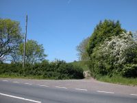
Marten Hill and Woodhouses

Turn hard right and walk along the A52 to the southwest for some 250 metres before turning left onto a minor road. This is marked as a surfaced road on the OS map but in reality it seems to be no more than a drive, reaching the farm at Woodhouses in just under a mile. Initially this road runs up to a little ridge called Marten Hill on the map - confusingly, the farm down to the right is called Martin Hill (different spelling).
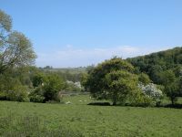


The commencement of the Woodhouses track

The road curves to the left and runs slighly west of north, along the weastern lip of the ridge. There are excellent views down to the right, and the area is idyllic, particularly in late spring.


The track from Marten Hill to Woodhouses

The road continues, through partial tree cover, hugging a drystone wall just to the left. Down to the right are Okeover Hall and Cowclose Wood and the scenery is beautiful. The Dove meanders about a mile to the east and we are also approaching the boundary of the Peak District National Park.


Approaching Woodhouses

Our road runs slighly downhill to approach the farm of Woodhouses. The road continues to the hamlet of Blore, about half a mile further on, but our route is due to turn off right just past the farm.


The environs of Woodhouses

Just beyond the farm turn half right into a pasture and cross it on the diagonal. There is no path as such and the pasture slopes quite steeply downhill. You're heading for a field corner so aim for the converging pattern of hedges (first image below). The pasture was being grazed by cattle when I came this way in June '06. At the foot of the pasture is a gate in a dip. This dip is likely to be very muddy if there has been wet weather recently; not far to the right it carries a stream and develops into the Cowclose valley. Continue in the same direction uphill across the next pasture (third image below). Initially it's pretty steep but after about 200 metres the gradient eases, and after a further 200 metres you come out onto the Blore - Okeover road on the shoulder of a hill.


Pastures beyond Woodhouses

Coldwall

Go across this road and half right to follow the access road to Coldwall Farm (first image below). Immediately beyond the farm a very lush green pasture slopes down to the Dove.


Coldwall Farm access drive, and the pasture beyond

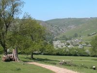
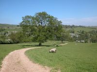
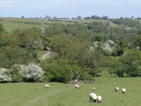
The map shows a path and a right of way cutting directly across the pasture to Coldwall Bridge, our next objective, ignoring the vehicle track that loops to the north. In fact the path apears not to exist and the vehicle track provides better going anyway, so use it in preference. The pasture is dotted with trees and grazing sheep and is a very rich green, a sign of limestone bedrock. To bring this home, a glance to the left reveals the slopes of Bunster Hill and Thorpe Cloud just a mile to the north, with the sinewy portals of Dovedale between them. We're very close to the end of the route.


Scenes in Coldwall Pasture

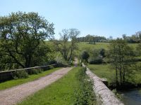
Follow the track down and around the loop to approach Coldwall Bridge. The bridge features a long approach ramp, walled each side, and the environs are idyllic. The bridge takes us across the river Dove, which marks not only the county boundary between Staffordshire and Derbyshire but also the boundary of the Peak District National Park. We've met this boundary twice already at field corners, once at Woodhouses farm and once again at the dip between the farm and the Blore road, but this time we actually cross it. Welcome to Derbyshire and to the Peak District.


Coldwall Bridge and views of the Dove


Welcome to Derbyshire

Public footpaths join the track from either side on the east (Derbyshire) side of the bridge but we continue along the track, which now climbs steadily up the slope to the left. Once again the scenery is lush and verdant.


The track to Thorpe on the Derbyshire side

Thorpe

There's about a mile left to walk into Thorpe. You're spoilt for choice once you reach the top of the slope; take either the footpath to the left (which is well hiddemn and easily missed) or follow the track, which loops around to the left soon afterwards.


The track from Coldwall Bridge to Thorpe


Entering Thorpe

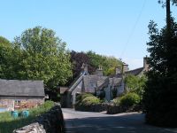
Both routes converge again a few minutes later at the end of the public road. Now you can follow the road into the village centre or take the right turn, behind the church; this is the official route of the Limestone Way but it seems silly to bypass the village itself.


Thorpe village

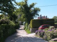
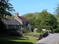
You reach the main road at the north side of the village; it's a three mile walk to Ashbourne from here or you could get one of the occasional Ashbourne - Buxton buses. You should be aware that some buses do not call at Thorpe itself but at the crossroads half a mile to the east, where there's a pub. For the best walking route to Ashbourne go straight on at this crossroads to gain access to the Tissington Trail, a disused railway line; follow this southwards all the way into town. There are any number of ways to Dovedale from here but my favoured route, which runs back across to the Staffordshire bank of the Dove so that you can experience the stepping stones, leaves along the lane pictured in the second image below. But that's for another day.


Thorpe

    Bowers service 442 / 542  Ashbourne - Thorpe (Tissington road) - Hartington - Buxton
    Glovers service 441 (Schooldays and Saturdays)  Ashbourne - Thorpe Village - Ilam  (also Hartington, Saturdays only)
    T&M Travel service 202  Mansfield - Mansfield - Alfreton - Derby - Ashbourne - Thorpe - Hartington - Buxton (Sundays and bank holidays, 1 journey only)

Now available on CD - the high resolution (2560 x 1920 pixel) originals of the images on this gallery (includes those from Rocester to Ellastone on the previous page). 149 images, 230MB of data. (includes some images not selected for the website).

£6.00 inclusive of postage / packing.
Note: Payment by credit card is handled by Pay Pal. If you are not already a member, their validation of your account can take up to 4 weeks.


Uttoxeter to Ellastone Back to Staffordshire Link index Thorpe to Hartington

This page last updated 18th June 2006