Plymouth to Yealmpton Back to Devon Coast-to-Coast index Ivybridge to Dartmeet

The Walk

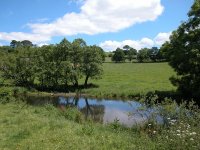
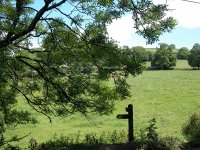
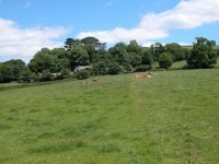
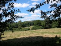
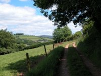
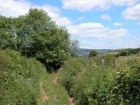
Today's walk continues and completes the short journey between the coast path and the edge of the Dartmoor National Park, across the pastoral country of South Devon. It is a world of farms and pastures, villages, streams, woods and undulating hills. I  plotted and walked a route between Yealmpton and Ivybridge in the summer of 1994, but more recently a waymarked path (the Earme-Plym trail) has come into use and this route has now replaced my original. Although the stats panel shows a nominal walking time of 2hrs 45 minutes, parts of the route are intricate and there are a couple of potential routefinding problems - four hours would be a more realistic time.

Walk Statistics:
Length: 8.0 miles / 12.9 km
Total ascent: 906 ft / 276 m
Total descent: 818 ft / 249 m
Estimated time: 2 hrs 45 mins

Map:  OS 1:25000 Outdoor Leisure 20 (South Devon)

Click on any thumbnail image in this gallery to display the corresponding full size image. The images are access protected through a cgi script to prevent hotlinking. If you encounter problems while trying to view the full size images, please read the access advice page.

Yealmpton

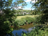
Our walk today begins from the crossroads at the centre of the village of Yealmpton. Walk to the south to find the riverbridge, cross it, and turn left onto a riverside footpath.


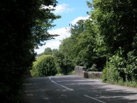
The road to the riverbridge from the centre of Yealmpton

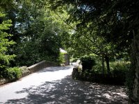
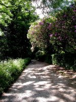
It's a pleasant stroll, with the river on one side and a series of back gardens on the other. There is plenty of tree cover. The path turns right at a wooden fence to come out at the head of a quiet suburban road. Cross to the opposite side to find its continuation, which turns left again to resume its eastward course through a patch of woodland.


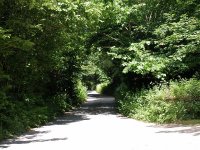
The footpath out of Yealmpton

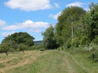
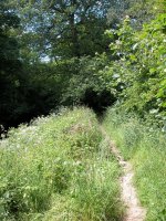
The path emerges from the wood to cross or run beside a series of small pastures, occasionally ducking into a ribbon of woodland alongside to follow what appears to be a poorly used track therein. The terrain is slightly confusing; here, the detail on the ground not always agreeing with that on the map. However, you should be able to keep to the general course of the path by keeping an eye on the field boundaries.


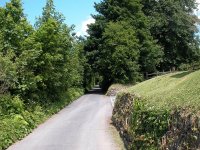
The route between Yealmpton and Yealmbridge

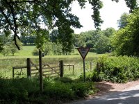
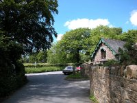
Twice in its course this footpath crosses wide pastures on an uphill slope, heading each time for a thicket of trees beyond. Once you're into the second of these thickets you will come alongside an area marked "depot" on the map; through the trees to your right is an untidy cluster of sheds. Look out for a path off to the right shortly before you reach a motor road. It's worth walking the few extra steps out to the road itself to see the old toll house on the corner (pictured below) on the ouskirts of Yealmbridge, but otherwise stick to the correct route, which runs around the north side of the depot to emerge onto a back lane. Turn right onto this lane and head for the little village of Dunstone.


The old toll house at Yealmbridge;  the lane passing the depot short of Dunstone

Dunstone


Arriving at Dunstone

The lane into Dunstone runs for not quite half a mile and for the most part it accompanies the eastern perimeter of the mysterious Depot. Dunstone is small though charming. It has no facilities, however. Go straight on at the green and continue along the road as far as a prominent right-hand bend just beyond the far end of the village.


The lane out of Dunstone;  footpath across a pasture near Splatt farm

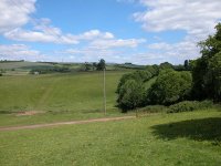
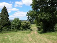
Turn left here onto a right of way. You need an up to date map with you - the path apparently used to follow the edge of the pasture but has been diverted. Walk uphill, heading more or less northeast, leaving Splatt Farm well to your left. You're heading for a junction of hedges at which there's a stile - you should find it easily enough, about 200 metres south of the northeastern corner of the pasture. It's a decent spot for a morning refreshment break and features a good view back towards Yealmpton, just a mile and a half away as the crow flies (first image below). Once across the stile follow the field edge (second image below) to another stile (third image below), turn right and walk uphill for a short distance to another field boundary, then turn left again along the contour.


The route of the Earme-Plym Trail beyond Dunstone

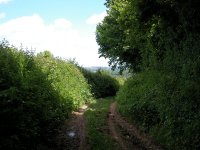
After you cross the next stile into a further pasture, follow the field boundary for about 250 metres then turn half right across the pasture. Follow another field boundary downhill (first picture below) into a short green lane (second picture) heading to a road near Ramsland Farm.


Reaching the road near Ramsland Farm

Butland Wood


Road walk, Butland Wood

Turn left onto the road. There's about a mile of road walking to come but the route's a little intricate. You approach Butland Wood. After about 500 metres, at the point where the road runs into the wood, turn right onto a narrower lane heading uphill. Shortly afterwards go straight on at a crossroads (pictured below).


Lane crossing, Butland Wood

Flete


Flete Wood

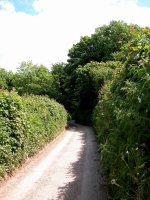
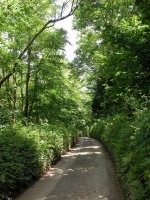
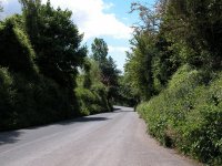
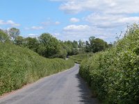
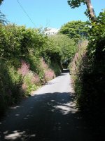
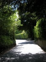
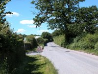
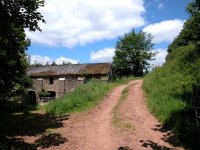
The lane onward from the crossroads is narrower and quieter, and it leads through Flete Wood. The lane, like some we followed yesterday, is fairly typical of back roads in this part of Devon. It runs fairly straight, but very narrowly, through tree cover and high banks.
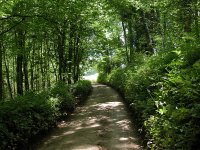


Road through Flete Wood

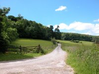
At the next junction the main road curves away to the right. We go to the left here, and almost immediately the lane forks into two - take the left fork. It's difficult to describe but obvious enough from the map. Your new lane, even narrower now, runs downhill and comes to an area with open pastures on the left and woodland on the right.
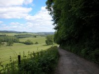


The route at Flete

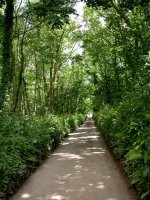
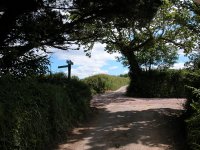
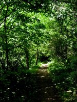
This area appears to be part of the estate of a country mansion called Flete, about half a mile to the east. The lane runs downhill to a nameless group of cottages. At the point where you cross a substantial track (first image above) the map is a little ambiguous; it suggests that you should continue straight on alongside the wood, but the correct route doglegs slightly, right then left, into a little tunnel of woodland (second picture above). The next few hundred metres is very similar to the route out of Yealmpton this morning, partly alongside pastures and partly through ribbons of woodland. After crossing a small brook the route runs slightly uphill and then becomes confined between hedges.
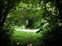


Route through copse

Sequer's Bridge


The Earme-Plym Trail between Flete and Hollowcombe Cross

The lane, still bound by hedges, tends downhill again. It comes into the open quite suddenly, at which point you cross a pasture on the diagonal (second picture above) to come out onto the main road near Hollowcombe Cross. The road is busy, a bit of a culture shock after today's back lanes, but fortunately a parallel right of way has been provided alongside the field edges on the north side of the road; cross a stile (third image above) for access.
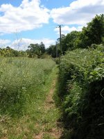


Field-edge paths to Sequers Bridge

The sequence of field paths runs eastwards alongside the road for about half a kilometre, crossing a lane, to reach the river Earme at Sequers Bridge.
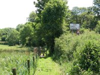


Sequers Bridge

Another bit of potential confusion here. The map shows two possible routes for the Earme-Plym Trail north of Sequers Bridge, one each side of the Earme. The waymarks, however, are quite firm - the correct route is along the east bank. Cross the bridge and take the stile and steps off to the left, then walk diagonally across the pasture towards Sexton farm.
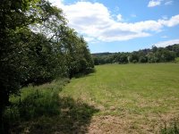


The trail from Sequers Bridge to Sexton farm

Sexton turns out to be quite a large cluster of cottages and barns. Follow the track through the middle and then follow the waymarks.

Ermington


The trail north of Sexton.

Once the track gives out you run alongside a pasture then cross another to the far northeast corner. From the stile here there is a fine view across the Earme to Ermington (third image below). I chose this spot to have lunch when I walked the route in June '05.


Pastures opposite Ermington

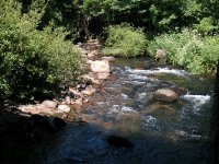
A large, sloping pasture lays before you. Walk downhill and across, heading initially for the corner of a group of trees (first image below) then generally towards the screen of vegetation running alongside the river. You pass Ermington on the other bank. Keeping close by the riverbank now, cross three more pastures to come out onto a road by a house named Fawns.


Walking down to the riverbank


The road at Fawns

At the road, turn left and walk a few paces west (towards Ermington) but just before the riverbridge turn right onto a back lane heading for the locality of Strode (third image above).

Strode


Road to Strode and pastures beyond

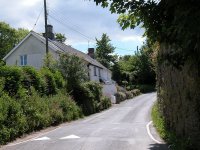
The back lane to Strode provides a pleasant and uneventful kilometre. It runs mostly uphill and is fringed by banks and tree cover. Just after Strode another lane merges from the right. At the hilltop the road bends to the right but our route now follows a public footpath half left. Two footpaths diverge from here - take the one furthest left, which runs along the southwest edge of a high hedge. The wealth of detail on the map hereabouts is confusing, the field boundary is not obvious on older editions, and the path is not marked as the Earme-Plym Trail from the road. This is a recipe for routefinding problems and I lost my way quite spectacularly here. The trick is to stick to the field edge and follow it around a right-hand curve, where you will find a gate into the next pasture.

Thornham


The route across pastures at Thornham

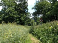
These pastures appear to be part of the grounds of Thornham farm, which lays across the river. Frankly, the waymarks could be a lot better here. Having arrived in the second pasture from the road, cross it in a west-northwest direction (first picture above). Head initially for the corner of another field that juts into ours from the northwest - all the field boundaries hereabouts are formed of hedges and trees so the field shapes as shown on the map are not terribly obvious on the ground. There's a small barn just proud of this field corner to the right, half hidden among trees; leave this well to your right and start along the field boundary to the west, but at a power line pole (second image above) turn right into the next pasture. Cross this on the diagonal to reach a gate into yet another pasture (third image above).

I lost count of the pastures here and thought I was one gate behind, an easy mistake to make when you've already got lost twice in the last few hundred metres. A prominent path runs diagonally across the next pasture in the same direction we've just come from but this is not the correct route; instead, stick to the right-hand field boundary and follow it on its left side. About fifty metres in you will pass a footpath marker, which would have been more usefully sited back at the gate. 

After some 200 metres the pasture widens and the field boundary you've been following veers off to the right; ignore it now, keeping straight ahead. Make for the far northeast corner of the field. Go onwards into the next field and follow the edge of it all the way to the far end, where you come out onto another road.

Keaton


Road walking at Lower Keaton

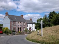
This is Lower Keaton. Walk along the road to the northwest for 200 metres (first image above), coming to a junction with a rather pretty little cottage adjacent (second image above). Turn left and walk alongside manicured hedges towards the riverbridge. Just short of the bridge (first image below) turn right into an access driveway running along the river bank (second image below). At the far end of this driveway our route reverts to a footpath (third image below) that runs initially alongside the river. Soon afterwards the river meanders off to the left and the footpath continues ahead, firstly through a ribbon of trees, and subsequently along the eastern edge of a huge pasture.


The route from Lower Keaton to Yeolands

Yeolands


Pastures south of Yeolands

The route is never in doubt here, a blessing after all that intricate and confusing stuff back at Thornham. You're following a line of power line poles and will probably find cattle grazing in the field. At the far corner the route enters a short green lane (pictured below) which in turn comes out into a small residential road. This is the village of Yeolands.


The trail at Yeolands

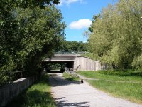
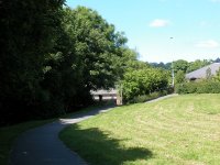
You come out onto a main road at the north end of Yeolands. The trail nominally follows this but there's a parallel footpath just off to the left (second image above) which is preferable. Follow this for a couple of hundred metres and then turn left along a narrower lane heading for Cleeve, on the other side of the river. To your right is a recreation ground; go into this and walk around its perimeter, firstly westwards to the river and then northwards alongside it (first image below). Once past the pavilion and the tennis courts continue to follow the riverbank around to the right and take the path under the road bridge. Welcome to Ivybridge.


Recreation ground between Yeolands and Ivybridge

Ivybridge


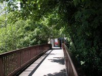
Things couldn't be simpler from here on. Continue along the riverbank, theading its way between Ivybridge's residential roads. In just a quarter of a mile you will reach a little riverside park, and a footbridge over the river from here gives access to a smart little glassed-in shopping arcade, at the other end of which is Ivybridge High St and the end of the day's walk.


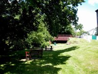
Picnic tables and a weir to the rear of Ivybridge high street.


shopping arcade


Ivybridge high street

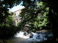
The Earme-Plym trail ends here, linking up with the Two Moors Way. That's for tomorrow, but while you're here you might like to take a look at the waterfalls by the riverbridge at the north end of the high street. There's a regular bus service back to Plymouth from here; to find the bus stop go to the southwestern end of the high street, to find a mini-roundabout by a church - the buses come in along the bypass loop to your left and continue along the B3213 straight on. There are bus stops on both roads, take your pick.
Now available on CD - the high resolution (2560 x 1920 pixel) originals of the images on this gallery. 120 images, 171MB of data. (includes some images not selected for the website).
£4.00 inclusive of postage / packing.
Note: Payment by credit card is handled by Pay Pal. If you are not already a member, their validation of your account can take up to 4 weeks.


Plymouth to Yealmpton Back to Devon Coast-to-Coast index Ivybridge to Dartmeet

This page last updated 13th November 2005