|
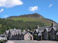
Once
again we were rewarded by a near perfect, sunny day, the third in
succesion. Conditions like this are rare in the Highlands. The bus
arrived at the village square just in time for lunch. I grabbed a quick
shot ofCeann Caol ne Creige rising above the village and then went for
a bite to eat at the pleasant little cafe (which, I noticed, also
offered internet access).
|
|
Once
I'd finished lunch I went round on a fairly intense photographic
expedition around the village, with only about 40 minutes to spare
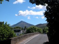
until the return bus to Pitlochry. This is the bridge over the Tummel,
with Schiehallion seen beyond.
|
|
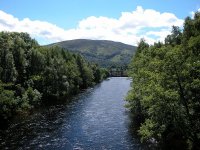
The view from the riverbridge.
|
|
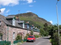
A row of cottages, backed by Ceann Caol ne Creige.
|
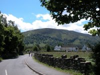
|
Kinloch Rannoch is in an exceptionally pleasant setting.
|
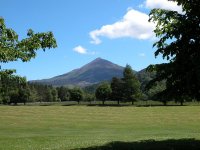
|
I found a little recreation ground behind the church that provided an excellent foreground for some shots of Schiehallion.
|

|
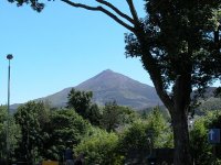
Schiehallion,
height 1083 metres or 3553 ft. The mountain is an almost perfect cone
shape from this aspect, a property that led to the fifth Astronomer
Royal, Nevil Maskelyne, using it in an experiment in 1774 to determine
the strength of gravitational attraction and hence the mean density of
the Earth.
|
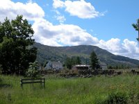
|
From the same spot, a view of Meall Druidhe on the south side of Loch Rannoch.
|
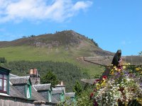
|
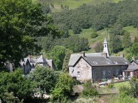
Ceann Caol ne Creige rises above a pleasing foreground of gables and a pergola.
|
|
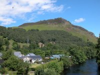
The back of the village square from the south side of the Tummel.
|
|
Ceann Caol ne Creige again, from the same spot as the photo above.
|
|
Another shot of Schiehallion, quite an irresistable subject.
|
|
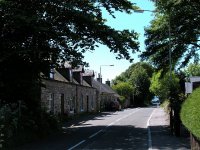
The B846 going down to the west end of the village.
|
|
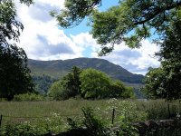
Another shot of Meall Druidhe.
|
|
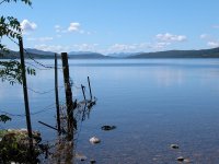
Suddenly
the road takes a sharp right as it hits the eastern end of Loch
Rannoch. There is a beautiful view right down the length of the loch,
some 15km (9 miles). Some 40 km (30 miles) away in the skyline are the
mountains of Glencoe.
|
|
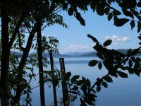
Such a lovely spot. I couldn't resist this arty shot through the foliage.
|
|
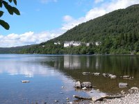
The hotel on the northern shore of the loch.
|
|
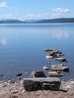
Another view of Loch Rannoch and the Glencoe mountains.
|
|
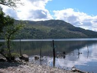
Although I had only about fifteen minutes left before the bus...
|
|
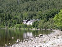
...I just had to stay at this spot as long as possible, snapping away.
|
|
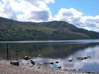
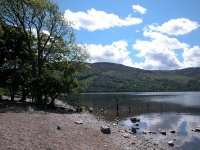
Another view of Meall Druidhe...
|
|
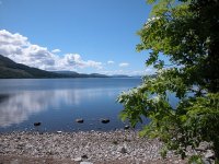
...and a wide-angle shot of the same scene.
|
|
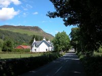
A final view down the length of Loch Rannoch.
|
|
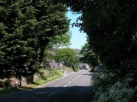
Now I had to make my way back to the village square for the bus.
|
|
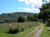
Kinloch Rannoch is an utterly charming place.
|
|
I wondered what it must be like to live here, surrounded by such beauty.
|
|
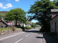
Approaching the village square.
|
|
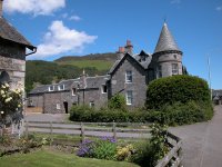
The back of the hotel.
|
|
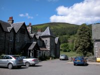
...and the front, on the square.
|
|
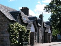
A final shot before the bus whisked me back to Pitlochry. I must come here again someday and climb Schiehallion.
|
|
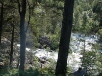
The
bus made few stops on the way back and we passed some magnificent
views, mainly at fifty miles an hour. Just now and again I managed to
grab a useable shot through the window, such as this one.
|

|
These are woodlands on the shore of Loch Tummel.
|
|
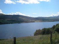
This is Loch Tummel, not far from the legendary Queen's View.
|
|
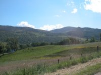
The hills around Tummel Bridge, seen from the northeast.
|
|
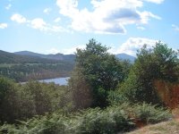
The receding profile of Schiehallion, snapped at speed through thr trees.
|
|
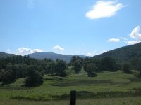
A final shot through the bus window near the eastern end of Loch Tummel.
|


![]()