 |
The first part of the route was the
same
as that of the Ben Vrackie climb the previous day, and as the sun was
shining
strongly this morning I took the opportunity to take some snaps of
Moulin,
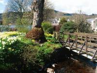
about three quarters of a mile north of Pitlochry. Lots of late
daffodils
out near the footbridge. |
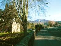 |
A rural scene on the road
approaching Moulin. |
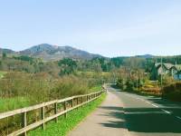 |
Moulin, with Ben Vrackie behind. |
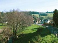 |
Pastures lie to the west of Moulin;
I walked
a few yards along a dirt track to stand on a footbridge over the Moulin
burn to get this shot. |
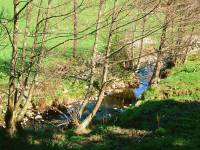 |
The Moulin burn. |
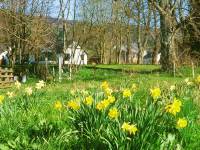
|
Village scenes in Moulin, with a
cluster
of daffodils... |
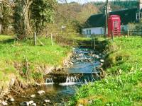
|
...a stream, and an old red phone
box. |
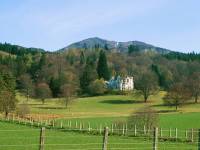
|
Ben Vrackie stands above Moulin
house. |
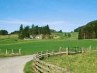
|
The track to the northwest
approaches the
golf course. |
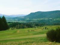
|
Pitlochry and its environs seen
from the
track behind the golf course. |
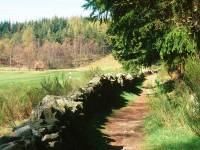
|
The track heads for the Craigower
forest
plantation. |
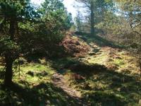
|
A series of forest rides comes out
onto this
wooded knoll, where there's a viewpoint indicator. |
|
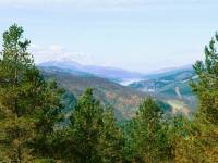
The view from Craigower: westwards
along
Loch Tummel, with Schiehallion to the left. |
|
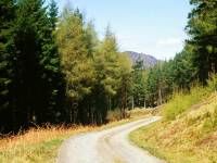
A steeper descent to the main
forest ride,
and now the route lays along this logging track running above and
parallel
to the A9 trunk road. |
|
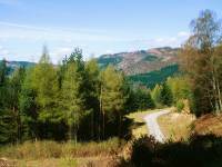
I climbed up a bank to get this
shot of the
forest environs and to have my morning refreshment break. |
|
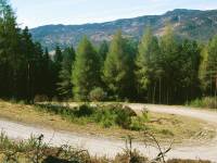
From the forest track, looking
across Glen
Garry to the west. |
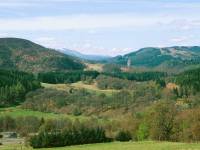
|
A view across to the Linn of Tummel. |
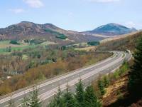
|
The forest track is heading
northwest and
converging with the A9 trunk road. The pass of Killiecrankie is up
ahead,
and beyond it is Blair Atholl. |
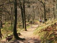
|
The pedestrian route dives under
the concrete
viaduct of the main road and descends down the bank to the original
road.
The Killiecrankie visitor centre lies a few hundred yards to the north.
Killiecrankie was the scene of an 18th century battle.
From the visitor centre a series of
forest
paths, seen here, lead to the gorge proper.
|
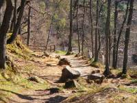
|
Paths through the woods at
Killiecrankie |
|
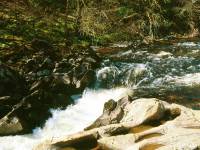
Killiecrankie gorge. This spot is
known as
"soldier's leap". A Jacobite trooper supposedly leapt 18 ft across the
gorge to escape the redcoats. Believe it if you like, but I'm not
convinced.
It's far too rough for a decent run-up and the other side is
higher! |
|
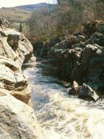
Killiecrankie gorge below the falls. |
|
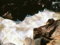
The falls in the narrowest part of
the gorge.. |
|
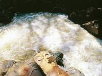
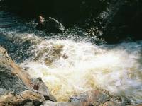
The cascade immediately below
soldier's leap. |
|
Another shot of the falls at
Killiecrankie
gorge. |

|
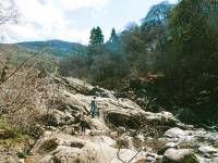
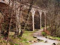
The railway viaduct overlooks part
of the
gorge and I've always made a point of peering out of the window as we
sped
by, never realising that one day I would stand at this spot. |
|
Killiecrankie gorge. |
|
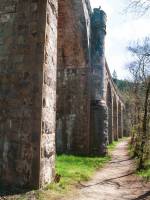
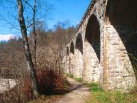
The railway viaduct about 100
meters to the
east. |
|
The path runs past the foot of the
viaduct
to head southwards along the banks of the Garry. |
|
Had lunch here on a bench seat. |
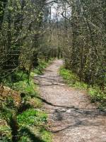
|
The path back through Glen Garry. |
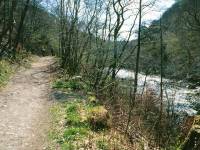
|
The lively River Garry on the
right. Quite
a few fishermen about. |
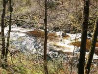
|
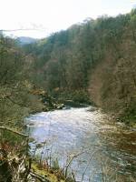
A view down the wooded bank to the
Garry. |
|
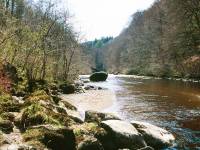
A wider, shallower section as the
river approaches
its confluence with the Tummel. |
|
A meagre path down the bank gave
access to
this rocky perch. |
|
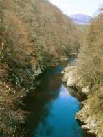
A footbridge just north of the
river confluence
crosses to the west bank. The view upstream. |
|
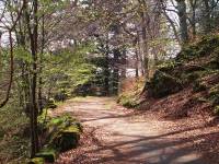
The woods on the west side of the
Garry,
just above the Tummel road bridge. |

|
This bridge carries the B8019 road
to Tummel
Bridge and Kinloch Rannoch. |
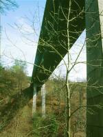
|
Almost right underneath the
bridge... |
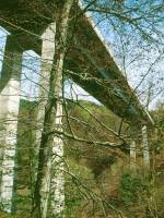
|
...and just past. |
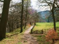
|
The track just south of the bridge. |
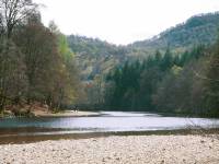
|
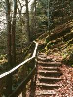
The Linn of Tummel, where the Garry
flows
into the Tummel just north of Loch Faskally. |
|
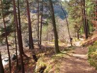
The path now climbs the bank and
swings right
to run along the north bank of the Tummel. |
|
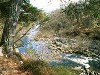
The Tummel is an even livelier
river than
the Garry hereabouts and the woodland paths along its banks are a
delight. |
|
The gorge of the River Tummel. |

|
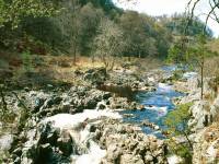
Rapids, cascades and falls... |
|
...grace the river for around a
mile west
of the Linn of Tummel. |
|
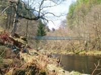
The Coronation Footbridge carries
the path
across to the south bank, where it joins the unclassified road from
Pitlochry
to Foss. |
|
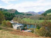
Back at the Linn of Tummel, looking
northwest
along Glen Garry once more. In the foreground is the Clunie
hydroelectric
power station, which is fed by a tunnel from the Clunie dam at the foot
of Loch Tummel. |
|
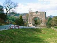
At the entrance to the power
station access
road is this arch, built in the form of a cross-section of the power
station's
feeder tunnel, and which commemorates the men who died during its
construction. |
|
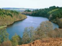
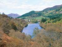
The road, which was largely traffic
free,
runs high above Loch Faskally. |
|
A brief view back along the Tummel
to the
north. |
|
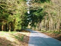
The road runs through tree cover as
it approaches
the environs of Pitlochry. |
|
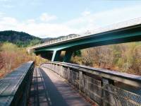
This bridge carries the A9
Pitlochry bypass
across a narrow part of the loch. An accompanying footbridge connects
the
paths on either bank which gives an easy and enjoyable short circular
walk
from the town. |
|
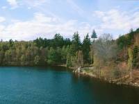
Loch Faskally not far above the dam. |
|
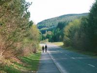
The last shot before I ran out of
film: this
short roadside path is filtered off by a cycle track that in turn gives
access to a path down by the west bank of the loch a couple of hundred
yards short of the dam. A pedestrian path across the dam, which allows
views into the turbine hall of Pitlochry power station and the dam's
salmon
ladder, emerges into Pitlochry town centre half a mile to the east. |
![]()