 |
A path from the car park leads past
Loch
Pollan Buidhe, a tiny lake sandwiched between Loch Affric and Loch
Beinn
a Mheadhoin. It leads past Affric Lodge, an outhouse of which can be
seen
a few hundred yards ahead. |
 |
A plank bridge and a couple of
crush gates
in high deer fences prevent cyclists from using this path around the
north
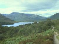
shore of Loch Affric, but hikers are allowed. Even in this hazy light
Loch
Affric and its environs look very beautiful. |
 |
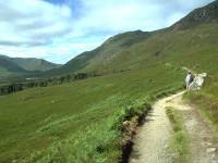
The path runs a couple of hundred
feet above,
and half a kilometre to the north, of the loch shore. |
 |
The weather is improving and Graham
and I
are minded to attempt the Mam Sodhail / Carn Eighe climb. |
 |
About two thirds of the way along
the north
shore of the loch, a path leads northwestwards into Coire Leachavie,
which
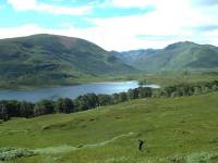
in two miles will rise to a col immediately south of Mam Sodhail. Loch
Affric is displayed to excellent advantage from the entrance to the
corrie. |

|
It always takes a significant
physical effort
to climb a mountain but some climbs are more straightforward than
others.
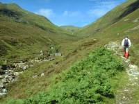
The path into Coire Leachavie proved to be an excellent route,
reasonably
graded and easy on the feet. |
|
We made good time up to the point
where the
corrie starts to take a left-hand turn. |

|
Higher into the corrie, and the
gradual bend
to the left is beginning to shut out the rearward view of Loch
Affric. |
|
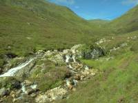
The Allt Coire Leachavie leaps down
the corrie
in a series of cascades and waterslides. |

|
Many of the cascades and the
intermediate
rockpools made very inviting picnic stops, but we were not yet clear of
the midges and kept going. |
|
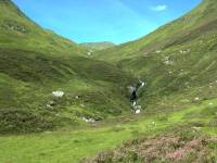
A brief steeper pitch led up into a
higher
part of the corrie, with a first view of the summit of Mam Sodhail |
|
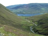
Loch Affric is still in view behind
us. |
|
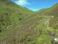
The Coire Leachavie path continues,
now starting
to deteriorate a little. |

|
We decided to stop for our lunch
break up
by the waterfall just ahead. |

|
The rear view from the waterfall,
and from
here onwards Loch Affric could be seen no more. |

|
Upper Coire Leachavie. Mam Sodhail
is the
summit to the right. The path was a bit sketchy now and we were
encountering
the odd boggy patch, though since we had already climbed to over 2000ft
it was hardly surprising. |
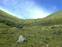
|
The upper corrie is a wild but
beautiful
place. A herd of deer grazed the slopes up to our left. We did consider
a very sketchy path rising up the corrie flank to our right but the
slopes
looked too steep. More worryingly, however, the corrie headwall ahead
of
us also looked rather daunting and we couldn't see the course of the
path. |

|
Another waterfall high in the
corrie. |

|
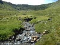
The course of the Allt Coire
Leachavie in
the upper corrie |

|
At just above 2500ft the upper
corrie starts
to open into something of a cirque and the path gets sketchier,
sometimes
subdividing into more than one route as it wanders between the odd hump
of glacial moraine. |
|
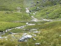
Getting nearer to the corrie
headwall now,
and fortunately we're starting to see suggestions of a path following a
series of natural rakes zig-zagging up the slope. |
|
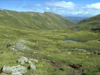
A tiny lochan in the bed of the
cirque. |

|
Just beyond the lochan the path got
its act
together once more and began to approach the southwest corner of the
cirque... |

|
...from where it began to ascend
the corrie
headwall by a series of beautifully engineered and largely unobtrusive
zigzags. |
|
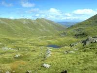
We've reached 3000ft and can see
back down
along the wild upper reaches of Coire Leachavie. In the centre is Sgurr
na Lapaich, at the end of Mam Sodhail's long east ridge. |
|
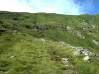
The same view, a couple of hundred
feet higher. |
|
The path tacks back and forth as it
climbs
the corrie headwall. 3500ft above sea level now, and it almost feels as
though we've cheated to have got this high without undue effort. |

|
The view back down the corrie from
the same
point. |

|
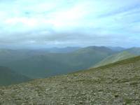
Almost up to the col now, and only
about
300 ft of height separate us from Mam Sodhail's summit. |
|
The col! The Northwest Highlands
are spread
before us, with ridge after ridge disappearing into the distance.
Sadly,
we can name none of the peaks in view. This shot is looking just west
of
north, with Carn Eighe to the far right. |
|
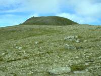
The summit dome of Mam Sodhail lies
just
ahead across a stony slope. The weather is still benign but we can see
from the texture of the ground that strong winds regularly scour this
slope
from the west. Mam Sodhail is Britain's 14th highest summit, at 3875ft
or 1181 meters above sea level. |
|
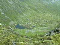
We're at the summit, from where we
can see
down into the bowl of Gleann nam Fiadh. Almost a mirror image of Coire
Leachavie, immediately to the south, it contains its own cirque floored
by the picturesque Loch Uaine (green lake). Mam Sodhail was my
fifteenth
Munro, and Graham's third. Sadly, the weather is turning. |
|
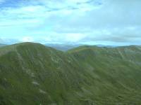
Carn Eighe, a kilometre to the
north, is
the highest summit north of the Great Glen; it's Britain's twelfth
highest
mountain, at 3881ft or 1183 meters.
Graham is daunted by the reascent,
and both
of us are concerned by the deteriorating weather. Dark clouds are
approaching
from the southwest and obscuring the tops in the Kintail direction. We
decide to call it a day here on Mam Sodhail.
|
|
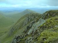
Time for a couple more pictures,
however.
This is Mam Sodhail's eastern ridge, terminating in the shapely hump of
Sgurr na Lapaich. |
|
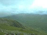
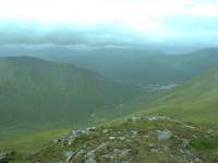
The view southwestwards towards An
Socach.
We decided to tackle the path along the lip of the ridge seen here, to
reach the head of the Coire Ghaidheil and thence descend to the western
end of Loch Affric by another stalkers' path. |
|
A parting shot from the summit,
north-northwestwards
down the Gleann Chollich to the headwaters of Loch Mullardoch.
We failed to find the path into
Coire Ghadheil,
despite it being prominently marked on the map. Better safe than sorry,
we climbed back up to the col and retraced our steps down Coire
Leachavie.
We reached the car at about 6pm, under intense midge attack; we were
both
weary and, with hindsight, were both glad we hadn't attempted Carn
Eighe.
But it'll still be there next year.
|
![]()