|
On the very edge of the highlands,
just west
of the flat country of the Beauly firth, a hill track leaves the
village
of Struy and heads northeast through Erchless forest to emerge in Glen
Gowrie. It heads ultimately for the Orrin reservoir dam but I was going
to head east along Glen Gowrie to Altgowrie, and ultimately Muir of
Ord.
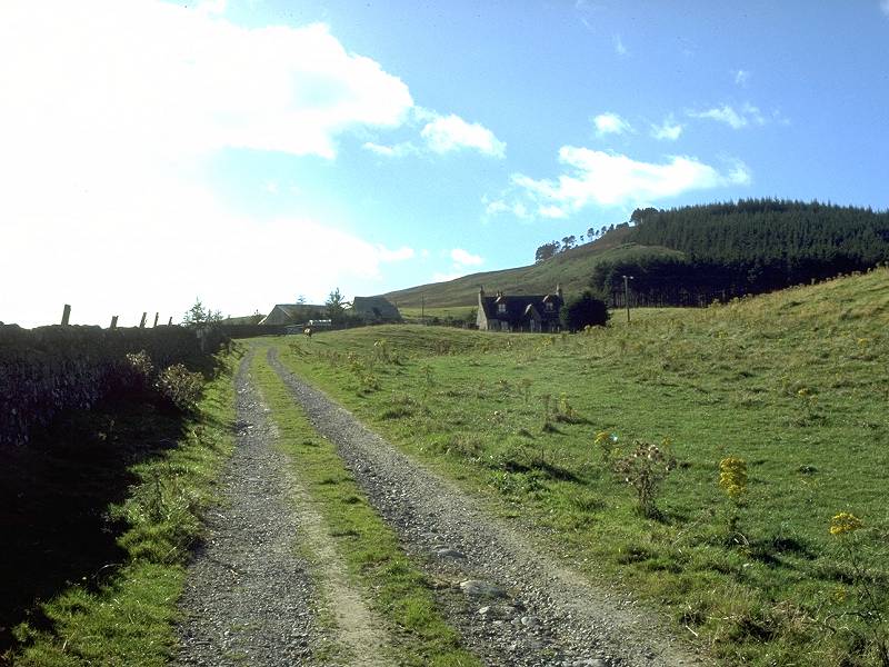
This is the first part of the track through the Erchless forest. |
 |
The track passes Erchless forest
cottage
and heads uphill through the trees, relatively steeply at first but
then
levelling off somewhat. Lochan Fada lies a few hundred meters to the
left
but can't be seen until you're well past it and into open country. |
 |
The first clearing in the forest,
where we
meet the power lines coming out from Glen Strathfarrar. |
 |
The path nears the northern edge of
the forest
plantation. |
 |
Beyond here we're in open country.
Looking
back, we can see along the length of the previously hidden Lochan Fada.
The hills surrounding Loch Beinn a Mheadhoin and Loch Affric can be
seen
in the far distance. |

|
The path heads across open
moorland, an area
known as Urchany forest. |

|
About two miles ahead is a col just
west
of Cnoc Eille Mor. It looks much closer but distances are deceiving out
here. |

|
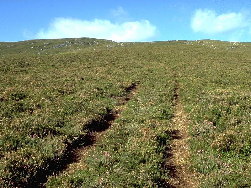
The track twists and turns somewhat
but is
quite suitable for mountain bikers as well as hikers. |

|
Unseen from further back is a
little gorge
formed by a nameless watercourse, home to a copse of trees. |

|
The Urchany Gorge, as I've
christened it,
is a picturesque little spot... |

|
...that invites you to linger and
take a
refreshment stop. Beware midges though, especially if the weather is
still
and damp. Midges are fortunately less of a risk in bright, sunny
weather
like this. |

|
The foot of the Urchany Gorge |

|
Beyond the gorge the path climbs
quite steeply
again. |

|
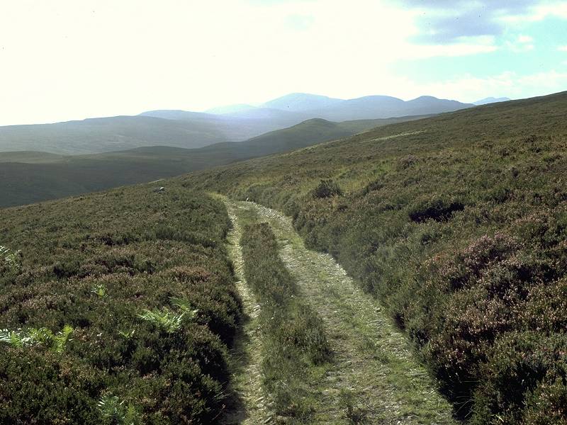
Distances are still deceptive,
Every time
you think you're nearing the top of the ridge, another ridge top
appears
a few hundred metres further on. The view back the way we've come. |

|
The path ploughs on. The scenery
isn't so
good here and this would be a sombre, dreary place were the sun not
shining. |

|
One final bend in the path,
however, ... |

|
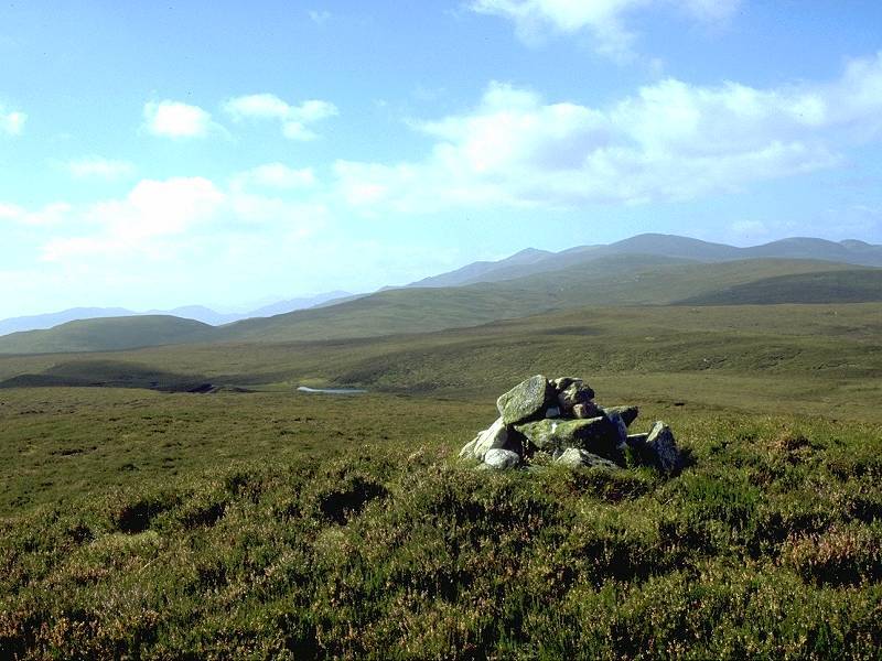
...and the top of the ridge is
reached at
last. To the west you are rewarded with a glorious view of the Glen
Strathfarrar
Munros. |

|
The track continues westwards now,
just below
the lip of the ridge, and the mountains in the distance look very
inviting. |

|
A little further on we begin to see
Glen
Gowrie immediately below us. |

|
The track draws level with the
(apparently)
abandoned cottage of Tighachrochadair. The map shows a path down to the
cottage but it doesn't exist. Be prepared to make your way down to it
as
best you can through heather and rough grass. Those on mountain bikes
can
press on westwards to the reservoir, but pictures of that track will
have
to wait for another time. |

|
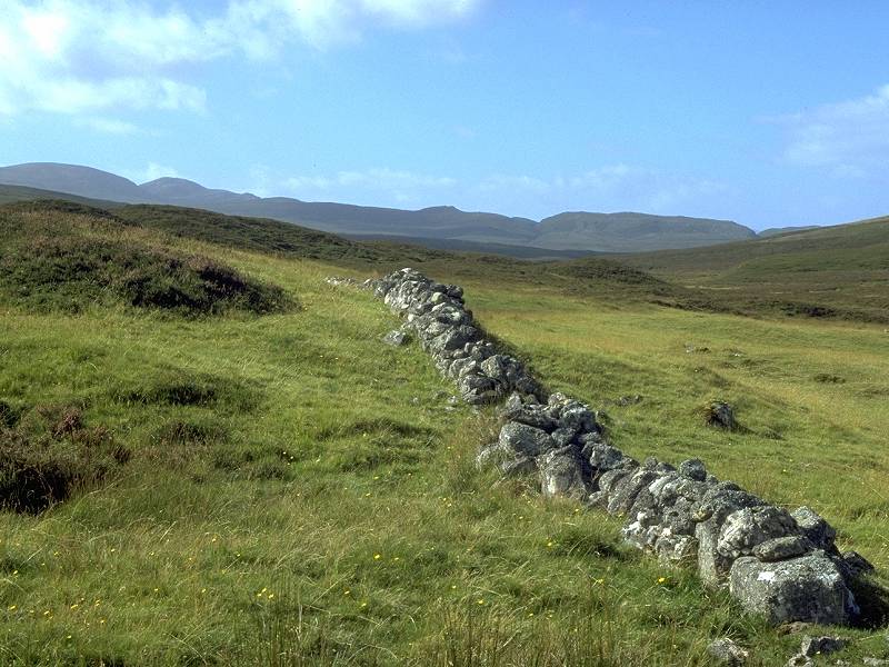
A stone wall adjacent to
Tighachrochadair. |

|
The enclosure in which the cottage
and its
adjacent outhouse stands is quite lush. |

|
This stream is the Allt Gowrie, and
it's
crossed immediately downstream of this point by a low-slung Indiana
Jones-style
wire bridge. Unless the stream is in spate it's actually far easier to
wade or boulder-hop across than it is to use the bridge. |

|
A meagre track leads up the far
slope away
from the bridge... |

|
...to meet a poorly-used but
reasonably distinct
vehicle track on the north side of the glen. This is the view back down
to Tighachrochadair. You can just see the wire bridge in this shot. |

|
Our route to Altgowrie and the
Beauly firth
now lies eastwards along the vehicle track. The scenery is fairly drab
at first. |
|
....but after passing this little
lochan... |

|
...things liven up a bit. |

|
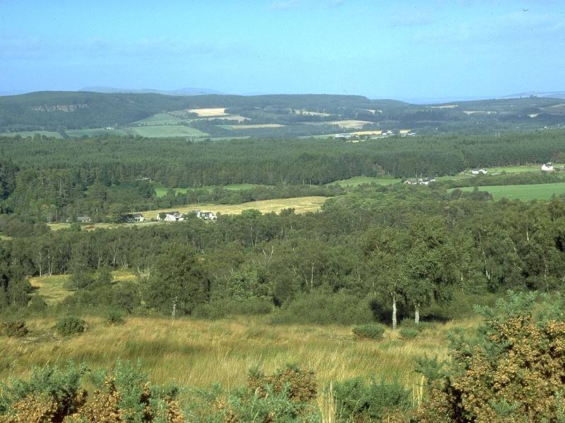
The lowlands of the Beauly firth
are beginning
to appear now, and we also see the edge of a forest plantation ahead. |

|
Looking back from the same spot,
and the
mountains around Glen Strathfarrar look rather reproachful. |

|
The track nears the farm of
Achederson and
the white blocky building that is the Muir of Ord distillery comes into
view some five miles ahead. |

|
The track reaches the foot of the
glen and
the track loses height as it approaches the rather more pastoral
country
of the Beauly firth. |

|
The track improves as we approach
the farm. |
|
Just before we reach the farm, we
pass this
lochan and forest plantation on the left. |

|
Achederson farm, which we pass to
the right... |

|
...to gain this driveway leading
down to
the Altgowrie road. |

|
Looking back at the farm. |

|
From here we can see acoss to the
grea bulk
of Ben Wyvis.. |

|
...and the lower hills and ridges
near Strathpeffer,
Contin and Dingwall. |

|
An Alpine finish to our walk as the
driveway
descends through sunlit trees... |

|
...out to the road at Altgowrie. |

|
The public road. Muir of Ord is
three miles
away to the right. |

|
...while Altgowrie lays a quarter
of a mile
along this road to the left. |