


The initial
approach is along a rough track under the viaduct that gives access to
a couple of farms laying beside Winterscales Beck. The route is quite
intricate and you need to keep a close eye on the OS map. The route
passes beside Gunnerfleet farm and crosses the beck at Ivescar, after
which it turns right for Broadrake and then ascends the Whernside ridge
itself by a direct and pretty steep path.


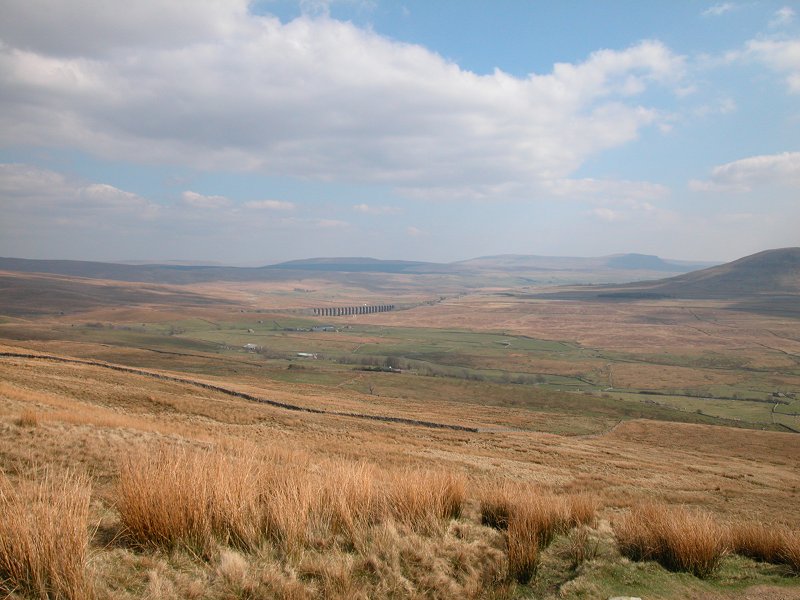
The path reaches
the ridge at a spur known as Selside, roughly a kilometre southwest of
Whernside itself. The viws are magnificent up here, particularly across
to Ingleborough and down into the bowl of Ribble Head itself. From up
here you can truly appreciate the lonely, inhospitable country which
the Settle-Carlisle railway line crosses.


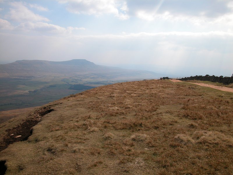
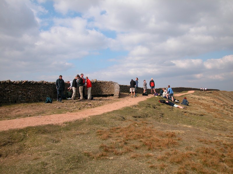
The route runs
along the ridge to the summit of Whernside. Despite its elevation the
ridge carries a path so broad and well maintained that you could
probably drive along it. A stone wall runs along the crest. At the
summit itself the wall is formed into a pair of recesses with a gap
between them, and the Ordnance Survey's trig pillar lays right
alongside. The place is a natural lunch halt for walkers and it's very
unlikely that you will have it to yourself.


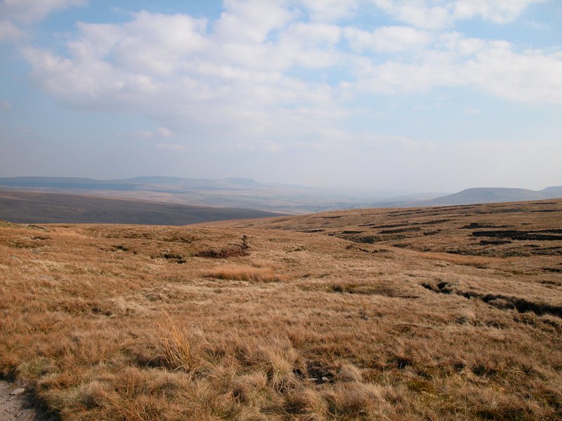
The route off
the summit continues along the crest of the hill to the northeast.
You're heading for the outlier of Knoutberry Hill, and to your right is
the lonely tarn of Greensett.


At Knoutberry
Hill the path descends from the ridge to the east, crossing an area of
wild moorland. The channels to your right are the feeders of Force
Gill. The scenery is magnificently wild.


Our path joins a
significant track, here forming part of the Craven Way, to descend the
spur of Slack Hill back towards the railway.


The route
crosses the railway by an overbridge just south of the portal of Blea
Moor Tunnel. From here the rest of the way back to Ribble Head lays
alongside the railway, a distance of around two miles.


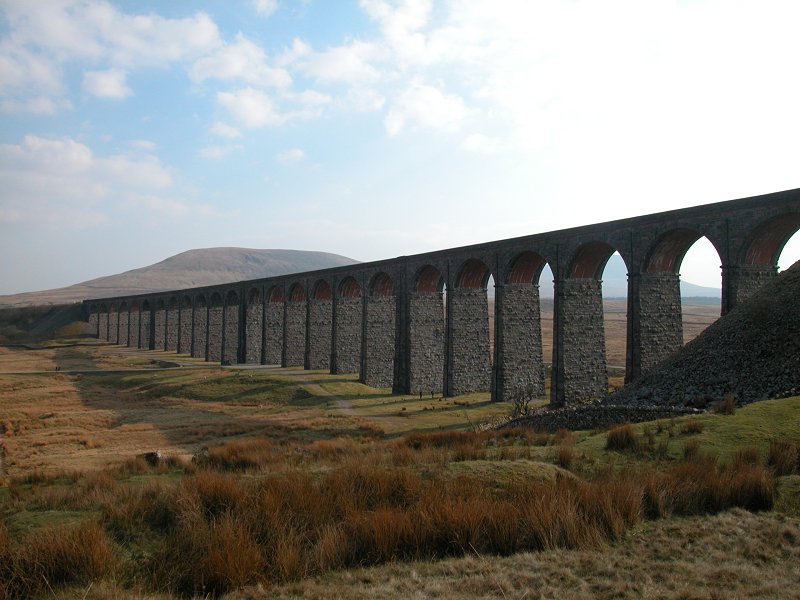


Finally, having
passed Ribblehead Viaduct again and rejoined the outward path, the
route reaches Ribblehead Station in good time for the train back to
Leeds.

