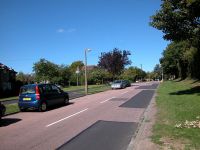
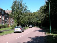
Grove Lane
You
enter the borough of Sutton from Woodmansterne Road in Coulsdon,
Croydon. The road becomes Grove Lane as you cross into Sutton. There
were houses on both sides of the road in Woodmansterne Road but now
that it's Grove Lane there's a golf course on your right, behind a high
hedge and trees.
This locality is called Clock House. A glance at the map tells you that it's really just part of Coulsdon and has no connection with any other part of Sutton. It's probably one of those situations in which a building development has spilled over an old administrative boundary - there are hundreds of these all over the country.
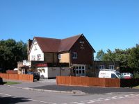
You pass the Jack & Jill pub (third image above) after which there's just another couple of hundred metres of residential road and then you come out into open country.
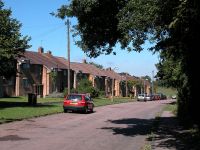
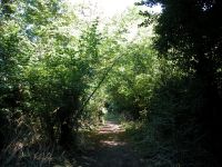
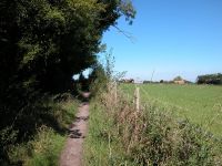
Grove Lane and the Woodcote Estate
A hundred metres or so beyond the houses be sure to take a left fork.
Woodcote
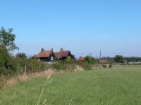
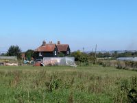
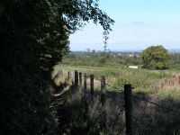
The smallholdings at Woodcote
You're
now in an area of pasture and heath, apparently the former Woodcote
estate. Several houses of black painted clapboard are dotted about over
to your right, apparently built by Surrey county council in the 1920's
to provide an opportunity for demobbed soldiers to set themselves up as
farmers. The area doesn't seem particularly productive and most of the
surroundings are of rough pasture or heath. The area is at quite an
elevation, which allows a view right over to central London and the
towers of the City and Canary Wharf.
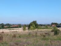
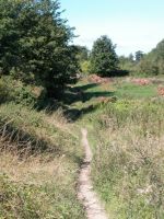

Woodcote heath
The
track curves gradually around to the left beside a hedge. It's
approaching a road but about 250 metres short it takes a rather curious
dogleg to the south. Look out for a stile on the left and then make
your
way across the heath on the diagonal. There's not much of a path and a
set of enclosure boundaries shown on the map appears not to
exist. At the
far corner turn left onto the road and follow it for about 250 metres.
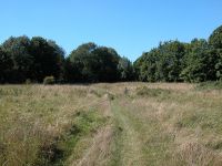
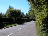
Woodcote Heath and Carshalton Road
Once
you reach the farmhouse shown in the first image below go to the right
for a footpath within a pasture. There's a path junction about a
hundred metres beyond, shown by the fingerpost in the second image
below; turn half right here and head directly across the meadow to the
north. There's no visible path.

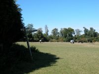
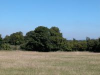
Pastureland west of Woodcote
There's
a stile among the trees. Cross this and then cross the succeeding
pasture in the same general direction to another line of trees beyond.
The path is at least visible here.
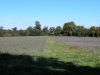
Approaching Oaks Park
Oaks Park
The trees mark the course of a busy road. Cross it (it might take while) and go forward into Oaks Park.
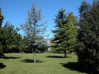

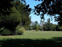
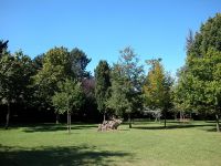
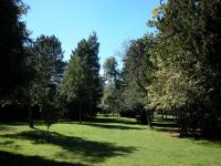
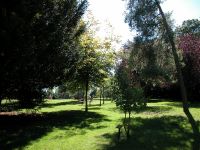
Oaks Park
Oaks
Park is a pleasant little place. It's the remnant of a country estate
known as Lambert Oaks, and apparently the Oaks horse race was named for
it. The main estate house was demolished in 1960 but many outhouses
remain, including one that functions as a surprisingly downmarket cafe.
The park is planted extensively with trees.
The route of the London LOOP through and beyond the park is a little difficult to suss out in practice. Starting from the buildings head to the west through the trees. You should come out onto a rough-ish path tending to your left, back towards the road. The path almost brushes the roadside before curving gradually to the right again, going some ninety degrees around an open area partially screened by trees to your right. At a track junction go hard left, back towards the road. Just as you reach it turn hard right for a sigificant track heading northwest. This is known as Fairlawn Road. Go along it for some 250 metres. Just beyond a house on the left, pictured below, go left onto a track called Freedown Lane. At ths point you leave London and enter Surrey to cross Banstead Downs.
The route of the London LOOP through and beyond the park is a little difficult to suss out in practice. Starting from the buildings head to the west through the trees. You should come out onto a rough-ish path tending to your left, back towards the road. The path almost brushes the roadside before curving gradually to the right again, going some ninety degrees around an open area partially screened by trees to your right. At a track junction go hard left, back towards the road. Just as you reach it turn hard right for a sigificant track heading northwest. This is known as Fairlawn Road. Go along it for some 250 metres. Just beyond a house on the left, pictured below, go left onto a track called Freedown Lane. At ths point you leave London and enter Surrey to cross Banstead Downs.
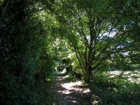
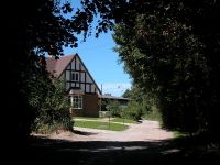
the LOOP west of Oaks Park; house on Fairlawn Road
Banstead Downs
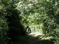
Freedown Lane
Banstead
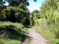
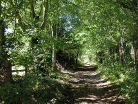
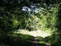
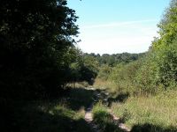
Downs is the best stretch of open county since Farthing Downs in
Coulsdon, many miles behind us now. Freedown Lane runs almost dead
straight for slightly over a mile, mainly through a screen of trees to
either side. It's spoiled ever so slightly by the presence of Highdown
Prison just off to the right, but you don't really see much except for
the perimeter fence. There are a couple of houses off the track to the
right here and there.
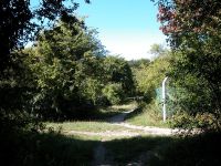
Banstead Downs
A
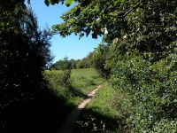
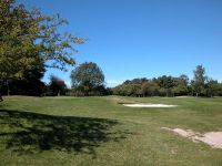
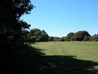
few minutes' walk beyond the prison Freedown Lane crosses a railway
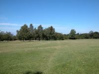
line by an underbridge and emerges onto the fairways of Banstead Downs
golf course. You will need to observe the normal courtesies such as
pausing while golfers tee off or attempt putts, and be on the lookout
for flying golf balls. The path kinks about 30 degrees to the left
after emerging from beneath the railway bridge, and switches between
stretches of obvious footpath and fairway crossings. Eventually you
come out onto a disconcertingly busy dual carriageway, the A217 Sutton
bypass.

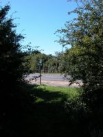
Banstead Downs golf course
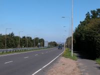
Crossing the A217
Once
across the A217 you reach the other half of the golf course. You have
the option of breaking the walk here and following a track straight
ahead for Banstead station, just 400 metres away, but the LOOP turns
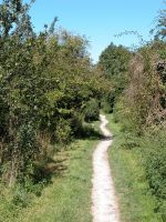
right to follow an obvious path just west of north. It's not quite as
straight on the ground as it looks on the map but it threads its way
cleverly between the fairways, making use of screens of trees and even
the occasional ribbon of woodland.
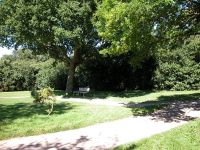


Banstead Downs golf course
The
golf course stretches for a good mile to the northwest, as far as the
outskirts of East Ewell, but there is no right of way across the
greater part of it so the LOOP is obliged to re-enter suburbia. At the
far end of the path you go through a narrow screen of trees to find
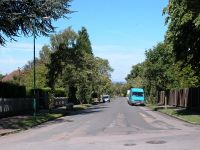
yourself looking down the length of Sandy Lane. Here you cross back
from Surrey into London and the borough of Sutton once more.
Belmont

Sandy Lane
This
locality doesn't appear to have a name as such, the nearest place on
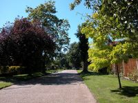
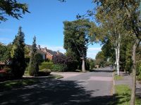
the map being Belmont about a mile to the northeast. It's a thoroughly
pleasant area of wide and leafy roads and big houses. Follow the road
for half a mile then go left into Cuddington Way, then right into
Cheynham Way, then left into Northey Avenue.

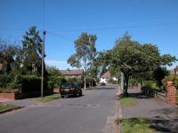
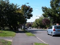

Suburban roads, Belmont
About
a hundred metres along Northey Avenue you pass a sign welcoming you
back into Surrey again, this time into the borough of Epsom and Ewell.
We've seen the last of Sutton but for the purposes of the LOOP I'm
going to include the Ewell part of the walk on this page, and stay with
it until it reaches Kingston on Thames about three miles ahead.
East Ewell
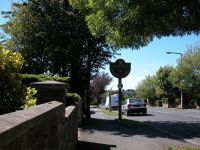
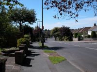
Entering East Ewell from Sutton
The
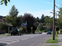
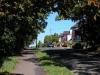
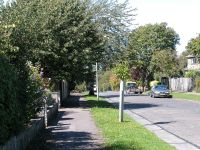
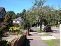
first section of the LOOP's incursion into Ewell is residential.
Continue along Northey Avemue as far as a big roundabout. There's a
stretch of open country over to the left, and should the LOOP ever be
diverted away from the present residential area this is where it will
rejoin the present route. Turn right onto Cheam Road, a wide avenue
with service roads to either side (second image below). Continue along
this road for about 300 metres then cross to the west side and turn
left into Bramley Avenue.
Residential roads in East Ewell
Bramley
Avenue continues the pleasant residential theme. After about 300 metres
you cross a road and then go under a railway bridge to emerge in
Nonsuch Park.
Nonsuch Park
Warrem Farm
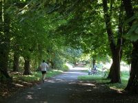
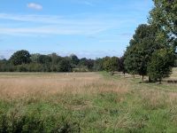
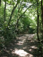
On
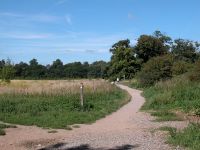
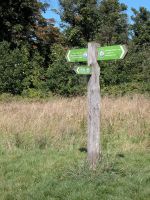
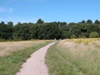
the west side of the railway line you find yourself in an area of
heath. This isn't Nonsuch Park proper but Warren Farm, owned by the
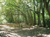
Woodland Trust. Follow the prominent path seen in the images in the row
above to a belt of trees, which hides a long, straight concrete
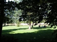
roadway. Now we're in Nonsuch Park proper, which stretches away to the
north. Nonsuch Mansion lays over to the right, off the route of the
LOOP; it has a cafe and a toilet as well as gardens, so is worth the
diversion if you have the time.

Nonsuch Park
Turn
left onto the concrete track. You follow this for about a kilometre.
The wide open spaces of Nonsuch Park lay to the right through most of
this stretch but towards the far end the screen of trees gets wider and
you come to a small area that is more woodland than parkland. Just
beyond and to the right is an odd structure, a low brick wall
surrounding a raised earth platform. This is all that remains of
Nonsuch Palace, a sixteenth century building begun by Henry VIII (first
image below). The route here is a little complex so watch the route
markers and study the map carefully. Having passed the earth platform
turn left along the field edge. Walk along beside a fence to emerge at
the main A24, and cross it into West Ewell.
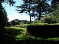
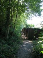
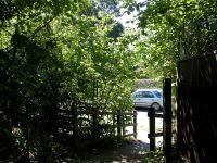
The remains of Nonsuch Palace, and the path to the A24 crossing
West Ewell
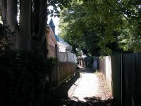
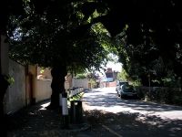
Entering West Ewell
The
first steps in West Ewell are along a narrow footpath. There are some
rather fine buildings ahead on either side, of which the most obvious
is Ewell Castle, a nineteenth century mansion now used as a school
(first image below). A rather imposing building opposite appears to be
residential. Continue along Church St out to the crossroads in the
centre of West Ewell.
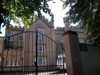
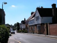
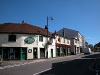
Ewell Castle and West Ewell centre
One
would think that a place as significant as Ewell would have a sizeable
town centre but in reality it's far more like a village; a place of old
houses, many of great character, containing just a tiny spattering of
commercial premises. If you were looking for a cafe you're out of luck,
though unless it's a Sunday or a bank holiday you will find a pleasant
little tearoom in the library in Bourne Hall Park up ahead. As you
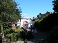
emerge from Church St turn right to go north along the high street,
then after 100 metres go left through the white arch into the park.
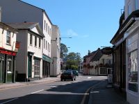
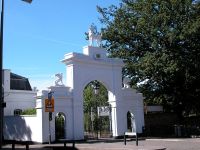
Ewell high street, and the entrance to Bourne Hall Park
Bourne
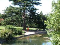
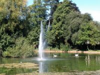
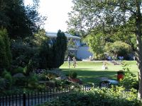
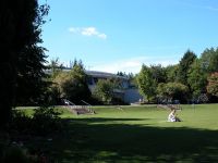
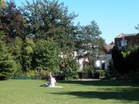
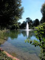
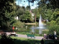
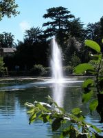
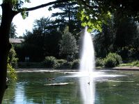
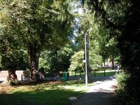
Hall Park is an exceedigly pleasant interlude, an area of lawns,
gardens, rockeries and tree cover surrounding a lake with a fountain.
Borne Hall itself is a modern building housing the local library and
museum, and also has a cafe.
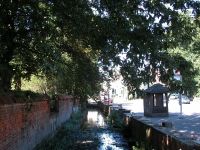
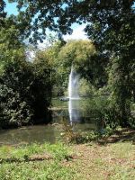


Bourne Hall Park
Choose
your own route through the park but be sure to head for the northern
tip of the lake. If you want to break the walk here then Ewell West
station lays a short walk to the west (be aware that it's outside the
London fares zone system). Otherwise go around the top end of the lake
to the left and pass a smaller pond to reach a busy road junction by a
pub.
Bourne Hall Park
From here on we follow the Hogsmill river to the Thames at Kingston Bridge.
Hogsmill River


Hogsmill River at Ewell
Look
out for a littke park just to the northwest of the road junction.
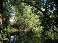
There's a small stream running through it. This is the Hogsmill river,
whose effective source was the lake and ponds immediately behind you.
There was once a mill near here and a couple of mill ponds still exist.
The river winds first northwards and then northwestwards through a
narrow ribbon of trees, and the LOOP follows the path on its right
(east) bank.
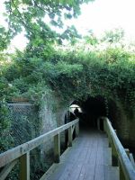
Tunnel
The
river and path dive under the railway line from Ewell West. The tunnel
is narrow and the path is carried through it on a plank bridge built
over the river itself.


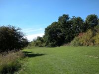
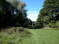
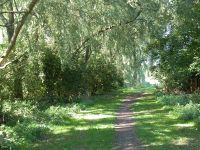
River meadows beside the Hogsmill
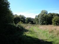
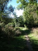
There
now follows a long stretch of riverbank walk, mainly through a series
of meadows on the right (east) bank of the river. The river and its
meadows form a fairly narrow ribbon of green running through the sprawl
of West Ewell, and the rows of houses are never far away.
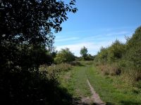
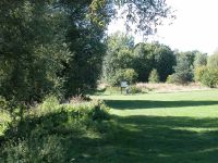

The LOOP by the Hogsmill
Near
Ewell Court, about half a mile beyond the railway bridge, the path
switches briefly to the left bank. The path is briefly enclosed by
fences and screens of trees but at the next footbridge it switches back
to the right bank. After a further half mile you cross a road, after
which the riverbank theme continues.

Hogsmill river meadows
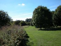
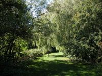
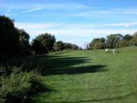
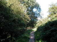
It
would be nice if there were a few bench seats dotted about but there
are none on the entire two mile stretch between Bourne Hall Park and
Tolworth Court Bridge. This final section of river meadow curves
gradually around to the right, converging with a line of electricity
pylons and eventually arriving at the main A240 Kingston Road just by
Tolworth Court Bridge.

The approach to Tolworth Court Bridge
Tolworth Court
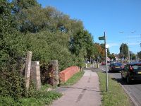

Riverside path on the Kingston bank
The
Kingston road is a busy highway and suddenly all is noise and hustle.
Negotiate the road crossing and turn left to walk over the Tolworth
Court Bridge. The river marks the London-Surrey boundary for the next
mile and here we cross into the borough of Kingston-on-Thames, but the
riverside path is incomplete and we will have to make a further
incursion back into Ewell shortly, so for the purposes of this web page
I'll continue the narrative here untill we reach Kingston properly.
Turn right immediately after the bridge for a narrow riverbank path.
It's not terribly scenic, being enclosed by high fences and thick
vegetation.

Riverbank path
At
the next road the riverbank path ceases. The guidebook tells us that
there is no riverbank continuation "at present", which suggests that
there might be one at some future time, but for now we have to turn
right and cross the river back into Surrey once again. Just across the
river is a busy road, the B284, and standing on the other side is the
Hogsmill Tavern. The B284 would have been the next best route but it's
narrow and winding and lacks a footpath, so we have to walk southeast
for 250 metres along Cromwell Road for the next left turn, Grafton Road.
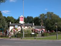
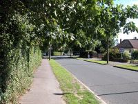
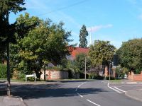
Hogsmill Tavern, Cromwell Road and Grafton Road
At
a bend just before the church turn left again, into Royal Avenue. This
is a real curiosity of a road, most of it unmade and part of it
narrowing to no more than a footpath. Its commencement looks very much
like a private drive and is easy to miss, but if you do so just loop
back behind the church.
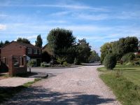
Royal Avenue
About
250 metres beyond Royal Avenue, just a little way ahead of the image
above, the LOOP crosses back from Surrey into London for the final time
and enters the borough of Kingston-upon-Thames.
Back to Borough of Sutton index page
Back to Borough of Sutton index page