

Kingston Bridge
The
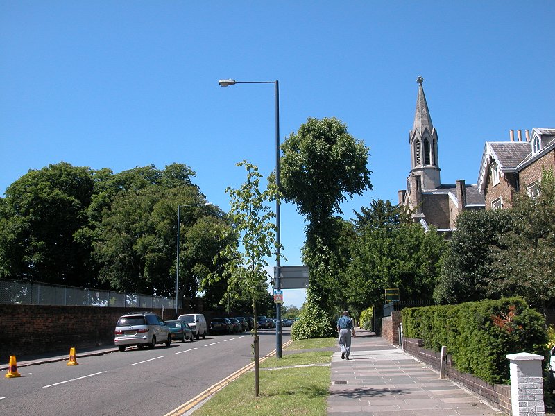
LOOP enters Richmond across Kingston Bridge from Kingston-on-Thames.
It's said that the original Kingston bridge was once the first crossing
of the Thames upstream of London Bridge, which of course would have
made it a bridge of strategic importance. On the Richmond side of the
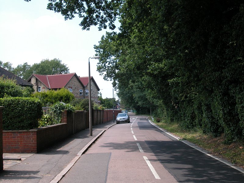
bridge you come immediately to Hampton Wick, which despite modern
housing and office developments still manages to look much like the
country village that it once was. If you have the time to spare, a
diversion to the right will reveal some of its charms. The LOOP,
however, goes half-left at the main road junction beyond the bridge,
passing on the left one of the gates of Hampton Court Park. The park is
a remnant of the royal hunting grounds attached to Hampton Court
Palace, just over a mile away; it is covered more fully under the
Hampton Court page.
Church Grove
About
a hundred metres beyond the road junction turn left into Church Grove.
This is the B358 road to Teddington and is itself quite busy, but after
another 100 metres turn left through a gate, more or less opposite the
church. This gives access to a lane, an avenue for most of its length;
there appears to be a mixture of allotments and sports grounds off to
either side. One thing you will probably notice is the lack of London
LOOP waymarks; this seems to be a peculiarity of both Richmond and
Hounslow boroughs and you won't see another waymark for nearly 12
miles, until you reach the towpath of the Grand Union Canal in Hayes.
Throughout the
Richmond and Hounslow sections you really need to keep an eye on the
map and guidebook.

Approaching Bushy Park
Bushy Park


Entering Bushy Park
The avenue reaches a gate, the entrance to Bushy Park. The
park is vast. It covers an area of roughly four and a half square
kilometers. It was one of the areas of land gifted by Cardinal Wolsey
to Henry VIII and is almost contiguous with Hampton Court Park to the
south, separated from it only by the main road (nowadays the A308) and
its accompanying walls, and the Royal Paddocks. Bushy Park has a little
more variety of landscape than Hampton Court Park; although most of it
consists of the same rough grassland it is dotted with clumps of
woodland, lakes, watercourses and sports grounds. We reach the first of
these, a cricket pitch, immediately on entering the park.


Bushy Park - the first section, approaching Leg Of Mutton Pond
Immediately
past the cricket pitch turn half right on a grassy path (first image
above, top row) heading towards an open clump of trees, the Oval
Plantation. If you're not sure of your direction then head as far as
possible for the eastern corner of the plantation. Just beyond you'll
reach the first of two lakes, the oddly named Leg of Mutton Pond. The
name probably derives from the pond's irregular shape.


Leg Of Mutton Pond
The
pond is a popular hang-out on a warm summer day. The chances are that
you'll have seen hardly anyone since entering the park but once you
reach the ponds the place starts to come alive. The pond is part of the
Longford River, an artificial river channel commissioned by Charles I
to provide a water supply for Hampton Court. The river runs for some 13
miles from the Colne to the west.


The water channel west of Leg Of Mutton Pond
The
route of the LOOP is a natural excursion among the ponds and channels
of Bushy Park and it would be difficult to come up with a better line,
but this is after all a park and you have ample scope for choosing your
own path and wandering at will. From Leg of Mutton Pond the route runs
to the west, along the river channel joining it to Heron Pond nearby.
The immediate environs represent English parkland at its best.


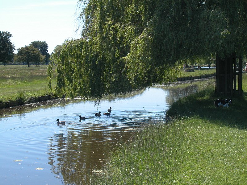
Heron Pond
Heron
Pond is a gem. The lake is fringed with paths, clumps of trees and
swards of short turf, perfect picnic country (and thanks to the nearby
car park a fair number of people will be so indulging). It's possible
that you'll see some of Bushy Park's residential deer around this area.


Heron Pond
Make
sure that you have plenty of film or memory in your camera because
Heron Pond is exceptionally photogenic. I actually ran out of memory
here when I walked this section in June 2006 (having started out from
Malden Manor) and had to go through my shots deleting anything I could
bare to lose.


Leaving Heron Pond
The
LOOP keeps to the northern side of the pond, which narrows to a narrow
channel then broadens out again at its western end. Keep walking in the
same direction alongside a further water channel until it vanishes into
a culvert, then go half-left and up a slight bank to reach the main
road through the park, Chestnut Drive.


Chestnut Drive
Chestnut
Drive was originally meant to be a principal approach route to Hampton
Court and was designed to sweep towards a new north wing planned by
William III; this wing was never actually built and the avenue leads
simply to what is now the north gatehouse. About 400 meters to the
south is a round pond encircling the Diana Fountain, which is dedicated
to the Goddess of Love rather than the more contemporary Princess of
Wales. The LOOP crosses the Drive to approach the second gem of Bushy
Park, the delightful Woodland Gardens. You will first meet the
Longford river again; keep left (south) of this and walk alongside the
plantation fence until you find a gate into the wood.


Woodland Gardens
The
Woodland Gardens are centred on the Longford river and are about 800
metres long by 300 metres wide. The path follows the river, more or
less, but there are plenty of variations to explore. Some exotic
species can be found here, notably the swamp cypress whose roots stick
into the air by the water's edge like jagged teeth (second image above,
top row).


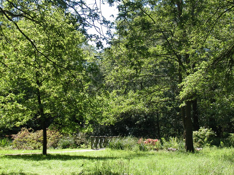


Woodland Gardens
Explore
at leisure. There are paths and swards of lush turf and bench seats,
there are flowering shrubs including rhododendrons, there are little
glades and areas of open parkland and clumps of denser woodland, there
are ponds and backwaters. Once again there is plenty to photograph. The
Woodland Gardens come to an end but across a brief strip of open
parkland is another woodland area that repeats the same theme to some
extent, the Waterhouse Plantation. Keep an eye on the map and go half
right at each main path junction, to reach a little pond by the cottage
of River Lodge. Now go half right again on a significant track heading
more or less north (image below).


Upper Lodge
The
track reaches the north end of the Waterhouse Plantation and now
runs once again along the edge of open parkland; a ribbon of trees to
your left conceals the course of the Longford River, which the LOOP
soon
leaves behind. The track approaches Upper Lodge (second image above);
this is not a single building but a substantial complex, although
little of it is seen. The lodge has had various uses, including that of
a military hospital and also as Eisenhower's European headquarters
during the second world war. I can find no information on its present
function.

Deer at Laurel Road entrance
The
track doglegs around Upper Lodge to the right, continuing its northward
course to approach the northern exit from the park at Laurel Road. This
is another point at which the park's herd of deer tend to congregate.
They are not tame as such but you can normally get within about ten or
twenty metres of them if you're careful.
Teddington


Fulwell
Suddenly,
it all changes. You go through the gate and within a couple of minutes
you find yourself in a residential road in Teddington. Cross the main
A313
and go straight on into King's Road, then left along Connaught Road; in
about 300 metres you cross the A311. Fulwell station lays a quarter of
a mile north along this road if you wish to break your journey here,
otherwise go straight on into Burton's Lane.

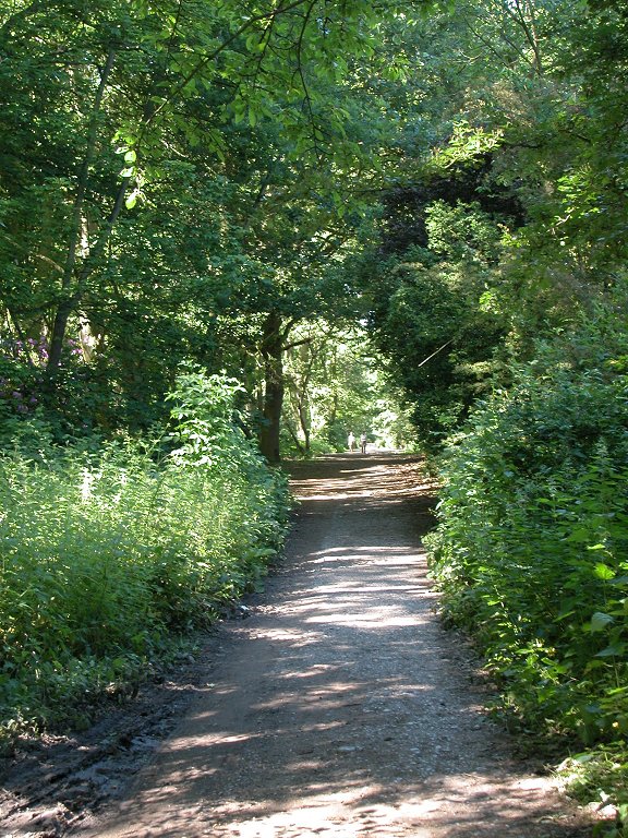
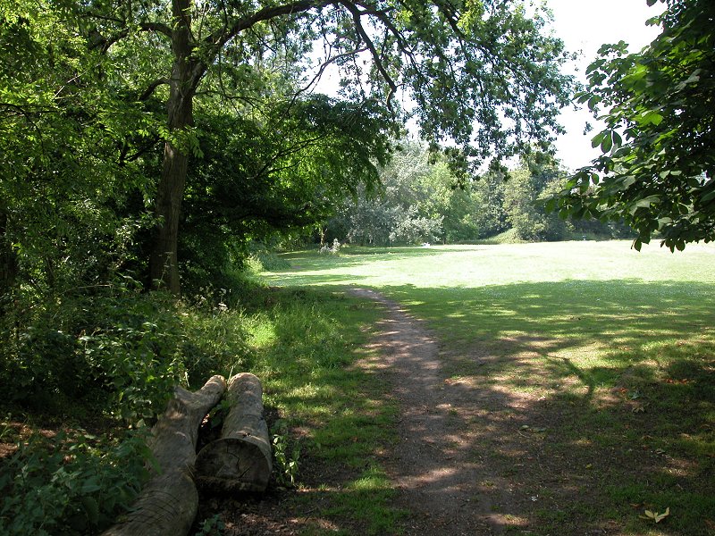
Burton's Lane
You
walk along Burton's Lane for the best part of a mile. The road is
pleasant enough but it doesn't reach the standards of the residential
streets we walked along in Bromley or Croydon. At the point where a
major road converges from the left, turn right onto a footpath. This
path doglegs a little but then sets out in a direction that would
represent the continuation of the main road behind us had it not merged
at the junction. This is Fulwell Park, which is partly an area of open
heath but in the main is taken up with a golf course and leisure
centre. Follow the path (first image, below) past the clubhouse and
then out through the car park to the main A305 Staines Road.


Fulwell Park
Whitton


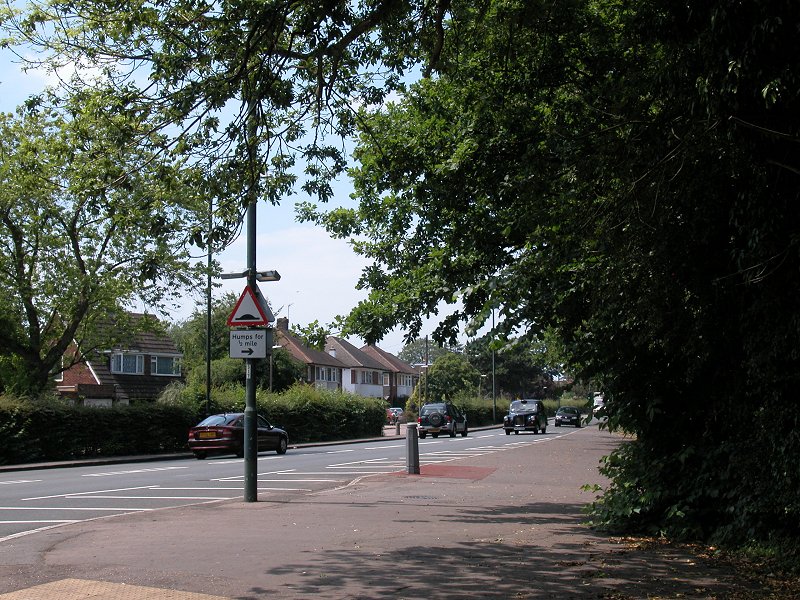
Staines Road
This
is the southern edge of Whitton, a residential area that occupies one
of the less interesting corners of Richmond. There's a bit of road
walking to do before we reach the LOOP's next green artery, the course
of the river Crane; you could more or less please yourself how you
reach it but the LOOP's official route has you walking for 500 metres
along Staines Road to the east, then left into Close Court Avenue,
right
into Rivermeads Avenue, left into Bye Ways and right into Willow
Way; at the end of this road (second image below) you reach a
T-junction with the B358 Hospital Bridge Road where you go left and
almost immediately come to the river bridge across the Crane.


South Whitton
Go
over the bridge and then down the bank to the grassy area on the north
bank of the river, then along the riverbank underneath a new concrete
road bridge, whereupon you reach the green tranquility of the River
Crane Park.
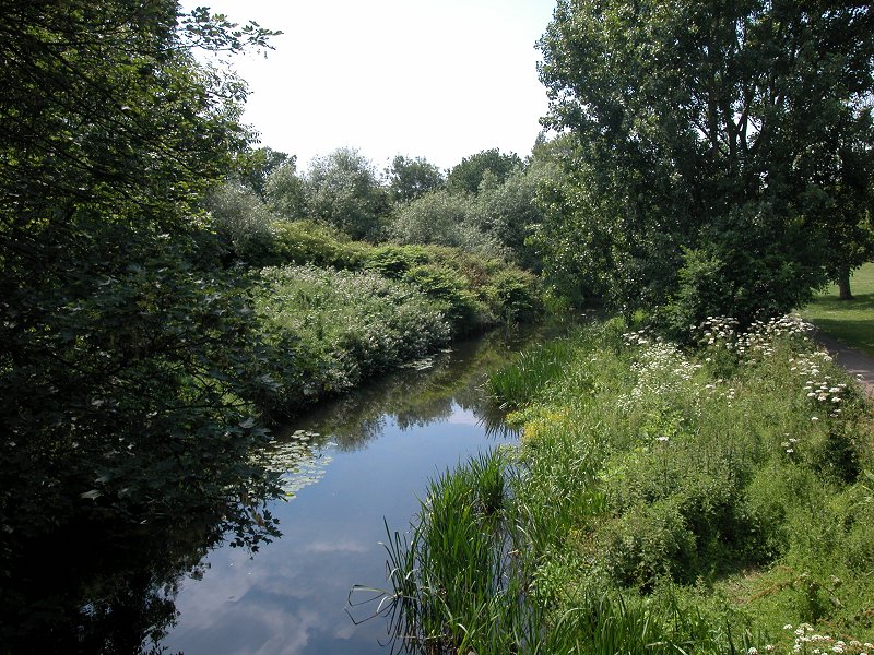


River Crane Park
It's
peaceful along here. There are housing estates not too far away from
either bank of the river but the screen of vegetation is pretty dense
and you see little of them. The park is up to a couple of hundred
meters wide and there is a choice of tracks for the most part, but I
stuck pretty much close by the river bank. Here and there you come to a
more open area where you could sit down for a refreshment break if you
wished.


The LOOP alongside the river Crane
It
seems a long way but in fact it's only some 900 metres after you leave
the road that you encounter the Shot Tower (second image below). It is
a remnant of the gunpowder industry, which according to the LOOP's
guidebook once thrived along the banks of this river. Despite an
apparent belief that the tower was used for the manufacture of lead
shot, it's said not to be tall enough for that purpose and must
therefore have had some more mundane function.


River Crane and the Shot Tower
The
riverside route continues, by paths wide and narrow, for another 600
metres to emerge onto the A314 Hanworth Road in Whitton.


Reaching Hanworth Road
Turn
right to walk along the road, which we follow for some three quarters
of a mile. It's a bus route and has services to Hounslow and to
Kingston should you wish to break the journey here. It's rather a busy
road and doesn't have a great deal going for it; it's mainly
residential though with a smattering of commercial properties and also
a cemetery. There are no shops, in case you were thinking of a
well-deserved ice
cream or cold drink.


Hanworth Road and recreation ground
Once
you cross a railway bridge go just over 200 metres further until you
come across a recreation ground to your left. Follow its nearside edge
(third picture above). At the far end go through the trees to a fence,
crossed by a stile. The fence is the borough boundary between Richmond
and Hounslow, and the stile is one of the entrances to Hounslow Heath;
the journey along the loop continues on the Hounslow page.

Entrance to Hounslow Heath