
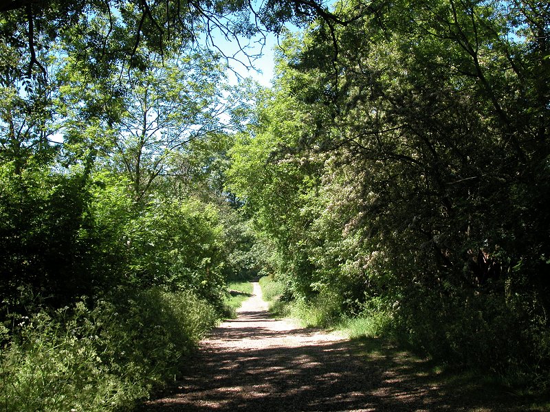
Royal Avenue
The Loop enters Kingston from one of its brief incursions into Surrey,
part-way along a road known as Royal Avenue. This road is a bit of a
mess - part surfaced, part gravel. Within 300 metres of crossing into
Kinston the road comes out at the B284 (first image below), which in
turn has been running parallel to the Hogsmill river.


Royal Avenue and St John the Baptist church
Follow
the road briefly then turn into the little lane (second image above)
that leads to the church of St John the Baptist. Here you turn left
onto a rough track that leads down a slope and emerges once more on the
banks of the Hogsmill.


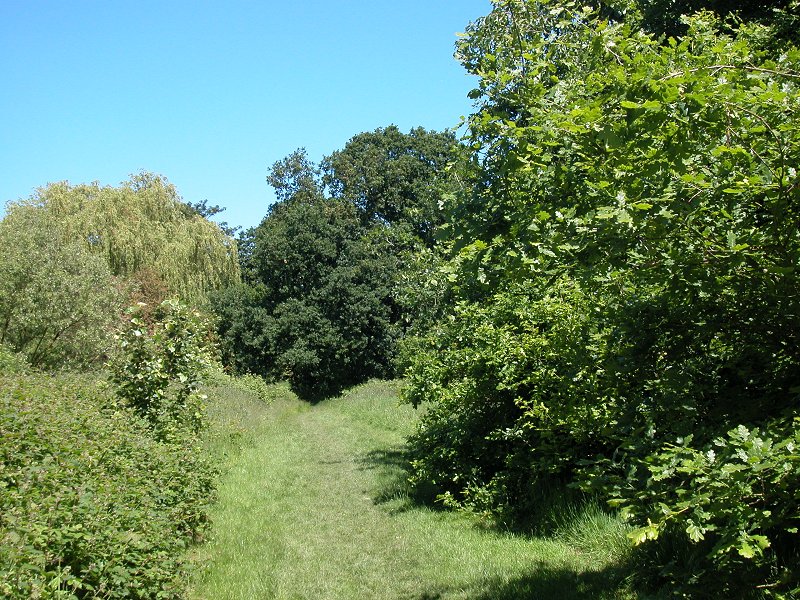
River meadows beside the Hogsmill
Initially
the riverside vista is an open and rather scrubby area. Turn right
(north) and follow the most obvious path. It accompanies the river
underneath a railway bridge, thereafter entering more benign scenery of
river meadows. Over to your right is a school and a patch of woodland,
beyond which are the residential roads of Old Malden; similar roads
back onto the narrower ribbon of green on the opposite bank.


Hogsmill river meadows and main road crossing
About
600 metres after the railway bridge you're in for a rude awakening -
the riverside path opens out onto the fighteningly busy dual
carriageway of the A3 Kingston bypass. To find the continuation of the
riverside path on the far side you have to turn left and walk west
along the road for some 250 metres as far as the pedestrian underpass -
and to reach this you have to cross a service road and bus route, so
watch out for traffic. There's amother service road on the north side.
Walk back along to the riverbridge and turn left into Hogsmill River
Park. The path now follows the west bank of the river.


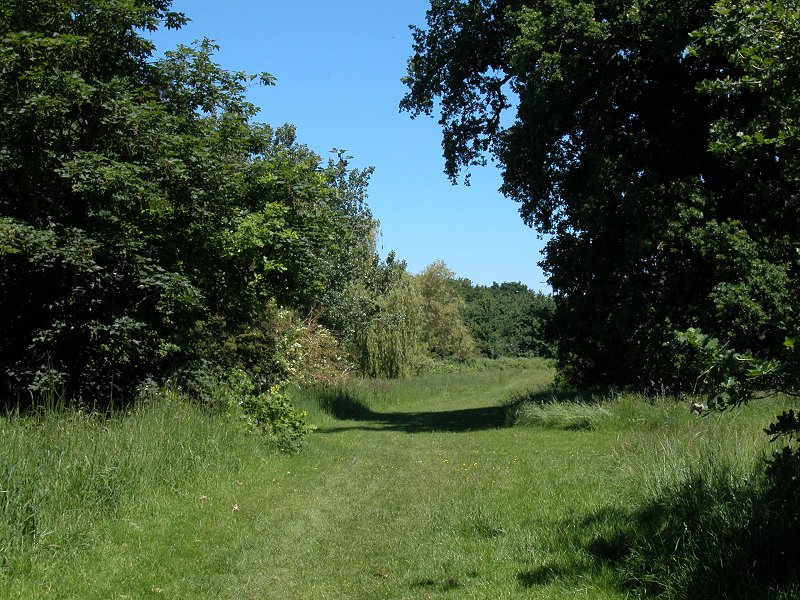
Hogsmill River Park
We're
back in riverside meadow country again. The meadows look a bit sparse
and scrubby early in the season so this is a walk best done in the
height of summer when the vegetation is lush. Once again, residential
roads back onto this ribbon of greenery on the west side of the river,
while to the east side there is a series of sports grounds. After some
900 metres the trees open out and you see a large area of grass ahead,
fringed with houses. You're aproaching Berrylands.
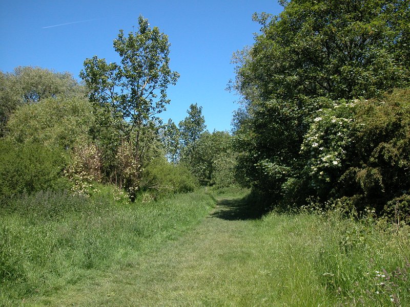
Berrylands

The LOOP approaches Berrylands
Berrylands
is another brief flurry of residential roads but it's not long before
you reach peace and quiet again - not that Berrylands is an urban
jungle by any means. At the apex of the green area at the north
end of Hogsmill River Park, turn left and walk along the quiet,
tree-lined road of Surbiton Hill Park (first image below). After some
250 metres you reach the Berrylands pub and here you turn right, and go
downhill the short distance to the station passing a short parade of
shops. Walk through the tunnel under the railway line to find yourself
on a tree-lined path and follow it half-left.


Berrylands
The
path runs through an undeveloped area nearly a square kilometre in
size. Much of it appears to be owned by Thames Water and you will
probably notice the somewhat earthy smell that tells you a sewage
treatment plant is not far away. The path runs for some 800 metres past
the various waterworks facilities and then passes an area of workshops
and light industrial yards, as well as a cemetry and accompanying
stonemason's yard. After this you reach another residential road, Lower
Marsh, and the locality of Villiers.
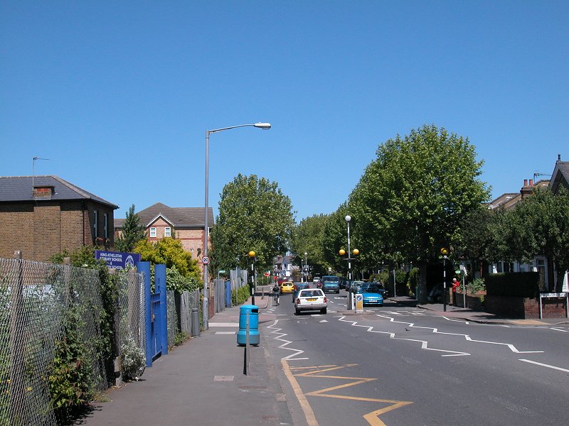
Villiers

Lower Marsh
Walk
along Lower Marsh until it comes out at the busy junction with Villiers
Road. You're a bit of a way south of the Hogsmill here and it's
necessary to walk north along Villiers Road for some 400 metres to
regain it. Cross the river (second image below) and go on a little
further past a school (third image). Now, follow the discrete sign and
turn left along a series of riverside paths.


Villiers Road


Pathways beside the Hogsmill
Kingston on Thames


The route alongside the Hogsmill
This
section looks bitty on the map and is also a sod to describe;
fortunately it's not difficult to follow in practice. A series of paths
and walkways allows you to walk beside the river, first on the north
bank and then on the south, for most of the next half mile. Although
you don't realise it you're progressing into the centre of
Kingston-on-Thames. The route is a little surreptitious and it's a fair
bet that many residents of Kingston don't even know that it exists.
There are just a couple of brief excursions into suburban roads; at one
point (first image above) you're disgorged briefly into Portland road
before another walkway gets you back to the riverbank, where you pass
along the rear of Kingston university. The river is quite pretty just
here.

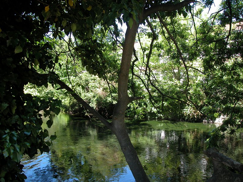


The Hogsmill passing Kingston university
Just
past the University you reach a blue-painted girder bridge, which
carries Springfield Road across the river. Here turn right and go a few
yards (third image above) to a 5-way crossroads, where you turn hard
right into Denmark Road.

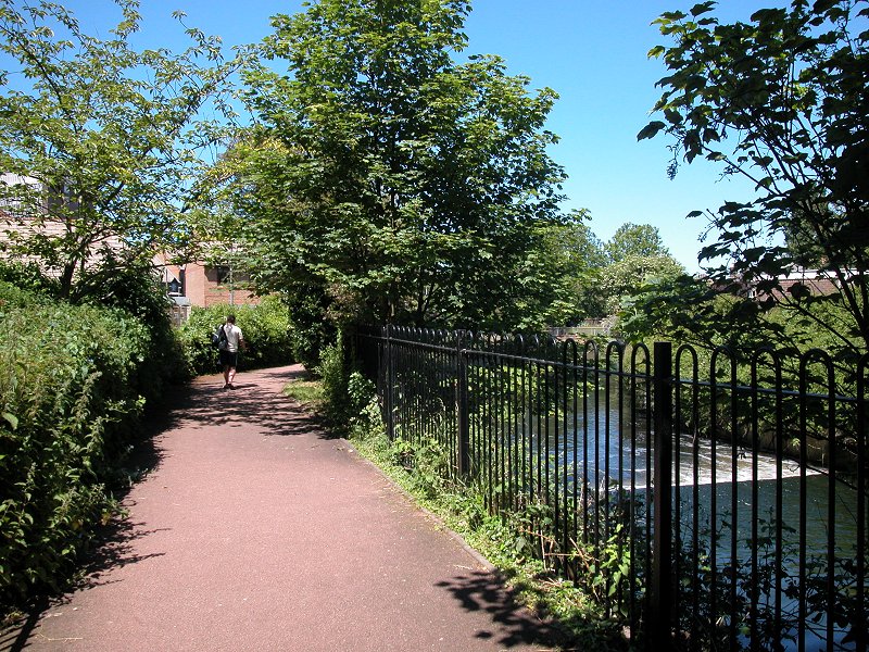


Denmark Road and more riverside walkways
You
don't need to walk very far along Denmark Road before another path gets
you back to the riverbank. You're now in a small area of fairly smart
residential flats, of which the waterside path is a feature. There's a
pleasant little weir here. Follow the path, which squeezes itself
between buildings (image below) to come out at a busy road junction
just south of Kingston town centre.


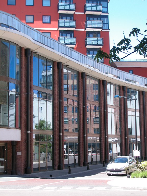
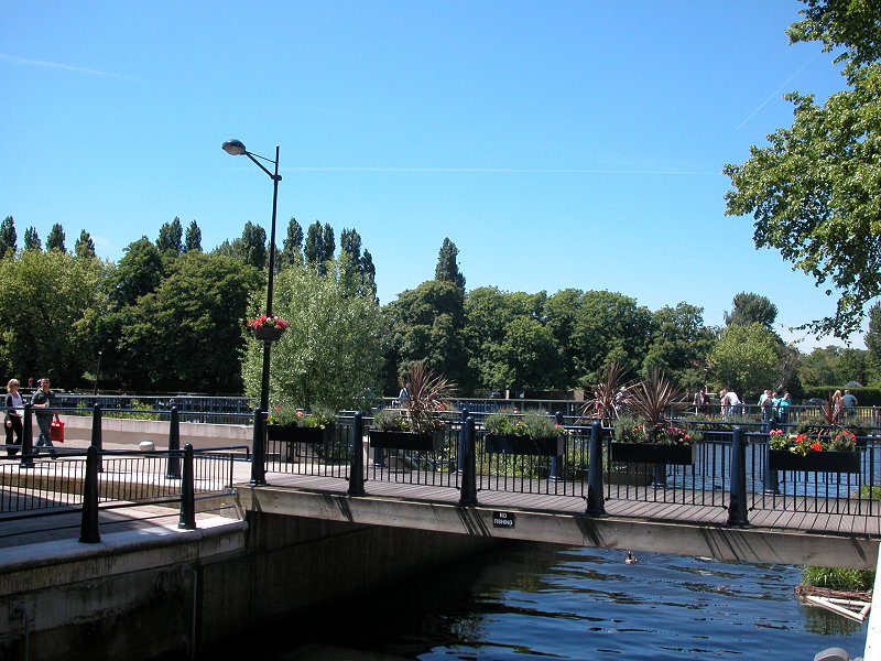
Kingston Guildhall
Now
things get a little tricky. The objective from here is to get to the
riverside walkway beside (and partially underneath) Kingston's
Guildhall. First cross the main road (Penrhyn Road) at the
pedestrian crossing, then turn right and cross King's Hall Road. Now go
into St James Road, which curves off half left. Not many paces ahead
and just before the riverbridge, turn left onto a riverside walkway (pictures, third image above).


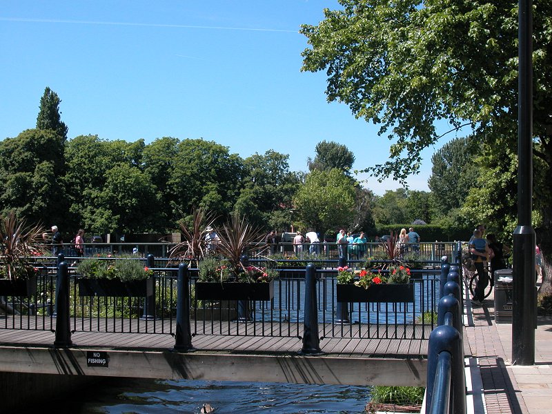
Kingston Guildhall
The
riverside walk emerges from the Guildhall grounds at the High St (third
image, top row above). The far bank is disfigured by an ugly disused
concrete platform but the environs of the High St just here are very
pleasant. It's worth crossing the bridge and going round to the
Guildhall grounds on the northeast bank of the river, where you'll find
the Coronation Stone set within a construction of pillars and railings
(first image, second row above).


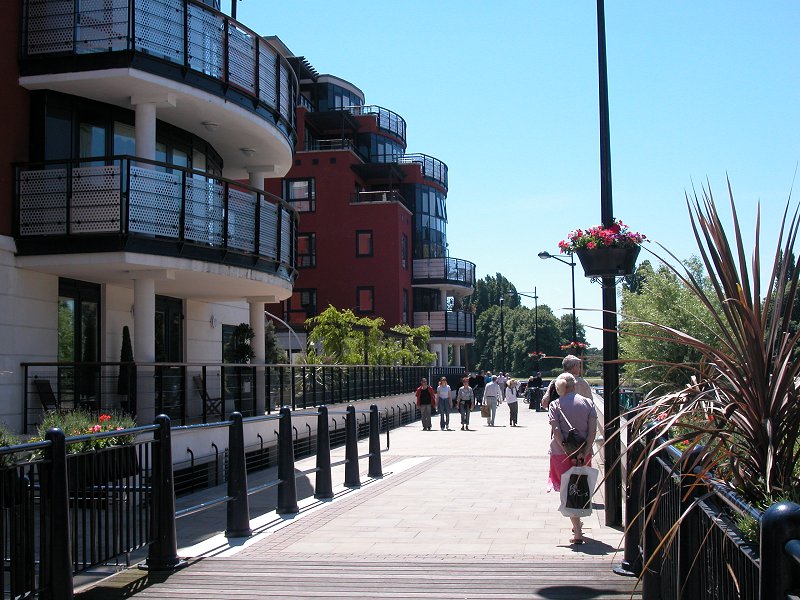
Last section of the Hogsmill
There's
barely 150 metres to go now until you reach the point where the
Hogsmill flows into the Thames. Having crossed the High Street, find
the narrow gate and flight of steps on the north side of the bridge
that takes you down to a smart riverside piazza, fronted by residential
apartments, bistros and bars. This development is typical of the way
much of the Thames frontage has been smartened up within the last few
years, and is most pleasing to the eye.


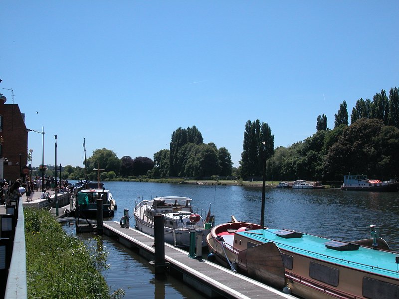
The Hogsmill reaches the Thames
At
the far end of this piazza you energe onto the Thames waterfront
itself, around 300 metres south of Kingston Bridge and adjacent to the
Gazebo and Bishops pubs, quite grand affairs that appear to be more
restaurant than pub nowadays. The waterfront is busy, with various
moorings and side channels and even a little wildfowl refuge. Turn
right to walk northwards along the river, to approach Kingston Bridge.


The Thames waterfront at Kingston Bridge
Now
it's just a simple matter of climbing the steps to the main road over
the river, and turning left to cross the bridge itself. The views
upstream are handsome; from here the river curves around the grounds of
Hampton Court and the far bank is undeveloped as far as the eye can
see. At the centre of the bridge you leave Kingston and cross into the
borough of Richmond.

Crossing the Thames into Richmond