

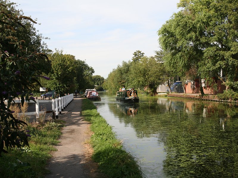
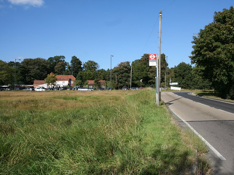
The Crane, and Cranford Park
The London
Loop enters the borough of Hillingdon at Cranford Bridge, which carries
the main A4 Bath Road across the Crane on the northeastern corner of
Heathrow Airport. There was once a ford here rather than a bridge, from
which the locality was named. The route of the LOOP now follows the
west bank of the Crane for a while. You turn right at the first
opportunity to come into Berkeley Meadows, which despite its evocative
name is no more than a patch of grass maybe a hundred meters wide. It
was here that I was intimidated by a bunch of teenagers, the only
occasion on which I'd felt unsafe while walking the LOOP. Don't let
that put you off.
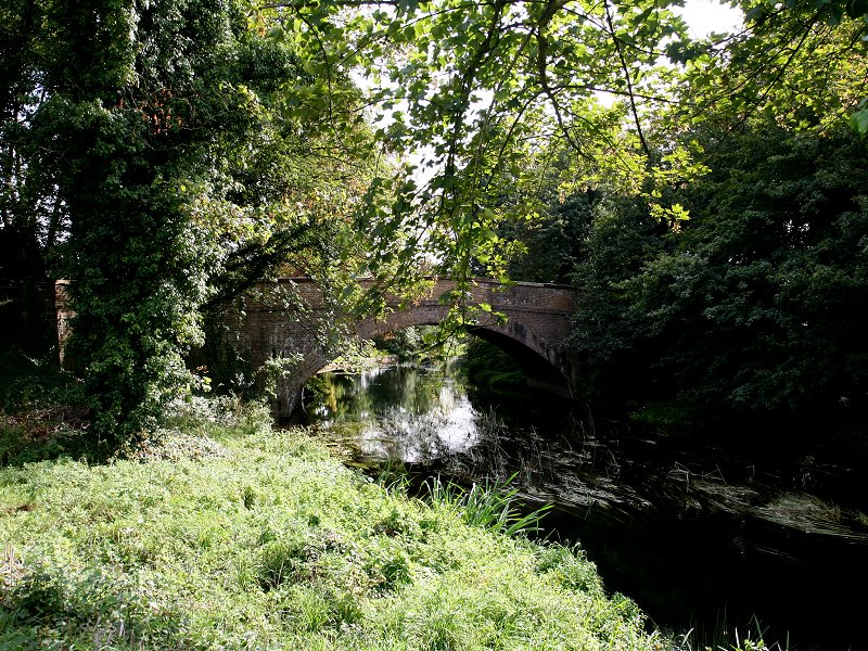
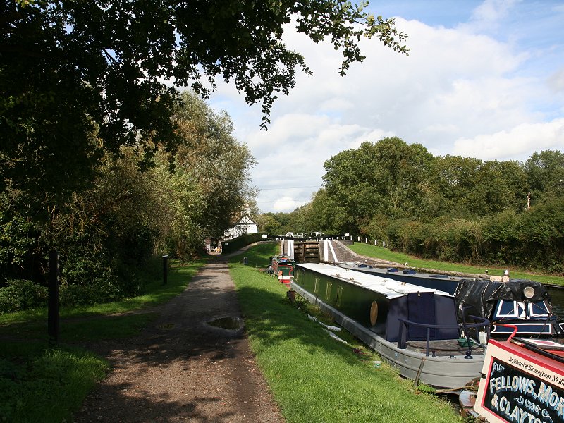
At the far end of Berkeley Meadows you reach a small back road. Go a few paces to the right along here and then find a meagre path heading half left into the trees. The road turns sharp right. Now you're in open countrty again, having entered Cranford Park. The river, which forms the boundary with the borough of Hounslow, is immediately to your right.
At the far end of Berkeley Meadows you reach a small back road. Go a few paces to the right along here and then find a meagre path heading half left into the trees. The road turns sharp right. Now you're in open countrty again, having entered Cranford Park. The river, which forms the boundary with the borough of Hounslow, is immediately to your right.


The Earl of Berkeley's mansion, and the M4 overbridge
The Cranford Park stretch runs for almost half a mile. When
you reach a footbridge over the Crane turn half right away from it and
head for the church you see a few hundred meters ahead. The church is
St Dunstans, which stands adjacent to what was once the Earl of
Berkeley's country mansion. The principal surviving part of his estate
is the ornate brick stable block (second image above). Turn half right
through the arch, after which a short lane takes you underneath the M4
motorway. At this point you've reached the psychological halfway point
of the LOOP; if you imagine London as the face of a clock then you've
just reached the figure 9, having started at the figure 3. Beyond the
motorway lies Hayes.
Hayes

Dog Kennel Covert
As you emerge from underneath the M4 dogleg right then left
to follow a path through a patch of woodland known as Dog Kennel
Covert. Beyond the short stretch of woodland is a grassy strip that in
turn gives way to a hedged track. Where the track ends turn right and
up a short track to reach the Crane pub (second image below).


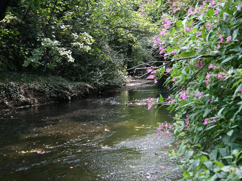
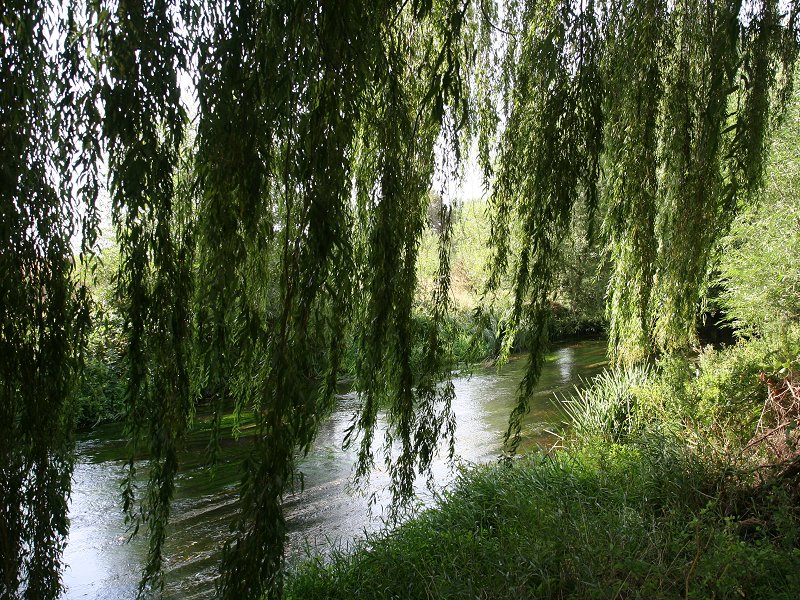
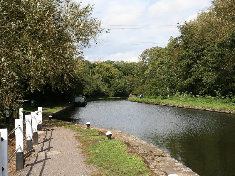
Watersplash Lane and the Crane Pub

Last view of the Crane
This is where the LOOP enters one of its less picturesque
stretches. We're about to leave the Crane to follow the Grand Union
Canal, which in its nineteenth century heyday was the principal trade
route between London and Birmingham, England's second biggest city. The
two mile section through Hayes is largely industrialised. To get to the
canal we first have to negotiate a new road layout. Cross the road and
turn right, crossing the Crane once more; this is the last time you'll
see it. Once across the river you come to a large roundabout. The
north-south road here is the A312, a busy dual carriageway. Turn left
and walk along the pavement beside this road, uphill over a viaduct
(second image below). This viaduct crosses the Grand Union Canal (third
image below); immediately afterwards, find the rather "functional"
(i.e. damn ugly) flight of steps to your left and go down to the
towpath on the north bank of the canal. The canal crosses the Crane
just here. This is also where we encounter the first London LOOP
waymark since Kingston Bridge.


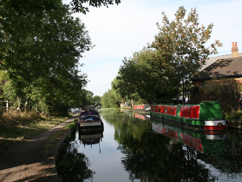
The A312 and the Grand Union Canal
If you have an interest in Britain's waterways then
it's worthwhile tracking back along the towpath towards London, for a
couple of hundred meters in this direction is the main London junction
of the Grand Union, where boats can choose to go down to the Thames at
Brentford, or take the branch to Paddington Basin (from where one could
continue to Little Venice, Camden Lock, City Road Basin and ultimately
Limehouse at the London docks. But otherwise we're headed west.


The Grand Union Canal towpath through Hayes
Our route now lies to the west, along the towpath on
the north side of the canal. In just over a quarter of a mile you pass
under a railway bridgem the main line out of Paddington; a few hundred
meters beyond here a road bridge provides access to Hayes and
Harlington station if you wish to break the journey.


Grand Union Canal, Hayes
The canal was, of course, a major trade route in its
day and many canalside stretches are lined by factories, warehousing
and various other industies even today. The canal through Hayes is one
such stretch and the surroundings are therefore not very elegant. Just
over a mile into the canal walk the canal and towpath follow a long
left-hand curve, passing under a bridge. Shortly after the end of the
curve the LOOP takes a diversion away from the canal to run through
Stockley Park.


The canal and Stockley Park
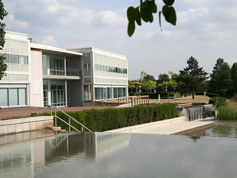
Access to Stockley Park from the canalside is through a
metal gate. The terrain looks initially like an old tip or landfill
site, and that's pretty much what it was, but it has been remodelled in
recent years into a smart new business park and a golf course. You
reach the business park first, an area of pristine new buildings
surrounded by greenery, water features and wide roads. Walking pass the
first block of offices (second image above) cross the road and bear
left to find the tree-lined path pictured above. The route is a little
confusing beyond here, even though there is now the occasional waymark.
Follow the map and the advice in the standard guidebook. curving
gradually left until you approach the prominent golfcourse clubhouse.
The cafe in the clubhouse is open to the public, although this fact is
not well advertised. Beyond the clubhouse is a confusing array of
gravel drives and car parks; aim generally northwest for a path
fringing a recent plantaion of trees and shrubs. This path curves back
to the west and climbs uphill towards a single tower suspension bridge
(pictured below).

Suspension bridge, Stockley park
The suspension bridge carries a footpath linking the
east and west halves of Stockley Park.
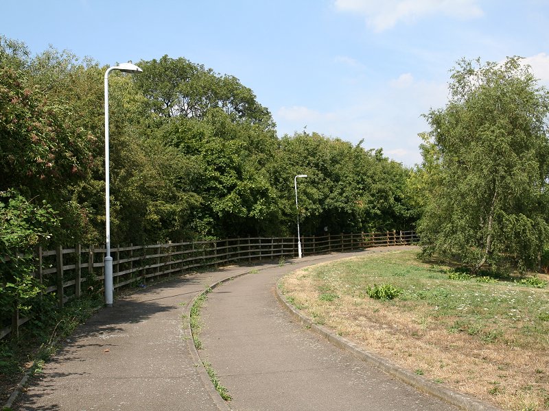
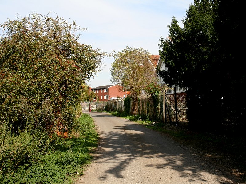
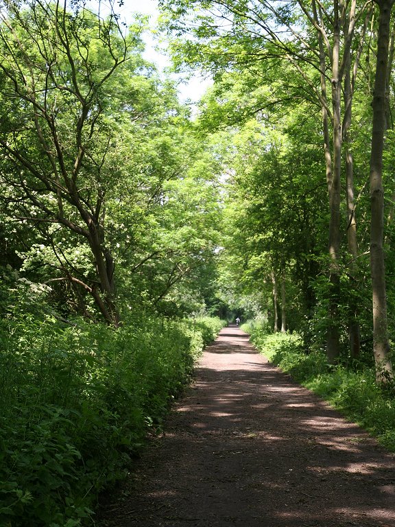
Yiewsley


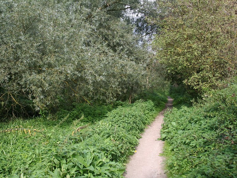
The heathland area of Stockley Park
You're in Yiewsley now. The western section of Stockley
Park is smaller and wilder than the eastern section, and the first
thing you encounter is a little heathland knoll from where there's a
pretty decent view to the south and west. Take the path going downhill
to the southwest (second picture above). The heathland scene continues
and there is a brielway to your left. Leave a playing field to your
right and continue along the path until you reach a road. At some point
in the near future a path is due to run straight on, running alongside
a final section of parkland, to reach the canal; until it's open a
diversion is in effect to the right, along a road passing through an
industrial estate (third image below).


Park and industrial estate, Yiewsley
At the next road junction turn left to reach the
towpath of the Grand Union once more.


The canal towpath to West Drayton
This section of towpath is pretty much the same as that
through Hayes a coupe of miles back, but we're approaching the edge of
the built-up area once again. In about five hundred meters we reach
West Drayton railway station, another good point at which to break the
route. West Drayton lays on the south bank of the canal, Yiewsley on
the north. Here the canal and towpath swing half right to head
northwest through what at first is a narrow channel between the
buildings to either side, but after passing through yet another
industrial area the buildings on the West Drayton side come to an end.
We've reached the western edge of Greater London, the Colne valley.


The Grand Union, the junction, and the Slough branch
The greater part of the Colne forms the old boundary
between Middlesex and Buckinghamshire, now of course the boundary
between Buckinghamshire and London. The valley of the colne was rich in
sands and gravel and over the centuries these despoits have been
heavily quarried. The legacy of this quarrying is that the Colne is now
bordered on both sides by a host of ponds and lakes, and the original
course of the river is actually difficult to trace on the map thanks to
it being virtually lost between the various bodies of water.
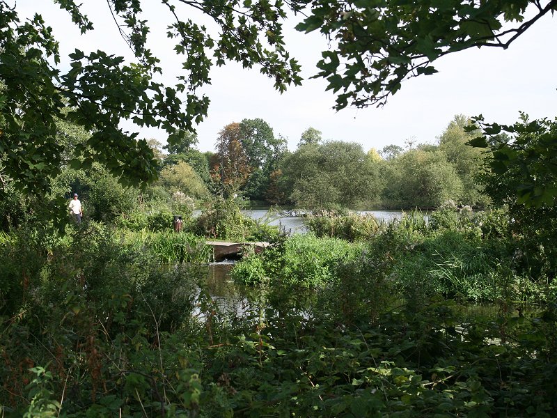
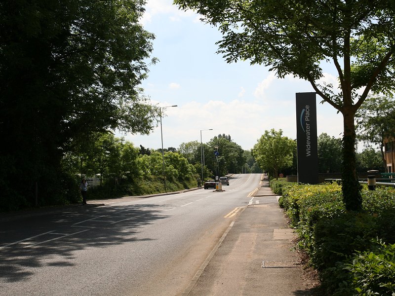
Across the southern end of these old sandpits a branch of the Grand Union was constructed to reach Slough, and it's along part of this branch that the LOOP now runs. Look out for the steel footbridge in the second image above; it's imadiately before the junction with the Slough branch and carries the footpath and the LOOP. We turn left across the briage and follow the footpath along the south side of the branch. We're now in the open country of the sandpits and the atmosphere is far quieter.
Across the southern end of these old sandpits a branch of the Grand Union was constructed to reach Slough, and it's along part of this branch that the LOOP now runs. Look out for the steel footbridge in the second image above; it's imadiately before the junction with the Slough branch and carries the footpath and the LOOP. We turn left across the briage and follow the footpath along the south side of the branch. We're now in the open country of the sandpits and the atmosphere is far quieter.


Grand Union Canal, Slough branch
We follow the Slough branch for not quite a mile. It's
dead straight. The vegetation on either side is dense and there's
little to see. The Canal crosses over the Frays river, a branch of the
Colne, and then approaches the Colne itself. Just before this point we
go to the right over a second steel footbridge to enter an extensive
area of woodland.
Huntsmoor Park


Following the Colne through Huntsmoor Park
After some 300 metres into the wood, although it seems
rather longer, the Colne comes alongside to the left. Although they are
not seen we're in the midst of a cluster of old gravel pits now known
as Little Britain Lakes.


The Colne, Huntsmoor Park
A short way ahead you come to a track to your right,
with one of the Little Britain Lakes ahead. Here you need to turn left
and cross the Colne by a footbridge, whereupon you come to another
road-end; turn right again and follow the path along the western bank
of the Colne. Having crossed the river you are now in Buckinghamshire;
the Colne marks the boundary.


The Colne, Huntsmoor Park
This stretch along the banks of the Colne lasts about a
mile and is very pleasant. The pastures of Huntsmoor Park lay to the
west. The line of trees on each side of the river is pretty dense but
there are occasional glimpses to the ribbon of pastures lining the far
bank, sandwiched between the river and the canal (roughly a quarter of
a mile away). Beyond te canal are the residential streets of Cowley, a
suburb of Uxbridge.


The Colne, Huntsmoor Park
Eventually you come out at a road, Iver Lane. Turn
right and cross the river, leaving Buckinghamshire and re-entering
London.


The LOOP approaching Iver Lane
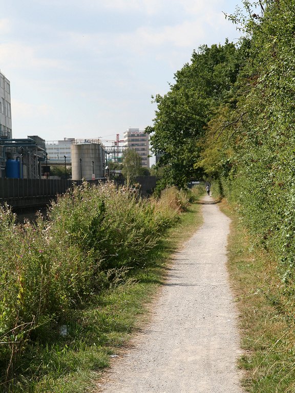
Uxbridge Moor

The LOOP just north of Iver Lane
The first thing that greets you on the London side of
the bridge is an industrial estate. We turn immediately left to follow
a path on the east side of the river, sandwiched between it and the
industrial estate. Again, this stretch runs for the best part of a mile
and there are charming scenes to your left, but the factories and
fences to the right rather detract from the air of rural tranquility
and the path itself is not all that great in places. A triple line of
pylons has also come in from the west to run alongside the Colne and
you cross beneath the cables at least three times.


The LOOP, Uxbridge Moor
Eventually the river takes a turn to the right (second
image above), at which point the path ends, and the LOOP follows a
track through the northern reaches of the industrial estate (third
image above) to emerge at a road. Cross and follow a minor road,
Culvert Lane (first image below) to reach the Grand Union Canal once
again. Turn left and follow the towpath. You're now in Uxbridge.


Culvert Lane and the Grand Union Canal
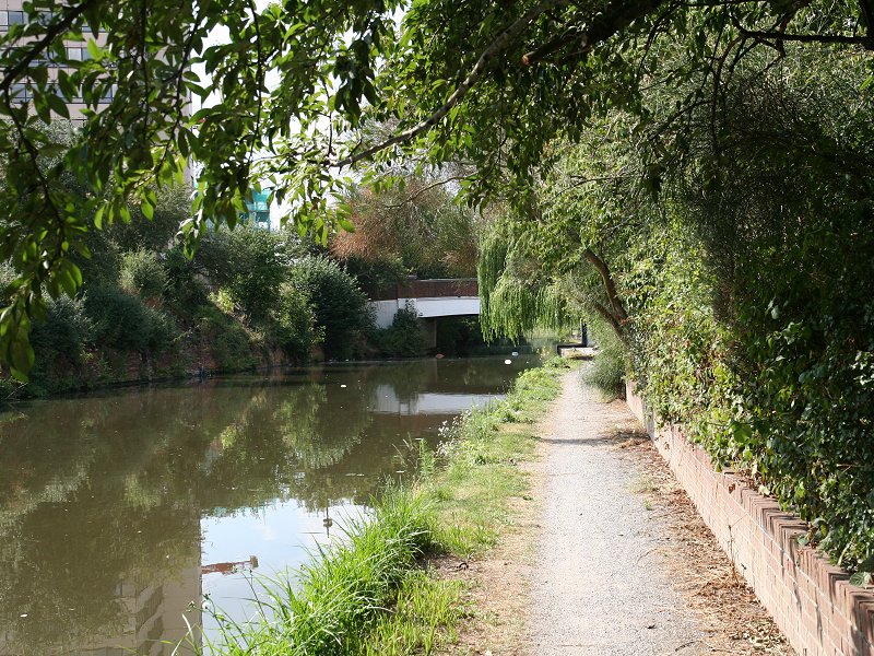
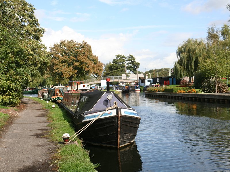
Uxbridge

The Grand Union Canal, Uxbridge
The canal bypasses Uxbridge town centre to the west. There is plenty of commercial and residential development to see; fortunately most of it is smart, a little unusual for the environs of a canal but very fortuitous for those walking the LOOP.


Uxbridge
The second road bridge over the canal, beside which is
the Swan & Bottle pub, is the closest approach to Uxbridge town
centre. Most walkers will be breaking the journey here. To reach the
town go under the bridge then go left into the pub car park, left again
to reach the road, and left again to cross the bridge. Thereafter it's
a matter of following your nose for five minutes until you come to the
town centre.


Uxbridge Lock
The LOOP continues to follow the towpath on the west
side of the canal beyond Uxbridge town centre until you reach a
footbridge about 300m to the north of the road bridge. Here you cross
to the east (right) bank. The Colne is some way to your left here,
while the smaller Fray's River is close at hand to the right. On the
left bank you will see King's Mill, the home of Kingsmill bread.


The Grand Union north of Uxbridge
The London / Buckinghamshire boundary plays a game of
hide-and seek in these parts. It's been following the Colne up until
now but just before the footbridge it switched over to the east to
follow a narrow channel known as Shire Ditch. After a further 500
metres it leaves the ditch to follow a wavering course between the
ditch and Hay's river, presumably having been aligned to the previous
course of one of these waterways. The canal and the LOOP, therefore,
are once again on the Buckinghamshire side of the boundary.
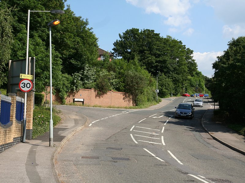
Eventually the canal comes back into open country and, not quite a mile from the Swan & Bottle, you pass underneath the A40 Uxbridge bypass.
Eventually the canal comes back into open country and, not quite a mile from the Swan & Bottle, you pass underneath the A40 Uxbridge bypass.
Denham

Approaching Denham lock
Beyond Uxbridge you reach the locality of Denham, which
proves to be a very pleasant stretch. 150 metres beyond the A40
overpass you need to cross back to the west side of the canal by
another footbridge, and shortly after this you pass back into London
once more, the boundary having followed a side stream that presumably
used to flow into the Colne, now very close by to the left. You're
approaching Denham lock, though shortly beforehand a path off to the
left (third image above) crosses the Colne by a smart new wooden bridge
to give access to Denham Country Park. The various paths through the
park eventually lead to Denham village and the railway station beyond,
should you want to break the walk here. There's a delightful little
lawn to the left, immediately beyond which is Uxbriddge Lock.

The Canal crossing the Hay's river
The lock keeper's cottage boasts that most rare and
most useful of LOOP facilities, a tea garden. Opening times seem to
vary but assuming that it's doing business at the time you pass, access
is through a gate immediately beyond the cottage. The tea garden runs
out onto a little spit of land sandwiched bewteen the Colne and the
Fray's River, which the canal crosses not many yards north of the lock.
The London / Buckinghamshire boundary is still up to its tricks; having
decided to join the Colne a couple of hundred yards back it then veers
right to cross this little spit of land to reach the Fray's River,
which of course it then follows straight back into the Colne again.
Here it gives up its adventures and settles down to follow the Colne
for several miles.


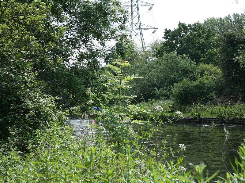
Fray's Valley Nature Reserve
The canal curves a little to the right as you leave the
environs of Denham Lock. There's a little bench seat within the curve
but unfortunately it's palced right beneath a high voltage electricity
line, which hops over the canal here, only to hop back again after the
next pylon. Just after you pass under the lines a second time a
high-arched white bridge carries a footpath over the canal; you
should cross over to the east bank yet again. Here you reach another
series of lakes of lakes formed from old gravel extractions pits. Turn
left to follow the towpath with the canal on your right and a lake to
your left. Rows of trees stand on both sides of the towpath and yet
another lake appears immediately beyond the far bank of the canal. This
is a lovely stretch.


The canal towpath north of the white bridge
This area is a popular fishing spot and the towpath is wide
enough for vehicles; consequently you will see, and be passed by, the
occasional car or van. This particular stretch of towpath runs as far
as a railway bridge (second image below), which carries the line from
Marylebone to High Wycombe.


The canal towpath between Denham Lock and Harefield
South Harefield


The lakes at South Harefield
Beyond the railway bridge the power lines cross to the east
side of the canal once more, and lakes now appear to either side of the
canal; the Colne itself, still marking the London - Buckinghamshire
boundary, lays well to the west at this point near Denham village.


Canal and woodland path, Harefield
Roughly 500 metres beyond the railway bridge and at the far
end of the lake to your right, the towpath ends on this side and you
have to turn right onto the track fringing the lake. At the northeast
corner of the lake is a path junction; turn left again onto a track.
This track takes you straight to the next objective, South Harefield,
but the LOOP's official route dodges to the left a short while after
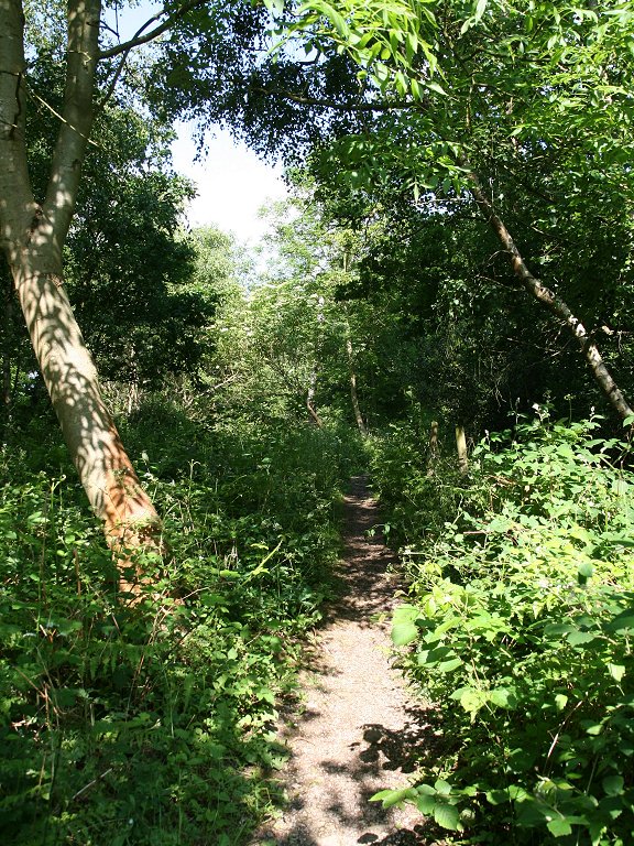
the path junction to run through a delightful area of open woodland
(second image above). The woodland path merges once again with the
track.


South Harefield
Some 500 metres north of the path junction our track come
out onto a motor road; we've come to the village of South Harefield.
Turn left to follow this road as far as the canal and cross the bridge
to the far bank. Rejoin the towpath here. Immediately north of the
bridge is Widewater Lock.

Widewater Lock
Harefield


The canal at South Harefield
The stretch of canal immediately north of South Harefield is
quite busy, with scattered canal-side housing and a good many boats
moored. Another huge lake lays over to te left. About a mile north of
Widewater Lock you reach the interestingly named Black Jack's lock,
where a side stream connects to the Colne. The river runs close by for
the next 250 metres, after which you reach the weir pictured below.
Here the London - Buckinghamshire boundary gets a little indecisive
once more, leaving the Colne here to follow the canal itself. Hence,
the left bank that we're following is in Buckinghamshire while the
right ban is in London.


The weir, Harefield


Harefield
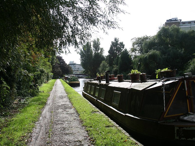
We're nearly at the end of the canal section of the LOOP.
The last few hundred metres is built-up as we come to the western
outskirts of Harefield itself. Housing lays to the right and there is
an industrial area on the left. We come, then to the road bridge at the
locality of Copper Mill. Leave the canal here, cross the bridge and
re-enter London yet again.

A brief view of Harefield
The first thing to greet you in Harefield is a narrow blind
bend, controlled by traffic lights. There is no footway here so watch
the traffic. If you want to break the walk here then just head on
uphill to the bus terminus, where you can get a bus to Uxbridge. To
continue the walk, however, take the first left, Summerhouse Lane
(second image above).


The Park Wood section north of Harefield
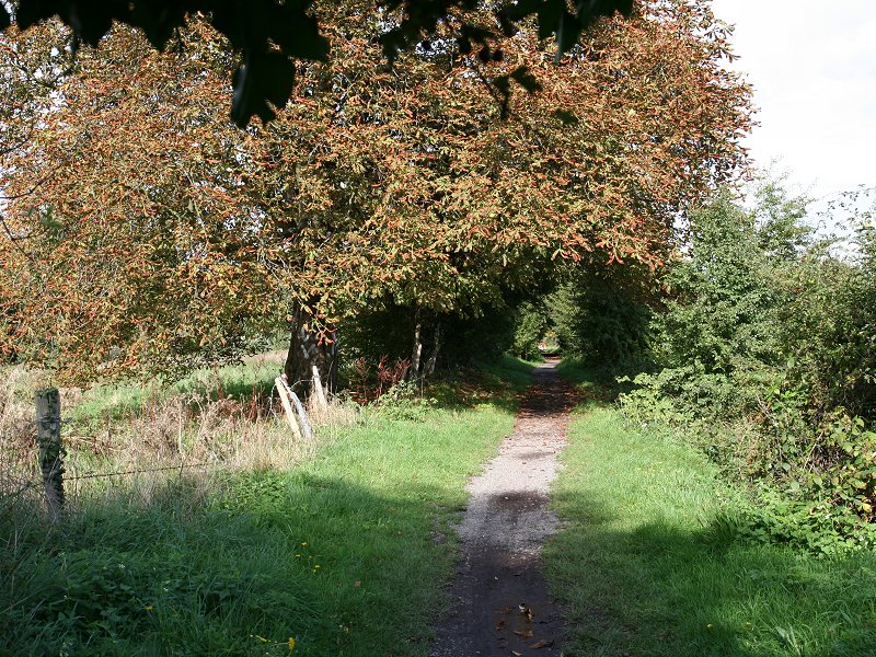
There's a big change in the nature of the LOOP from here on.
For ages now we've been following rivers and canals but ahead of us is
an extensive rural section of field paths, copses and woods. At the end
of Summerhouse Lane turn right onto a path marked, "Hillingdon Trail".
This path heads uphill quite quickly to enter Park Wood, seen above. At
the far end of the wood is a tranquil scene of fields and trees. You
come to a road at Hill End; were you to follow this road downhill to
the right you would reach Harefield again. For the LOOP, however, turn
left and follow the road for about 100 metres, after which you turn
right onto a second footpath, heading north-northeast.


The rural stretch of the LOOP beyond Harefield
This stretch of footpath runs for a good mile and is a
fascinating mix of fieldside paths, copses and meadows, interrupted
here and there by stiles and footbridges. There's a dip about half a
mile along, after which you head uphill again with Fieldways Farm to
your left. This dip carries a little stream that marks the boundary
between London (Hillingdon) and Hertfordshire; for the next two or
three miles we're outside the capital. Much of the next fifteen miles
or so of our route keeps to the Hertfordshire side of the county
boundary.


The route ultimately adopts the driveway to Fieldways Farm
(first image below) to come out onto another road (middle image). Turn
right and follow this road uphill for about 300 metres.


Reaching the road beyond Fieldways Farm
Bishops Park

Woodcock Hill
At the Rose & Crown pub turn left onto yet another
footpath. This soon comes out onto an open section, and here you stride
out across the pasture as you descend the slopes of Woodcock Hill. Aim
towards the far end of a small wood, as seen above. Once you reach the
edge of the wood walk alongside it. Now, beware. The LOOP's guidebook
would have you heading for the far end of the wood, diverging from the
obvious footpath to your right to stay with the edge of the trees,
eventually turning right into the wood just before it ends. If only
this path actually existed! If you examine the map closely you'll find
a track entering the wood about 250 metres further back, just to the
east of a gap in the trees; even this isn't as easy to find as one
would like but it's the best route on the ground. Assuming that you've
found the entrance to the wood turn right and head through it. The
track twists and turns somewhat but heads generally south-southeast.
You're walking through Park Wood, itself part of the larger Bishops
Wood Country Park.


Park Wood and Lockwell Wood
This walk through Park Wood is pleasant, though not
particularly special. When you reach a dip with a stream go slightly
left, first following the strea, and then crossing it, fairly close to
the edge of the wood over to your left. This path heads well round to
the left to head generally east; you're now in Lockwell Wood. The route
is generally obvious from here though it does involve a left turn, then
a right turn at a subsequent junction. The track (which the map depicts
as petering out) continues for another 50o meters until it comes out
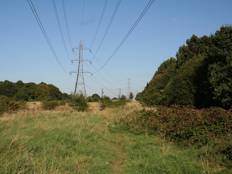
into a rough clearing, occupied by an electricity pylon. This is the
locality of White Hill.

The pylon at White Hill
Northwood

Batchworth Heath
This is another confusing section, mainly because the path
here is not well maintained and can get very overgrown. You're supposed
to turn left and follow the rough rtide to a second pylon, thereafter
coming out onto an adjacent road. In practise you're advised to find
the road as soon as you can, for it will be much easier than the tangle
of vegetation that the route is supposed to follow. Follow the power
line initially, therefore, and head to the right as soon as is
practicable to get out onto the road. The road, once you fond it, leads
to the pretty little community of Batchworth Heath. There's a big open
grass area here, complete with pond.


The LOOP following the Hillingdon -
Hertfordshire boundary at Northwood
Batchworth Heath looks very rural but the continuous
built-up area of London butts up right against it. Turn right onto the
A404 and follow it round a further right-hand bend; you're very briefly
heading south before you tuen left onto a paved footpath. This footpath
is a curiosity; it's a boundary path, originally marking the boundary
between Middlesex and Hertfordshire, nowadays of course the boundary
between Hertfordshire and Greater London. Moor Park lays to your left,
Northwood to your right. The path runs alongside and between various
hedges, fences and walls, sometimes paved, sometimes not. All at once
it pops out into a residential road (third and fourth images above).
Here you turn left, leaving London behind once again and moving into
Hertfordshire. There's really nothing to differentiate Northwood and
Moor Park from each other. Cross Batchworth Lane and continue straight
on.
Moor Park


The LOOP in Moor Park
Our introcuction to Moor Park is a pleasant and leafy
residential road. After about 200 metres you come to a set of power
lines; you'll not be surprised to learn that it's the same set of lines
you met before Batchworth Heath (and before that at the railway bridge
over the Grand Union canal). You'll soon see the last of them but not
quite yet. Just after you pass beneath the lines the road bends
slightly to the left; at this point you need to turn right onto a
suburban footpath that runs between two back gardens. At the next road
dogleg across to find the continuation of the footpath. It continues
across a further road, briefly becoming a narrow alley that dives under
a railway line. This line is London Underground's Metropolitan line and
Moor Park station lays about 500 metres to your left, an excellent
opportunity to break the journey.

The Metropolitan Line and the open heath beyond
Beyond the railway bridge you turn right onto a footpath,
and find yourself at the corner of a strtch of open heathland, most of
which is occupied by Sandy Lodge golf course. The route runs more or
less diagonally across the heath. Turn left, and stay close to the
power lines at first, but at a small pond veer to the left to follow a
little stream (first image below). You're now crossing the golf course.
The route is pretty easy to follow on the ground here as there are
occasional footpath markers.


Sandy Lodge golf course
The path veers a bit forther to te left at an obvious point
and continues in this direction, crossing a road. Beyond the road (seen
above) the path continues in the same direction with the Merchant
Taylor's School a little way over to the left. After crossing under
those power lines for one last time you turn half right to come out
onto a main road; the A4125 Hampermill Lane. Hampermill Lake is a
littlle way to your left. Turn right and walk down the road to the
south until you reach the junction withthe golf course drive that you
crossed a few minutes back.
Back to Borough of Hillingdon index page