The south bank of the Thames at Woolwich
The Capital Ring begins in the borough of Greenwich, at the southern terminus of the Woolwich Ferry. In its journey through Greenwich it adopts the route of two existing pedestrian routes - the Thames Path as far as the Thames Flood Barrier just west of Charlton, and then the Green Chain Walk (a route encompassing many parks, sports grounds and other green spaces). The Green Chain Walk is followed in its entirety, as far as Crystal Palace Park in Bromley.
Click on any thumbnail image in this gallery to display the corresponding full size image. The images are access protected through a cgi script to prevent hotlinking. If you encounter problems while trying to view the full size images, please read the access advice page.
The south bank of the Thames at Woolwich
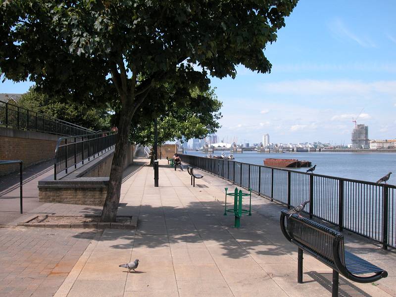
The Capital Ring begins at the southern landing point of the Woolwich Ferry and, for the first mile, follows the Thames Path westwards along the river's south bank to Charlton. At the time of writing the Thames path is incomplete due to industrial developments along the water's edge, and diversions "inland" are necessary. The first of these follows a temporary path through a vacant lot after which the path follows a smart rivereside promenade.
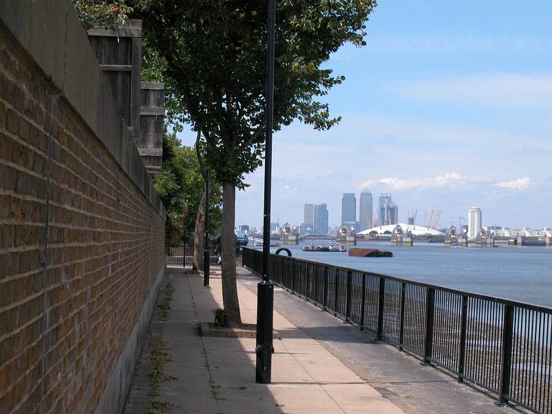
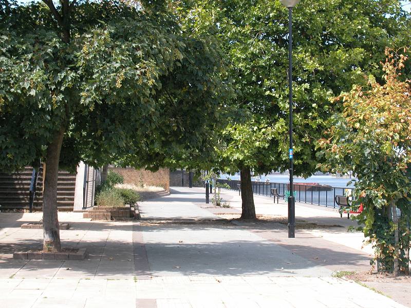
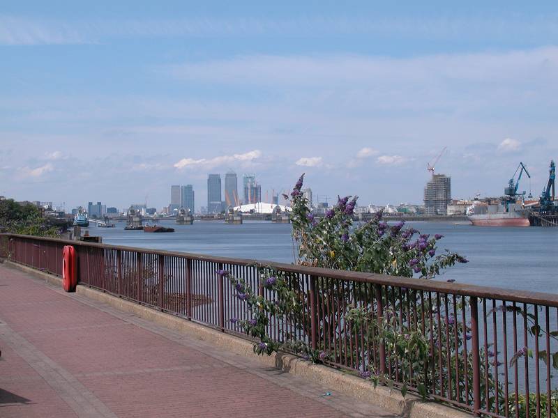
Thames Path, Woolwich
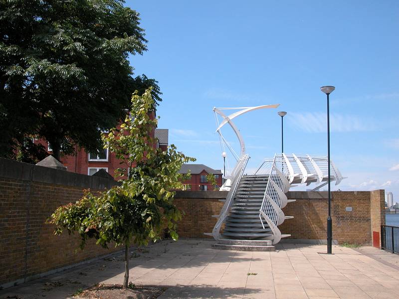
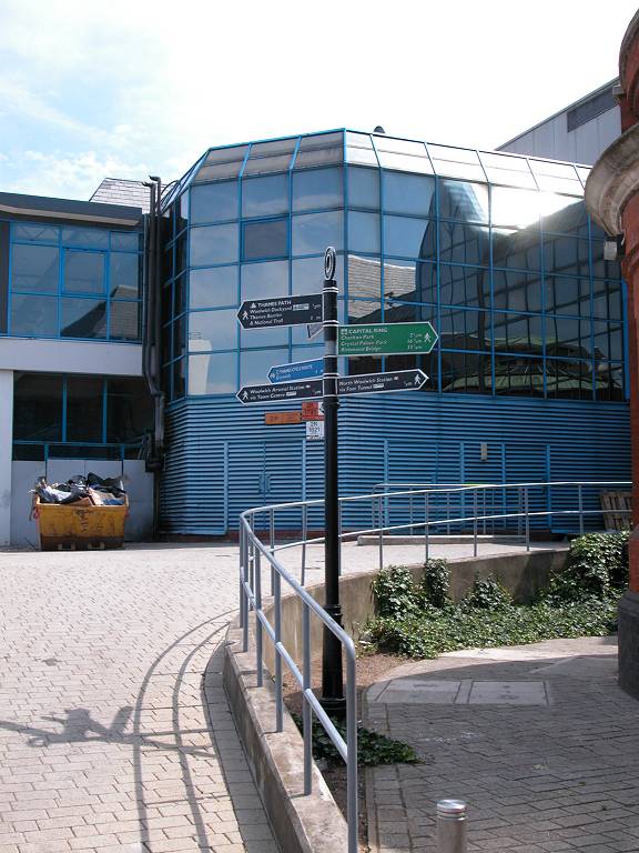
Henry's Wharf and the Linkbridge
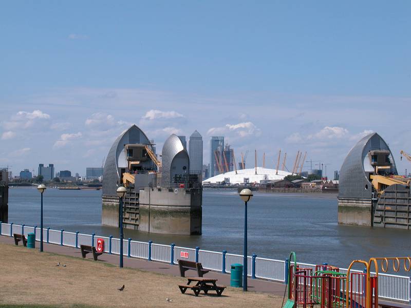
This part of the riverside is known as Henry's Wharf, named after King Henry VIII who established a naval dockyard here. The path crosses a wall by means of a furturistic flight of steps known as the Linkbridge, from which there is an excellent view of the Thames Flood Barrier, the Millennium Dome and Canary Wharf.

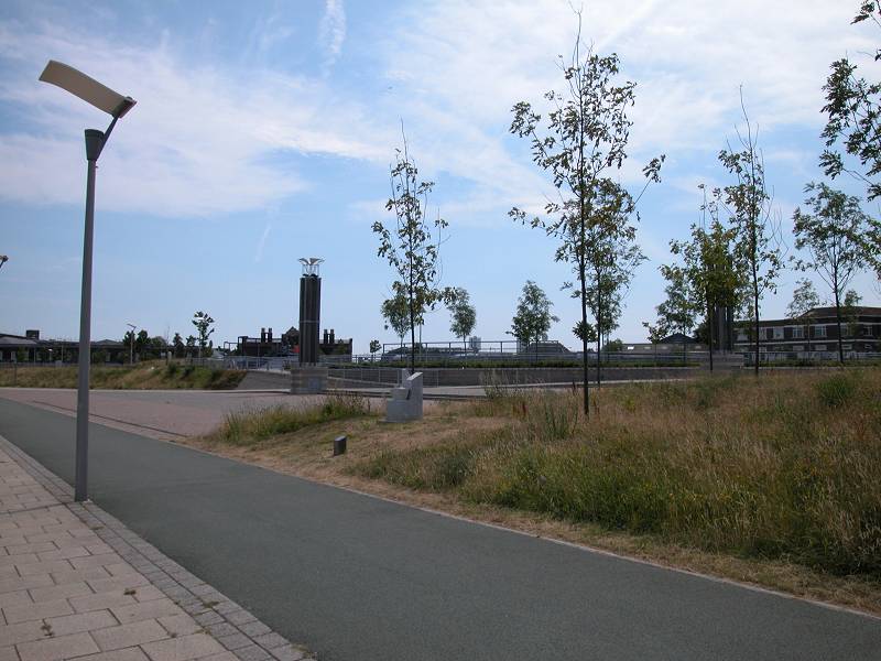
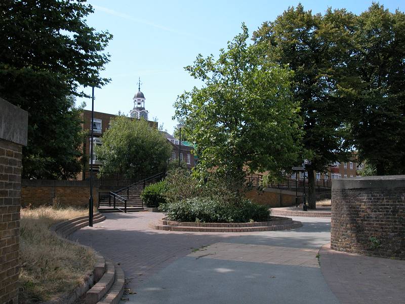
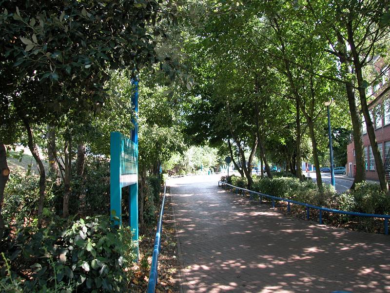
Resolution Walk
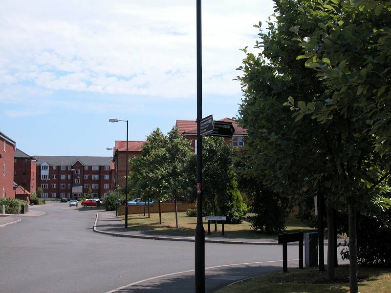
Henry's Wharf estate
The path from here on is known as Resolution Walk. The walkway contnues for some 400m towards Greenwich, then comes to an end. It's necessary to dogleg through the Henry's Wharf estate, and it's a fairly serious diversion involving a backtrack of some 250m. You eventually come out onto the main A206 road. Kepp on this road as far as the Greenwich Community College in Charlton, some 400m ahead.
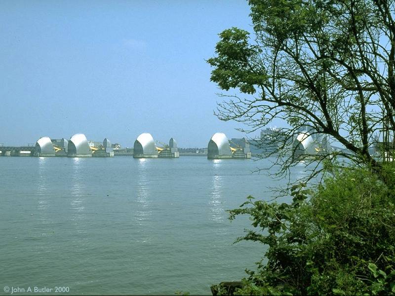
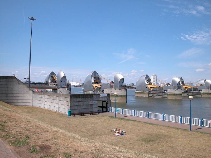
The Thames Flood Barrier from the Greenwich side
For centuries the Thames has been a vital transport artery to London, yet it has also posed one of the greatest threats to the city. Much of Central London is very low-lying and the Thames, which is tidal up as far as Teddington in the borough of Richmond, represents a major flood risk. Three hundred people lost their lives in a major flood in 1953. In these more modern times such a death toll would be unthinkable, but the prospect of a flood represents a major civil calamity - lives and livelihoods ruined; transport and communications links disrupted, business, cultural and administrative archives destroyed as water flooded tunnels, basements and streets. A flood could be foreseen and prepared for, but how much better for all if one could be prevented...
There is a history of proposals for a barrage across the Thames that is nearly as long and complex as that of the Channel Tunnel, but it seems that the 1953 floods prompted official Government action in the form of an invitation to submit proposals for a practical flood defence.
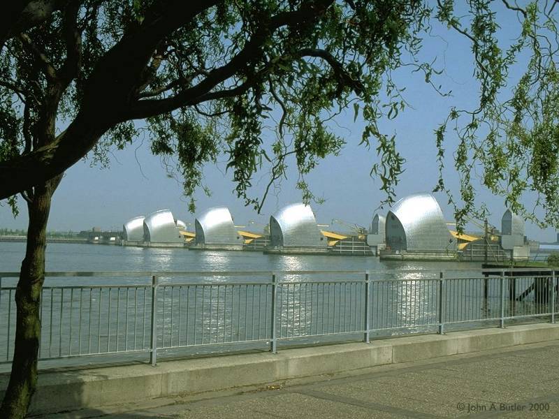
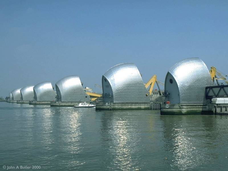
The winning scheme, accepted in 1965, is the world's largest movable flood barrier. The futuristic structures seen in the images above house hydraulic machinery that rotate a series of steel plates from their parked positions on the riverbed to the vertical, in which position they block the progress of surge tides coming in from the sea. The flood barrier took 8 years to build, was completed in 1984 and has been brought into operation some 25 times to save the capital from possible inundation.
The flood barrier stretches for 520 meters from the Greenwich to the Newham bank, but the best views are from here on the Greenwich side.
Thames Flood Barrier
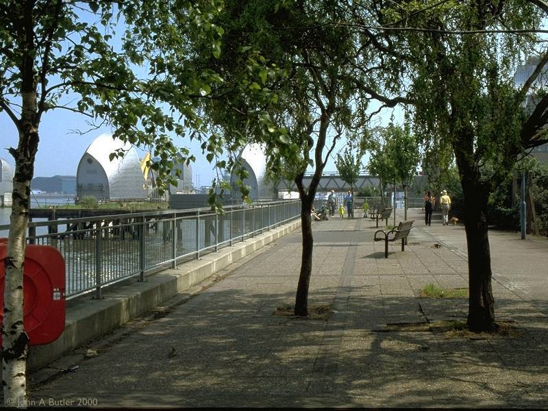
Having seen as much as you wish of the flood barrier, walk back along the access path to the Greenwich Community College and cross the road into Maryon Park. You're now following the Green Chain Walk.
Flood barrier access path
Charlton
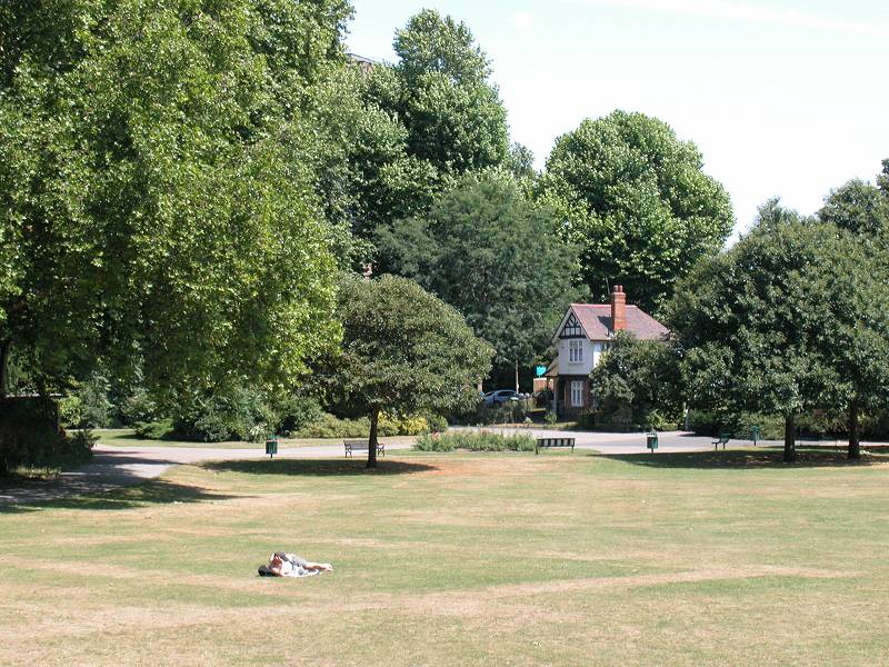
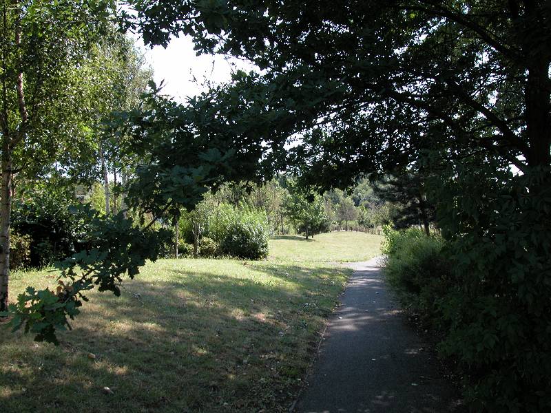
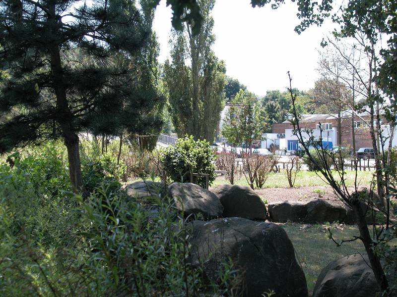
Maryon Park
According to the Capital Ring guidebook Maryon Park is named for the Maryon Wilson family of Charlton House. Originally Hanging Wood, and then a sand quarry, the land was donated to the London Count Council in 1891 and subsequently landscaped. Walk initially to the left along the boundary then to the right, through the park itself. At the far end you reach a flight of steps that leads up to Thornton Road. Cross into the neighbouring Maryon Wilson Park.
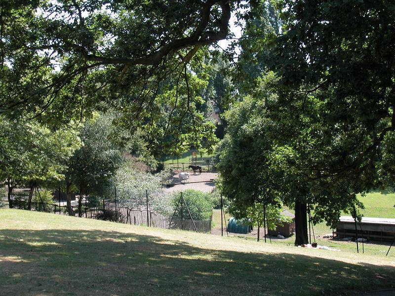
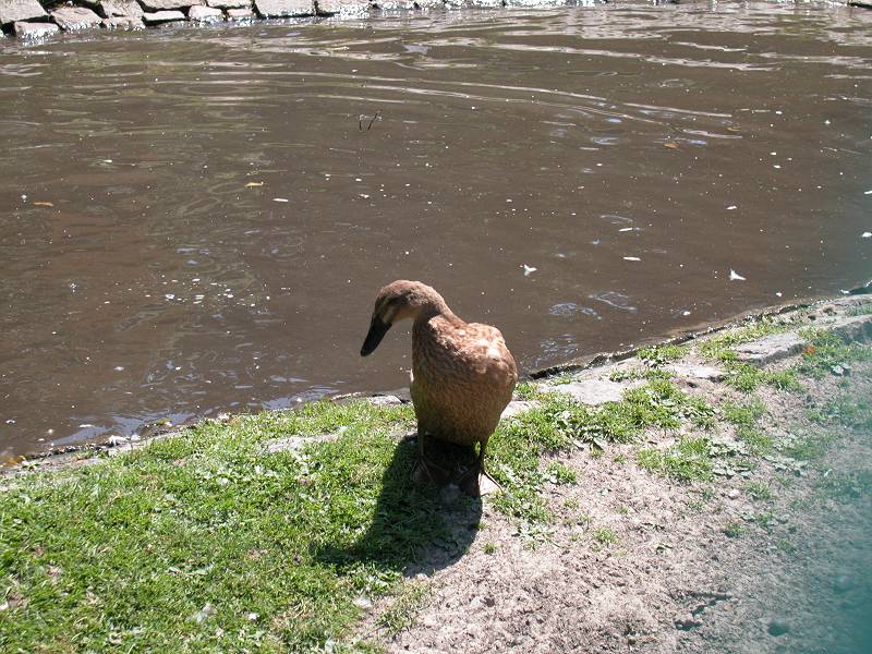
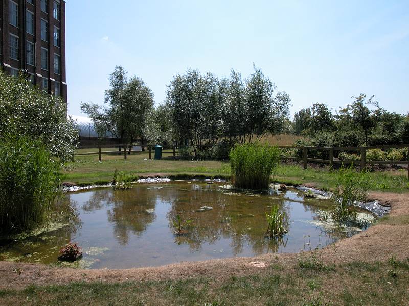
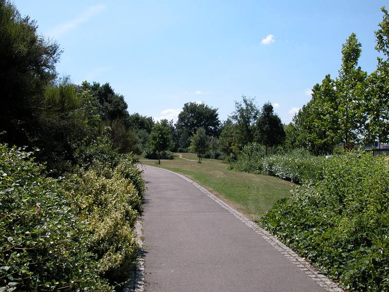
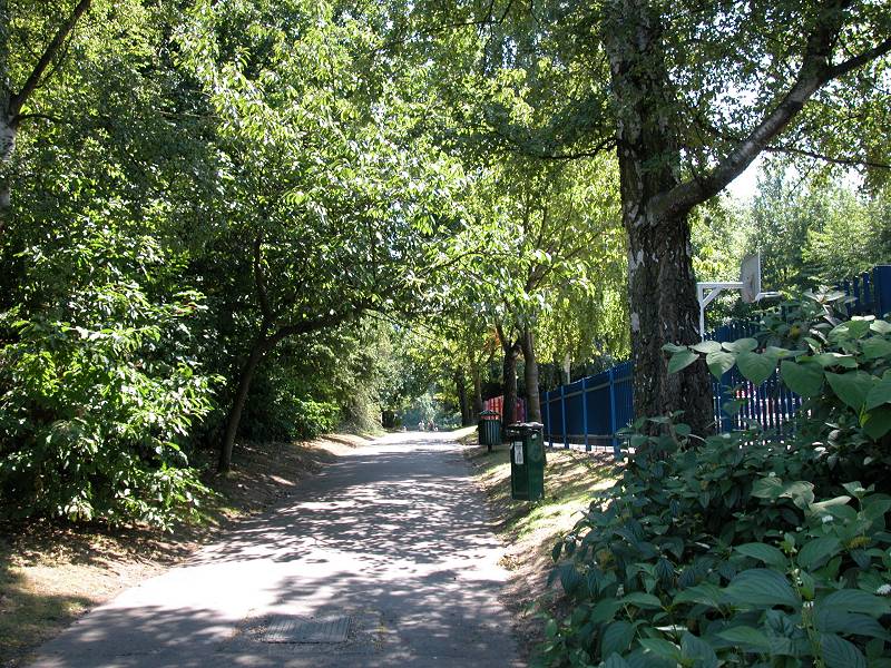
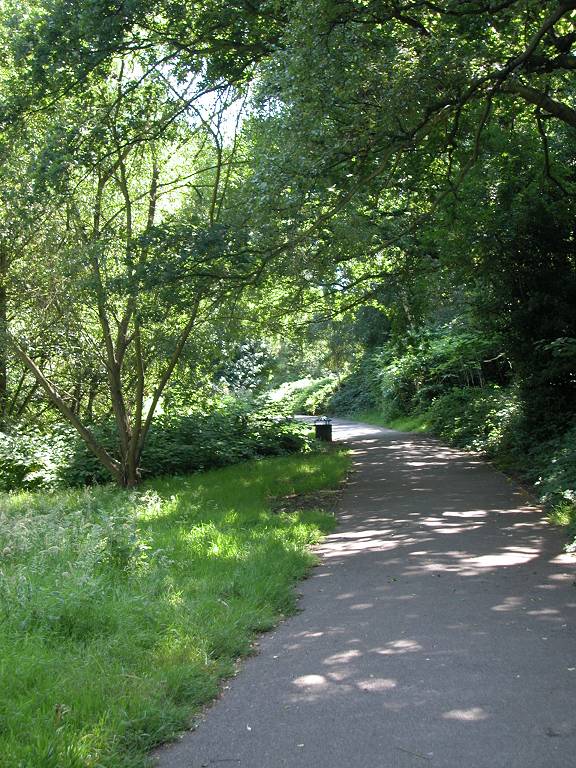
Maryon Wilson park
Maryon Wilson Park is more extensive than its neighbour and includes a pond and a small city farm where you can see horses, pigs and waterfowl amongst others. The park narrows to a green ribbon running southwards beside a stream. Follow this out to Charlton Park Road.
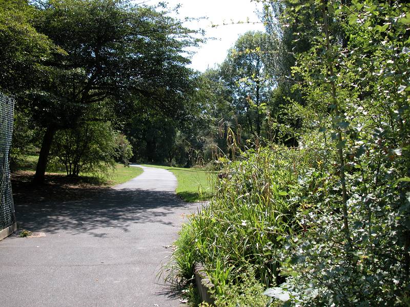
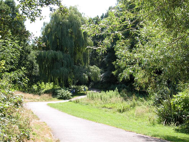
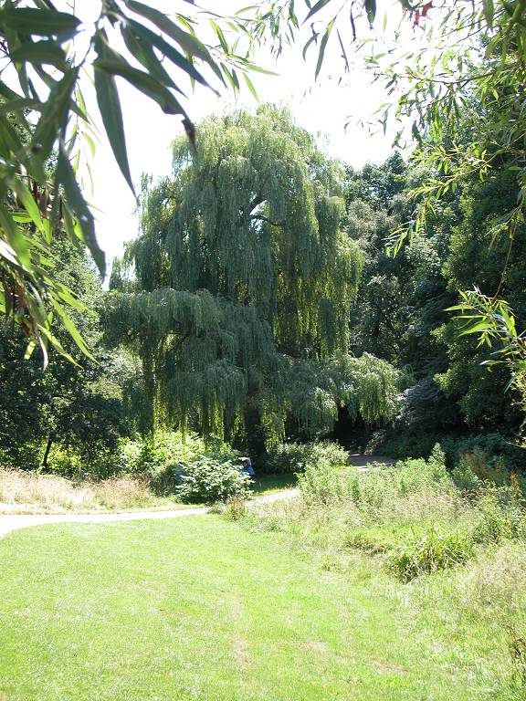
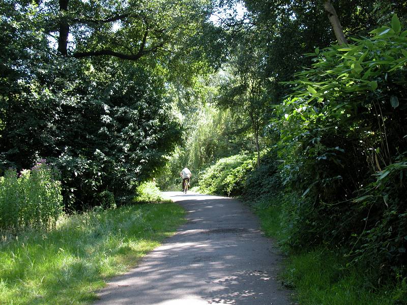
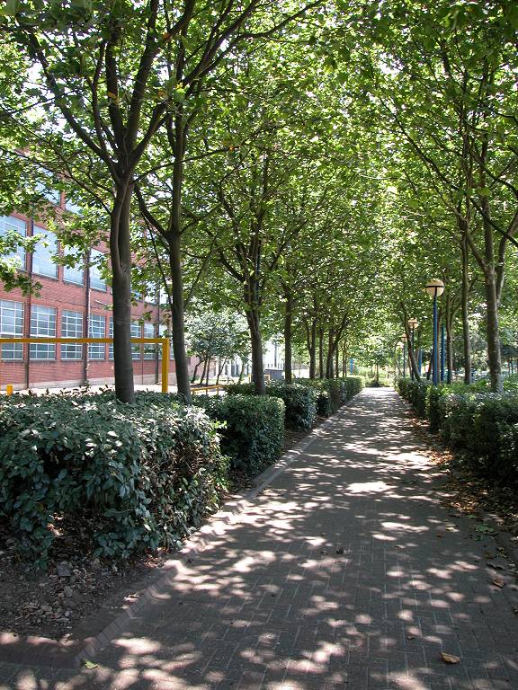
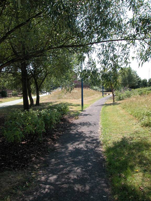
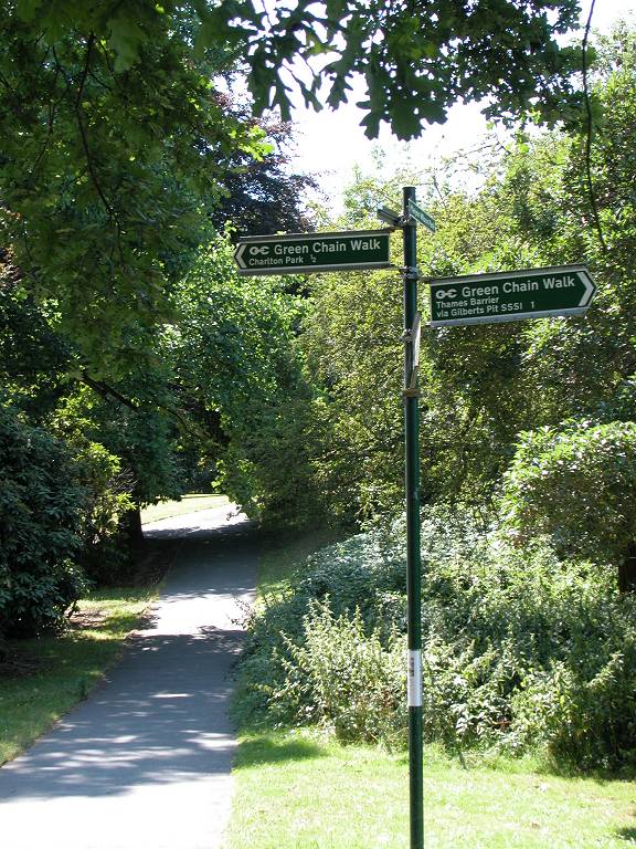
The Green Chain Walk, Maryon Wilson park
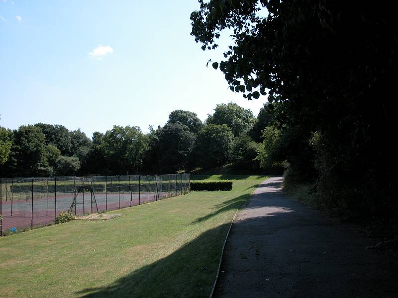
Go along the road a hundred metres or so to the right, then turn left into Charlton park itself. The park is laid out as a sportsground though with an avenue of trees around its perimeter. Head southwestwards across the park to the gate on Charlton park Lane on the south side. Charlton House itself is over to your right on the far side of the park and is now a library and communuty centre.
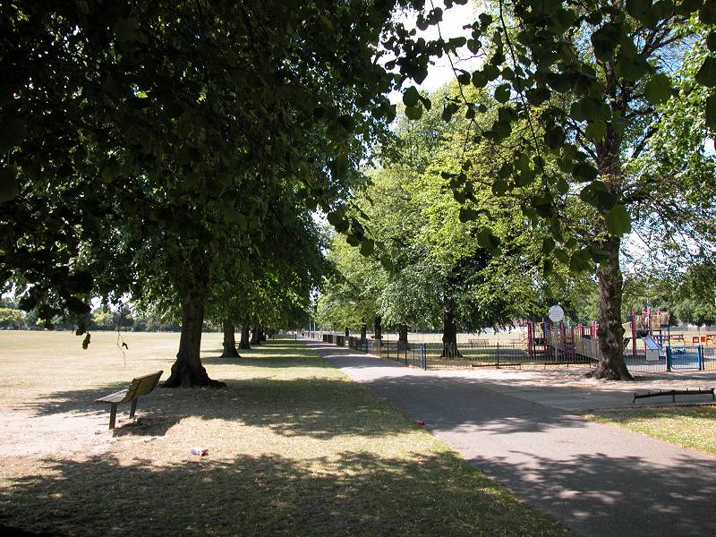
Charlton Park
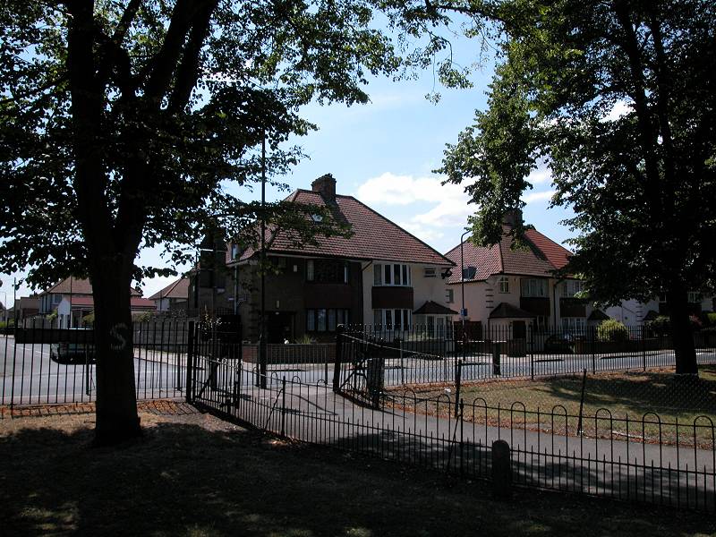
Once you emerge onto the road walk along it to the left (east) as far as the junction with Canberra Road. Turn right onto this road and immediately left into Prince Henry Road, at the far end of which you will see a short drive giving access to a sports ground otherwise known as Hornfair Park.
Charlton Park Lane; Prince Henry Road; Hornfair Park
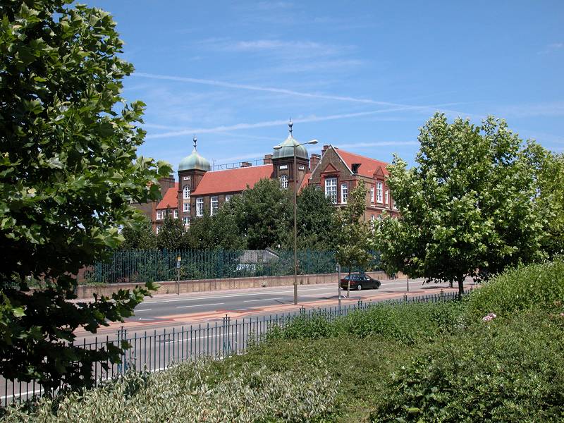
Hornfair Park, apart from being a patch of greenery, isn't really much to look at. Head across to the southeast corner to reach Baker Road just by a housing estate. Turn left onto this road and pass the Queen Elizabeth Hospital.
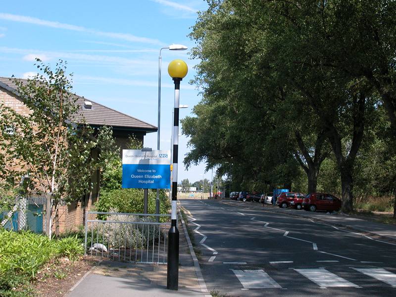
Hornfair Park; Queen Elizabeth Hospital
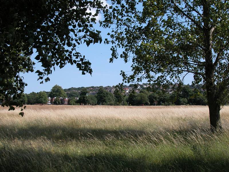

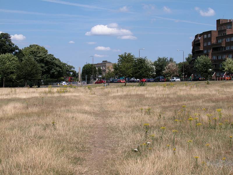
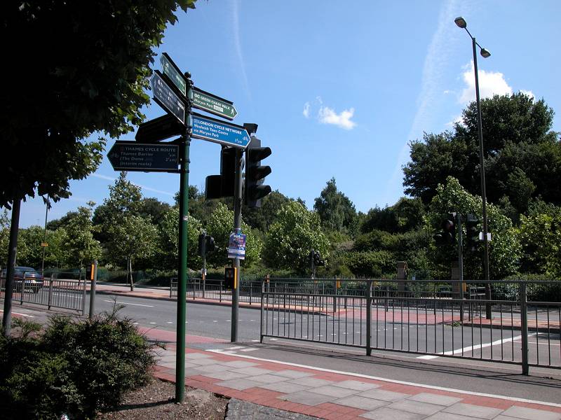
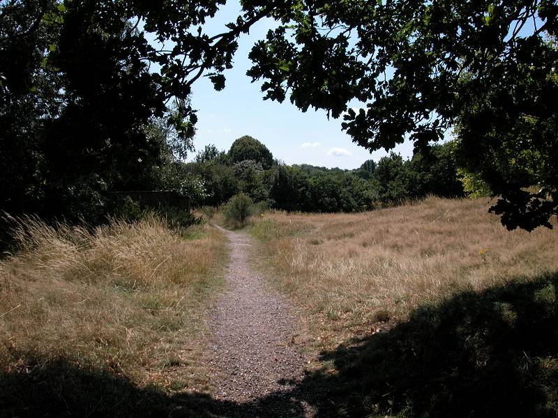
Woolwich Common
Once past the hospital you're on the edge of the large swathe of rough grassland that is Woolwich Common. The common is a remnant of Woolwich Arsenal Barracks. Go half right to follow a path alongside the grounds of a sports stadium to your left, then head as best you can for the south east corner of the common about 500m awaym where you will see a monument and a busy crossroads. The former Woolwich Barracks buildiing appears across the road over to your right. Once you reach the crossroads make your way to the opposite corner and then go left along Ha Ha Road.
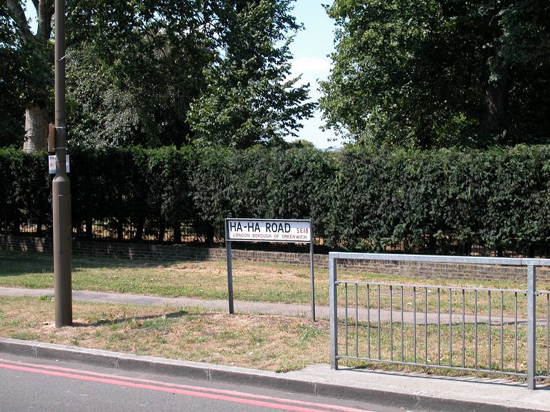
Ha Ha Road
(to be continued)
Back to Borough of Greenwich index page
![]()