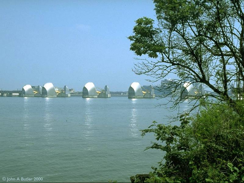
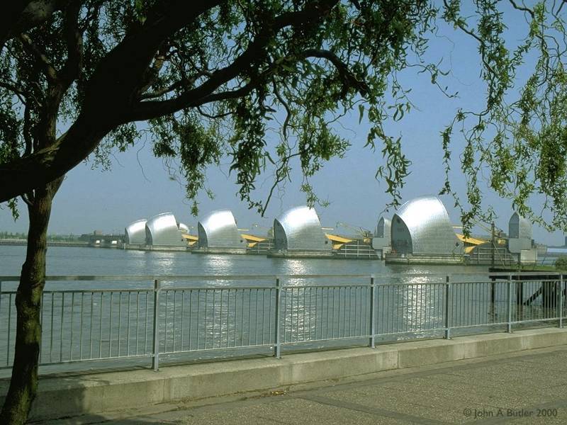
The Thames Flood Barrier from the Greenwich side
The Thames Flood Barrier from the Greenwich side
For centuries the Thames has been a vital transport artery to London, yet it has also posed one of the greatest threats to the city. Much of Central London is very low-lying and the Thames, which is tidal up as far as Teddington in the borough of Richmond, represents a major flood risk. Three hundred people lost their lives in a major flood in 1953. In these more modern times such a death toll would be unthinkable, but the prospect of a flood represents a major civil calamity - lives and livelihoods ruined; transport and communications links disrupted, business, cultural and administrative archives destroyed as water flooded tunnels, basements and streets. A flood could be foreseen and prepared for, but how much better for all if one could be prevented...
There is a history of proposals for a barrage across the Thames that is nearly as long and complex as that of the Channel Tunnel, but it seems that the 1953 floods prompted official Government action in the form of an invitation to submit proposals for a practical flood defence.
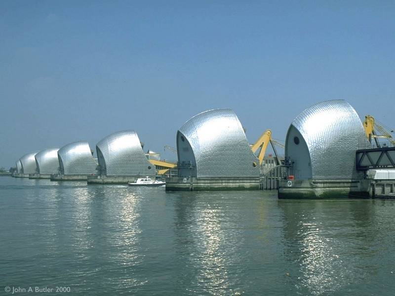
The winning scheme, accepted in 1965, is the world's largest movable flood barrier. The futuristic structures seen in the images above house hydraulic machinery that rotate a series of steel plates from their parked positions on the riverbed to the vertical, in which position they block the progress of surge tides coming in from the sea. The flood barrier took 8 years to build, was completed in 1984 and has been brought into operation some 25 times to save the capital from possible inundation.
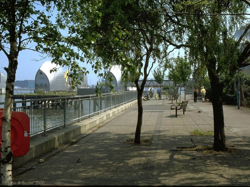
The flood barrier stretches for 520 meters from the Greenwich to the Newham bank, but the best views are from the Greenwich side. There is also a visitor centre, shop and cafeteria here. Two significant walking trails start from the Greenwich side of the barrier; the Thames Path, which follows the course of the river right to its source in Cricklade, Gloucestershire; and the Green Chain Walk, which links together a series of parks, stretches and other green spaces within south east London and terminates in Crystal Palace Park in Bromley.
Back to Borough of Greenwich index page
This page last updated 26th October 2002
![]()