 |
From Keswick I took a bus to Penrith and then another to
Glenridding,
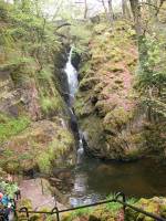
hopping off at park Brow Foot. A path into the woods leads to Aira
Force,
arguably Lakeland's most famous waterfall. |

|
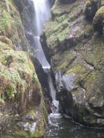
Two shots, showing the upper... |
|
...and lower portions of the waterfall. |
|
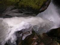
From the bridge over the top of the falls there is a dramatic
view
of the vertical drop from above. |

|
Another view of Aira Force from above. |
|
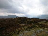
A path leads east from Aira Force around the southern aspect
of Gowbarrow
Fell. I climbed the largely pathless southern slopes to the minor top
of
Green Fell then wandered across the sombre moorland to the main summit. |

|
The summit of Gowbarrow Fell, 1579ft. I'd seen nobody on the
slopes
of the fell, but encountered thirteen other people at the summit - four
of them very young children, three of whom were exercising their lungs
to their fullest possible extent. I got off that summit pretty damn
quick.
It's that sort of racket I come out to places like this to get away
from. |
|
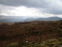
Somewhere down there is Glenridding and the head of Ullswater. |

|
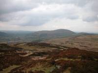
Looking northeast, the lower limb of Ullswater is just
visible. |
|
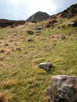
The view northwest to Little Mell Fell, my next objective. |
|
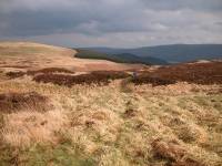
Looking back at the summit from the site of the former
"shooting box",
where I had my lunch. |
|
The "family from hell" were still in earshot and, rather than
have
them accompany me along the rest of the path, I chose to strike off
across
Gowbarrow's outlier of Great Meldrum. |

|
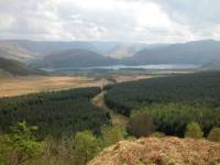
Down at the col I had a good view of Great Mell Fell. |
|
I had to climb over a forestry fence and find my way down the
slopes
of Great Meldrum very carefully. |

|
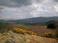
The proper path is just down there by the drystone wall. The
weather
is showing signs of brightening up. |
|
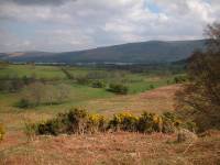
Down off Great Meldrum to the path. |
|
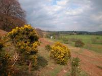
The path leads around the slopes of Little Meldrum... |
|
...towards an unclassified road. |

|
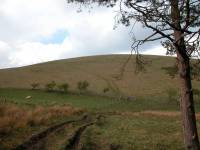
I followed this path (uphill most of the way) to the col
between Little
Meldrum and Little Mell Fell, known as The Hause. |
|
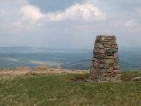
From The Hause there is a permissive path straight up the
flank of
Little Mell Fell. |
|
Twenty minutes later I reached the top of Little Mell Fell, a
grassy
dome reaching 1657 ft above sea level. |

|
The view from the top is really rather good. Here we're
looking southwest
into the Grizedale Tarn gap between the Fairfield group (left) and the
Helvellyn group (right). |
|
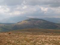
Helvellyn and its outliers seen from the top of Little Mell
Fell |
|
Great Mell Fell, my next and final objective. Blencathra lies
behind. |

|
The Dodds and Clough Head to the west. |
|
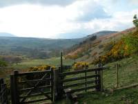
The western half of Little Mell Fell is enclosed, so it was
back down
to The Hause by the same path. A footpath now led away to the west
around
the flank of the fell. |
|
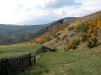
The weather was rapidly improving now and the scenery
steadily improved.
Plenty of gorse in flower on the south slopes of Little Mell Fell. |
|
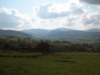
The Dodds seen across Matterdale |

|
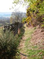
The path continued to wind around... |

|
...the southern slopes of Little Mell Fell... |
|
...during which time the clouds rolled back and the sun shone
fully. |

|
The path approaches the valley. |

|
The tiny hamlet of Lowthwaite. |

|
Here I turned right onto the road. |
|
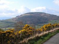
Great Mell Fell seen just across the valley. |
|
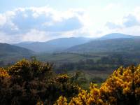
The Dodds again, looking beautiful in the afternoon sun. |

|
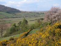
To get to Great Mell Fell I have to take a small network of
footpaths
across the pastures in the valley. |

|
Rights of way can be difficult to find in grazing
country. |
|
I lost my way several times... |

|
...but eventually hailed a farm hand driving an all-terrain
vehicle
to point me in the right direction. |

|
He pointed out the way across the beck.. |

|
...and through the succeeding pastures... |

|
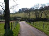
...to come out onto the road... |
|
...beside Great Mell Fell. |

|
In Wainwright's day Great Mell Fell was an Army firing range
and access
was difficult. Nowadays it's owned by the National Trust and there are
no restrictions, but the fell is still pathless. The fell's flanks are
steep and the least difficult way is up the eastern side, through the
open
tree cover. |

|
I found myself labouring badly near the top. |

|
Free of the trees, and a view opens up across the Eden valley
to the
northeast |
|
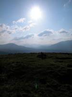
The summit, contre-jour. |
|
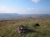
The summit of Great Mell Fell, elevation 1760ft - quite a
respectable
height. Looking northwards to the eastern outliers of Blencathra. |
|
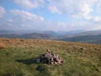
That's Gowbarrow to the south, with the hills clustering
around the
head of Ullswater beyond. |
|
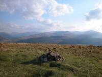
Helvellyn and the Dodds seen from the top of Great Mell Fell. |

|
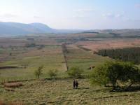
The way out to the A66 where I'm aiming to catch the bus back
to Keswick.
I've got 45 minutes to do it. |
|
Straight down the side of the fell, a steep slope of spongy
grasses
and mosses and very easy on the feet. |

|
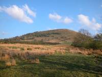
Down the fell in twenty minutes. Not bad. |
|
A retrospective view of Great Mell Fell from near the A66. I
missed
the bus by sixty seconds and there wasn't another for two hours -
instead
I caught one the other way into Penrith for an evening meal and then
back
to Keswick from there. A fine first day. |
![]()