 |
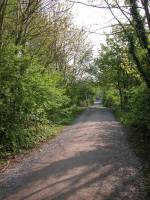
My route out of Keswick was along the old railway track in
the direction
of Penrith. |
|
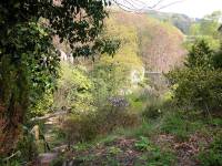
After about half a mile I left the disused railway track for
a riverside
path alongside the Greta. |
|
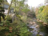
The path reached the old mill near the locality of Brigham. |

|
The Greta at Brigham. |
|
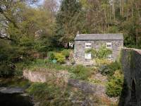
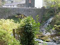
The environs of the old mill, a picturesque bridge and a
cluster of
stone cottages. |

|
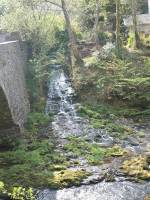
The Greta from the bridge. |
|
A waterslide adjacent to the old mill. |

|
The old mill bridge at Brigham. |
|
Another view of the bridge. |
|
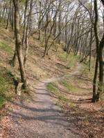
Beyond Brigham the riverside path enters Brundholme Wood. |

|
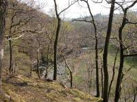
The path winds high above the river. |
|
The river meanders away to the south. |

|
Another view of the Greta from Brundholme wood. |
|
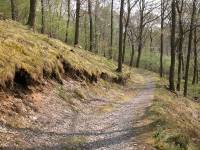
Brundholme Wood |

|
Proof that sheep are actually woodland creatures. |
|
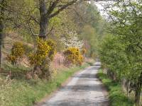
The path reaches a vehicle track at the far edge of
Brundholme Wood. |
|
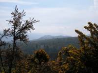
At the far end of the wood the track reaches the road. Across
the road
a short driveway reaches a stile, which gives access to the east ridge
of Latrigg. This is the Helvellyn ridge seen from the lower end of the
ridge. |
|
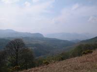
Looking over to the southwest, there's Walla Crag to the left
and the
Catbells ridge on the other side of Derwentwater to the right. |

|
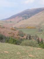
Climbing Latrigg's east ridge. |
|
The hidden valley of Lonscale. |

|
A forest platnation on Latrigg's north slope. |

|
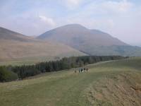
Looking across to Skiddaw. |
|
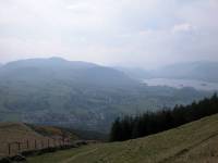
The view northeastwards towards Blencathra. |
|
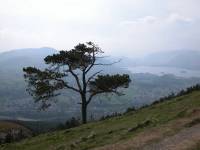
Nearing the summit, and looking down at Derwentwater. |
|
Keswick from the summit ridge of Latrigg. |
|
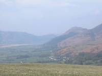
The valley of Underskiddaw, with Bassenthwaite Lake and the
summit
of Dodd beyond. |
|
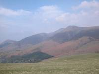
Skiddaw from Latrigg. |

|
Blencathra from Latrigg. |

|
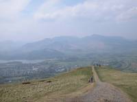
Latrigg lacks a summit cairn, a trig point, or any summit
marker at
all. In fact the path runs straight across the highest point. |
|
From the summit, the path runs down to the principal
viewpoint. |
|
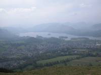
From the principal viewpoint at the end of the ridge we're
looking
down on Keswick and Derwentwater. |

|
Underskiddaw, seen from the descent. |

|
A path drops from the ridge to this track rising from Spooney
Green
Lane in Keswick, which is the main path to Skiddaw. |
|
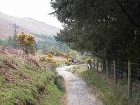
Returning along the path to Skiddaw and lunch. |
![]()