|
I arrived at Caldbeck just after 10am. The weather was still
bright, with a very watery sun visible at times. I set off for High
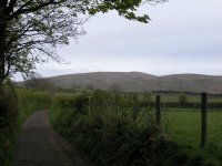
Pike, three miles away, initially by a back road to Nether Row. This is
High Pike seen from the road.
|
|
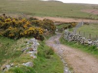
From Nether Row an old mine road runs part way up the fell.
|
|
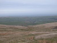
The old mine road peters out at about 1550 ft, at an old
shaft a little
way above Potts Gill mine. The terrain was a bit on the drab side,
consisting of open fellside cloaked in rough grasses. A meagre track
continues around the west shoulder of High Pike. I'm looking back at
Caldbeck from here. The Caldbeck TV mast can be seen to the left, and
the coast of Dumfriesshire is dimly visible across the Solway Firth.
|
|
With no path to the summit shown on the map I left the track
and climbed up the grassy slopes above, zig-zagging diagonally to ease
the gradient. It was tedious work but eventually the gradient eased and
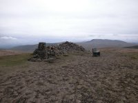
I saw the summit not far ahead. This is the top of High Pike, 2157 ft
above sea level. Beside the trig point and the massive elongated cairn
is a feature unique to Lakeland's summits - a bench seat, fashioned
from stone. According to Wainwright it dates from 1961and is a memorial
to Mick Lewis of Nether Row, and replaced an earlier wrought iron seat.
|

|
Skiddaw, a massive and rather grim-looking hill from this
angle, seen to the south west.
|

|
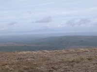
The ruin of the old shepherd's cottage north of the summit.
The Solway Firth and the Caldbeck TV mast can be seen again.
|
|
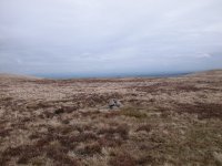
Panning west a little from the shot above brings Criffel, on
the other side of the Solway Firth, into view. The BBC TV and radio
mast at Sandale is also in shot.
|
|
The weather was still holding and I saw no reason to curtail
the walk. I strolled southwest off the summit of High Pike towards the
junction of three paths, tha faint ridge path and the two coming around
either shoulder of the fell. Not fifty metres northeast of the path
junction is this tiny cairn, marking the summit of Hare Stones, a minor
top of High Pike qualifying as a Nuttall.
|
|
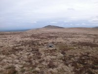
The view from Hare Stones. I'm not entirey sure as landmarks
are at a premium in this area, but I believe this is the view eastwards
towards Carrock Fell.
|

|
From the same point I'm looking south west to my next main
objective, Knott. It's the highest of the Calbeck fells and quite
remote from civilisation. Skiddaw rises behind.
|

|
Looking back towards High Pike.
|
|
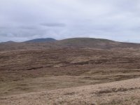
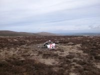
In the middle distance, perhaps half a mile away, is my next
objective, Great Lingy Hill. A tiny speck of white marks the summit.
Getting there involved a walk across trackless rough grass and heather.
|
|
The white speck turned out to be a "men at work" roadsign
built into the cairn. It's the only interesting feature of Great
Lingy Hill, save that it also qualifies as a Nuttall.
|
|
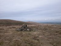
Another fifteen minute march across further wastes of rough
grass and heather saw me at the top of Little Lingy Hill. It's a finer
and better defined hill than its bigger brother, but unfortunately at
1998 ft high it just fails to get into the ticklists. Strictly, the
name Little Lingy Hill is appended to the slopes to the south rather
than the top. The hill is also known as Iron Crag, though strictly this
is a feature on the northern slopes above another old mine.
|

|
From Little Lingy Hill I've got my work cut out, for the next
three quarters of a mile involves a descent to the col of Miller Moss
then a climb of the steep northern slopes of Knott, all over pathless
country. There's a lot of heather growing here and the walk is going to
be tedious.
|

|
Miller Moss, with Carrock Fell in the distance. I'm in the
midst of a waste of heather and bog. This kind of country is atypical
of the Lakes and much more akin to the Pennines. I stopped here for a
refreshment break before tackling the steep slopes of Knott
|
|
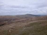
Once I got above the heather I found a good line of ascent,
and discovered a faint path in the grass. It's presumably the usual
route from High Pike and Carrock Fell. That is Carrock Fell in view,
looking back along my ascent route.
|
|
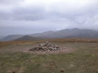
The summit of Knott, 2329 ft, and a beautiful patch of turf.
Heaven knows what serves to keep the grass so short and sweet up here
because there is no sign of any grazing sheep for miles around. The
vast bulk of Skiddaw is in view here with Lonscale Fell over to the far
left. The cone shaped top in the middle distance is Great Calva, which
will be my final top of the day.
|

|
To get to Great Calva from Knott I have to walk around the
head of Wiley Hill in a wide arc. A good path descends to the col.
Skiddaw and Bakestall are seen beyond, with a glimpse of Bassenthwaite
to the right.
|

|
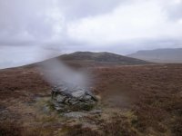
There's the col just below. Skiddaw is seen beyond, a cloud
just brushing its summit. |
|
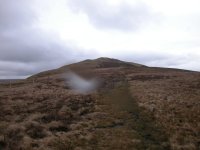
I descended to the col but left the path at that point to
visit the minor top of Little Calva, a Nuttall, half a mile ahead.
There was a path of sorts at first but it peterd out. Little Calva is a
horrible place, a nasty and extensive waste of heather-cloaked bog over
which progress is slow and tedious. It didn't help that it chose to
spit with rain as I sought out the highest point. Eventually you reach
a fence but it's difficult to follow thanks to the pools of stagnant
water either side. I found this cairn on the other side of the fence. I
didn't realise until I got home but there was rain on the lens when I
photographed the cairn. It will have to do, I doubt very much whether I
will ever bother to visit Little Calva again.
|
|
There was a path of sorts between Little Calva and Great
Calva, running ten or twenty metres south of the ridge fence for the
most part. It's a splendid trek
for those who enjoy wading through soup. The only relief is when you
swap slop for steepness.
|
|
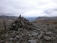
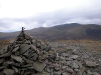
My final summit of the day, Great Calva, 2265 ft. It's in an
interesting situation, overlooking the whole length of the
Glenderaterra
Valley and beyond that the Thirlmere gap towards Dunmail Raise.
|
|
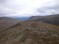
Skiddaw from Grear Calva
|
|
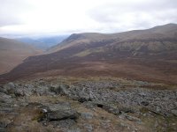
Lonscale Fell and the Glenderaterra Valley seen from Great
Calva
|
|
The stony top of Great Calva
|

|
The slopes of Great Calva, unlike its summit, are cloaked in
heather. The descent path is obvious at first but it becomes ever
thinner as it loses height. At least the terrains is relatively firm,
dry and even and one can strike up a decent pace. The path veers to the
right, eventually descending to the Skiddaw House access drive about
half a kilometre northwest of Skiddaw House itself.
|

|
The heathery dome of Great Calva from Skiddaw House. I had a very long walk back to Keswick from here and the day proved to
be very tiring. I chose the wrong track in the Glenderaterra valley and
found myself heading around to Threlkeld. I could have saved some
effort by walking into the village and taking the bus but I was on
schedule to miss one by five or ten minutes. Faced with this delay I
found a footpath down to Derwentfolds and then took the woodland path
alongside the Greta back to Keswick. I'd reckoned without the ups and
downs of this path, which I was really too tired to trackle. Back at
the hotel I plotted the route on the laptop and discovered that I'd
walked about 15.6 miles with 3600 ft of ascent. No wonder I was
shattered. But despite the iffy weather and the tiredness I'd had a
thoroughly satisfying day.
|
![]()