
|
I've chosen to attempt this walk on a Saturday for the reason
that,
at this time of year, it's the only day of the week that the bus from
Keswick
to Caldbeck operates. I was nearly out of luck on this occasion as the
bus had hit an obstacle on the road early in the morning, but after
some
delay it was declared roadworthy and set off, with just one other
passenger
apart from me. The bus dropped me at the village of Mingrisedale and I
set off along the track to the east, leading into the valley of
Bannerdale. |

|
Just after starting off I took this shot looking back at
Mungrisedale. |

|
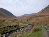
The path enters open country almost immediately. Here I'm
walking alongside
the Glenderamackin river. The cliffs of Bannerdale Crags are visible at
the head of the valley. |
|
Nearing the foot of the Tongue, the east ridge of Bowscale
Fell. The
fell can be climbed by this ridge but I'm planning an easier ascent. |

|
The river has meandered off to the left and now the track is
leading
into Bannerdale. That's Bannerdale Crags, which will be the day's
second
objective, straight ahead. |

|
The path now climbs steadily up the southern shoulder of the
Tongue,
heading for the col between Bowscale Fell and Bannerdale Crags. |

|
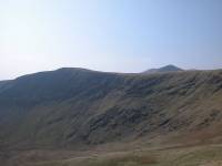
The path is steeper than it looks. According to Wainwright
this is
one of the oldest walking routes in the district. |
|
I'm having to take frequent rest stops, not being very fit
after a
winter of indolence. Here I'm looking across Bannerdale to the felltop.
Blencathra is beginning to appear above the immediate ridge line. |
|
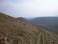
Looking back down Bannerdale. Mungrisedale village is lost to
view. |
|
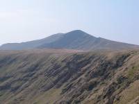
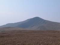
Bannerdale Crags in all their glory, with Blencathra's north
top of
Atkinson Pike immediately behind. |
|
The col at last! Atkinson Pike looks very daunting from here. |
|
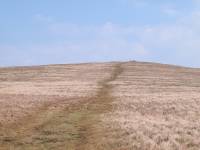
Looking north from the col, and Bowscale Fell is just a few
minutes
away. The summit cairn is already visible. |

|
And this is Bowscale Fell, my first objective of the day and
my 143rd
Wainwright. It's 2306 ft above sea level, and just over 1450 ft higher
than Mingrisedale, 2½ miles back. |

|
Looking north across the vale of the Caldew to Carrock Fell,
2½
miles away. |

|
Looking south, back to the col, with Bannerdale Crags to the
left and
Blencathra to the right. |
|
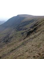
I've walked back down to the col and I'm now continuing
southwards
along the lip of the crags. There's a steady east wind blowing. |

|
Atkinson Pike looms large on the other side of Bannerdale
Crags. |
|
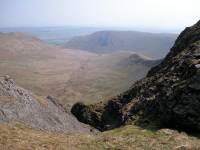
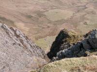
An "oo-er" moment on the lip of Bannerdale Crags. This would
not be
a good place to walk if the wind was in the west. |
|
Another giddy view down into Bannerdale. |

|
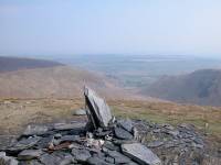
The cairn that marks the nominal top of Bannerdale Crags,
with Great
Mel Fell in the distance, a hill that I climbed a year ago to the
day. |
|
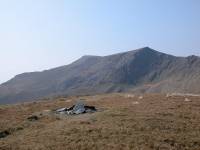
The cairn again, with Bannerdale behind. The cairn is not
actually
at the true summit of the fell. |
|
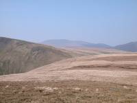
This is the true summit of Bannerdale Crags, about a hundred
metres
west of the cairn and unmarked. To the southwest is the "saddle" of
Blencathra
that gives it the alternative name of Saddleback. Blencathra is at the
south (left) end of the saddle, Atkinson Pike at the north end.
Bannerdale
Crags has an elevation of 2230 ft. |
|
I'm now following the path along the other side of Bannerdale
Crags,
to the west. The Glenderamackin col is just ahead, and Skiddaw is
coming
into view in the distance. |
|
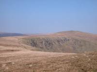
Looking back to Bowscale Fell. |

|
The path to the Glenderamackin col is not marked on the OS
map, though
Wainwright's guide of 1962 shows it clearly. |
|
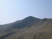
Nearing the col now, and a close-up of Atkinson Pike. |

|
Zooming in, we can see Sharp Edge - the east ridge of
Atkinson Pike
and one of the scariest aretes in England. Sharp Edge is an unusual
feature
in the northern fells, which are mostly smooth and rounded. It is
regarded
as beyond the capabilities of many ordinary walkers and is dangerous in
wet weather. |

|
Approaching the col now. |

|
Another close-up of Sharp Edge, which is crowded on this
sunny Saturday. |
|
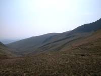
The view down the Glenderamackin valley, along which there's
a path
to Scales. |

|
My third objective for the day is not Blencathra itself but
another
top, that of Mungrisedale Common. It lies to the northwest of its
parent
fell and is reached by following a path, probably a sheep track
originally,
straight on from the Glenderamackin col. Here I'm looking back at
Atkinson
Pike. |

|
In Wainwright's day the summit of Mungrisedale Common was
unmarked,
and with good reason - it's little more than a sprawl of featureless
moorland,
virtually flat, with almost nil reascent from Blencathra itself.
Walkers
still wonder why Wainwright classified it as a separate fell, and there
are two theories - either he included it as a joke to see how many
walkers
would seek out the summit, or he was desperate to fill pages in the
Northern
Fells volume. Thanks to its inclusion it now has a cairn, on which no
less
than seven paths converge. The height is given as 2068 ft. |

|
Wainwright was scathing about this top, commenting that "it
has no
more pretension to elegance than a pudding that has been sat on."
Nevertheless,
on a sunny day like this it has a certain charm. It counted as my 145th
Wainwright. |

|
There's a direct and obvious path back to Atkinson Pike. This
is a
retrospective view of Mungrisedale Common. |

|
The head of Roughten Gill to the south, which leads into the
Glenderaterra
valley between Blencathra and Skiddaw. |

|
Heading directly for the foot of Atkinson Pike now, and the
gradient
is steepening. |

|
That's the path up beside Foule Crag, which is littered with
loose
slate and is slow going. |

|
This is a good viewpoint for Sharp Edge. |

|
A close-up of Sharp Edge, crowded with walkers. I don't envy
them. |
|
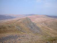
A look back at the nameless bump north of Atkinson Pike, with
Bannerdale
beyond and to the right. |

|
The slaty east side of Atkinson Pike, known as "blue screes". |

|
Up to the summit ridge at last, looking to Blencathra's
principal summit
of Hallsfell. |

|
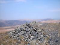
This is the summit cairn of Atkinson Pike, looking benign and
giving
no hint of the majesty of its supporting slopes. |
|
The summit of Atkinson Pike again, looking north. |

|
There's a second cairn, seen here, which has the illusion of
looking
higher than the first. |

|
It's an easy stroll across the saddle to Blencathra proper. A
feature
of the saddle is the pair of quartzite crosses each side of the col.
This,
the larger of the two, is the work of Harold Robinson, who extended an
existing small cross immediately after the second world war. |

|
The col between Atkinson Pike and Blencathra. |

|
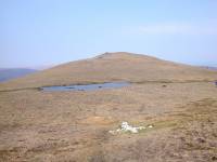
The second cross. Its builder, like its purpose, is unknown. |
|
Looking north across the col from the short ascent to
Blencathra. |
|
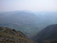
As you arrive at the summit there's a "wow!" moment as the
view to
the south is revealed. Clough Head and Thirlmere seen across the
Keswick
- Penrith gap. |

|
The view to the east, with the lower part of Sharp Edge in
shot with
Souther Fell beyond. |
|
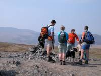
The summit. When I arrived at the top there were no less than
thirty
three other walkers already present, plus two dogs. Surprisingly, for a
hill as prominent as Blencathra (an English Corbett at 2847 ft), there
is no Ordnance Survey trig pillar, just a simple cairn. |

|
Scales Fell, the southeast ridge and the most popular ascent
route
of the fell. |

|
A rare moment of solitude at the summit cairn allowed me to
get this
shot of the ridge westwards to Gategill Fell Top, with a glimpse of
Derwentwater
beyond. |

|
It's an easy walk along the ridge to the west, with a lot of
rock architecture
to enliven the journey. |

|
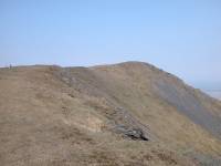
At the head of one of the many gullies a view opens out
southwards
down the length of Thirlmere. The highest point of the skyline, almost
in the centre of shot, is Helvellyn. |
|
A look back at Blencathra's summit. |

|
Looking towards the northwest, this is probably the best shot
of Mungrisedale
Common that it's possible to get. |

|
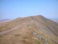
Dramatic scenery near the top of the Gategill ridge. |

|
The crag of Gategill Fell top. |
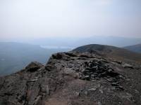
|
The retrospective view of Blencathra's "saddle" to the east. |
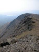
|
The summit of Gategill Fell Top, which qualifies as a Nuttall
and is
2792 ft above sea level. |
|
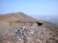
Looking westwards along the ridge to Blease Fell. |
|
Looking the other way from Gategill Fell top, back towards
Blencathra's
principal summit of Hallsfell. |

|
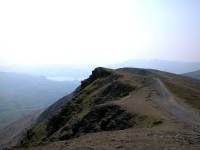
Another nameless outcrop along the ridge path to Blease Fell. |
|
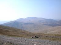
You can't beat scenery like this. |
|
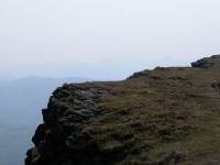
A fine view of Skiddaw to the west.... |

|
...and one of Helvellyn to the south. |
|
It's very hazy, but just for the sake of completeness that's
Scafell
Pike in the distance to the southwest. |

|
It's a good two miles along Blencathra's summit ridge from
Hallsfell
to Blease Fell, and it's packed with interest all the way. |

|
The final ascent of the day as I approach Blease Fell. |
|
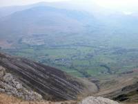
Blease Fell, Blencathra's westernmost top, 2638 ft above sea
level.
A splendid view across the Keswick - Penrith gap towards Clough Head. |

|
Gategill Fell from Blease Fell. |

|
The little summit cairn, with a glimpse of Thirlmere behind. |

|
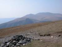
A broad path leads off to the southwest, straight towards
Keswick. |
|
Skiddaw from the descent path. |

|
Blease Fell is the western shoulder of Blencathra, and it's a
huge,
convex half dome. The gradient steepens as you descend. |

|
You have to take the descent slowly. It's long and tedious
and is hell
on the knees and the calf muscles. |
|
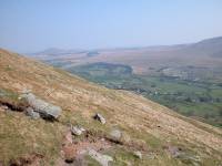
A shot to the southeast on the long descent of Blease Fell.
The path
gradually curves around to the left to approach Threlkeld. The only
problem
with Blease Fell is that it lacks a path down into the Glenderaterra
Valley,
which would make a great end to the day and would be handy for Keswick.
It could be done, if you want to tackle steep trackless grass, but it
wouldn't
be at all pleasant. |
|
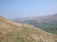
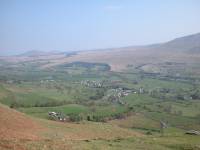
Threlkeld quarry appears first.... |
|
...and then Threlkeld village itself. |

|
Here we can look back up the ravine of Blease Gill to the
summit ridge. |

|
The path approaches Threlkeld at last, but there are still
steep descents
to come. The path has benign stretches like this but other parts are
badly
eroded. |

|
St John's Vale to the south. Thirlmere is no longer visible. |

|
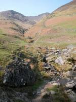
The path runs up against the intake walls just north of
Threlkeld. |
|
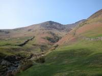
A dramatic view of Blease Gill. |
|
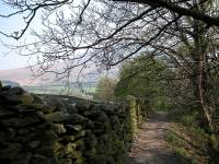
Blease Gill from the gate. |
|
The path now leads into Threlkeld alongside the wooded lower
reaches
of Blease Gill. |

|
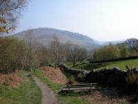
The path along Blease Gill to Threlkeld. |
|
A lovely view of Clough Head. |

|
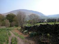
Threlkeld draws near. |
|
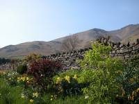
The last few hundred metres... |

|
...leads down to the car park. |
|
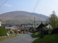
A last look back at Blencathra. |
|
All that remained was to walk down through the village to the
bus stop. |

|
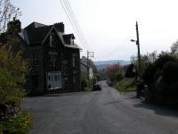
Threlkeld, laying off the main road, is very quiet. |
|
There's the bus stop. I've timed it well, just ten minutes to
wait. |

|
So just time for this final shot, across to Clough Head and
Threlkeld
quarry. |
![]()